
Day 176: NH-ME
10,03 km (6.2 miles) 1908.0 / 2189.8 miles NH-ME state line, NH/ME The morning was...
10,03 km (6.2 miles) 1908.0 / 2189.8 miles NH-ME state line, NH/ME The morning was...
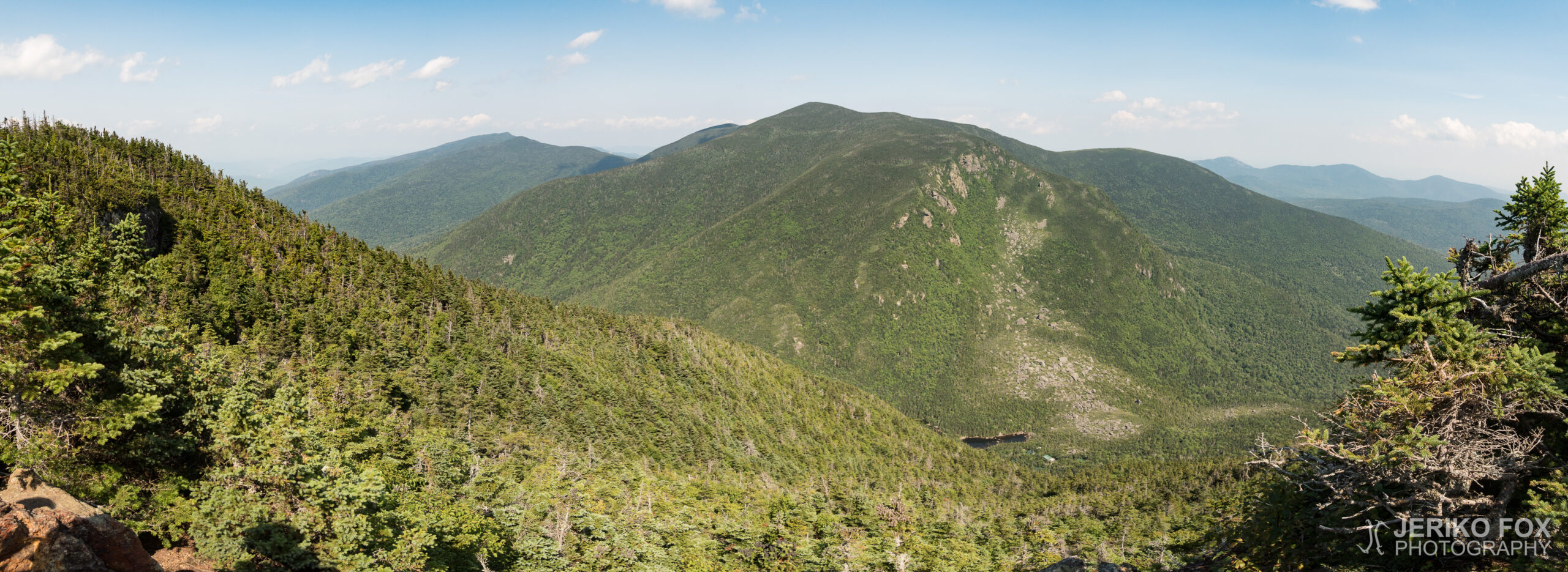
13,73 km (8.5 miles) 1901.2 / 2189.8 miles Dream Lake, NH Kim’s husband, Patrick, took...
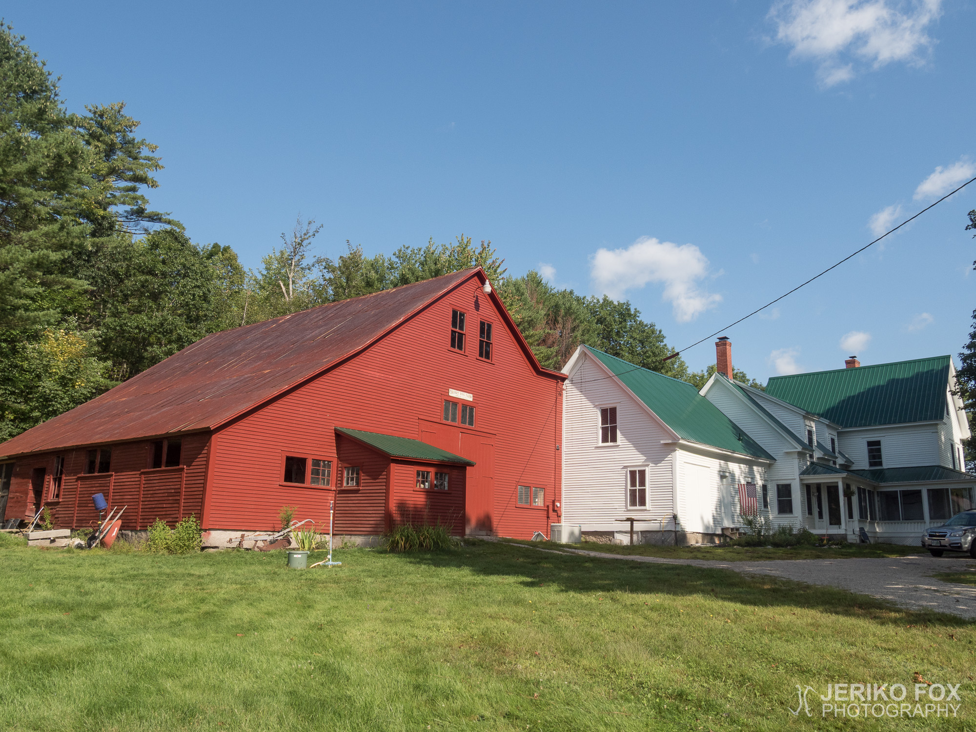
0 km (0 miles) 1891.5 / 2189.8 miles Chatham, NH My zero in Chatham, as...

17,86 km (11.1 miles) 1891.5 / 2189.8 miles Chatham, NH The morning came with a...
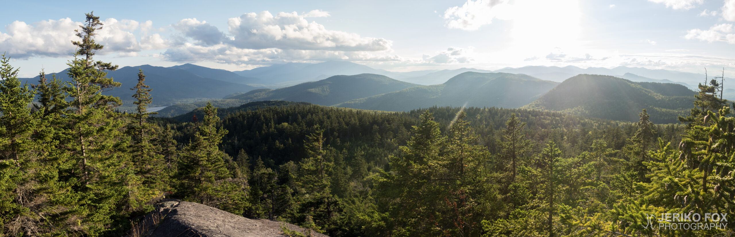
11,08 km (6.9 miles) 1880.0 / 2189.8 miles Stealth campsite, NH After a well slept...
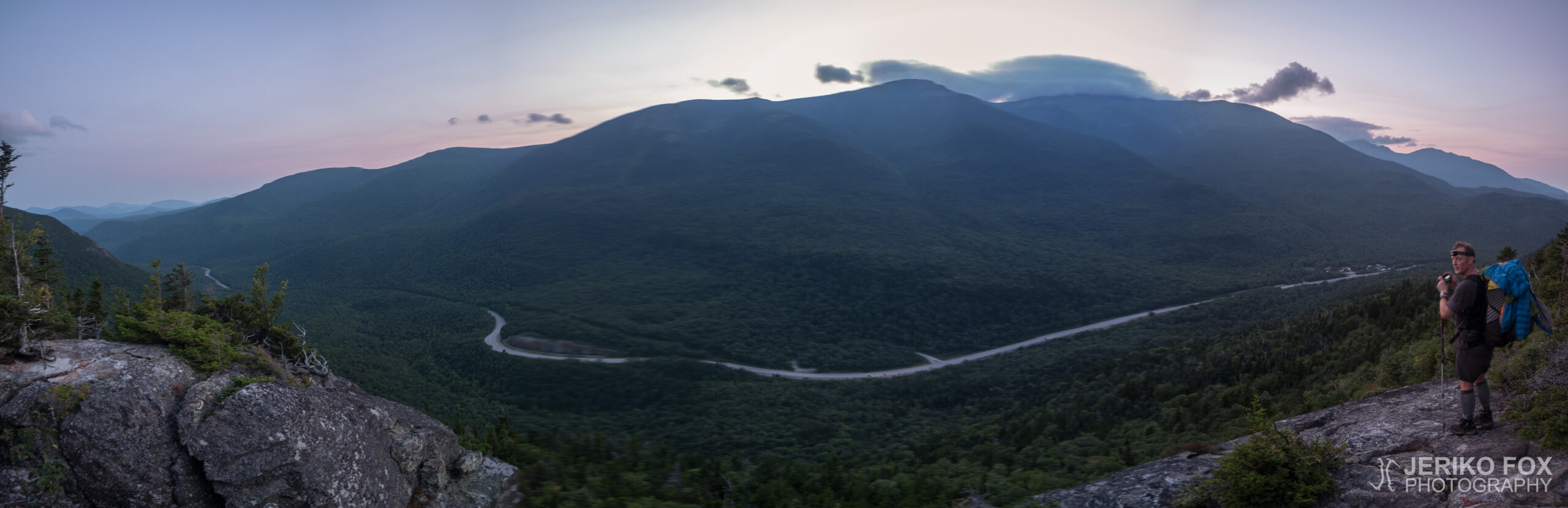
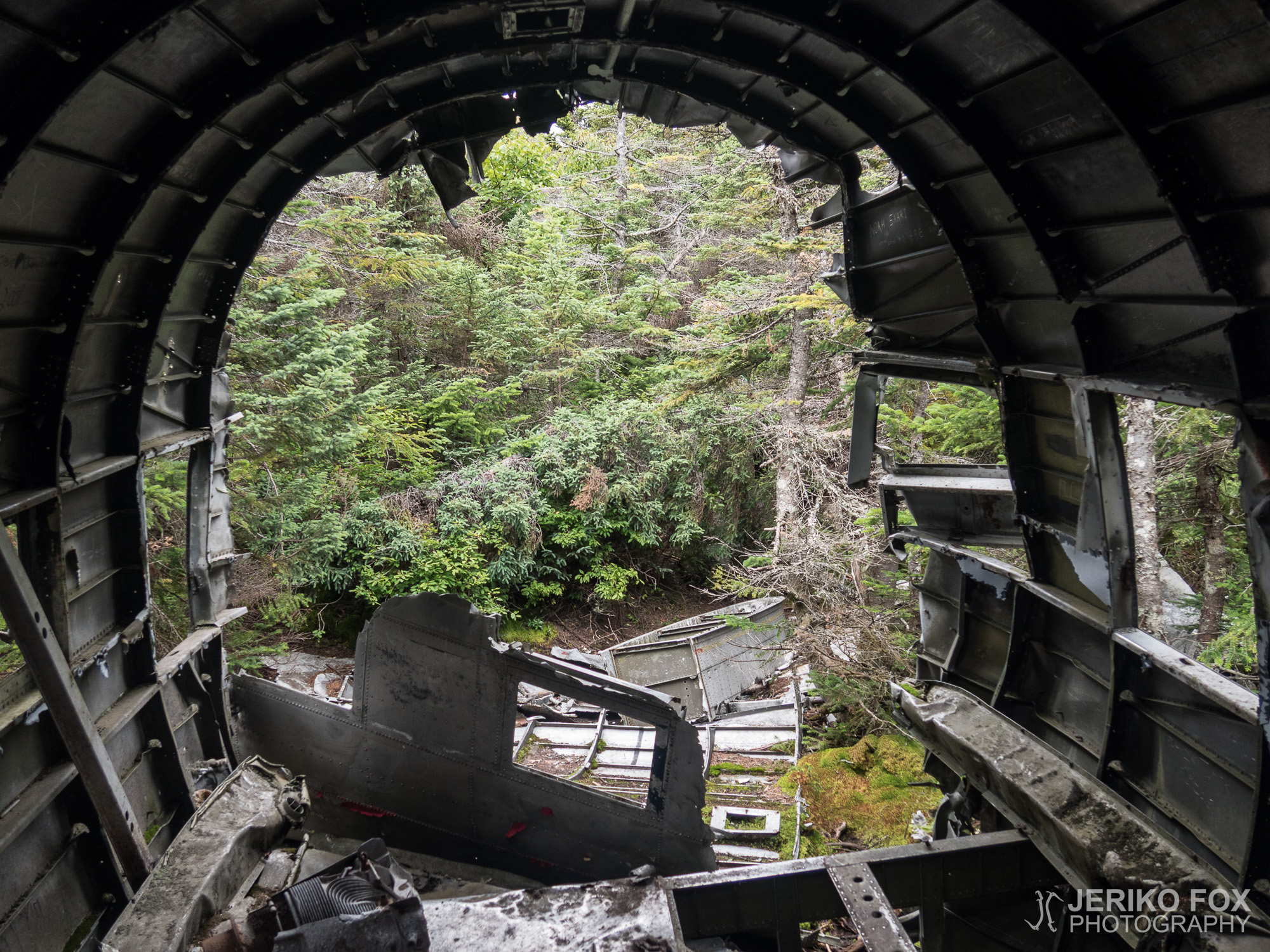
16,74 km (10.4 miles) 1872.2 / 2189.8 miles Stealth campsite, NH “Just waking up in...

15,69 km (9.7 miles) 1860.2 / 2189.8 miles Stealth campsite, NH During the night it...