
Day 182: Rangeley
14,06 km (8.7 miles) 1969.4 / 2189.8 miles The Hiker Hut, Rangeley, ME My sleep...
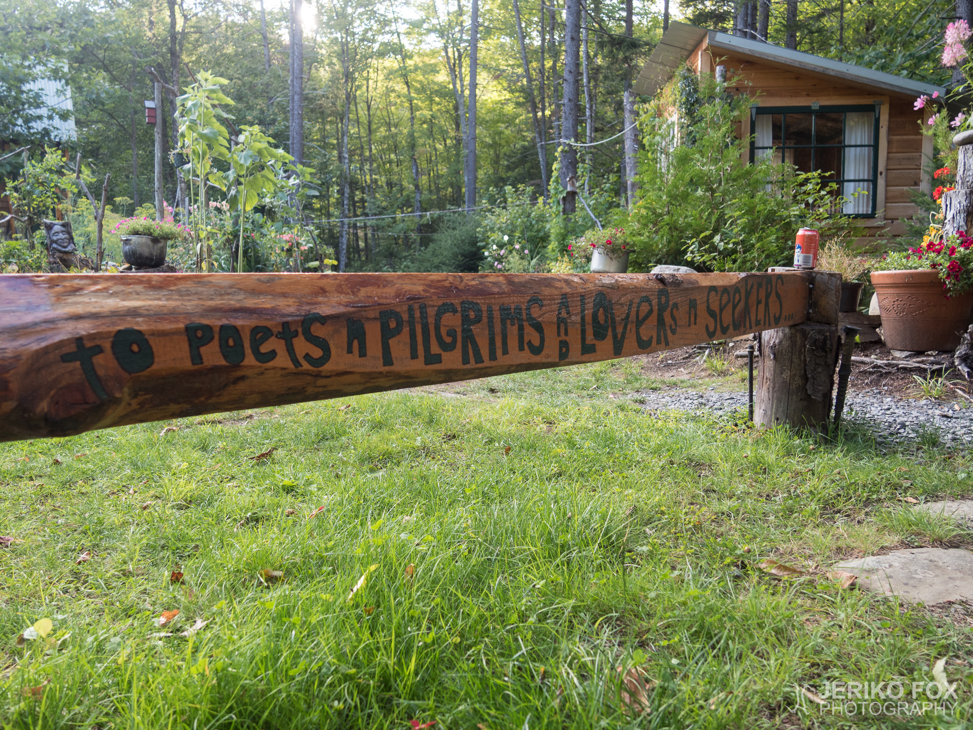
14,06 km (8.7 miles) 1969.4 / 2189.8 miles The Hiker Hut, Rangeley, ME My sleep...
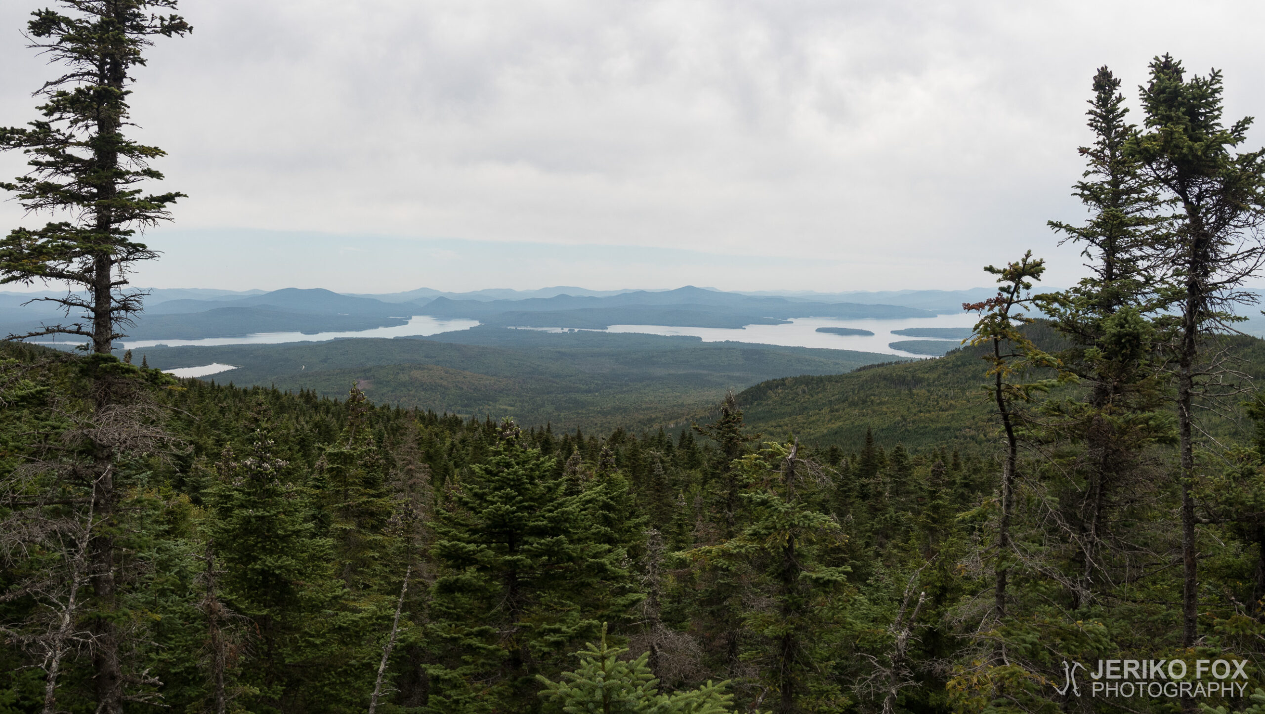
17,58 km (10.9 miles) 1960.0 / 2189.8 miles Sabbath Day Pond Lean-to, ME The morning...
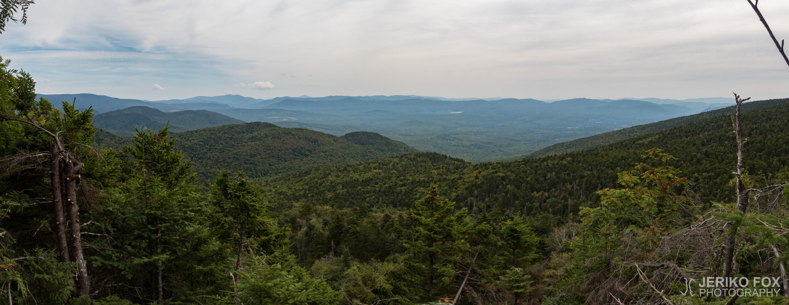
20,11 km (12.5 miles) 1947.4 / 2189.8 miles Unnamed Gap, ME My standards for budget...
11,24 km (7 miles) 1932.9 / 2189.8 miles Pine Ellis Lodging, Andover, ME The sunny...
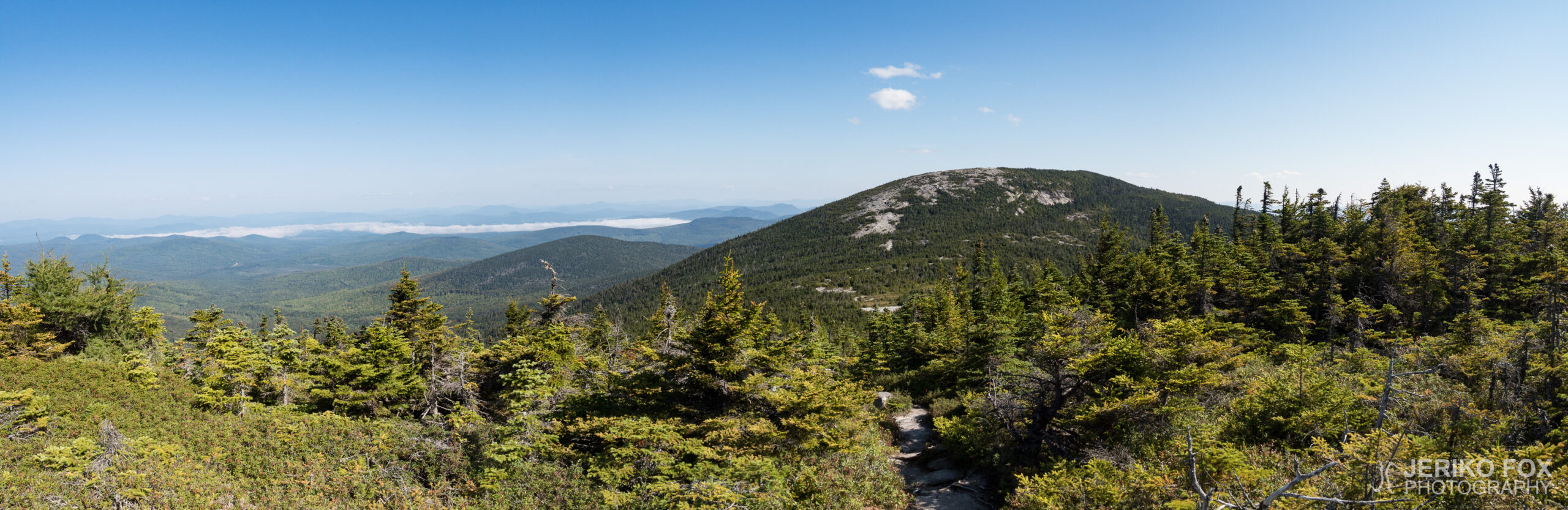
12,83 km (8 miles) 1924.9 / 2189.8 miles Baldpate Lean-to, ME “From this valley they...
10,45 km (6.5 miles) 1915.5 / 2189.8 miles Stealth campsite, ME As I was taking...
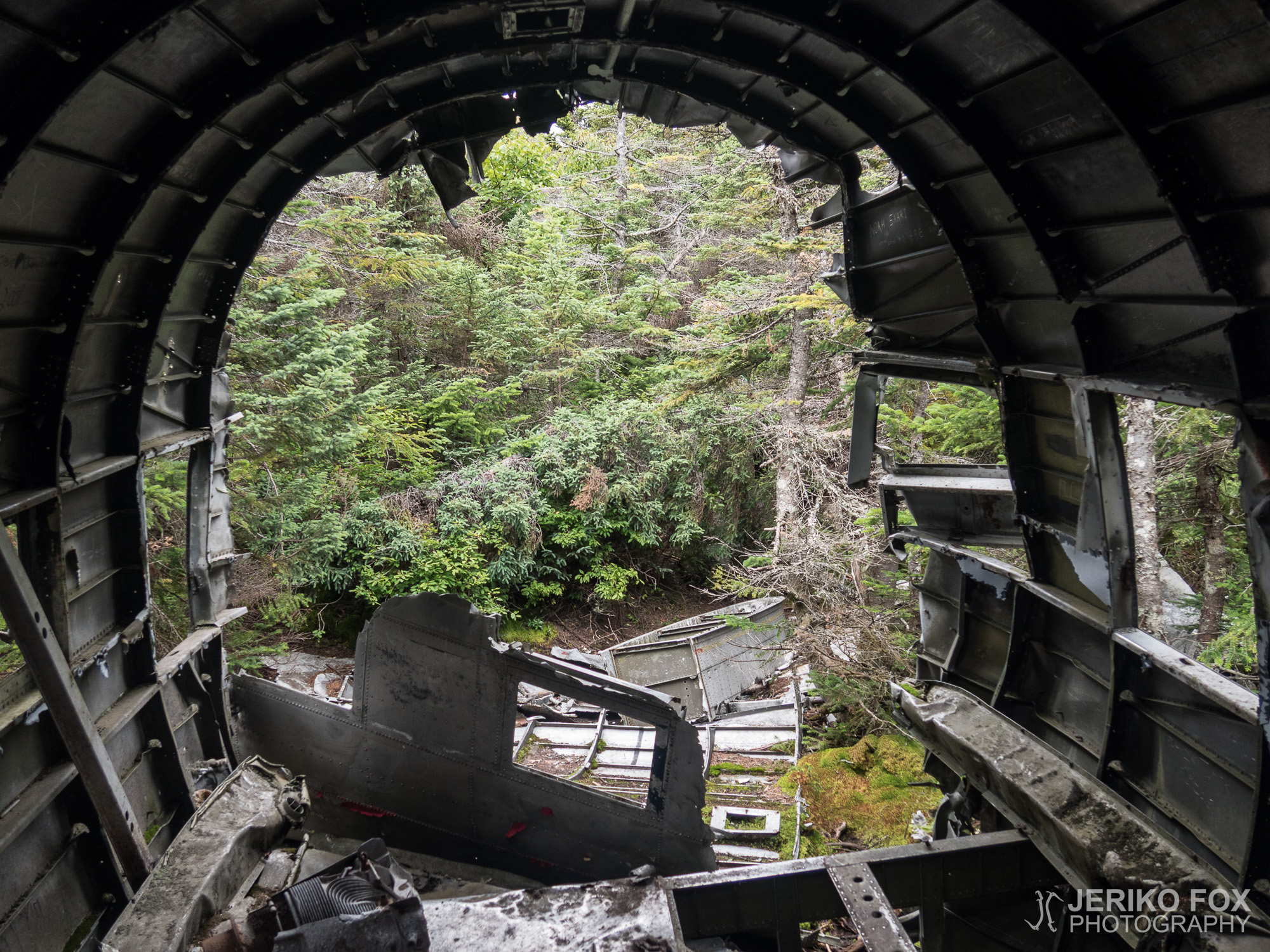
10,03 km (6.2 miles) 1908.0 / 2189.8 miles NH-ME state line, NH/ME The morning was...