
Dufourspitze Attempt
My cell phone woke me up somewhere between 1 am and 2 am. The sleep...
My cell phone woke me up somewhere between 1 am and 2 am. The sleep...
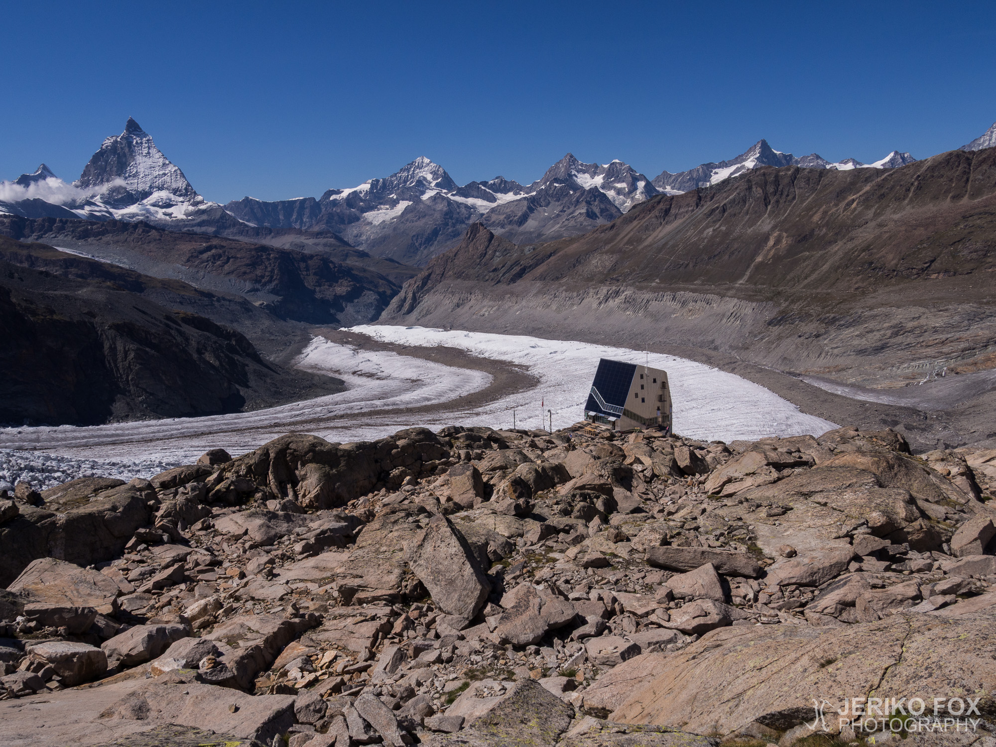
After reaching the summit of Großglockner in 2013, I have been dreaming about my next big...
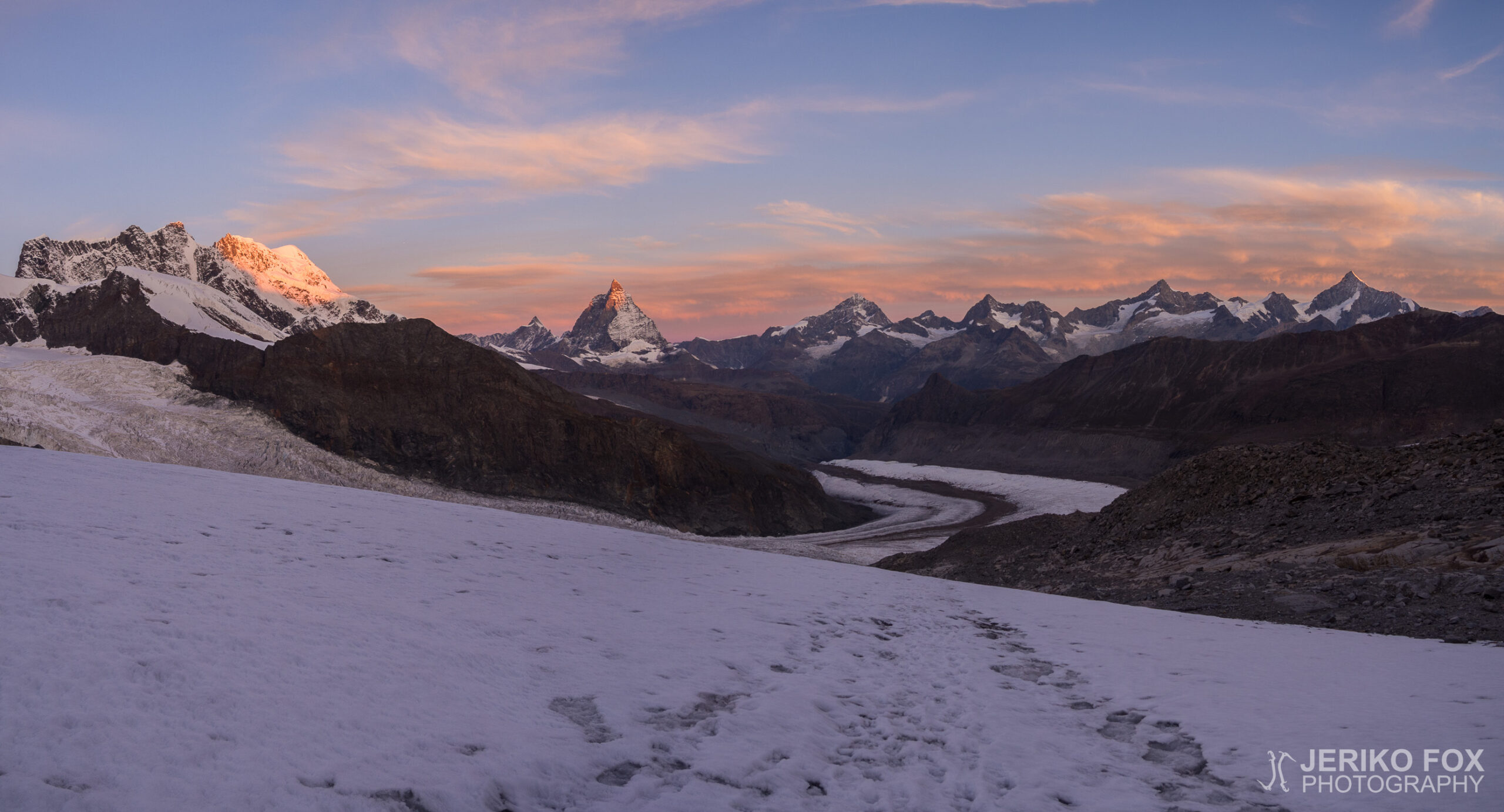
I woke up at 6 am, at the sunrise, and told Dima to wake up...
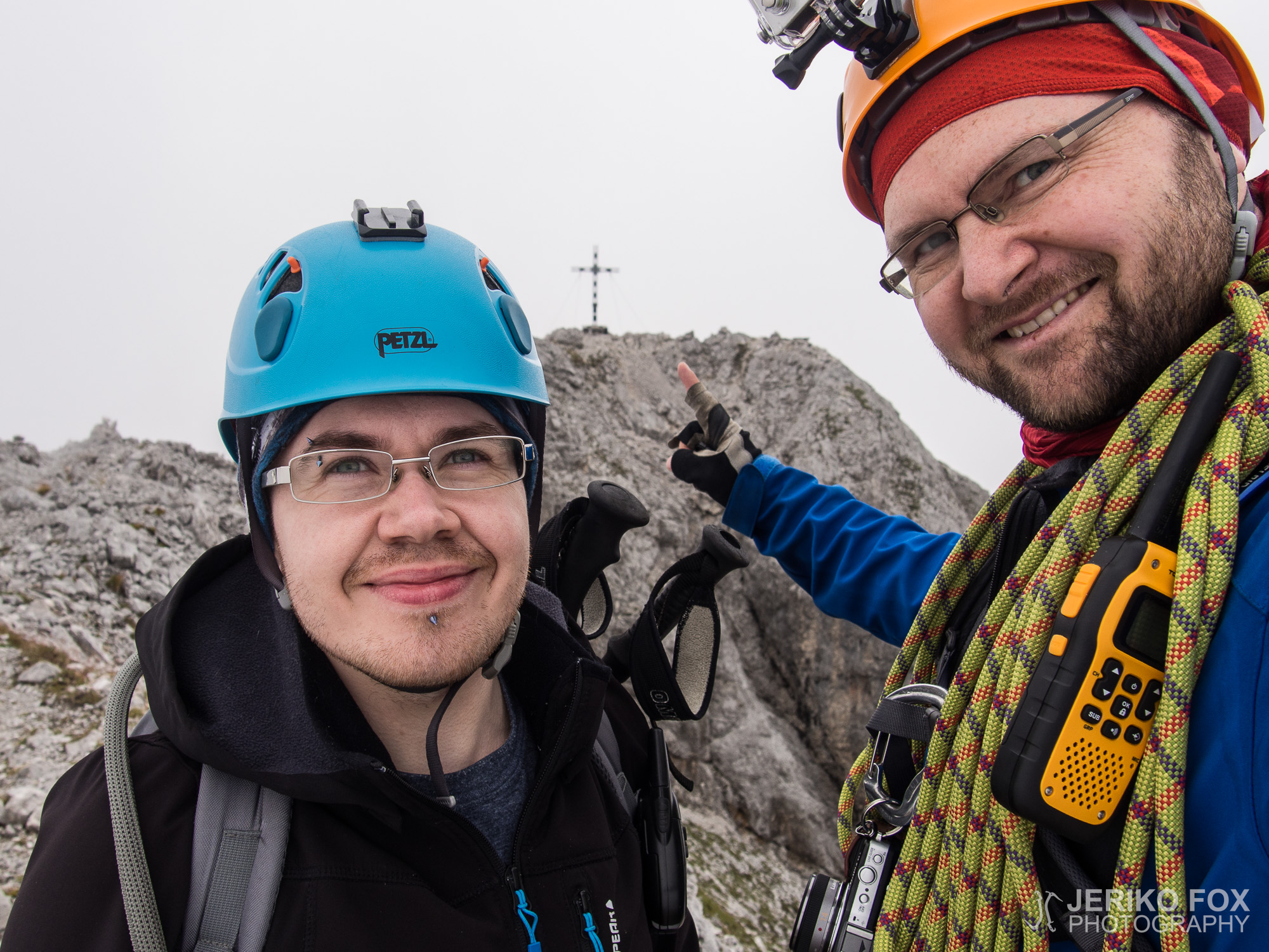
Elevation: 2962 mProminence: 1746 mLocation: Garmisch-Partenkirchen/Grainau, Bavaria, GermanyRange: Wetterstein Zugspitze in SummitPost Climb Fox and Dima...
Elevation: 2417 mProminence: ?Route elevation: 1443 mLocation: Tyrol, AustriaRange: Mieming Range Ehrwalder Sonnenspize in SummitPost Climb...