
Naurissaari & Ruohosaari – Return to the Bunker Island
I bought a packraft two years ago and, although I don’t paddle all that often,...
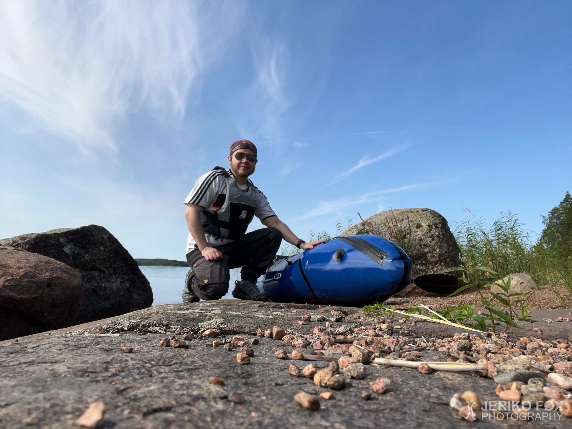
I bought a packraft two years ago and, although I don’t paddle all that often,...
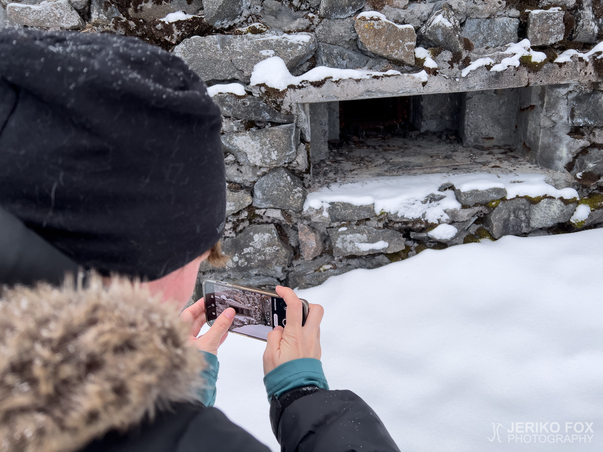
Naurissaari (lit. Turnip Island) is a small island in Lappeenranta, located off the shores of...
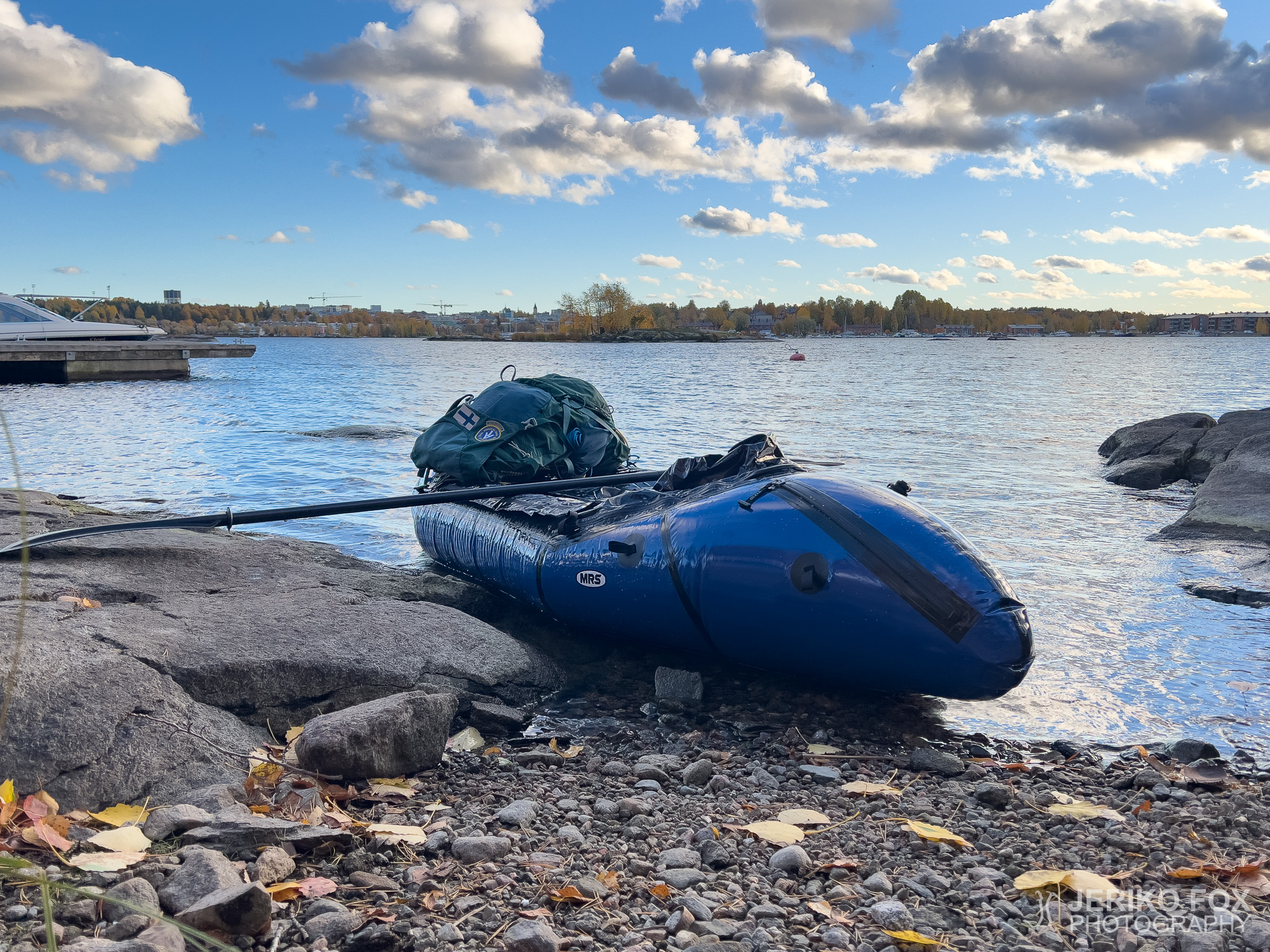
A couple of years ago, I took part in a beginner’s packrafting course, having long...
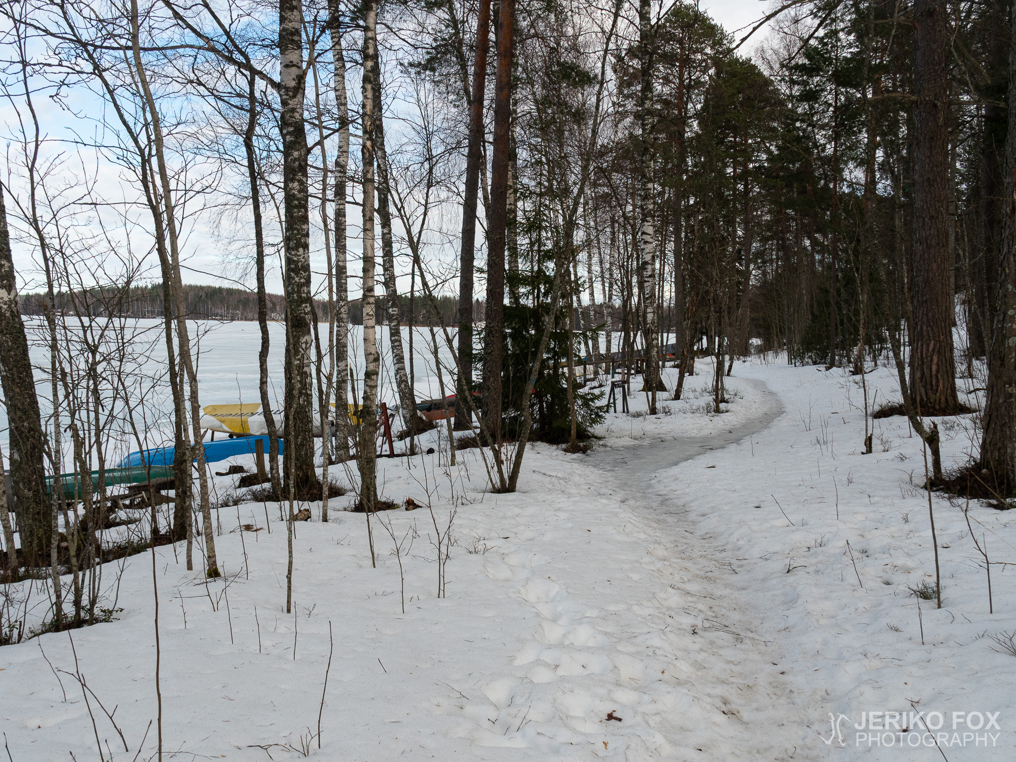
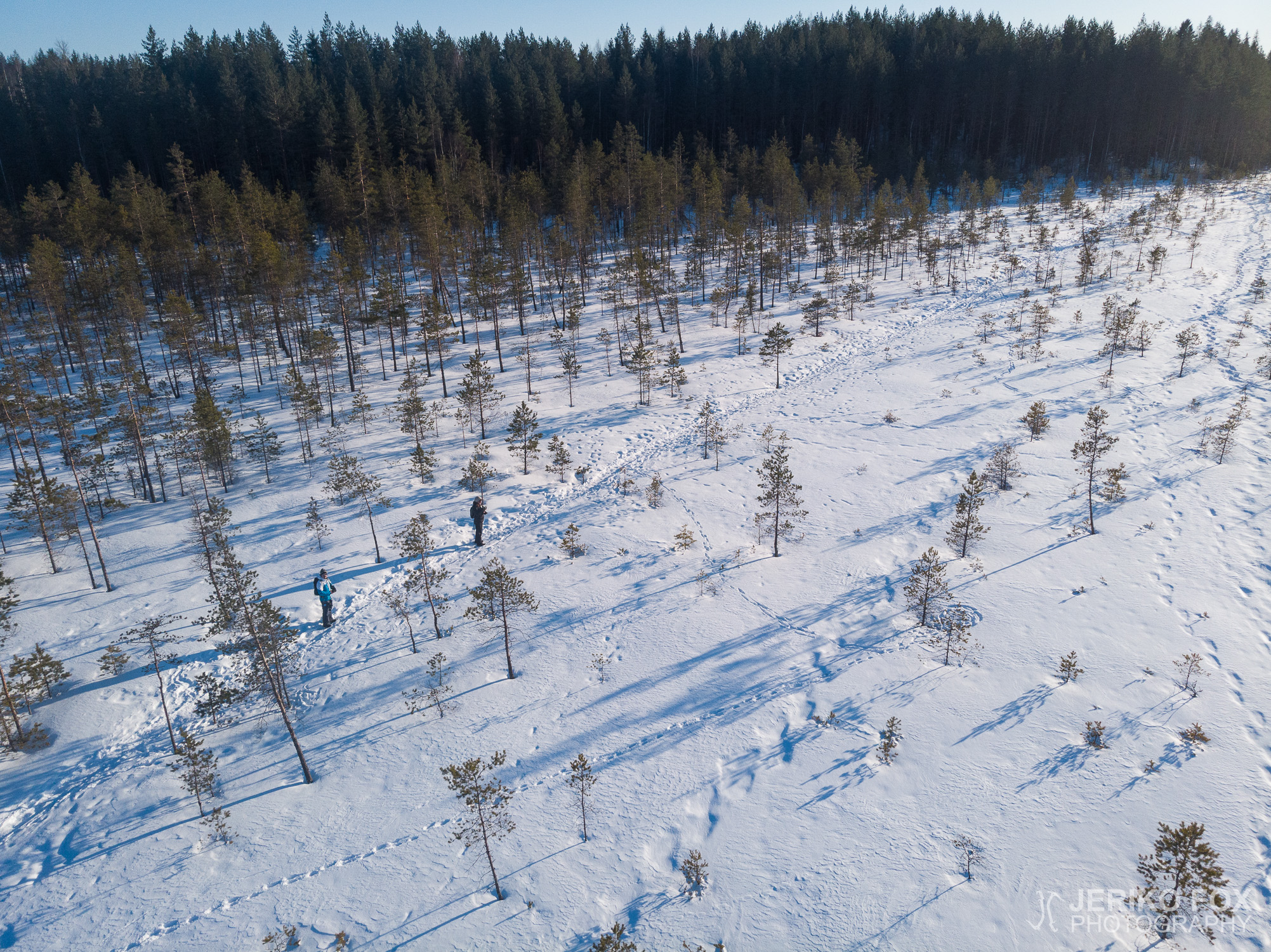
As the number of sunny days keeps increasing, so does my excitement about hiking. Although...
I have on my agenda to roam through the nature trails and hiking trails nearby,...
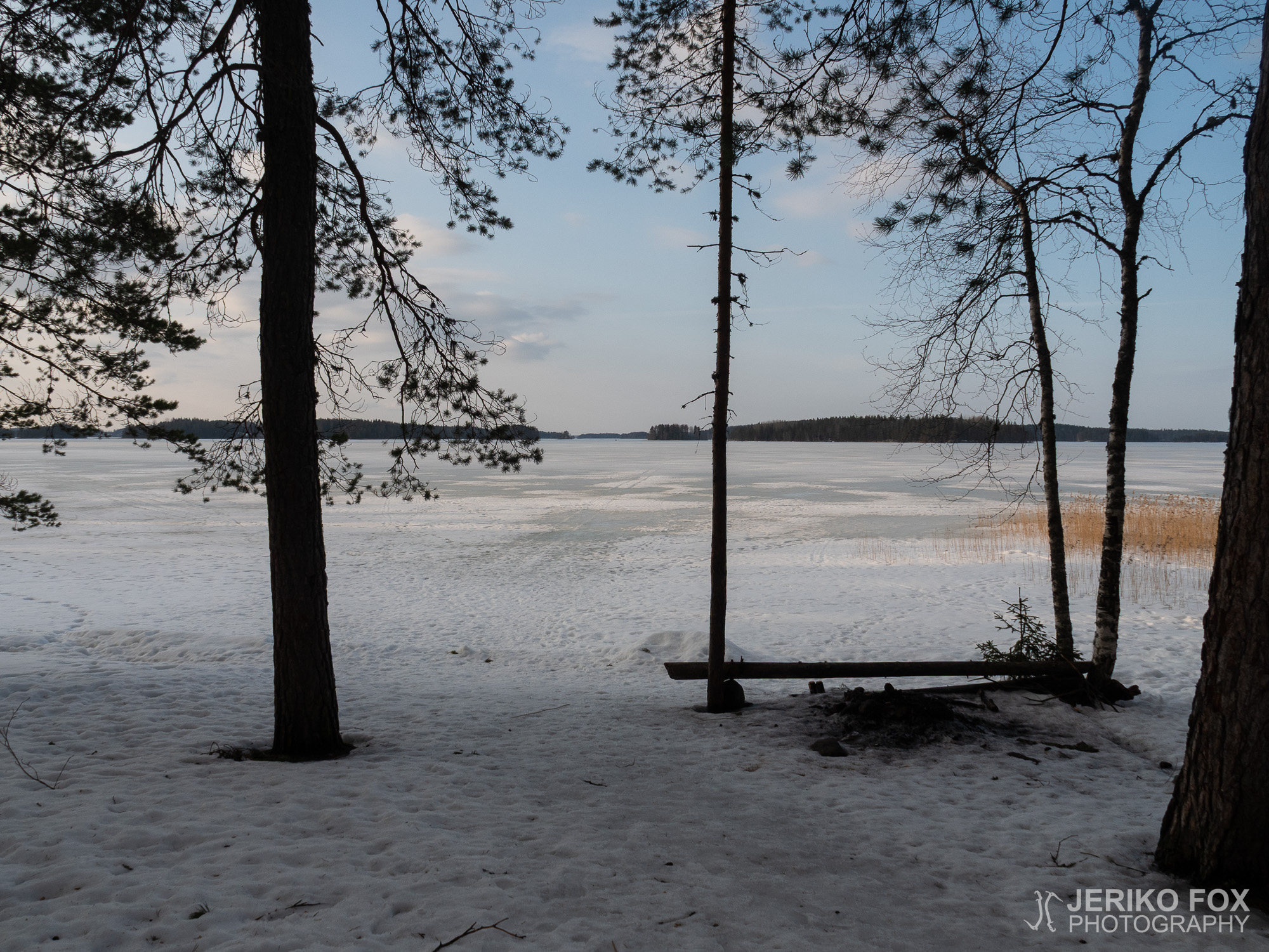
The early spring has offered nice weathers and sunshine this year. Unfortunately I have had...
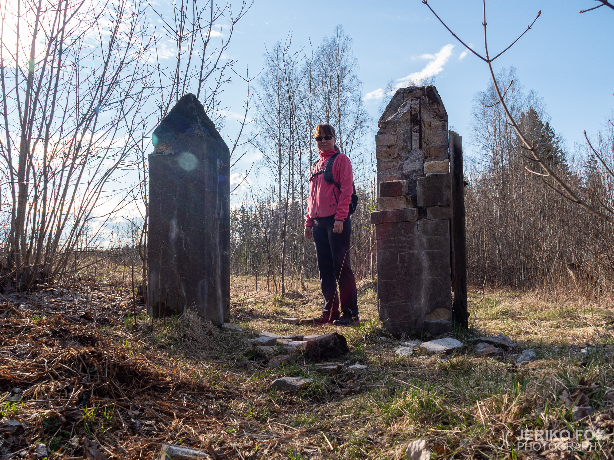
The Rutola village is located west from Lappeenranta – near the intersection of routes 6...