
Ice Climbing Season is on Full Swing
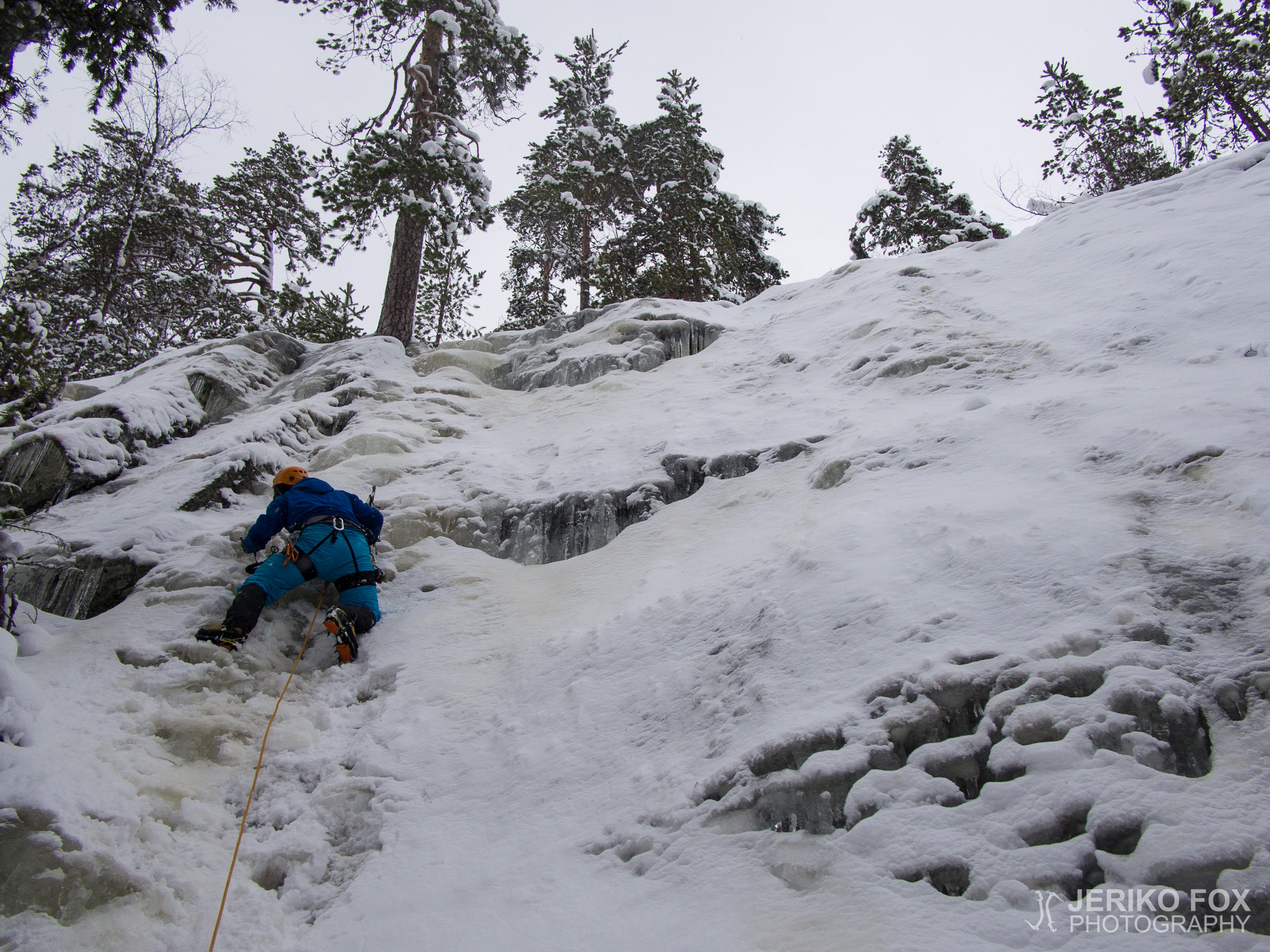
Even though the beginning of the winter seemed promising, the warm weather in December destroyed...

Even though the beginning of the winter seemed promising, the warm weather in December destroyed...
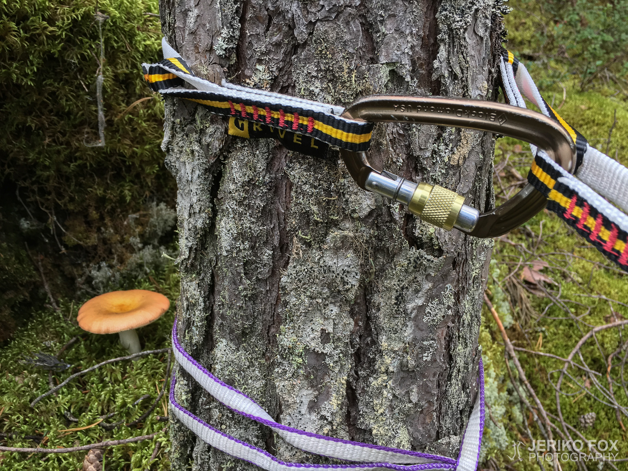
While bouldering with Riikka last spring, I found a potential trad climbing crag from Neulaniemi in Kuopio....
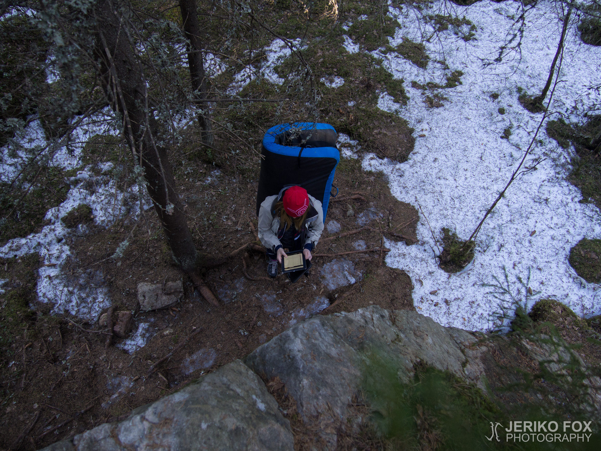
All the snow wasn’t yet gone from the forest, but me and my classmate Riikka...
Me and Dima had been examining the maps of Neulamäki area and knew that there...
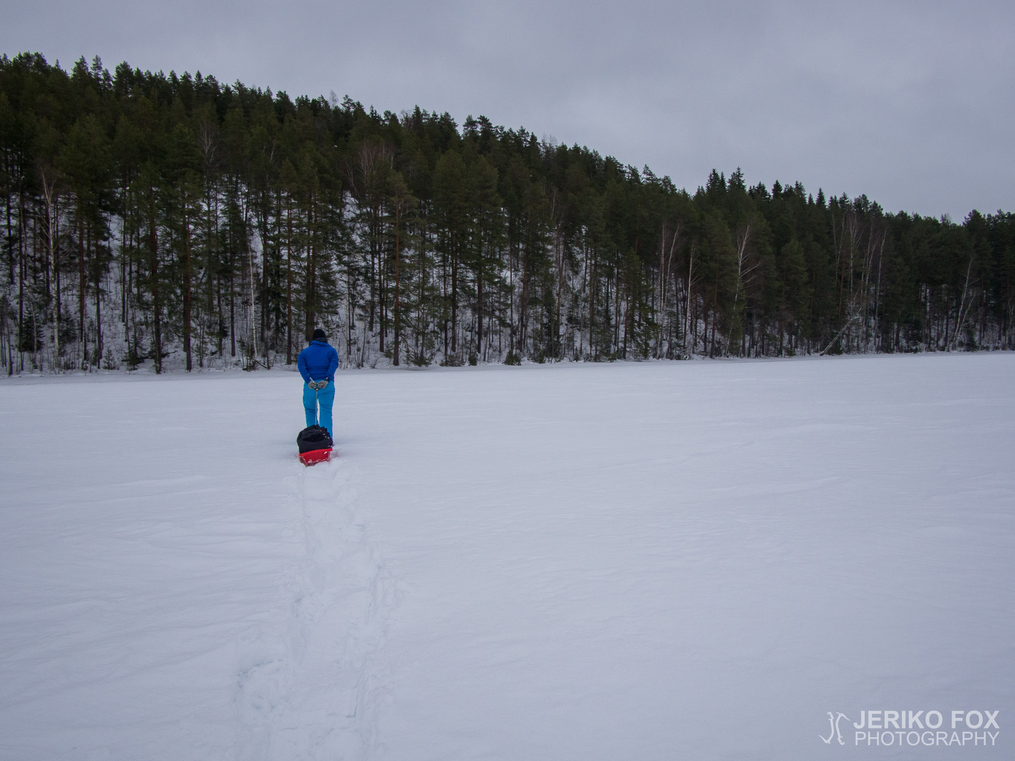
The big boys had told us last winter, that Laivonsaari island near Kuopio has a...
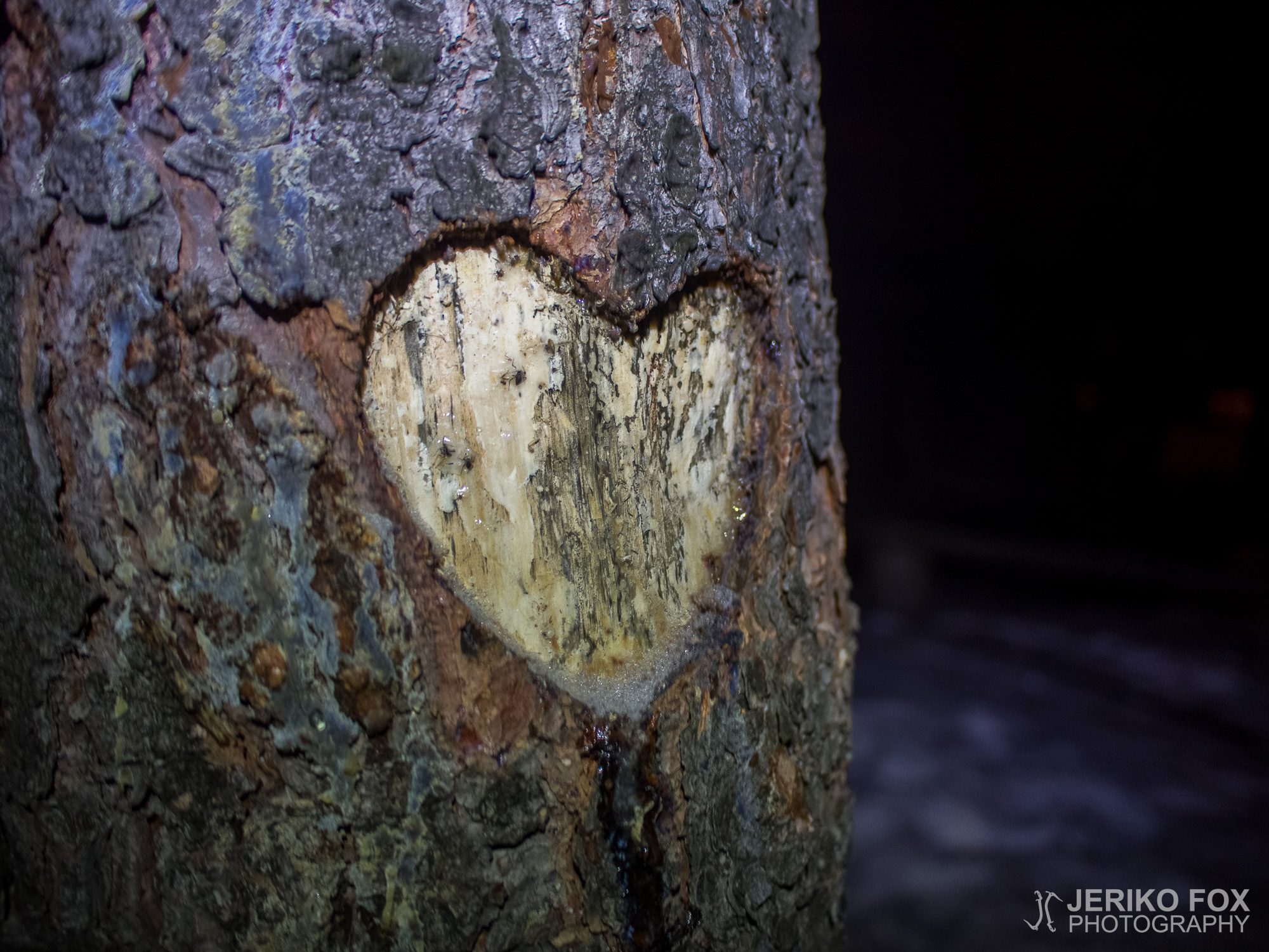
I have mentioned before that I tend to avoid lean-tos that are close to the...
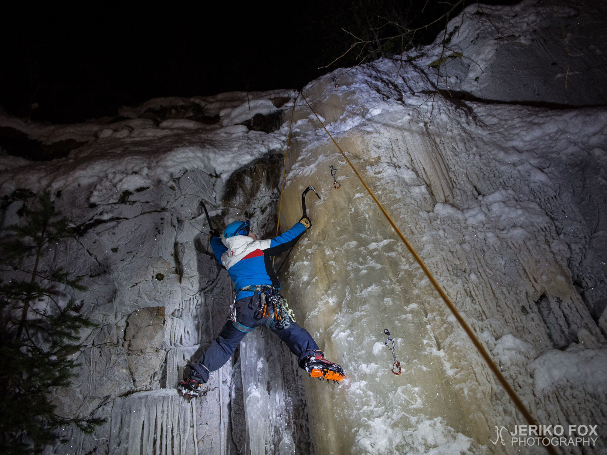
Me and Dima had been planning for a nocturnal ice climbing trip for a while....