
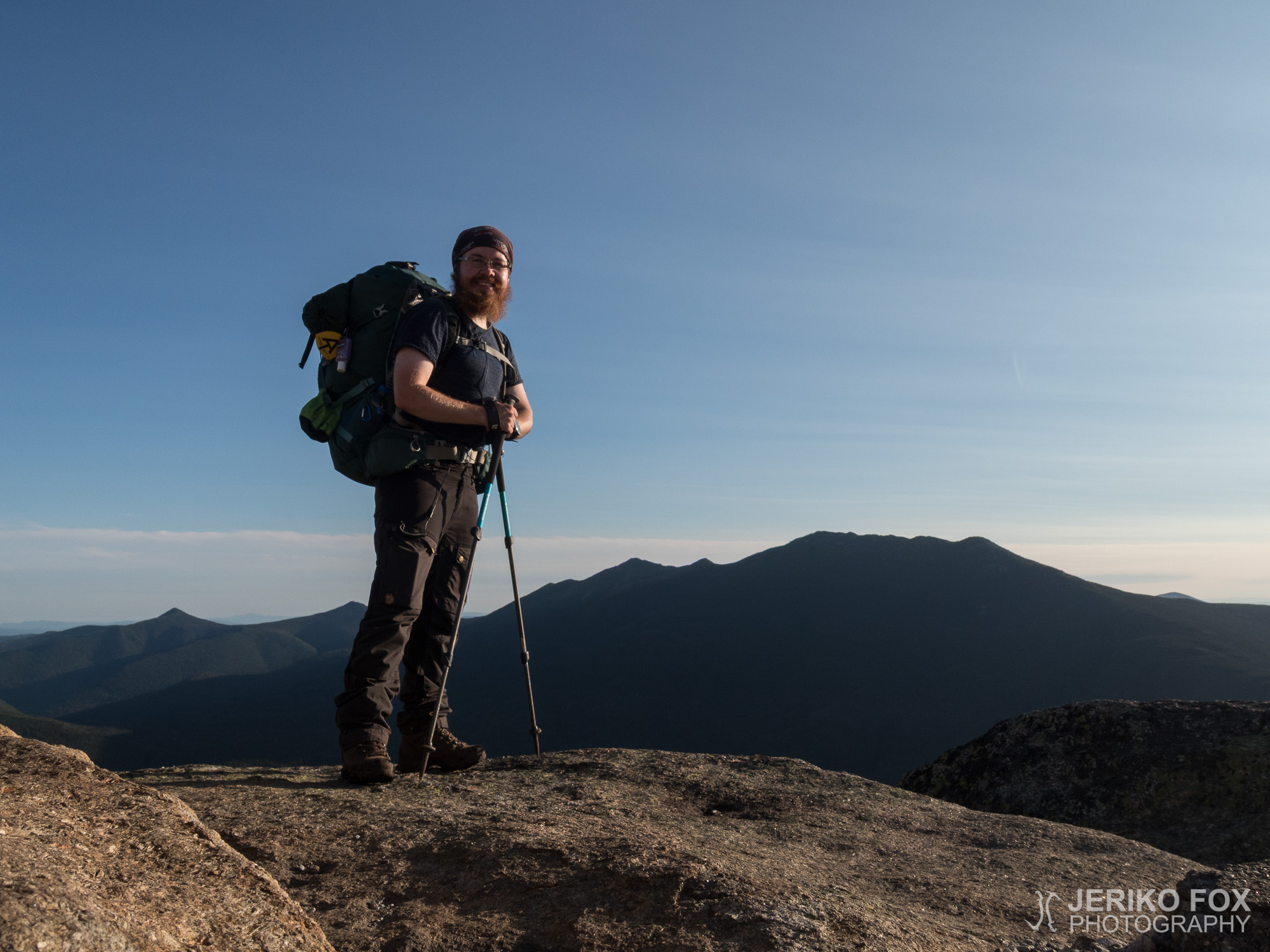
Day 169: Mount Jackson
15,69 km (9.7 miles) 1849.9 / 2189.8 miles Stealth campsite, NH The rain started in...
15,69 km (9.7 miles) 1849.9 / 2189.8 miles Stealth campsite, NH The rain started in...
17,39 km (10.8 miles) 1839.2 / 2189.8 miles Stealth campsite, NH The morning was chilly....
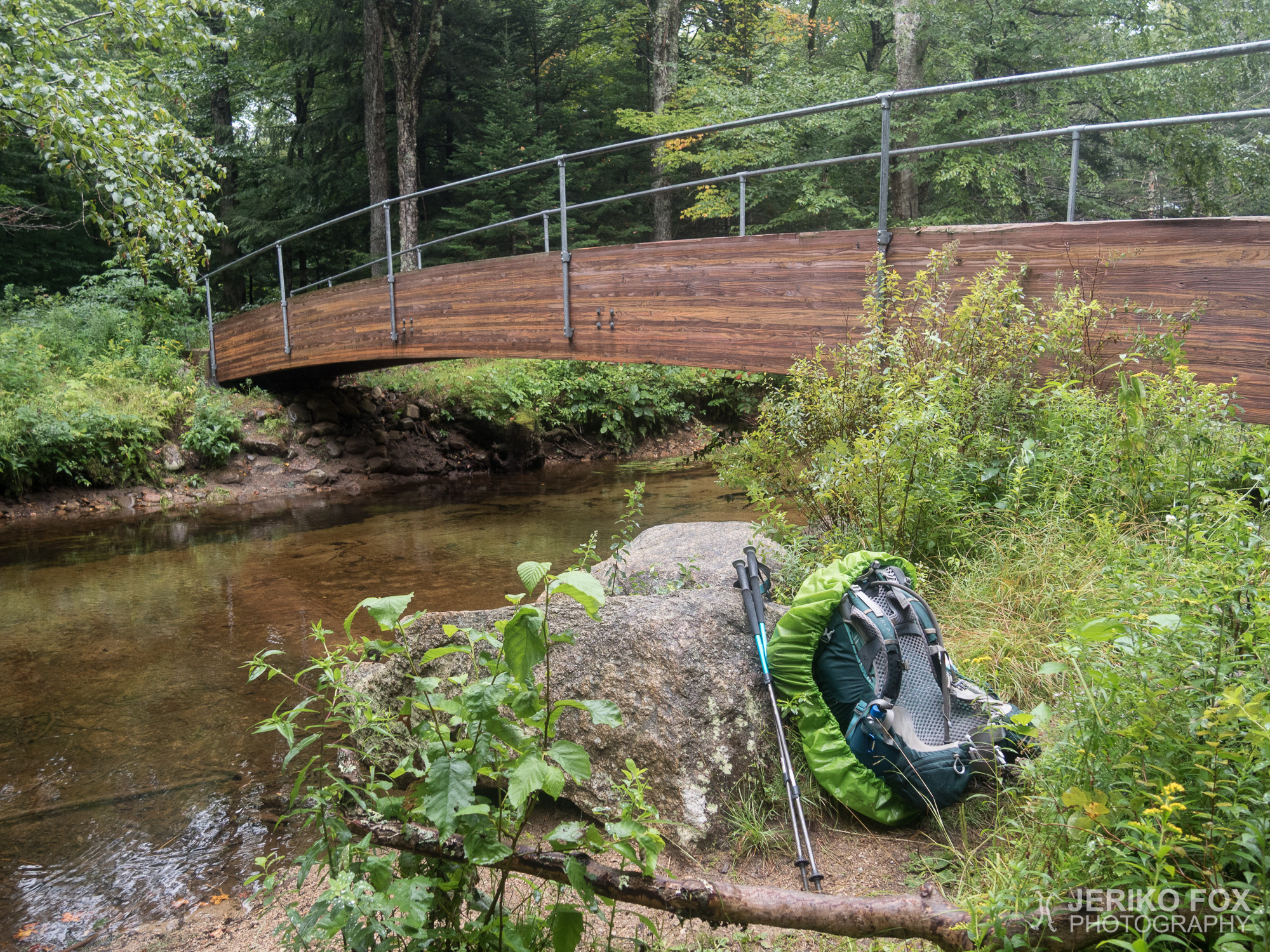
16,43 km (10.2 miles) 1827.2 / 2189.8 miles Stealth campsite, NH In the White Mountains...

10,64 km (6.6 miles) 1816.7 / 2189.8 miles The Notch Hostel, North Woodstock, NH I...

13,42 km (8.3 miles) 1810.7 / 2189.8 miles Stealth campsite, NH The Franconia Notch –...

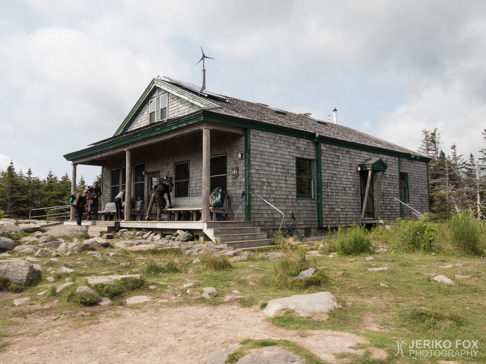
14,33 km (8.9 miles) 1801.1 / 2189.8 miles Stealth campsite, NH The White Mountains National...

17,90 km (11.1 miles) 1791.1 / 2189.8 miles Hikers Welcome Hostel, Glencliff, NH During the...