
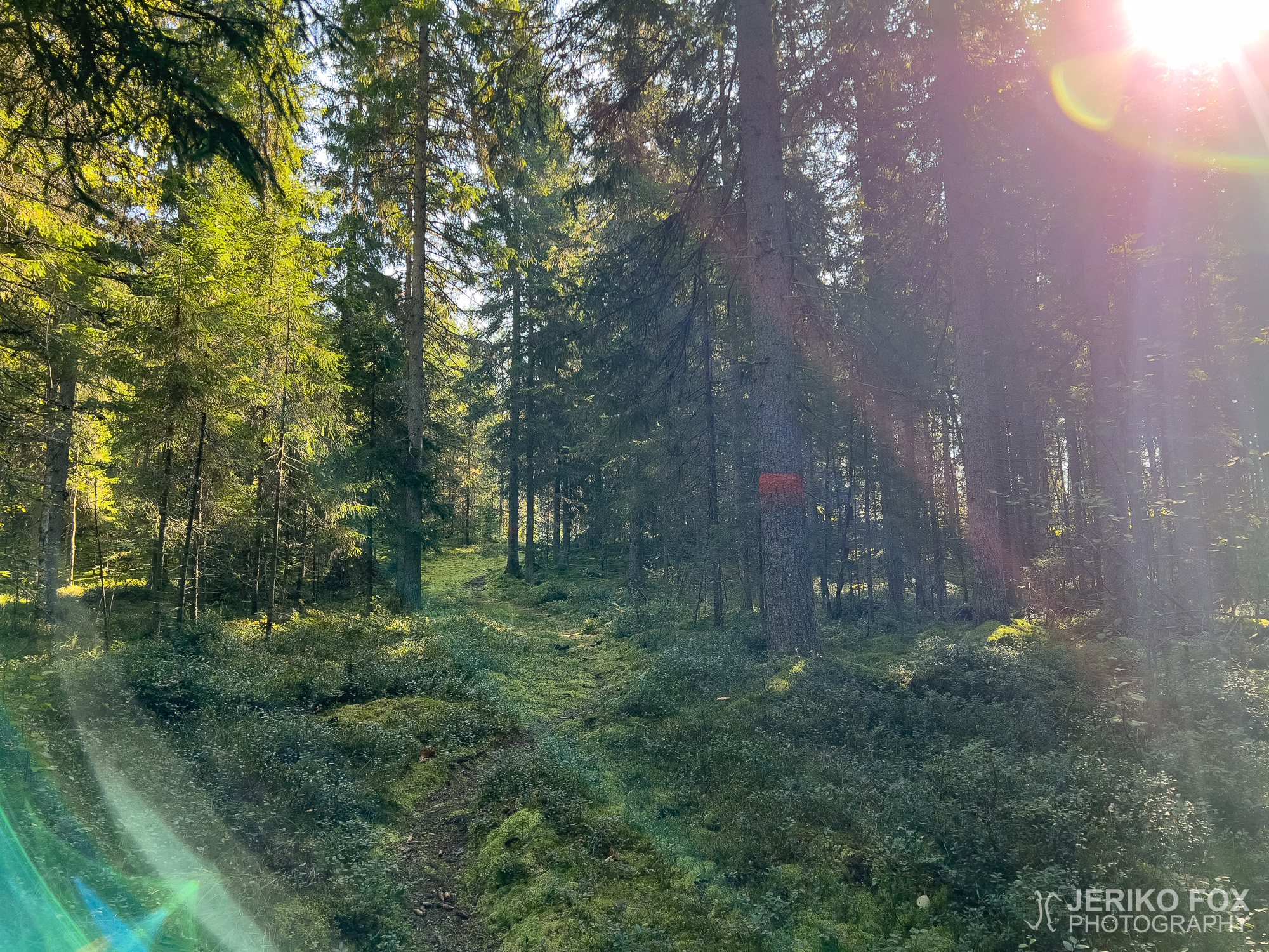
Kyynärpäänjoki Trail
While traveling to Parikkala, I had decided to tick off multiple trails at once since...
While traveling to Parikkala, I had decided to tick off multiple trails at once since...
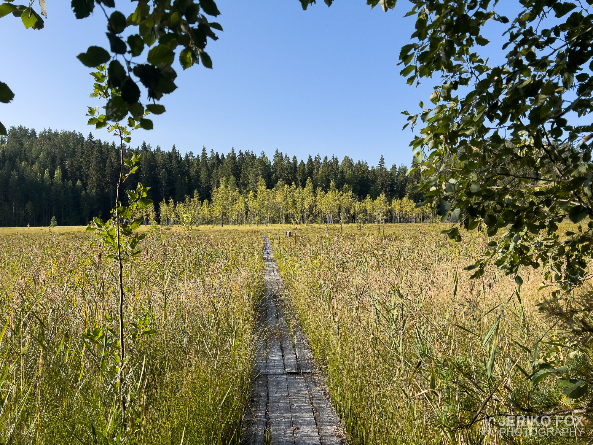
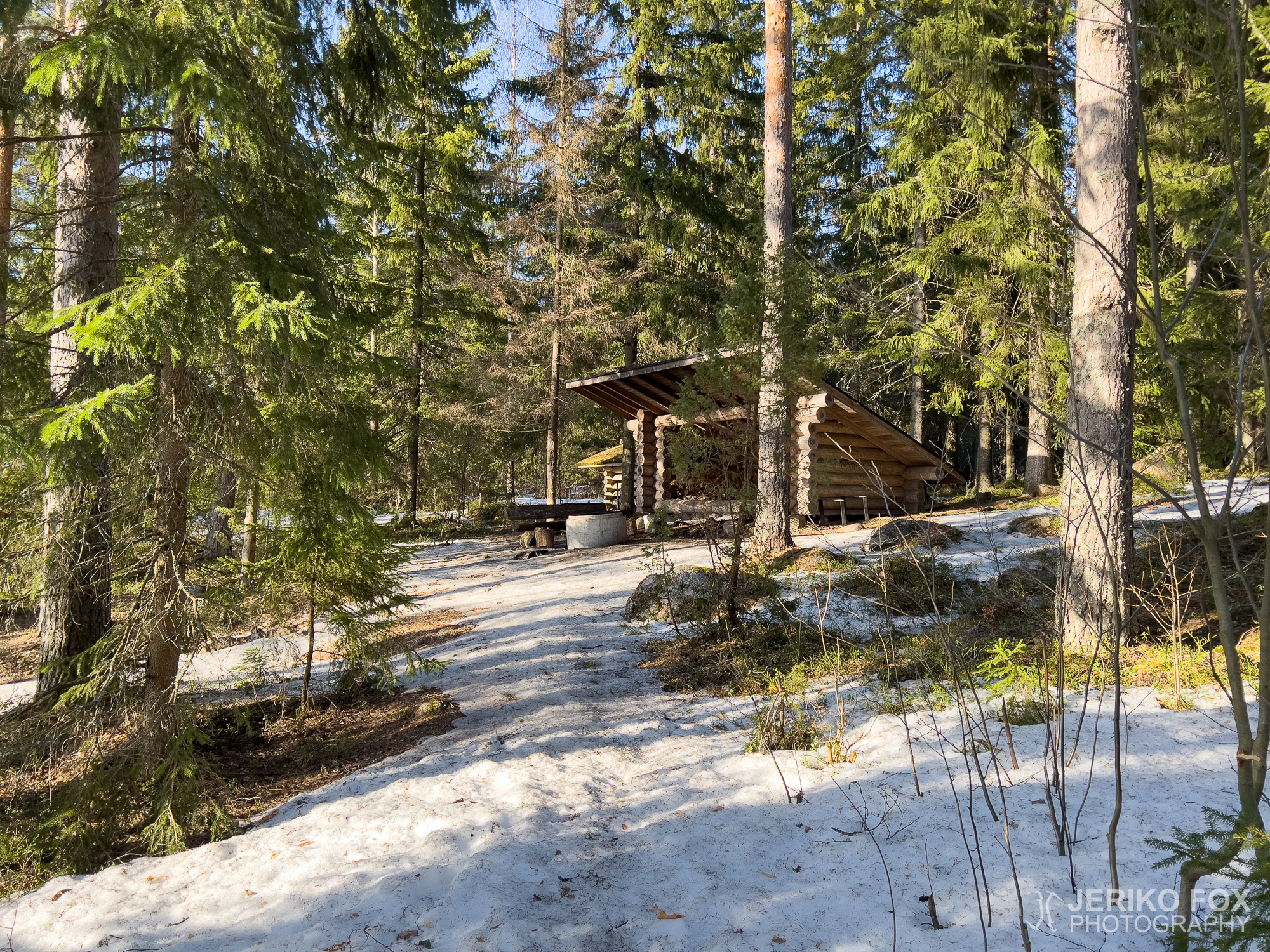
After hiking the Harjujen reitistö trail in Parikkala, I headed for an even more remote...
Parikkala is a small municipality of about 4 000 inhabitants, sitting right up against the...
Anyone looking for a short forest trail in South Karelia should head to Lemi. If...
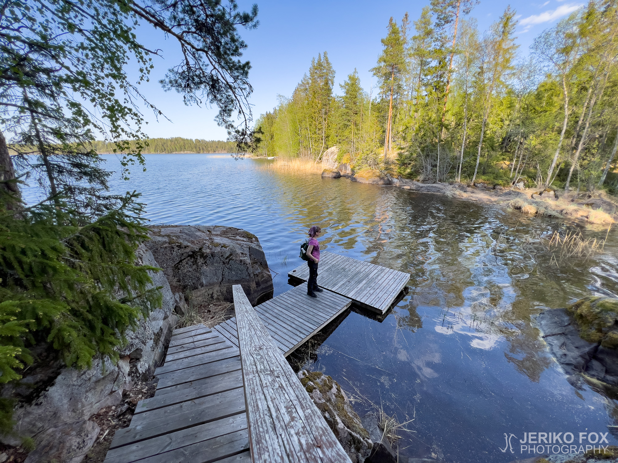
Pärsäniemi is located on the shore of Lake Kivijärvi, just north of Luumäki village. A...
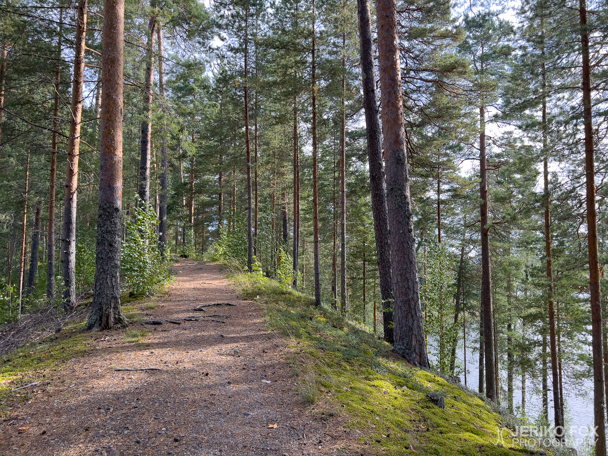
Naurissaari (lit. Turnip Island) is a small island in Lappeenranta, located off the shores of...
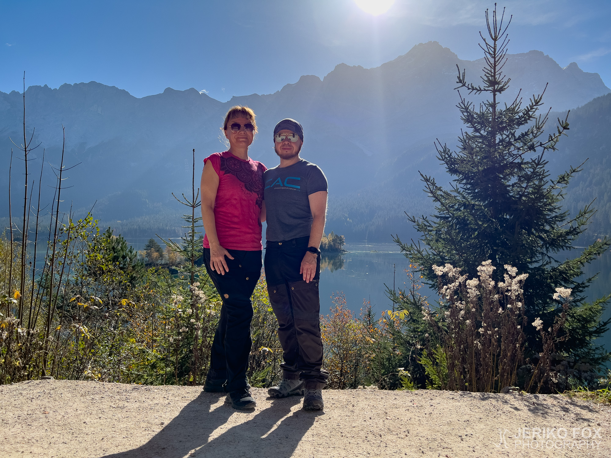
Germany’s highest mountain, Zugspitze, sits right on the border between Germany and Austria. I’ve climbed...