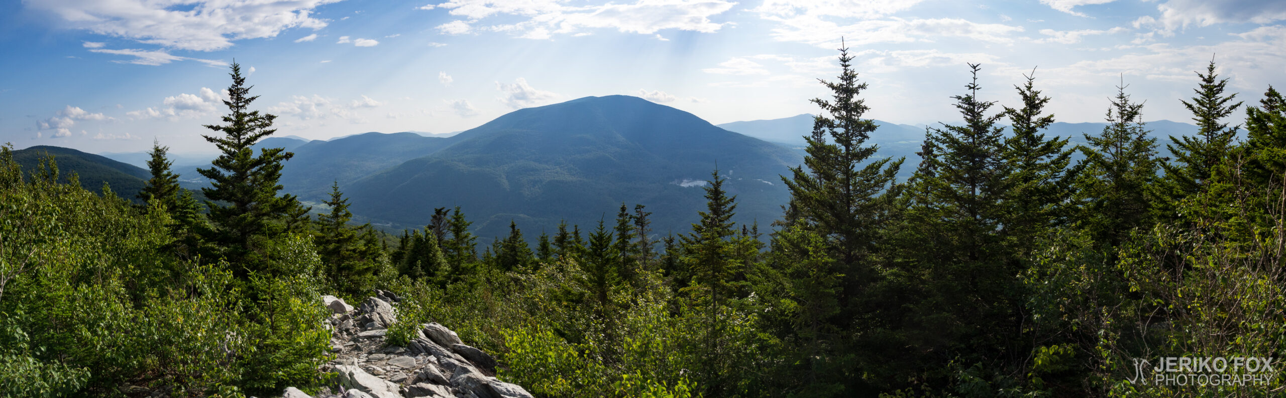
Day 151: Bromley Mountain

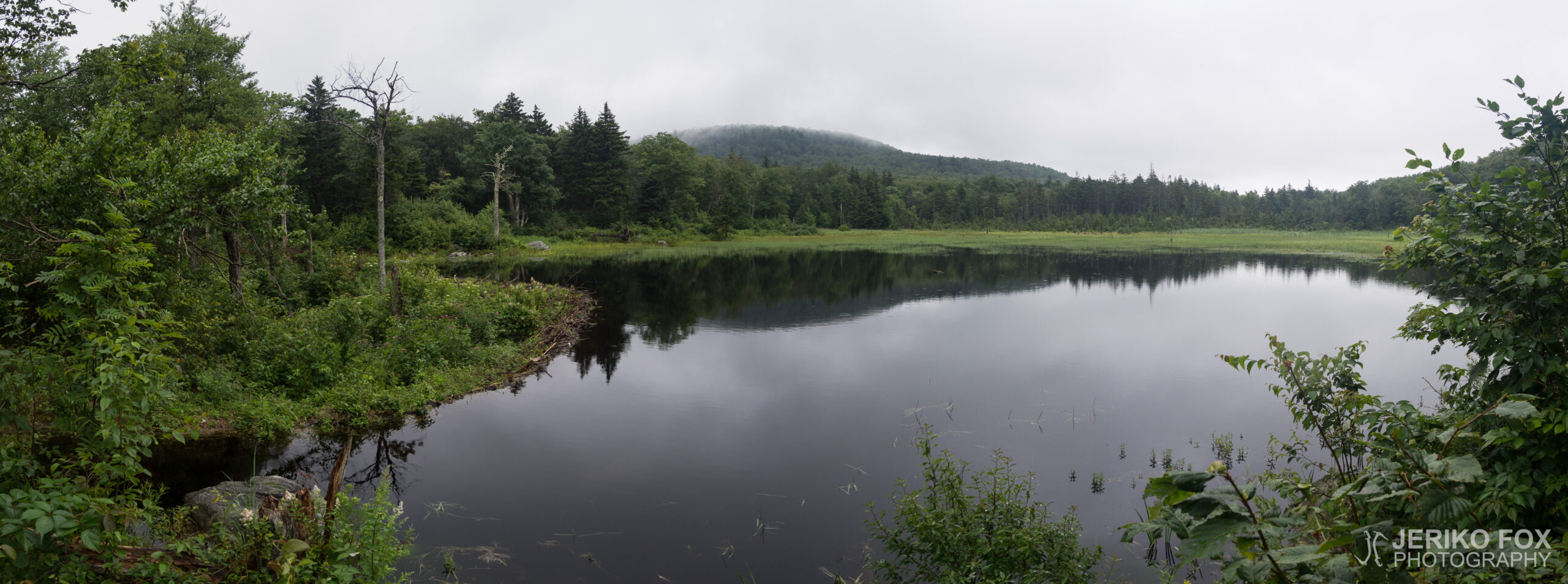
24,16 km (15 miles)
1667.1 / 2189.8 miles
Big Branch, VT

In the morning I woke up in no hurry at Green Mountain House. The previous evening I had booked myself on the later 9 AM ride to the AT, because there was no reason to torture myself by waking up for the earlier 7:30 AM ride. Yesterday I hadn’t met Delicate Flower in town, but he also came to the hostel for the night and in the morning we made pancakes together for breakfast.

Once I got on the AT first up was a climb to Bromley Mountain. There is a ski center on the mountain, and the last bit to the top was along a ski run. The ski hut at the top was available for sleeping the night, which would have been tempting as a place, but there were way too few miles. I was delighted to meet familiar folks though: Bottles and Seawolf had gotten to the summit just a bit earlier.

From Bromley Mountain I descended to Mad Tom Notch, after which was a climb to Styles Peak and Peru Peak. On the way I met more friends: Blue Ray and Wildflower with her dog May. I sat with them for a bit at the overlook on Styles Peak taking a break. It had been hot as I climbed, but there was a small breeze at the top. I enjoyed being there, and laid on a boulder perfectly shaped for my back, staring at the sky.

I had considered a 15 mile day, but the as the last portion was mainly downhill I thought I might get even further before dark. A single, short rain shower showed up in the afternoon. I was climbing up a small, steep-ish rockface, and of course the rain made the rocks a bit slippery. The rain stopped, however, just perfectly as I got to the overlook that opened from the rock.

I had heard some other hikers planning to spend the night at a campground along Big Branch River and it seemed fitting for my schedule, too. When I got to the suspension bridge crossing over Big Branch I noticed pool-like holes in the rocky riverbed, in which it was apparently possible to swim. I crossed the bridge to the campground and met Wildflower and Bottles again. After pitching my tent I stripped to my underwear and took a dip in the notch to swim. The water was cool but refreshing. As I came up from the water Blue Ray also showed up at the campground. All of us ate dinner at the fire Bottles set up, and as dusk settled I ducked into my tent with a book.

Total time: 01:58:29

Heräilin aamulla rauhassa Green Mountain Housessa. Olin illalla buukannut itseni myöhempään kello yhdeksän kyytiin AT:lle, koska ei ole mitään syytä kiduttaa itseään heräämällä tarpeeksi aikaisin ehtiäkseen 07:30 lähtevään kyytiin. En eilen tavannut Delicate Floweria kaupungissa, mutta hän tuli myös illalla hostellille ja aamulla paistoimme yhteistuumin pannukakkuja aamiaiseksi.

AT:lle päästyäni oli ensimmäisenä edessä nousu Bromley Mountainille. Vuorella on laskettelukeskus ja viimeinen pätkä huipulle kulki laskettelurinnettä pitkin. Huipulla olevassa suksivajassa saisi yöpyä, mikä olisi houkutellut paikkana, mutta maileja oli turhan vähän alla. Ilahduin kuitenkin tavatessani tuttuja: Bottles ja Seawolf olivat hieman aiemmin saapuneet huipulle.

Bromley Mountainilta laskeuduin Mad Tom Notchiin, jonka jälkeen oli edessä seuraava nousu Styles Peakille ja Peru Peakille. Matkalla ylös tapasin lisää kavereita: Blue Ray sekä Wild Flower koiransa Mayn kanssa. Istuin heidän kanssaan tovin Styles Peakin näköalapaikalla pitämässä taukoa. Sää oli ollut kuuma noustessa, mutta ylhäällä kävi pieni tuulenvire. Nautin olostani ja makasin juuri sopivasti selkäni muotoon sopivalla kalliolla katsellen taivasta.

Olin miettinyt noin 15 mailin päivää, mutta loppumatkan ollessa suurelta osin alamäkeä ajattelin pääseväni ehkä ennen hämärää pidemmällekin. Iltapäivällä tuli yksittäinen lyhyt sadekuuro. Olin nousemassa pientä jyrkänpuoleista kalliota ylös ja sade teki tietenkin kivistä vähän liukkaita. Kuitenkin sade loppui juuri sopivasti päästessäni kalliolta avautuvalle maisemapaikalle.

Olin kuullut muiden vaeltajien suunnittelevan yöpyvän telttapaikalla Big Branch -joen varrella ja se vaikutti sopivalta minunkin aikatauluuni. Tullessani Big Branchin ylittävälle riippusillalle huomasin kivikkoisessa joenuomassa olevan allasmaisia koloja, joissa voisi mahdollisesti uida. Kuljin sillan yli telttapaikalle ja tapasin taas Wild Flowerin ja Bottlesin. Pystytettyäni teltan riisuuduin alusvaatteisilleni ja pulahdin sillan alla olevaan koloon uimaan. Vesi oli viileää, mutta virkistävää. Tullessani ylös vedestä myös Blue Ray ilmestyi telttapaikalle. Söimme porukalla illallista Bottlesin virittämän nuotion äärellä ja hämärän tullessa pujahdin telttaan kirjani ääreen.

Day 150: Manchester Center

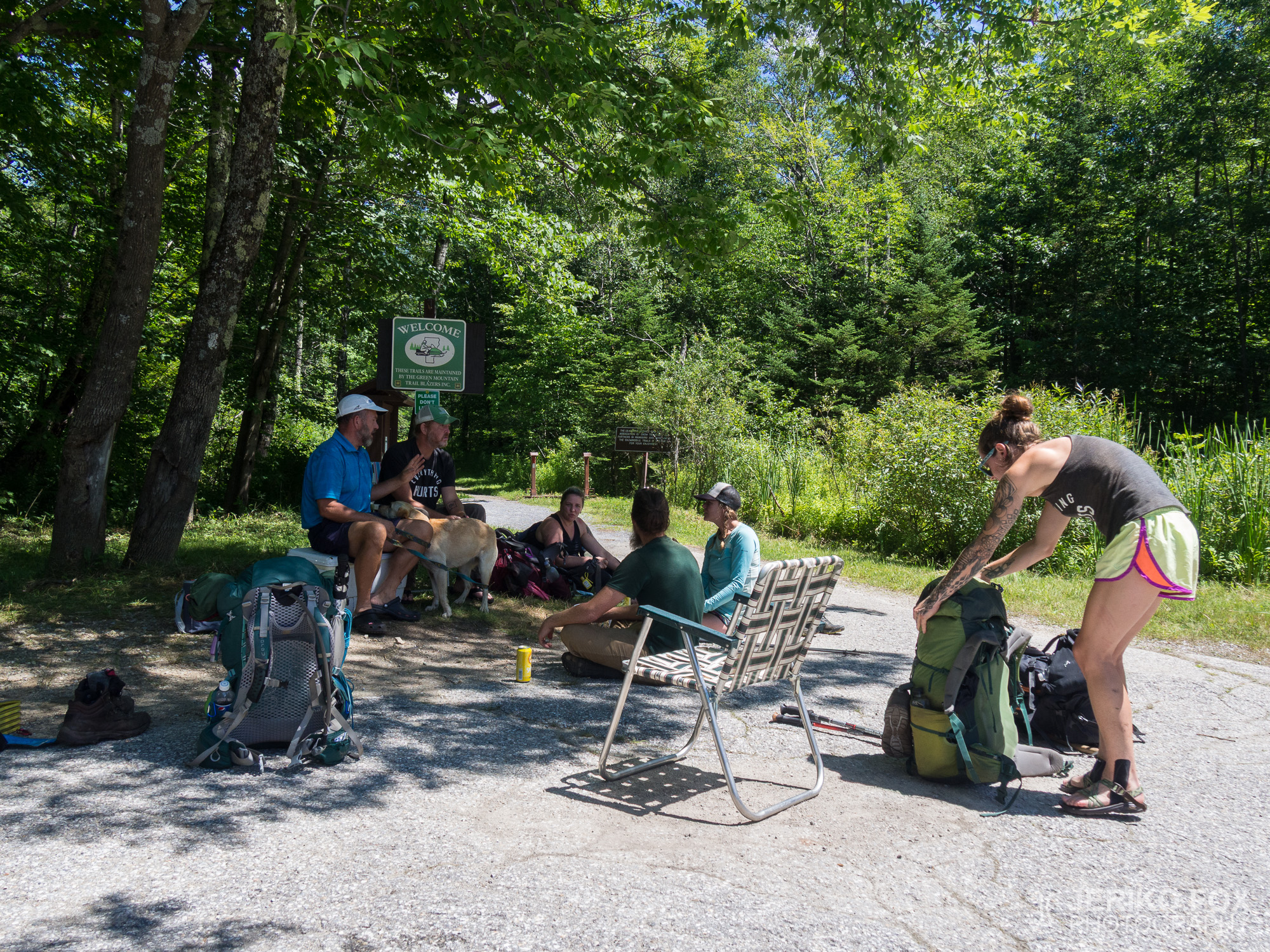
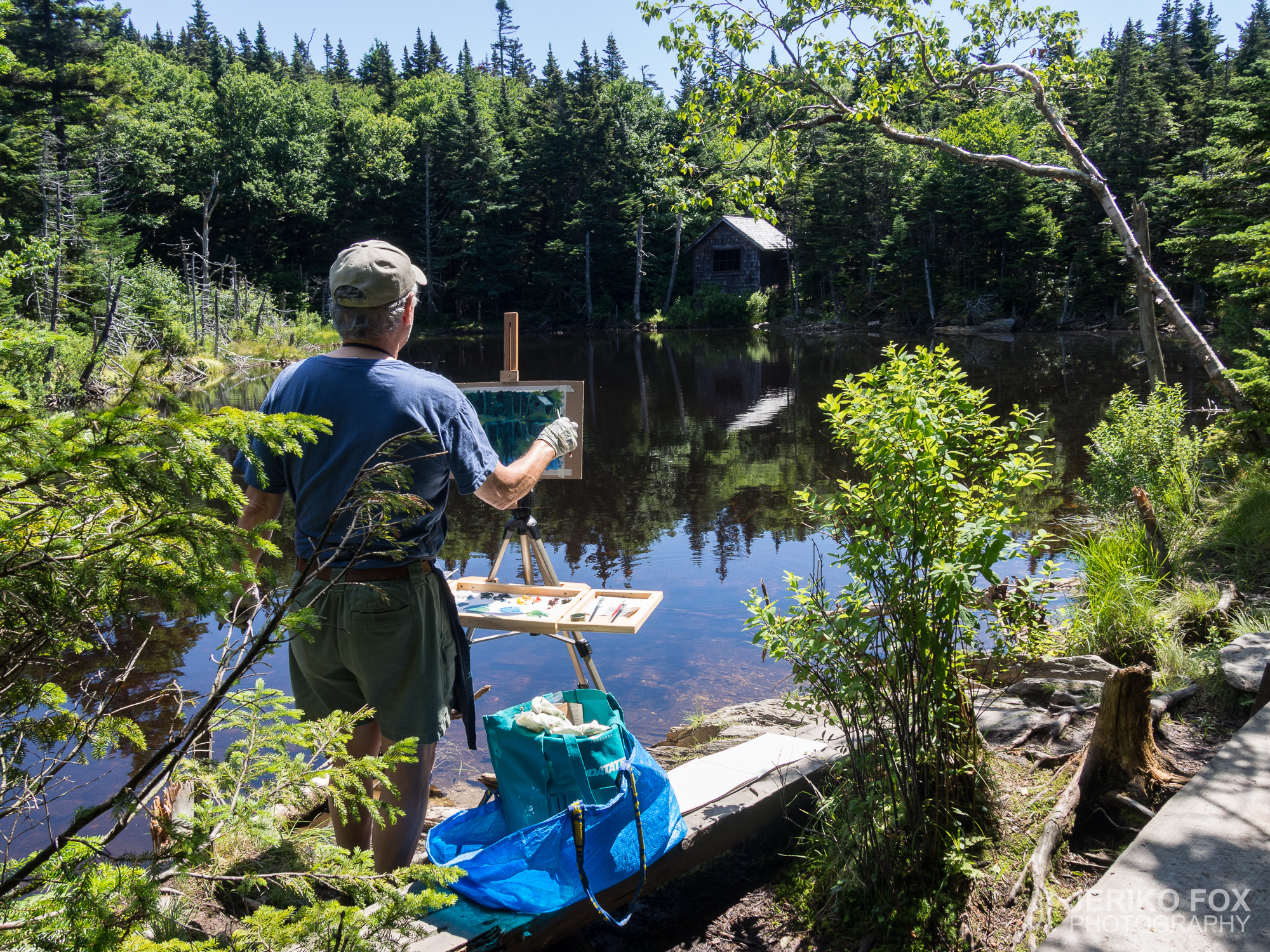
12,95 km (8 miles)
1650.7 / 2189.8 miles
Green Mountain House, Manchester Center, VT

The night had been cold again. I woke up peacefully and ate the remaining contents of my food sack for breakfast. I feel a special contentment when I get my food to run out conveniently before a city, because food carried into town is dead weight.

Like yesterday I continued down a gentle downward slope at a good clip. Actually a very brisk clip, because behind me were two Long Trail hikers who were yelling. I mean really yelling. Continuously. I pondered as I went, whether there were less of these yellers among AT hikers, or had those just dropped out in the beginning miles.

I made the eight plus mile distance to the intersection in about four hours. My intention had been to hitchhike to Manchester Center, but I saw a group of hikers in the parking lot. Blue Ray’s friend had come to do trail magic in the form of adult beverages. As I sat down for a beer I also learned that this friend had promised to take the hikers into town. As she left to take the last batch a familiar looking young woman came off the AT: Seawolf, whom I had last met in Shenandoah in Virginia.

Seawolf joined us for the last group to ride into town. She and I got out in the center of Manchester Center as the others continued further. We decided to go to lunch together and then go grocery shopping. It was nice to sit peacefully chatting in House of Pizza, and of course enjoying pizza and salad. We pondered the pros and cons of USA’s long hiking trails, the AT, the PCT, and the CDT.

After grocer shopping Seawolf stayed to pack her things and I called for a ride to Green Mountain House hostel. I had reserved a bunk a few days earlier and gotten directions to call when I was done with my city errands. The owner, Jeff, came to get me and after a short drive we arrived at a cozy looking house.

Jeff turned out the be very nice and his hostel clean and clearly organized. The affordable $35 price included accommodations, laundry, breakfast ingredients, and a ride back to the AT in the morning. I was happy about the peaceful atmosphere of the place and good WiFi. I didn’t have any particular expectations of Vermont, but this state has seems to have turned in a better direction.

Total time: 20:02:40

Yö oli ollut taas kylmä. Heräilin rauhassa ja söin aamupalaksi ruokasäkin sisällön viimeisiä rippeitä. Tunnen erityistä tyytyväisyyttä siitä, jos saan ruuan loppumaan juuri sopivasti ennen kaupunkia, koska kaupunkiin kannettu ruoka on kuollutta painoa.

Jatkoin elisen illan tapaan loivaa alamäkeä reippaaseen vauhtiin. Itseasiassa erityisen reippaaseen, koska takanani oli kaksi Long Trailin vaeltajaa, jotka huusivat. Aivan todella huusivat. Jatkuvasti. Pohdin mennessäni, että onko AT:n vaeltajissa vähemmän näitä huutajia vai ovatko he vain pudonneet pois jo alkumatkasta.

Tulin reilun kahdeksan mailin matkan tienristeykseen noin neljässä tunnissa. Tarkoitukseni oli liftata Manchester Centeriin, mutta näinkin parkkipaikalla joukon vaeltajia. Blue Rayn ystävä oli tullut tekemään trail magicia aikuisten juomien muodossa. Istuessani oluen ääreen sain tietää tämän ystävän myös luvanneen kyyditä vaeltajat kaupunkiin. Hänen lähtiessä viemään ensimmäistä satsia ilmestyi AT:lta tutun näköinen nuori nainen: Seawolf, jonka olin tavannut viimeeksi Shenandoahissa Virginiassa.

Seawolf liittyi mukaamme toiseen autolastilliseen. Jäin hänen kanssaan Manchester Centerin keskustaan muiden jatkaessa pidemmälle. Päätimme mennä yhdessä lounaalle ja sitten tekemään ruokaostokset. Oli mukava istua kaikessa rauhassa keskustelemassa House of Pizzassa ja nauttia tietenkin samalla pizzaa sekä salaattia. Pohdimme yhdessä USA:n pitkien vaellusreittien AT:n, PCT:n ja CDT:n hyviä ja huonoja puolia.

Ruokaostosten jälkeen Seawolf jäi pakkaamaan tavaroitaan ja minä soitin kyydin Green Mountain House -hostellille. Olin varannut punkkapaikan muutamaa päivää aiemmin ja saanut ohjeeksi soittaa, kun olisin hoitanut kaupunkiasiat. Omistaja, Jeff, tuli hakemaan minut ja lyhyen ajomatkan jälkeen tulimme viihtyisän näköisen talon luokse.

Jeff osoittautui erittäin mukavaksi ja hänen hostellinsa siistiksi sekä selkeästi organisoiduksi. Edulliseen $35 hintaan kuului yöpymisen lisäksi pyykinpesu, aamupalatarpeet ja aamulla kyyti takaisin AT:lle. Olin onnellinen paikan rauhallisesta ilmapiiristä sekä hyvästä wifistä. Minulla ei ollut mitään erityisiä odotuksia Vermontista, mutta tämä osavaltio on alkanut tuntua jonkinlaiselta käännökseltä parempaan suuntaan.

Day 149: Stratton Mountain

24,72 km (15.4 miles)
1642.0 / 2189.8 miles
Stealth campsite, VT

I slept the night in random spurts. The temperature was the coldest since early spring and the weather was windy. I was too tired to get up to dig for extra clothes in my pack, so I shivered as the wind blew into the shelter. I cursed my decision to sleep in the shelter during the long hours of the night. In the tent I would have been better protected from the wind, and my clothing sack would always be within arm’s reach.

In the morning however the objective of sleeping in the shelter was achieved, which was to wake up early when everyone else started making noise. It was still cold and as my first order of business I pulled on my beanie and down coat. As I started hiking before eight I left these on and my long underwear under my pants. I figured I would have to take them off soon, but rather that than starting off shivering. I hadn’t made it a kilometer when I already started sweating and I stopped to pack the extra clothes in my pack.

The morning went mostly hiking downhill. The route was muddy in many places though, or covered in roots, so a fast pace wasn’t possible. While the weather was drier, the mud wasn’t so much wet as sticking to my shoes suction-cup-like.

After crossing over the Deerfield River I came to a parking lot from which started the climb toward Stratton Mountain. My plan for about a 15-mile day was just about half way, so I felt it was a good time for lunch. I could also get some extra energy for the climb.

The climb to Stratton Mountain was long, but not as steep as I had expected. The trail was in good condition and there were plenty of day and weekend hikers afoot as I had expected. The slightly overcast and cool weather also helped significantly with the climb.

A little before the peak I heard someone come up behind me and moved aside to make room to pass. As I turned to look downhill I saw the passer was Delicate Flower, a hiker with whom I had shared a room at Vanessa’s in Salisbury. We ended up walking up together and chatting about the last few days.

On the summit of Stratton Mountain is a small caretaker hut and a fire tower. I climbed up to enjoy the view of course. The 360° view was one of the most scenic so far. Below I saw lakes, and ski runs on the surrounding mountains.

The forest was the same kind of beautiful fir forest as in the Great Smoky Mountains National Park, but as I went downhill it changed to deciduous again. In any case the flora feels like it’s slowly changing more typical to northern forests.

I had planned to hike at least until Stratton Pond Shelter. I had come down from the mountain by five though, so I thought I could easily continue at least a little further. Especially when that particular shelter was one with a fee, and there would likely be a lot of weekend traffic.

As I walked down the nice downhill I stopped at a small stream to get water. That’s when Delicate Flower caught up with me again. We decided to exchange phone numbers, because we were heading to the same hostel tomorrow. That meant we could go eat together once we got into town.

I found a nice camping spot for myself along Winhall River. As I set my pack down I had a comprehensive good feeling. I had gotten in 17 miles, I could camp alone in peace, and tomorrow would be a short hike into town. Additionally my final destination in Maine was slowly starting to seem real.

Total time: 02:57:18

Nukuin yön epämääräisissä pätkissä. Lämpötila oli kylmin sitten alkukevään ja sää oli tuulinen. En jaksanut nousta repulleni etsimään lisävaatteita, joten palelin, kun shelteriin tuuli sisään. Kirosin yön pitkinä tunteina päätöstäni nukkua shelterissä. Teltassa olisin ollut paremmin tuulelta suojassa ja vaatesäkkikin oli aina käden ulottuvilla.

Aamulla kuitenkin toteutui se shelterissä nukkumiseni tavoite eli heräsin aikaisin muiden alkaessa kolistelemaan. Ilma oli yhä kylmä ja vedin ensitöikseni pipon päähän ja untuvatakin päälle. Lähtiessäni vaeltamaan ennen kahdeksaa jätin nämä vaatteet päälleni sekä pitkät kalsarit vaellushousujen alle. Arvasin joutuvani riisumaan ylimääräiset vaatteet pian, mutta mielummin niin kuin päivän aloitus palellen. En ollut päässyt kilometriäkään, kun alkoi jo tulla hiki ja pysähdyin pakkaamaan ylimääräiset vaatteet takaisin reppuun.

Aamupäivä kului suurimmalta osin alamäkeen kävellen. Tosin reitti oli monin paikoin mutainen tai sitten juurien peitossa niin, ettei kovin nopea eteneminen onnistunut. Kelin ollessa kuivempi ei muta ollut niinkään märkää vaan enemmänkin imukuppimaisesti kenkään tarttuvaa.

Ylitettyäni Deerfield-joen tulin parkkipaikalle, josta alkoi nousu kohti Stratton Mountainia. Suunnittelemani noin 15 mailin päivä oli jotakuinkin puolivälissä ja kello hieman yli puolenpäivän, joten ajattelin olevan hyvä aika lounastauolle. Saisin myös hieman lisäenergiaa ylämäkeen.

Nousu Stratton Mountainille oli pitkä, mutta ei niin jyrkkä kuin olin odottanut. Polku oli hyvässä kunnossa ja liikkeellä oli odotusteni mukaisesti paljon päivä- ja viilonloppuvaeltajia. Hieman pilvinen ja viileä sää auttoi myös huomattavasti nousussa.

Vähän ennen huippua kuulin jonkun tulevan takaani ja siirryin sivuun päästääkseni tulijan ohi. Kääntyessäni katsomaan alamäkeen huomasin ohittajan olevan Delicate Flower, vaeltaja, jonka kanssa olin jakanut huoneen Vanessalla Salisburyssa. Päädyimmekin kävelemään ylös yhdessä samalla jutustellen viimepäivien kuulumisia.

Stratton Mountainin huipulla on pieni caretakerin maja sekä palotorni. Kiipesin tietenkin ylös ihailemaan maisemia. Ympärillä avautuva 360° näköala oli yksi näyttävimpiä. Alhaalla näkyi järviä ja vuorten rinteillä laskettelukeskuksia.

Metsä oli samantyyppistä kaunista havumetsää kuin Great Smoky Mountainsin kansallispuistossa, mutta alaspäin mennessä muuttui taas lehtimetsäksi. Joka tapauksessa kasvisto tuntuu hiljalleen muuttuvan enemmän pohjoisille alueille tyypilliseksi.

Olin ajatellut vaeltavani ainakin Stratton Pond Shelterille asti. Olin kuitenkin laskeutunut vuorelta jo viideltä, joten ajattelin aivan hyvin voivani jatkaa vielä hieman pidemmälle. Etenkin kun kyseinen shelter oli poikkeuksellisesti maksullinen ja siellä olisi todennäköisesti paljon viikonloppuporukkaa.

Kävellessäni mukavaa alamäkeä eteenpäin pysähdyin pienen puron kohdalle ottamaan vettä. Silloin Delicate Flower saavutti taas minut. Päätimme vaihtaa puhelinnumeroita, koska olimme huomenna suuntaamassa samaan hostelliin. Voisimme siis käydä yhdessä syömässä päästyämme kaupunkiin.

Löysin itselleni mukavan telttapaikan Winhall-joen vierestä. Laskiessani repun maahan minulla oli jotenkin kokonaisvaltaisen hyvä olo. Olin saanut 17 mailia kasaan, voisin telttailla omassa rauhassa ja huomenna olisi lyhyt vaelluspäivä kaupunkiin. Lisäksi lopullinen päämääräni Mainessa alkaa pikkuhiljaa tuntua todelliselta.

Day 148: Glastenbury Mountain

18,58 km (11.5 miles)
1626.0 / 2189.8 miles
Kid Gore Shelter, VT

There are mornings when the bed feels so temptingly warm and wonderfully soft, that one doesn’t want to let go of the feeling. And even if one isn’t in a bed but on an air mattress in a sleeping bag, one can find himself in the same situation. What to do then? Well, I’ll tell you: roll over and continue sleeping.

In other words I peacefully slept until a little after eight. I had calculated my food to last until Manchester Center, and it was about 38 miles away, which would take three days in any format. This meant I could do about 13 miles to the shelter today, which would be a light day.

My shoes and socks were still wet from the previous day. Wet and cold. As I pulled my socks on I relived the memories from spring and pondered whether it would be like this from now on again.

I set off to hike after ten. I had prepared to wade over Hell Hollow Brook because I had seen an announcement yesterday about a washed away bridge. There was so little water though, that the river was easily crossed on rocks. The terrain was muddy like yesterday, but the ups and downs were moderate.

I stopped for lunch at Goddard Shelter and was surprised to meet Bottles there. I had thought she was far ahead of me, so I was delighted at the meeting. Shortly above the shelter was Glastenbury Mountain’s peak and a fire tower. In the middle of the pine forest overlooks weren’t plentiful, but the tower offered a gorgeous view in every direction.

I rolled to Kid Gore Shelter at a steady pace, and decided to sleep in the shelter for a change instead of my tent. The decision wasn’t necessarily a good one, because a tent offers a better opportunity for personal space. Now that the shelter houses NOBOs, SOBOs, as well as Long Trail hikers, there is starting to be more noise and crowds than I care for.

Total time: 00:02:00

On aamuja, jolloin sänky tuntuu niin houkuttelevan lämpimältä ja ihanan pehmeältä, ettei tuntemuksesta halua päästää irti. Ja vaikka ei olisikaan sängyssä vaan ilmapatjalla makuupussissaan, voi löytää itsensä samasta tunnetilasta. Mitä silloin tehdään? Minäpä kerron: käännetään kylkeä ja jatketaan unia.

Nukuin siis kaikessa rauhassa aamulla hieman yli kahdeksaan. Olin laskenut ruokani riittävän Manchester Centeriin asti ja sinne olisi noin 38 mailia, mikä veisi joka tapauksessa kolme päivää. Siten voisin tehdä tänään noin 13 mailia shelterille, mikä olisi kevyt päivä.

Kengät ja sukat olivat yhä märät eiliseltä. Märät ja kylmät. Vetäessäni sukkia jalkaan koin hyvin elävän muiston alkukeväältä ja mietin, että tätäkö tämä nyt taas on tästä eteenpäin.

Lähdin vaeltamaan kymmenen jälkeen. Olin varautunut kahlaamaan Hell Hollow Brookin yli, koska olin nähnyt eilen ilmoituksen pois huuhtoutuneesta sillasta. Vettä oli kuitenkin sen verran vähän, että joen saattoi helposti ylittää kiviä pitkin. Maasto oli eilisen tapaan mutaista, mutta nousut ja laskut maltillisia.

Pysähdyin Goddard Shelterille lounaalle ja yllätyin kohdatessani siellä Bottlesin. Oletin hänen olleen jo pitkällä edelläni, joten ilahduin jälleennäkemisestä. Pian shelterin yläpuolella oli Glastenbury Mountainin huippu ja palotorni. Havumetsän keskeltä ei ollut juuri tarjoutunut näköaloja, mutta tästä tornista avautui viimein upea maisema joka suuntaan.

Rullasin tasaista tahtia alamäkeen Kid Gore Shelterille ja päätin poikkeuksellisesti yöpyä shelterissä telttani sijaan. Päätös ei välttämättä ollut hyvä, koska teltta tarjoaa paremmin omaa rauhaa. Nyt kun sheltereillä yöpyy niin NOBOt, SOBOt kuin Long Trailin vaeltajat, alkaa tungosta ja meteliä olla taas enemmän kuin välittäisin.

Day 147: Split Rock

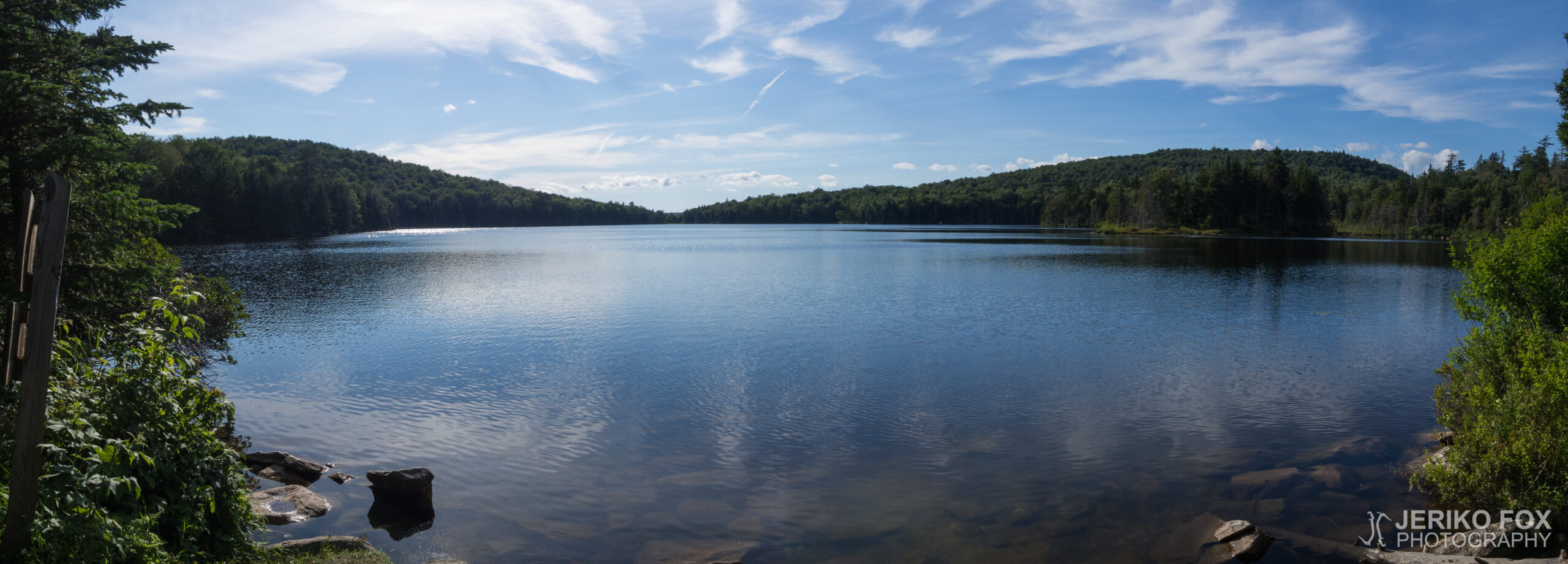
22,35 km (13.9 miles)
1612.2 / 2189.8 miles
Melville Nauheim Shelter, VT

I slept longer in the morning than I had thought to, but on the other hand I was satisfied with a good night’s sleep. The night was warmer than the previous, but I had still put on socks, and long underwear, which was not too much at all.

I had just gotten my things packed, when I started to hear smattering of rain. I stood a moment listening whether the rain would increase, but it didn’t seem to come through the leaf cover. I put the rain cover on my pack anyway, but didn’t set up the umbrella yet.

The hikers have nicknamed the state of Vermont as Vermud. This turned out to be especially accurate, because the AT was very muddy in many places. I liked muddy better than rocky though, because despite its wetness muddy terrain is soft underfoot.

The rain increased throughout the morning and eventually I put my rain kilt on, and set up the umbrella on my pack. This prompted a lot of wonder and interest in many of the SOBOs that crossed paths with me. Many said they had never seen a hiking umbrella. This surprised me as many NOBOs had an umbrella.

The terrain wasn’t hard, but some of the muddier sections slowed me down a little. My shoes were soaked through and my pant legs were caked with mud. I had lunch at Congdon Shelter with a goal to make it to the next shelter before dark.

The decent from Harmon Hill in the evening toward the intersection toward Bennington was steep. Along the long way down were high rocky steps that had to be navigated carefully because of the slipperiness. My soles also didn’t like coming down in the rock. After getting to the bottom of the gully I was faced with an equally steep ascent. I was already quite tired, and the evening was starting to get dark as I scrambled up the hill. In the foggy woods it would get dark momentarily, and then the sun’s last rays would paint the fog gold. On the way there would have been a couple of really good spots to camp, where I might have stayed if I didn’t have to make it to the shelter in order to get water.

I was relieved when I came to a stream around eight, near which was the shelter. I had hiked for ten hours, which isn’t an exception, but I was tired. As it got dark I pitched my tent behind the shelter and was happy as I assembled my go-to dinner, a tuna tortilla.

Total time: 01:58:59

Nukuin aamulla pidempään kuin olin ajatellut, mutta toisaalta olin tyytyväinen hyviin yöuniin. Yö oli edellistä lämpimämpi, mutta olin silti pukenut sukat ja pitkät kalsarit, mikä ei ollut yhtään liikaa.

Olin juuri saanut tavarani pakattua, kun alkoi kuulua sateen ropinaa. Seison hetken kuulostelemassa kovenisiko sade, mutta sitä ei tuntunut tulevan lehtien läpi. Laitoin sadesuojan repun päälle, mutta en virittänyt vielä sateenvarjoa.

Vaeltajat ovat antaneet Vermontin osavaltiolle lempinimeksi Vermud eli Vermuta. Tämä osoittautui paikkaansa pitäväksi, koska AT oli monin paikoin todella mutainen. Pidin kuitenkin enemmän mudasta kuin kivikosta, koska mutainen maasto oli kosteudestaan huolimatta pehmeää jalan alla.

Sade yltyi aamupäivän aikana ja ennen pitkää laitoin sadehameen päälleni ja viritin sateenvarjon reppuuni. Tämä herätti suurta ihmetystä ja kiinnostusta useissa vastaantulevissa etelään suuntaavissa vaeltajissa, SOBOissa. Moni sanoi, ettei ollut aiemmin nähnyt vaellussateenvarjoa. Olin tästä yllättynyt, koska aika monilla meillä pohjoiseen suuntaavilla, NOBOilla, on sateenvarjo.

Maasto ei ollut vaikeaa, mutta jotkut mutaisimmat kohdat hieman hidastivat vauhtia. Kengät olivat kastuneet läpi ja housunlahkeet olivat mutakerroksen peittämät. Pidin lounastauon Congdon Shelterillä tavoitteenani ehtiä ennen pimeää vielä seuraavalle shelterille.

Laskeutuminen illalla Harmon Hilliltä kohti Benningtonia vievää tienristeystä oli jyrkkä. Pitkällä matkalla oli korkeita kivisiä askelmia, joilla täytyi liikkua varoen liukkauden takia. Jalkapohjat eivät myöskään oikein pitäneet kovassa kivikossa laskeutumisesta. Jontkan pohjalle päästyä edessä oli tietenkin vastaava jyrkkä nousu ylös. Olin jo aika väsynyt ja ilta alkoi hämärtyä könytessäni mäkeä ylös. Sumuisessa metsässä tuli hetkittäin pimeää ja hetkittäin auringon viimeiset säteet muuttivat usvan kullankeltaiseksi. Matkalla oli parikin todella hyvää telttapaikkaa, jonne olisin saattanut jäädä ellei minun olisi veden takia tarvinnut jatkaa shelterille asti.

Olin helpottunut tullessani kahdeksan aikaan purolle, jonka lähellä shelter oli. Olin vaeltanut kymmenen tuntia, mikä ei ole poikkeuksellista, mutta olin väsynyt. Pimeän tullessa pystytin teltan shelterin taakse ja olin onnellinen kasatessani vakioillalliseni, tonnikalatortillan.