
8,15 km (5.06 miles)
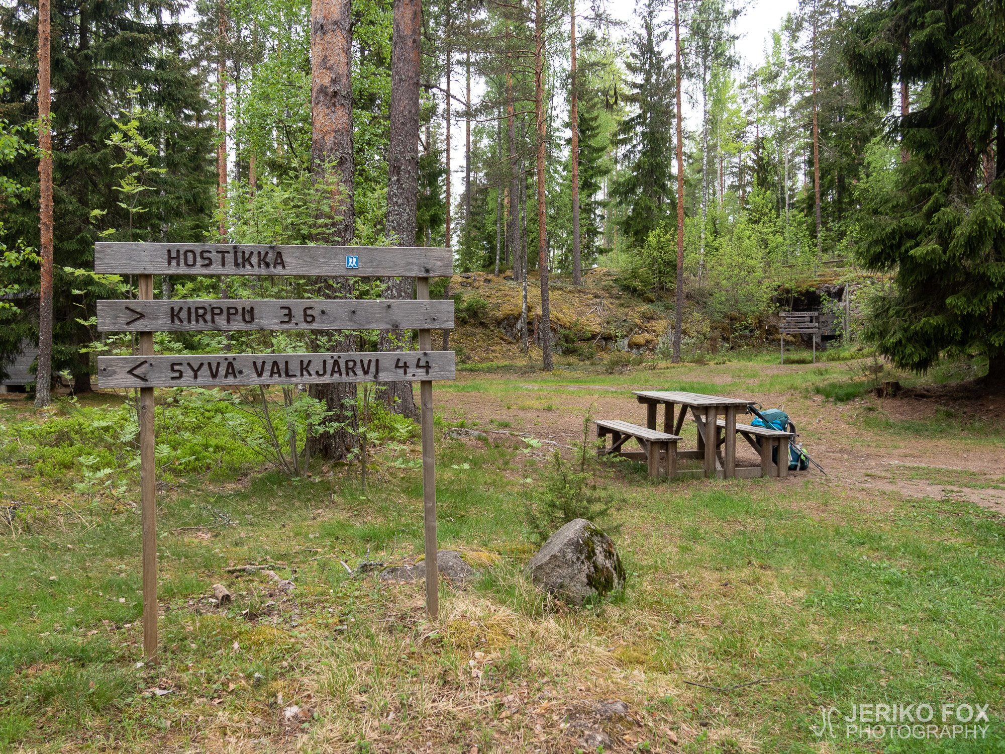
Hostikka, Miehikkälä
I woke up already before 6 am. The weather forecast was showing rain for the afternoon, hence my goal was to stay dry while finishing the remaining 8 km (5 mi). I ate a quick breakfast and after six I was already swaggering along the same gravel road that had yesterday brought me to the Takamaa lean-to.
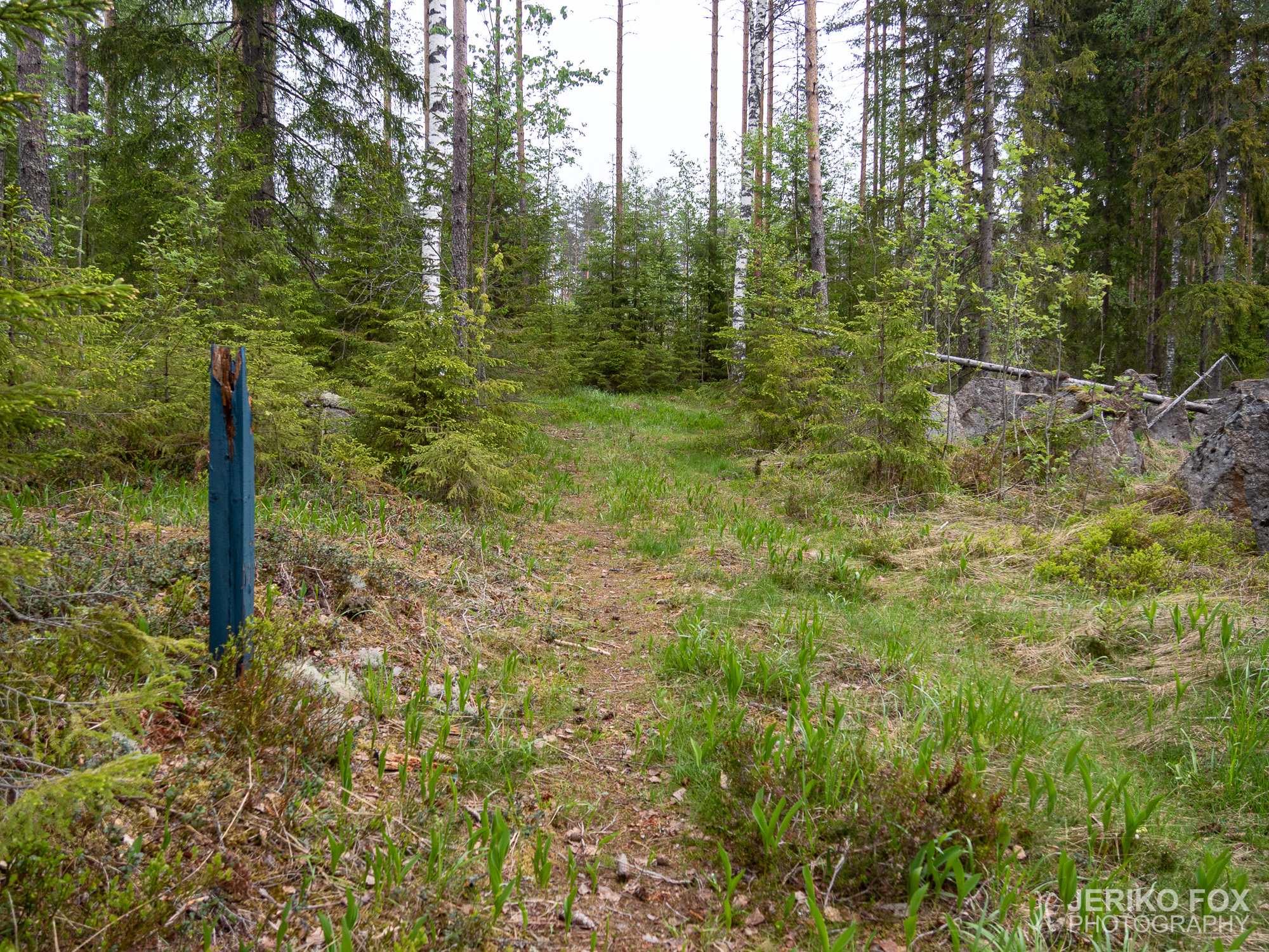
From Ojasaarentie the route turned for a while to Hirsikontie and from there to the last forest trail section. The trail here was soft and in excellent condition – running through a rather dry moss type forest for about a kilometer (0.6 mi).
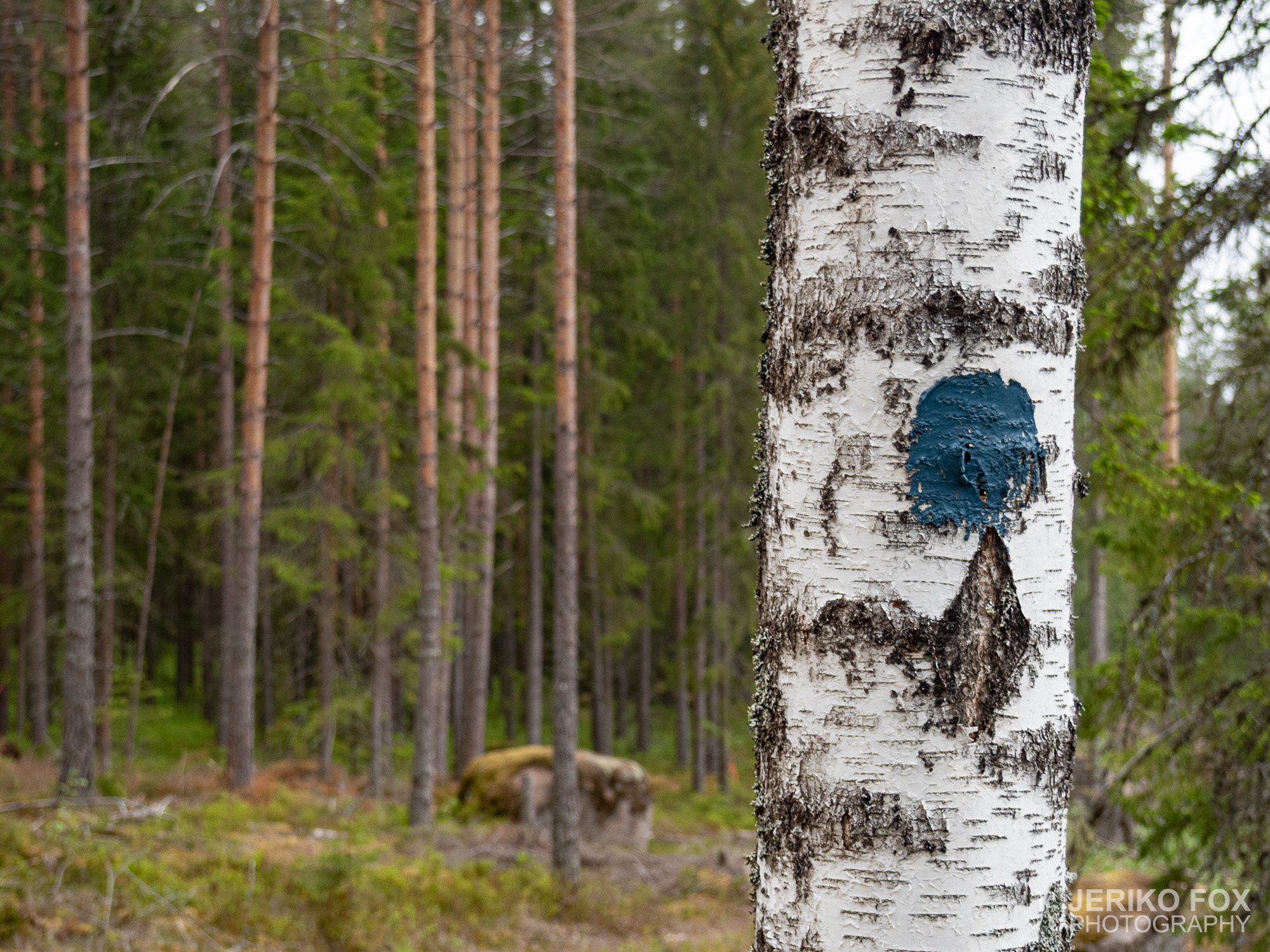
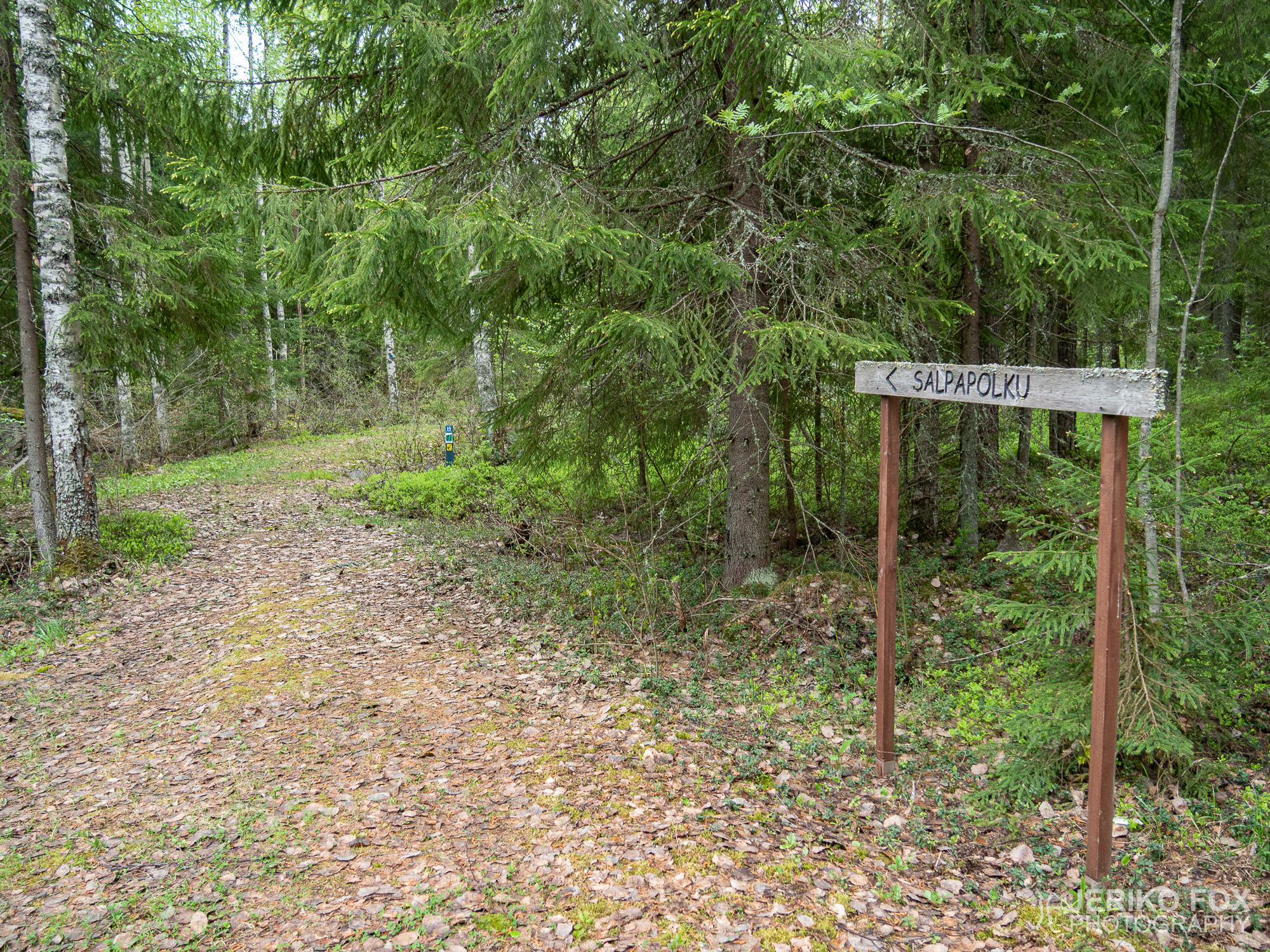
Near the lake Syvä Valkjärvi the trail ended and I was back on the road again. In this intersection there was a sign saying this was the terminus of the Salpapolku. Apparently this is why some of the sources say trail being 50 km (31 mi) and others 55 km (34 mi). The shorter distance is to Syvä Valkjärvi and the longer to Hostikka – which is still usually mentioned being the actual northern terminus.
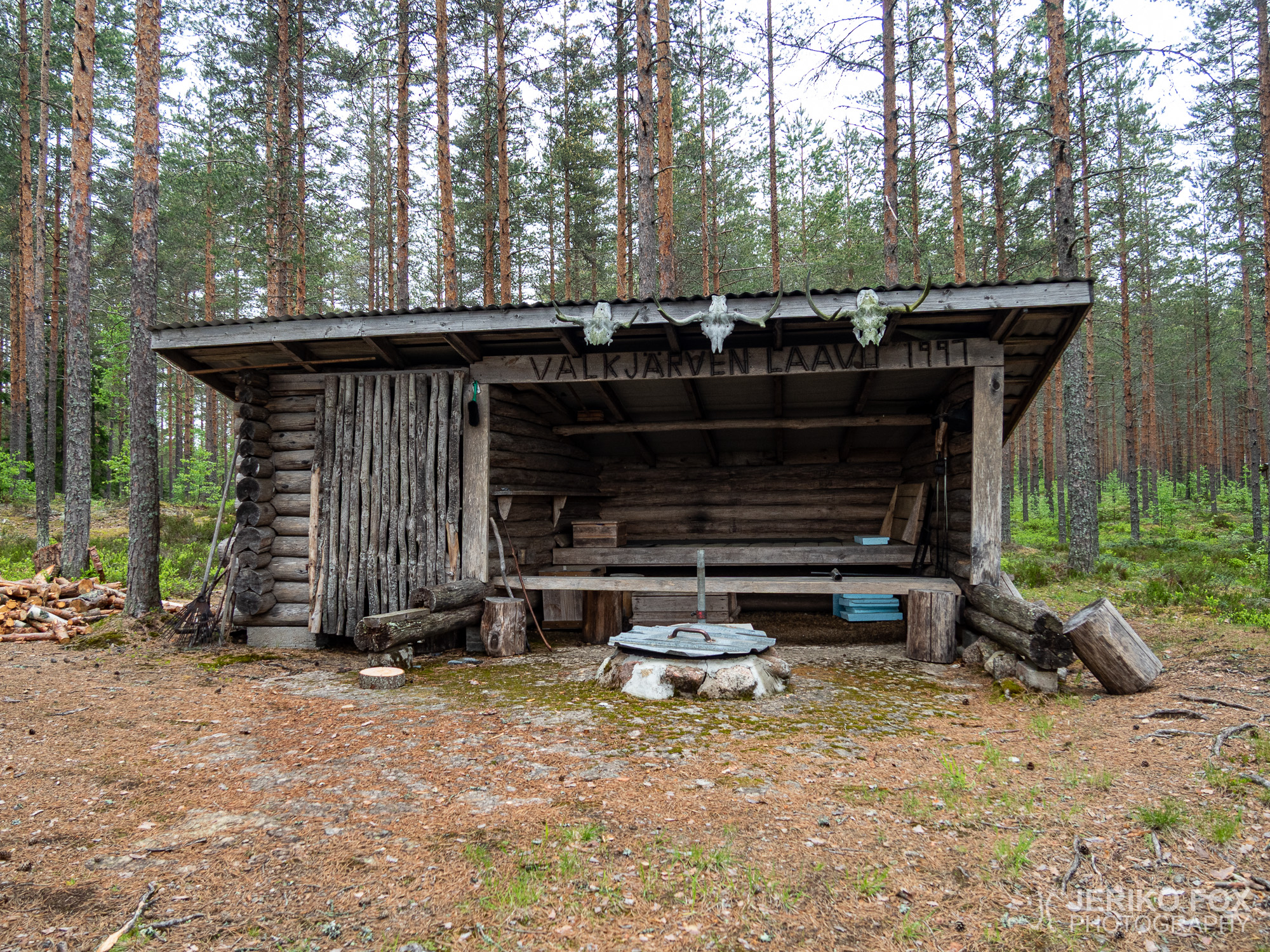
On the north side of Syvä Valkjärvi there is the Valkjärvenkangas lean-to, which was not on my map. Though it wouldn’t be especially useful for a Salpapolku hiker, unless you arrive to the terminus late at night and have no ride.
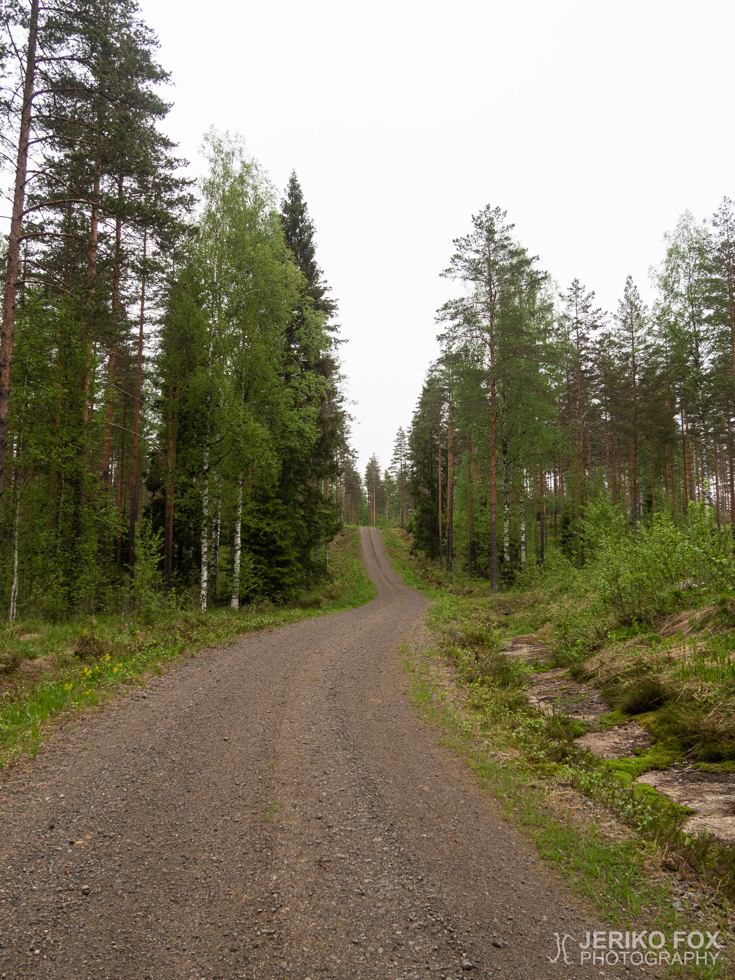
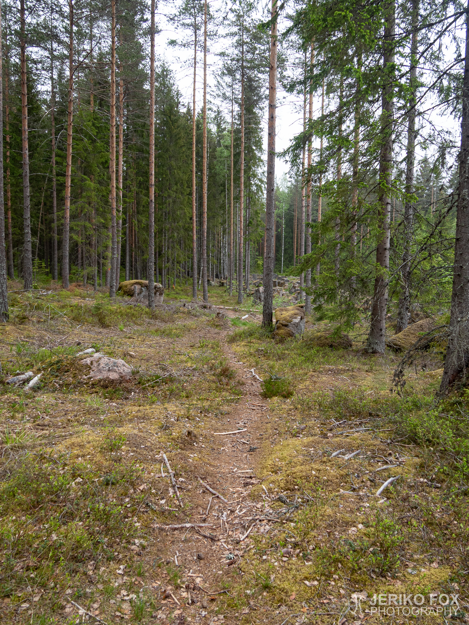
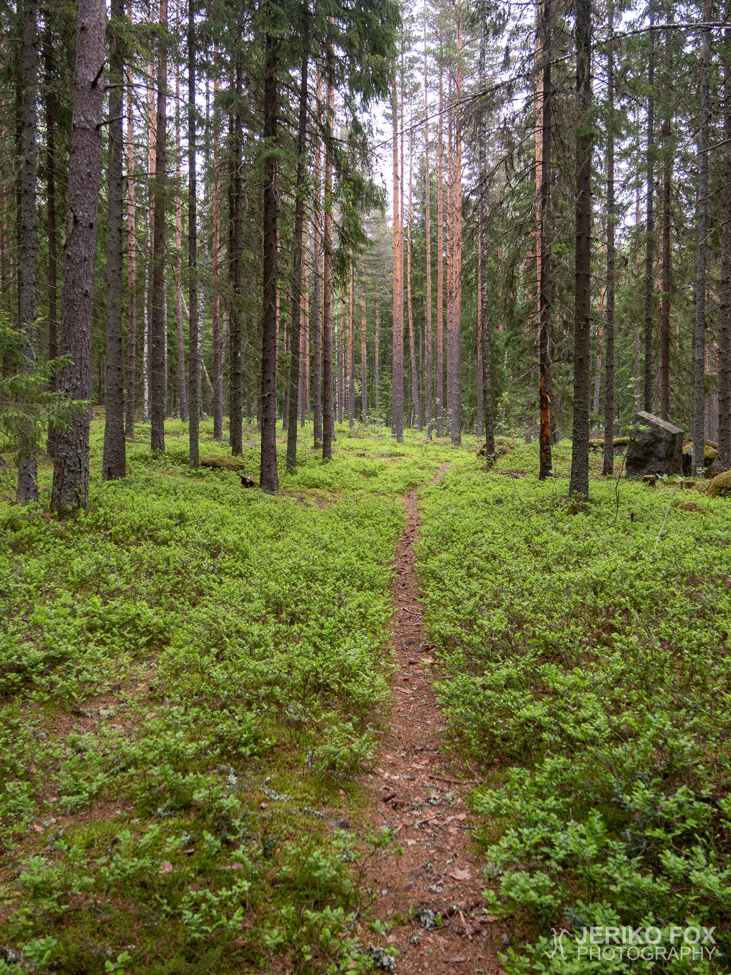
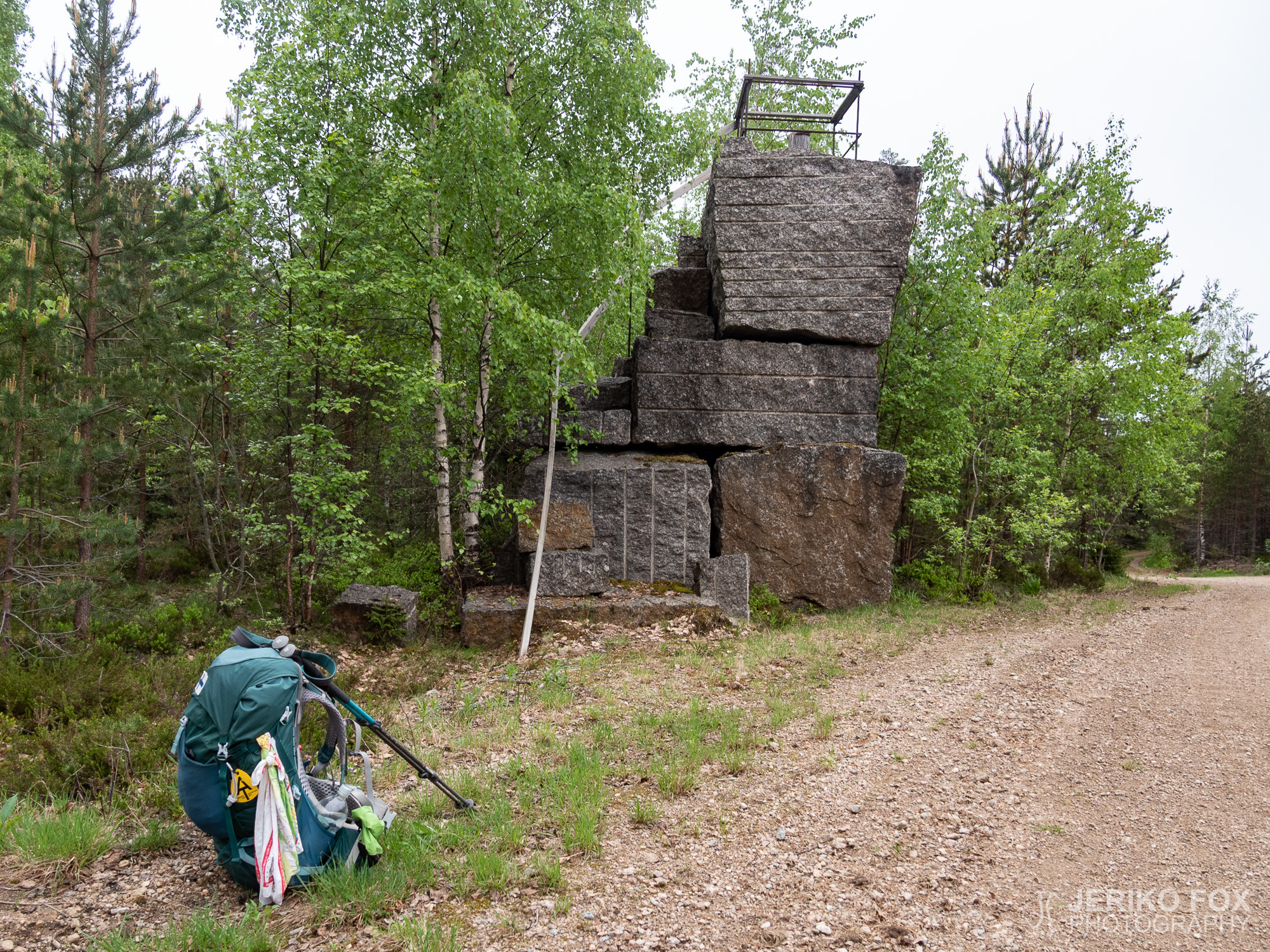
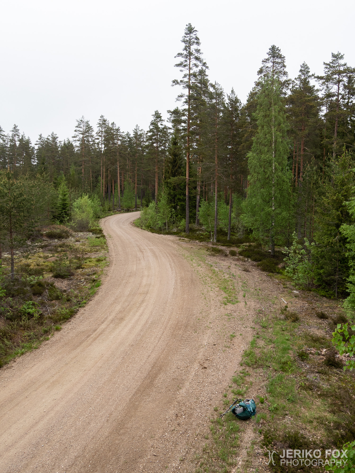
My hike progressed with a steady brisk pace. Walking along the road is fast, but landscape-wise quite boring. Only thing to do was to check at every intersection that I took the right road. In one of these intersections there was a rather peculiar tower made of some mining leftover rocks. Although the views from there weren’t exactly spectacular because many of the surrounding trees were higher.
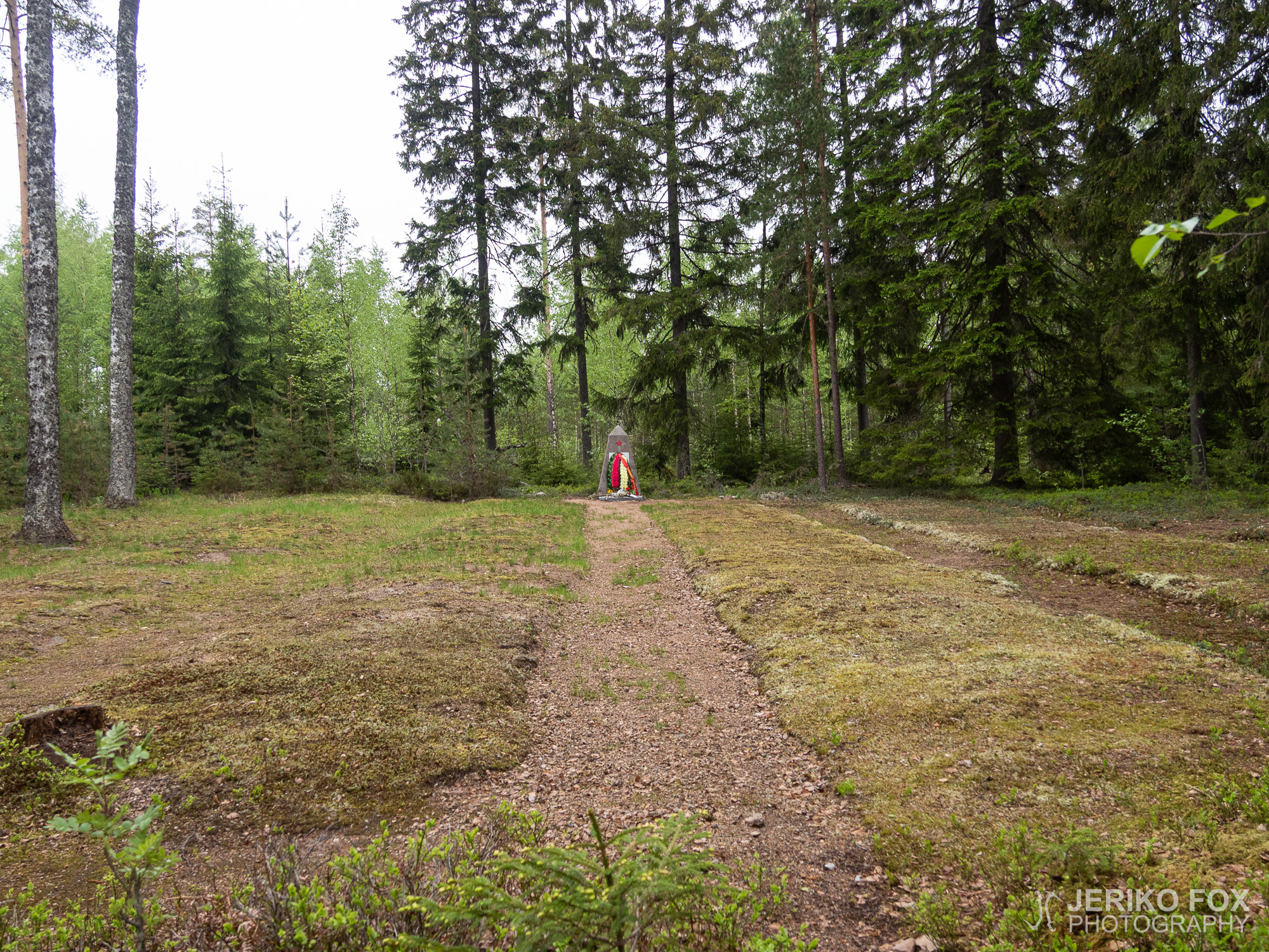
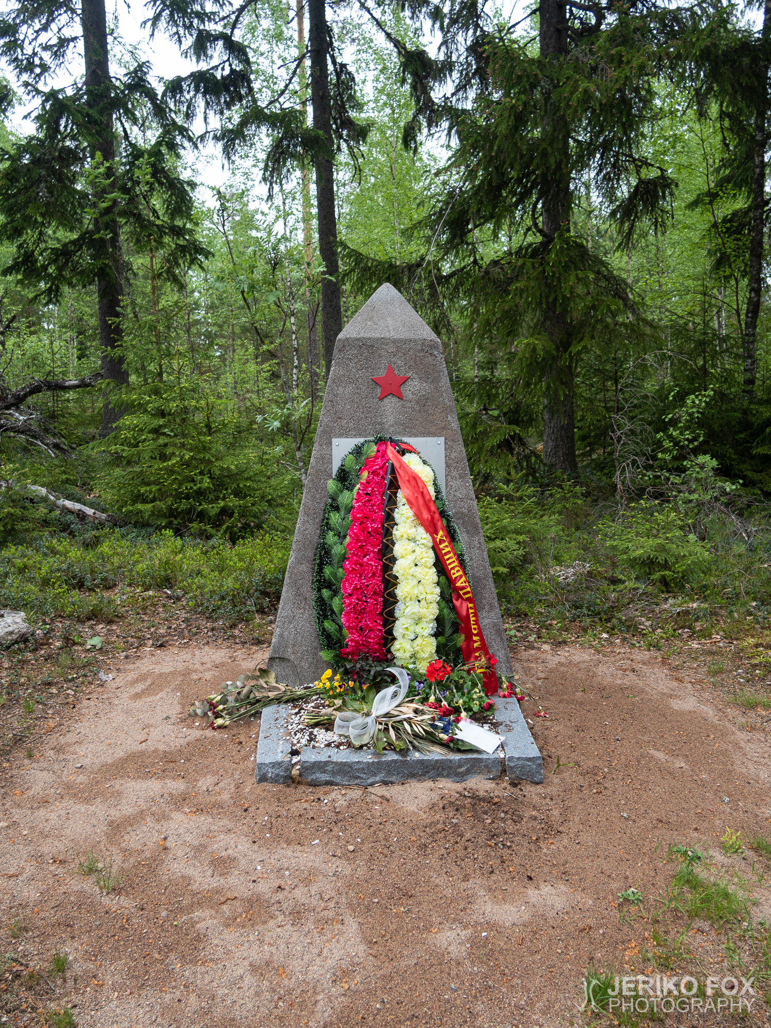
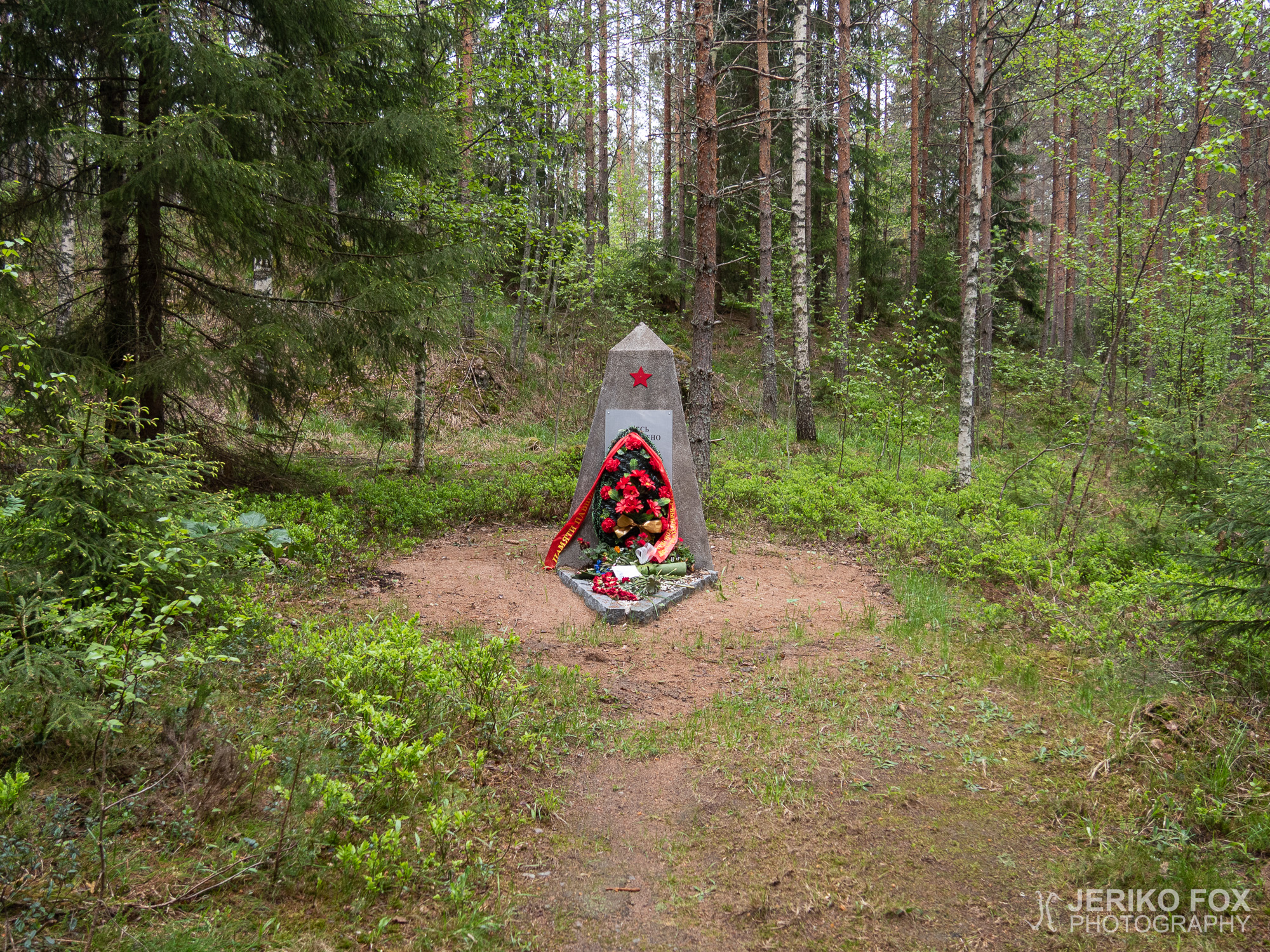
Near the tower are two Soviet prisoners-of-war cemeteries. The first one is right along the route and in front of the memorial are distinct rows of graves. The second one is a bit further away and there the memorial stands in the middle of an overgrown area. Someone had brought vines of artificial flowers to both memorials and also the Finnish-Russian Association had recently left there fresh flowers. Possibly on the Victory Day that was couple of weeks earlier.
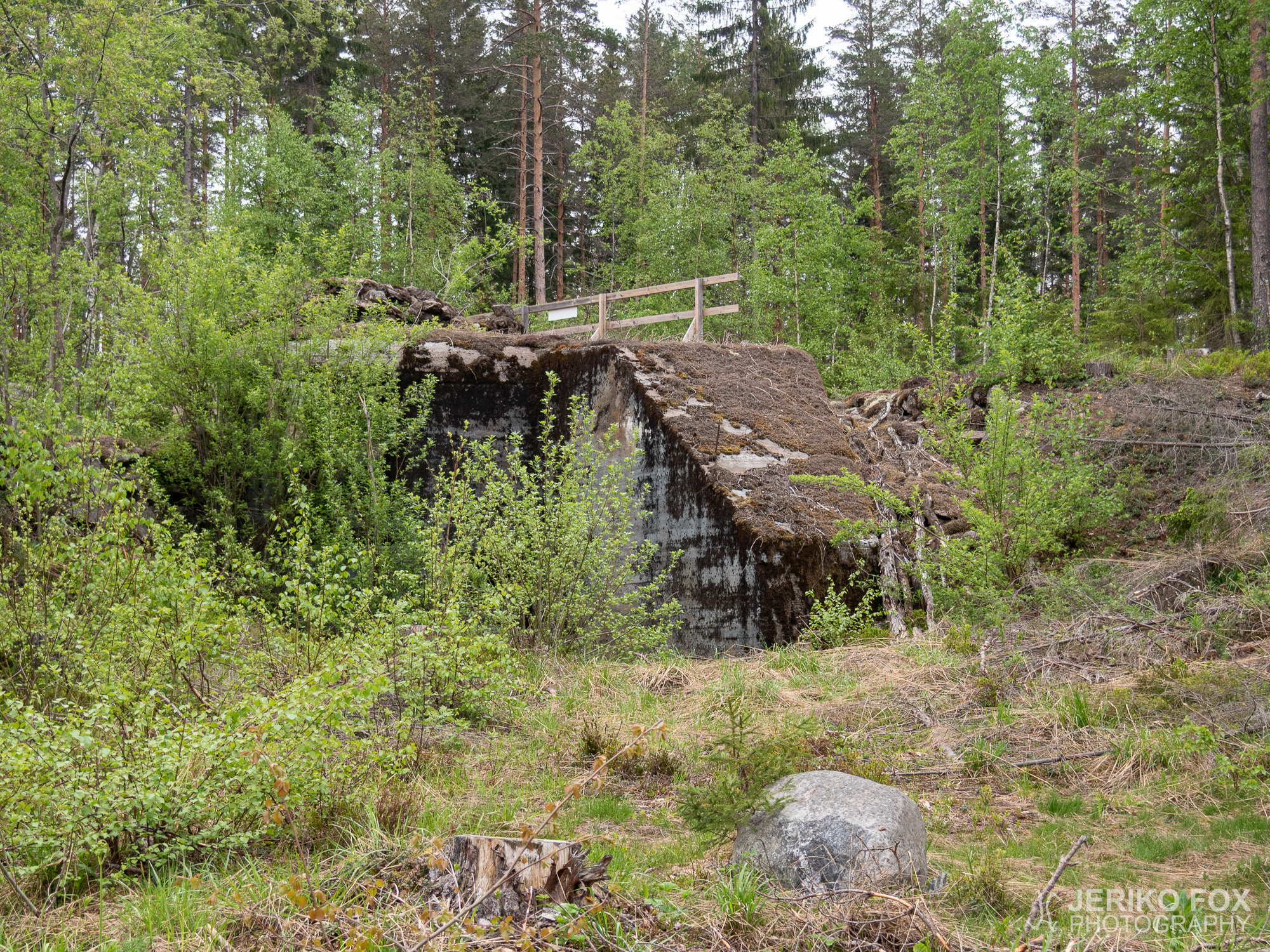
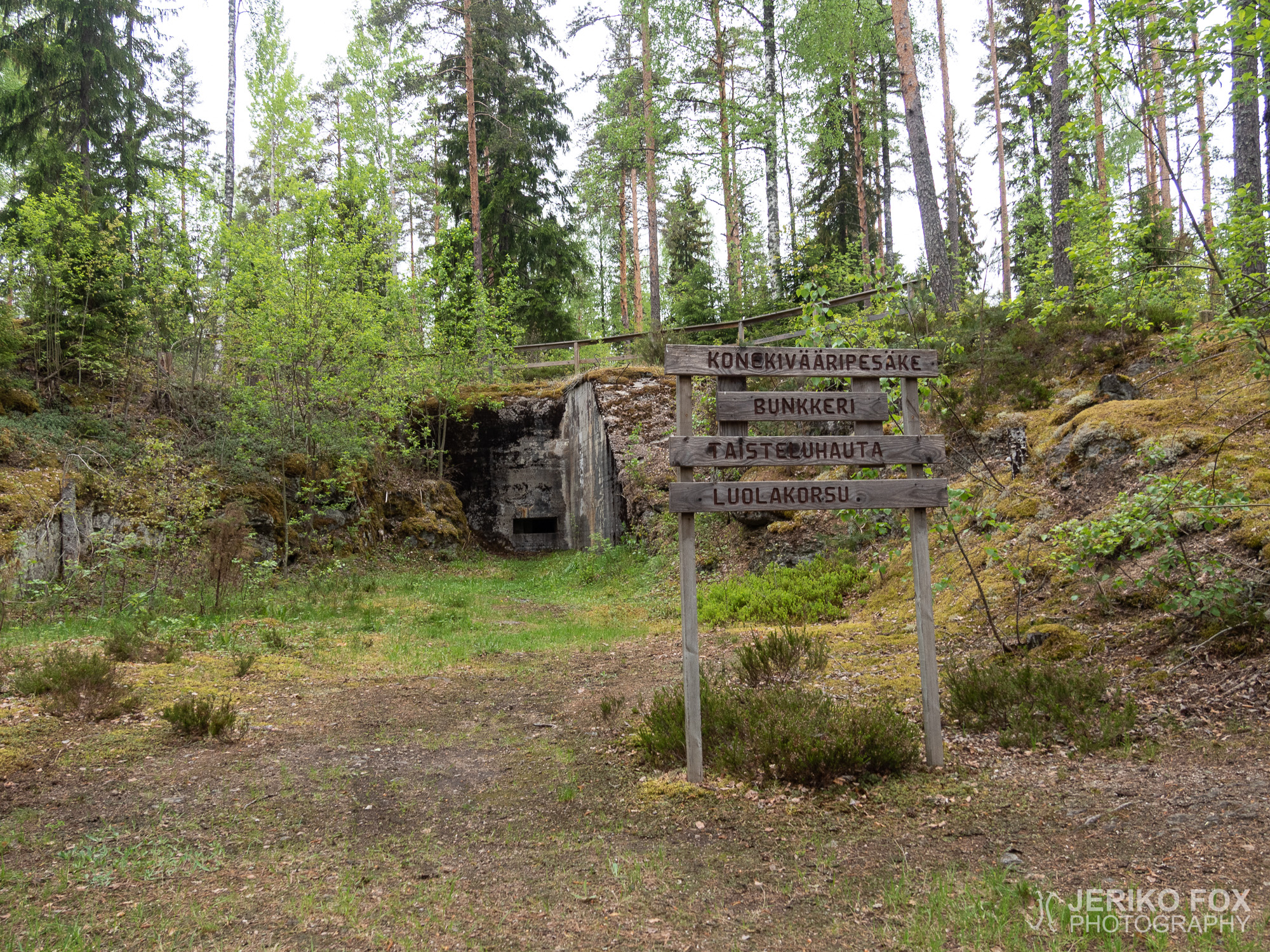
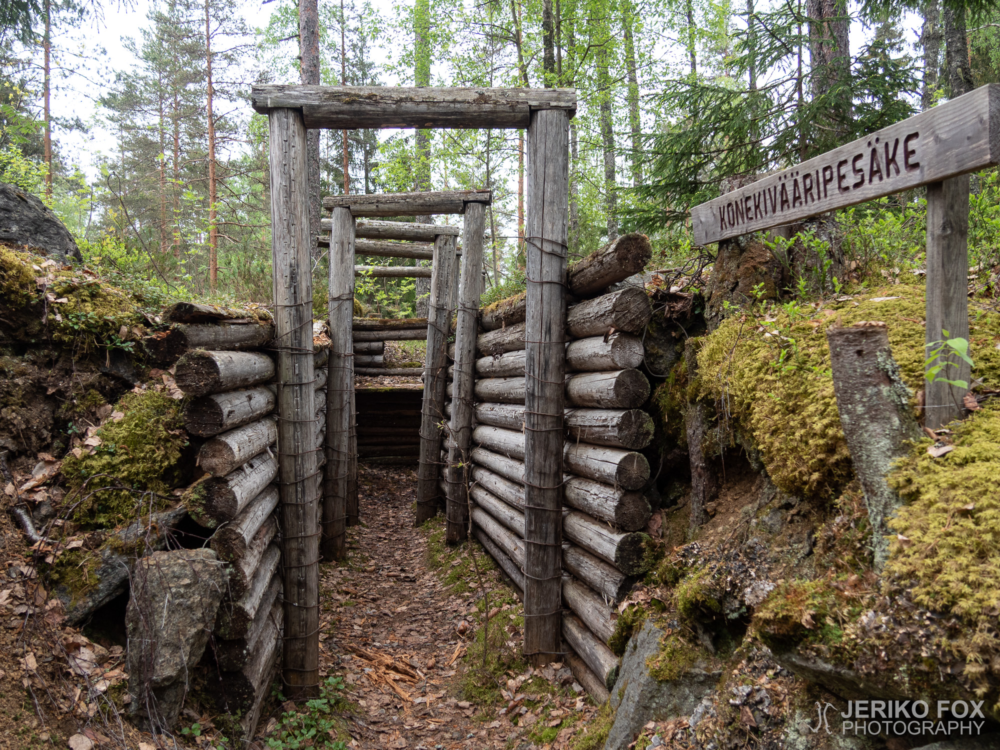
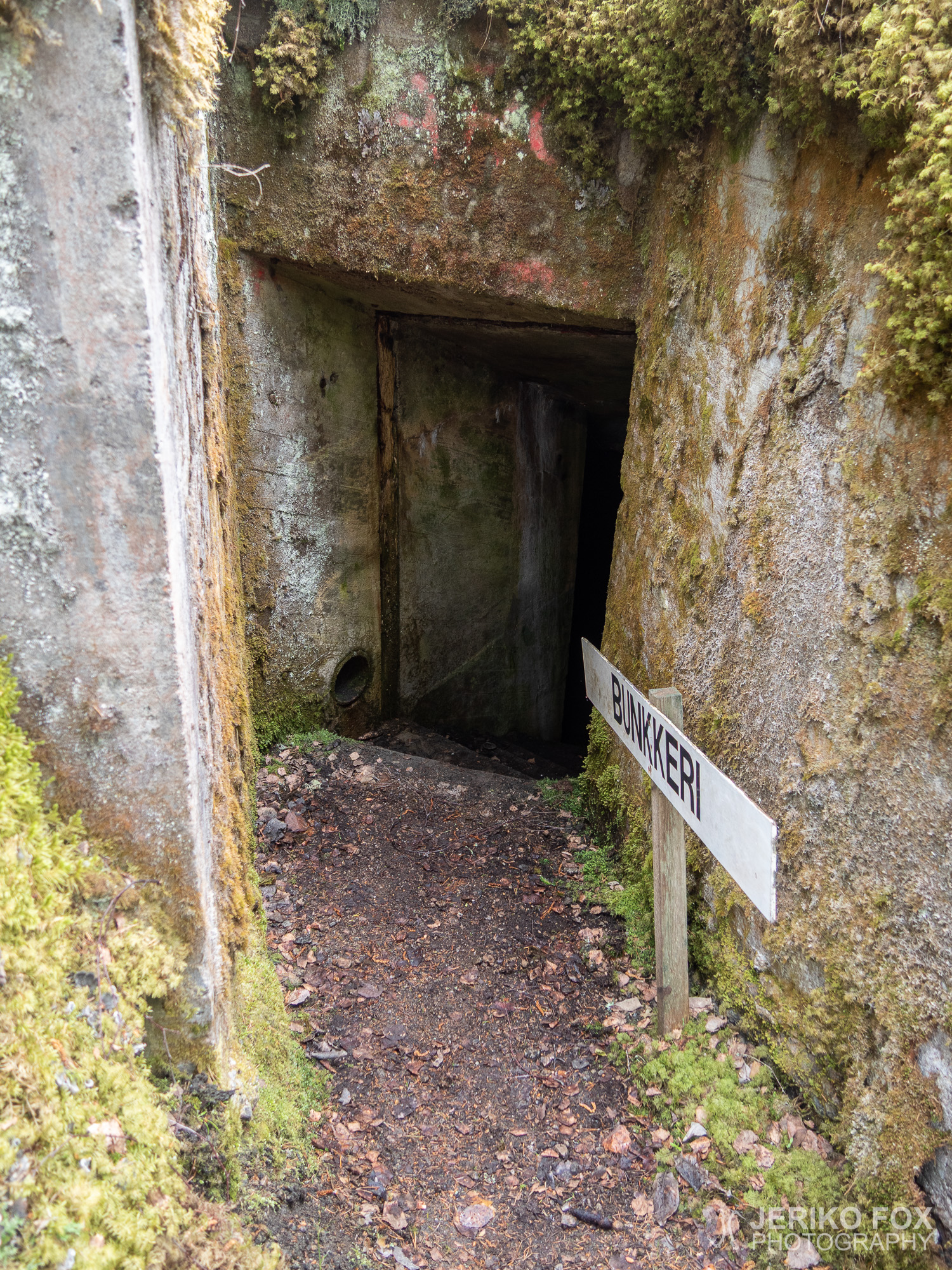
I arrived early in the morning to the Hostikka cave, which is the last bunker on the trail. Next to it is a parking lot where my parents came to pick me up after a while.
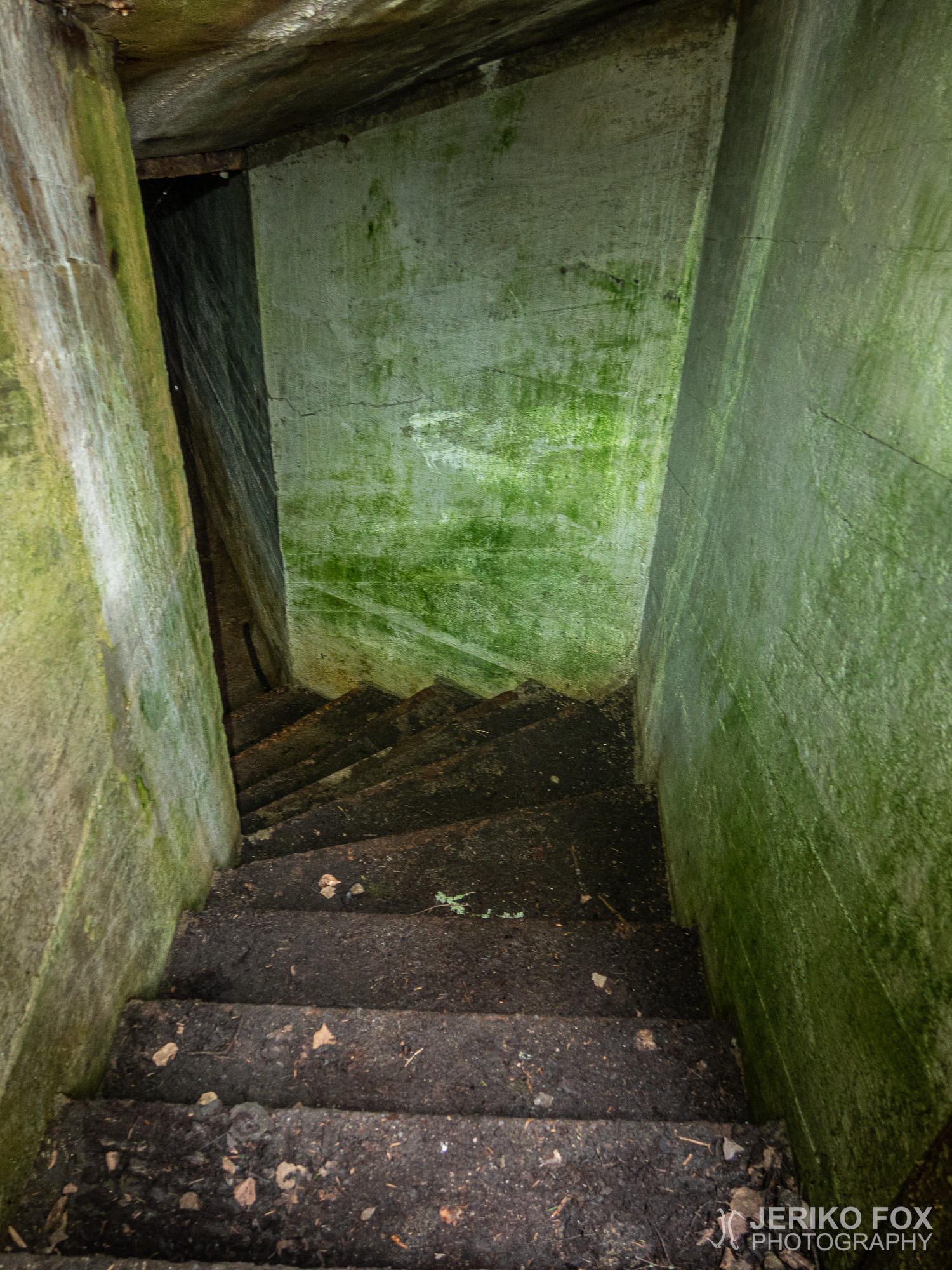
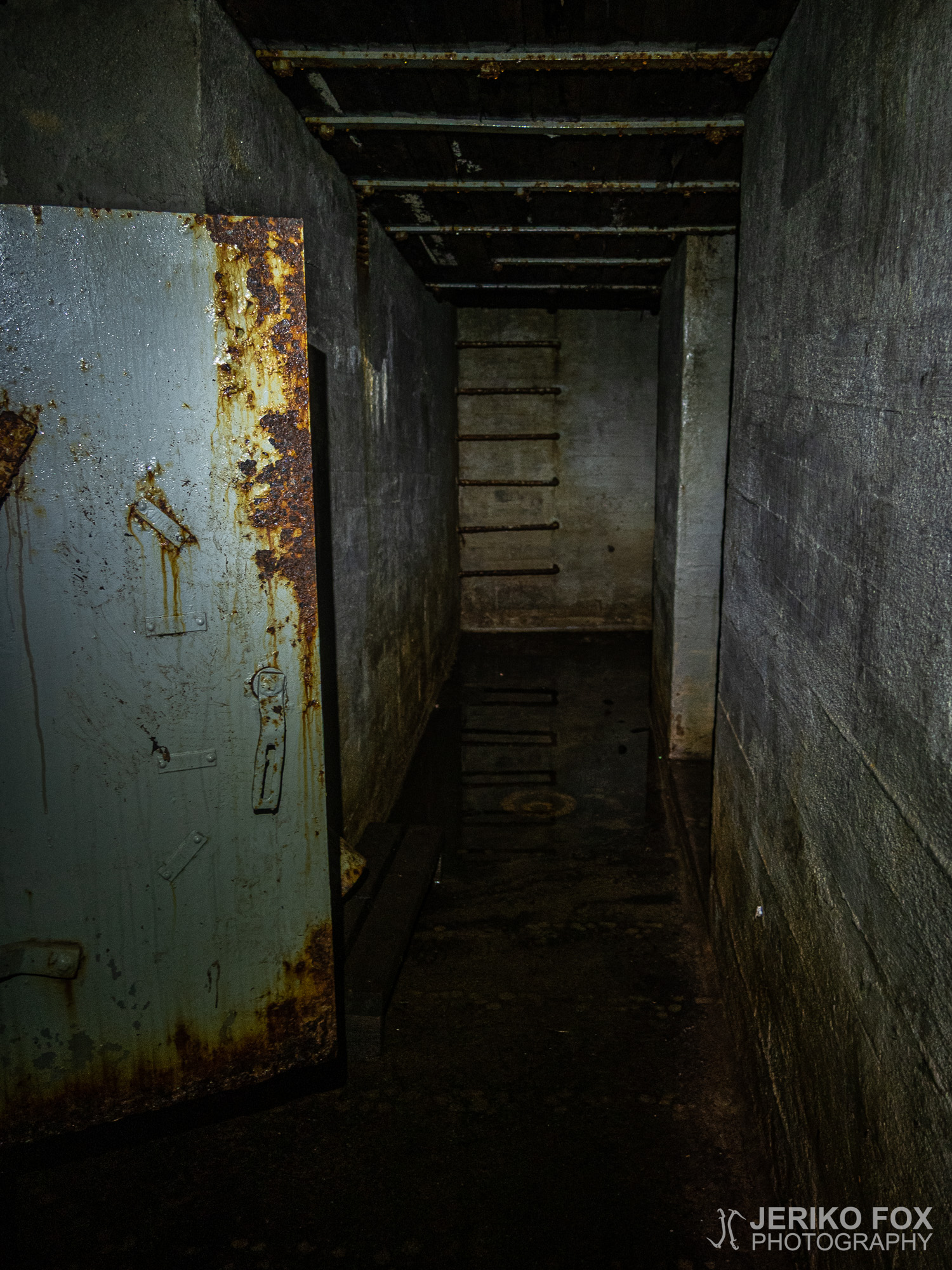
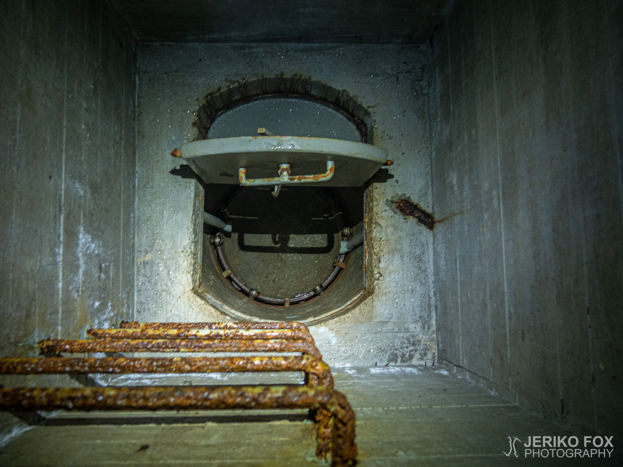
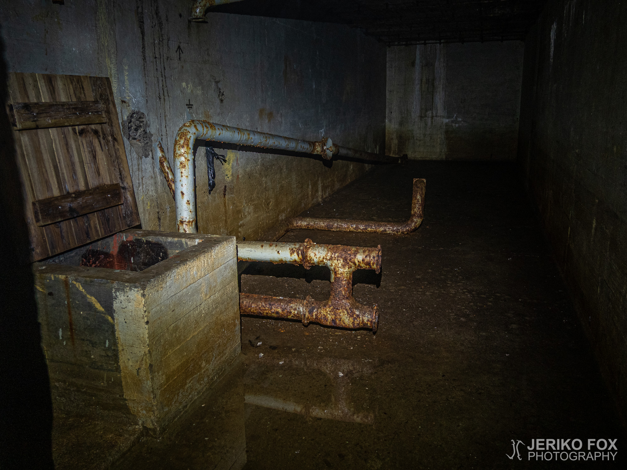
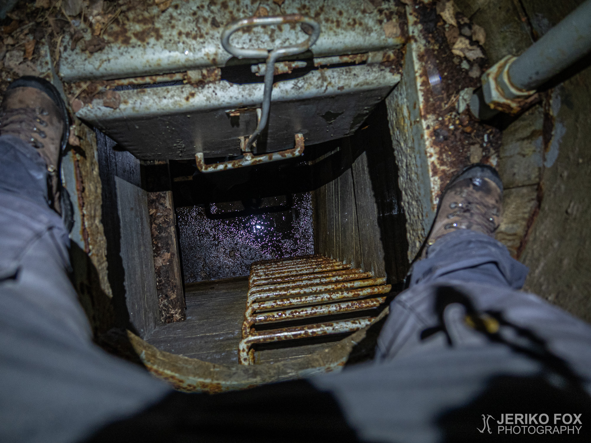
I spent four days hiking the Salpapolku, but on the fourth day I finished at 9 am – meaning the trail is easily doable in three days. It could be doable in two days, especially if one knows it well. Terrain is easy all the way. Finding the trail in sometimes overgrown places and locating the turns is time consuming. So, a map is essential (this in A4 size is detailed enough). If you want to go to the bunkers, you must have a headtorch (and spare batteries) and be careful in general. There is rebar sticking from the ceilings and walls, possible loose rocks falling, water on the floor/possile flooding and bats residing in there (though I didn’t see any). The history makes Salpapolku a very unique hike and that’s why I wish that it would be maintained a bit better.
Heräsin aamulla jo ennen kuutta. Sääennustus oli luvannut sadetta iltapäivälle, joten tavoitteenani oli suoriutua jäljellä olevasta kahdeksasta kilometristä kuivana. Söin nopean aamupalan ja kuuden jälkeen lähdin jatkamaan matkaa samaa soratietä, jota pitkin olin saapunut Takamaan laavulle.
Ojasaarentieltä reitti kääntyi hetkeksi Hirsikontielle ja sieltä viimeiselle metsäpolkupätkälle. Tämä noin kilometrin mittainen osuus oli hyvää pehmeää polkua kuivahkossa kangasmetsässä.
Syvä Valkjärven tuntumassa siirryin polulta Syvän Valkjärventielle. Tässä risteyksessä oli kyltti, joka ilmoitti Salpapolun päätepisteestä. Ilmeisesti tämän vuoksi osa lähteistä ilmoittaa pituudeksi 50km ja osa 55km. Lyhyempi matka on siis Syvä Valkjärvelle, mutta pidempi tulee täyteen, jos matkaa jatkaa vielä Hostikkaan asti – joka löytämissäni lähteissä kuitenkin mainitaan pohjoiseksi päätepisteeksi.
Syvä Valkjärven pohjoispuolella on Valkjärvenkankaan laavu, jota ei ollut merkitty karttaani. Salpapolun vaeltamisen näkökulmasta se toki ei ole erityisen hyödyllinen ellei satu saapumaan pohjoiseen päätepisteeseen illalla.
Matka eteni tasaisen reipasta tahtia. Teitä pitkin kulkeminen on nopeaa, mutta maisemallisesti melko tylsää. Risteyksissä piti vain tarkistaa olevansa menossa oikeaan suuntaan. Yhdessä risteyksessä oli hyvin erikoinen louhitusta kivestä tehty torni. Kovin kummoisia maisemia sieltä ei kuitenkaan avautunut, koska osa ympäröivistä puista oli korkeampia.
Tornin lähellä on kaksi neuvostosotavankien hautausmaata. Ensimmäinen on suoraan reitin varrella ja muistomerkin edustalla on selkeät hautarivistöt. Toinen on hieman sivumpana ja siellä muistomerkki seisoo metsittyneen alueen keskellä. Molemmille muistomerkeille oli tuotu tekokukkaköynnökset sekä myös hiljattain aitoja kukkia Suomi-Venäjä -seuran toimesta. Mahdollisesti vajaan pari viikkoa aiemmin olleen voitonpäivän yhteydessä.
Saavuin hyvissä ajoin aamupäivällä Hostikan luolalle, joka on siis reitin viimeinen bunkkeri. Sen luona on parkkipaikka, josta vanhempani tulivat minua tovin kuluttua hakemaan.
Käytin itse neljä vaelluspäivää Salpapolulla, mutta olin neljäntenä päivänä jo yhdeksän aikaan perillä eli reitti olisi hyvin tehtävissä kolmessa päivässä. Sen ehtii mennä kahdessakin päivässä – etenkin, jos reitti on tuttu. Maastollisesti mitään vaikeaa Salpapolulla ei ole. Aikaa kuluu paikoin umpikasvaneen reitin etsimiseen ja käännösten paikantamiseen. Kartta kannattaa siis ehdottomasti olla mukana (tarkkuudeltaan tämä A4-koossa riittää). Bunkkereihin menijän kannattaa varautua otsalampulla (ja varapattereilla) sekä noudattaa varovaisuutta. Seinistä ja katoista voi töröttää rautatankoja tai pudota irtokiviä, lattialla voi olla tulvimiseen asti vettä sekä bunkkereissa voi majailla lepakoita (vaikka en niitä itse kohdannut). Kohteena Salpapolku on historiansa ansiosta uniikki ja sen vuoksi toivoisin sen kuntoon panostettavan pienellä reitin ylläpidolla.
Max elevation: 68 m
Total time: 02:58:29