
The Rutola village is located west from Lappeenranta – near the intersection of routes 6 and 13. In 19th century the village started to form near a log driving passage and a sawmill was built. Now one can dive into that history and experience the charming nature hiking the Rutola Village Trail, which starts from the Rutola volunteer fire department (VFD). As a bonus attraction the Salpalinja also runs though Rutola, hence there are bunkers along the trail.
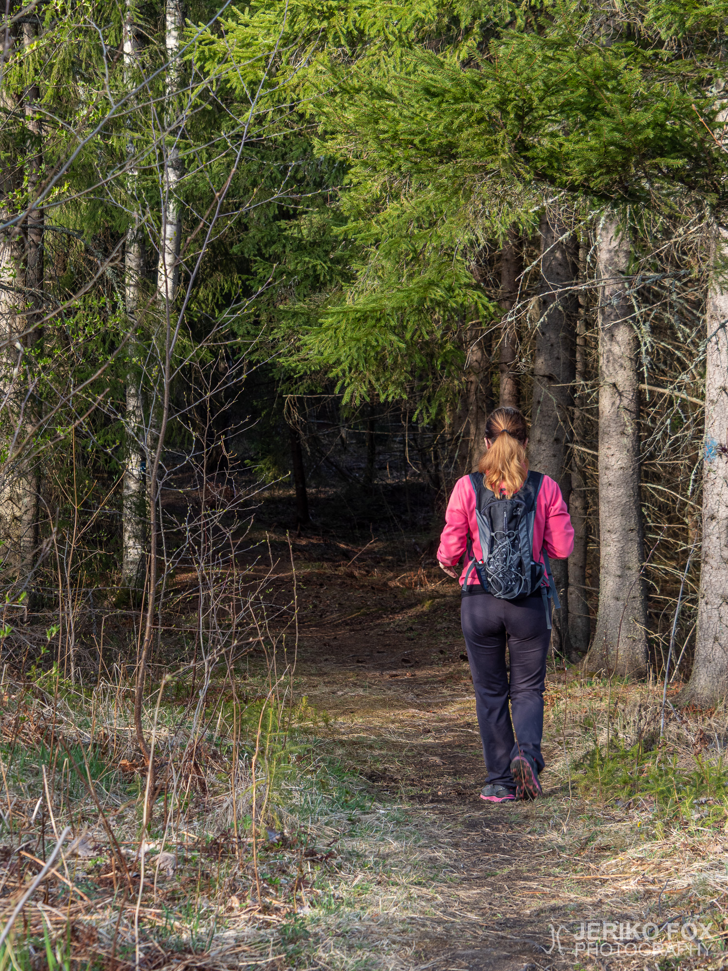
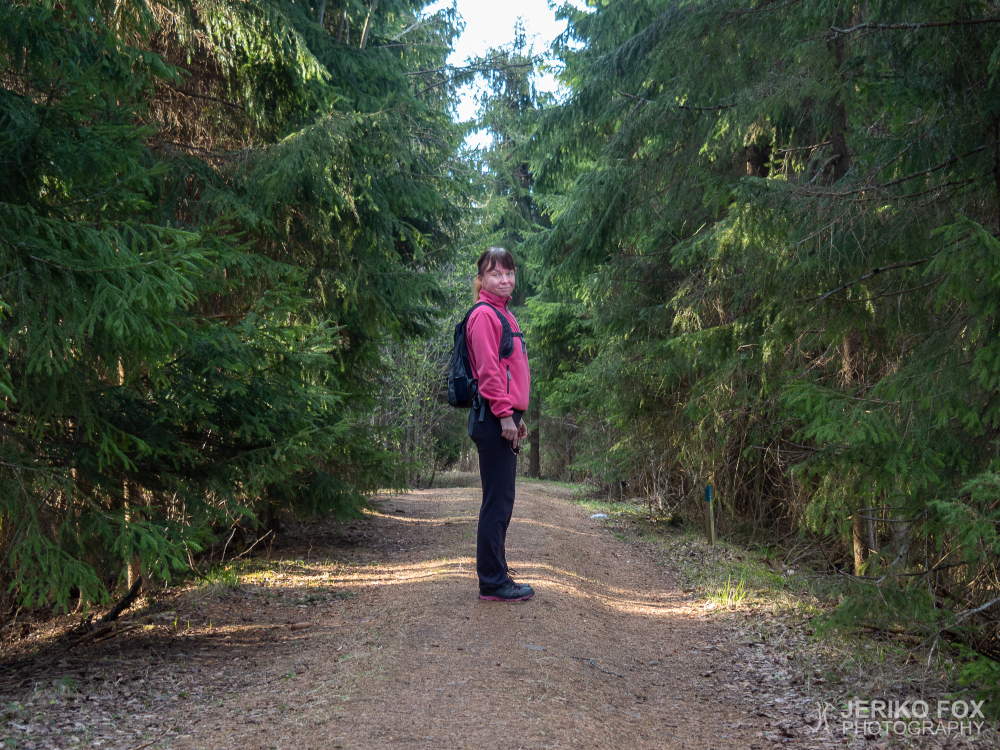
On a sunny day of May me and Nina decided to check out the Rutola Village Trail. The trail is about 3 km (about 2 mi) and suits well for families with children also. Car can be parked at the VFD and there is also a route map on the wall.
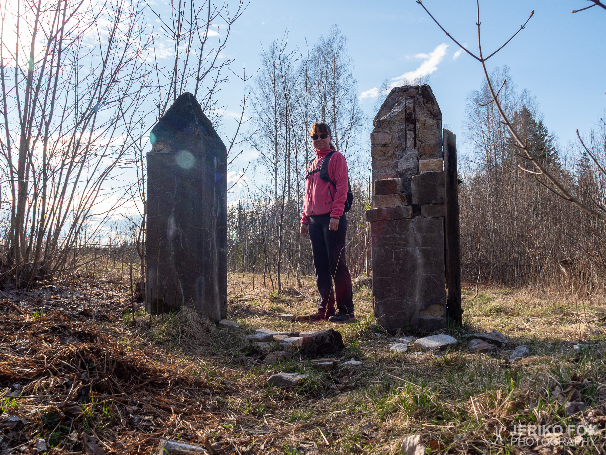
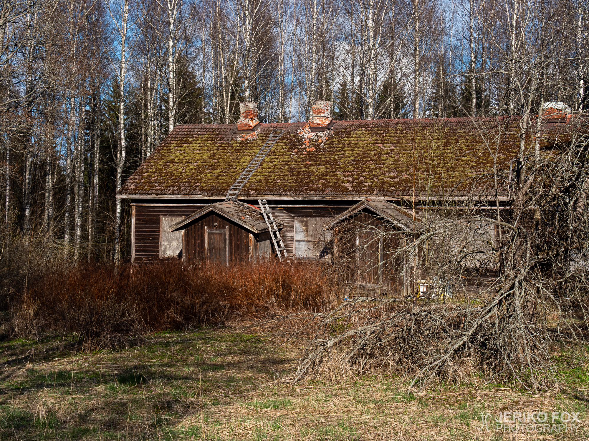
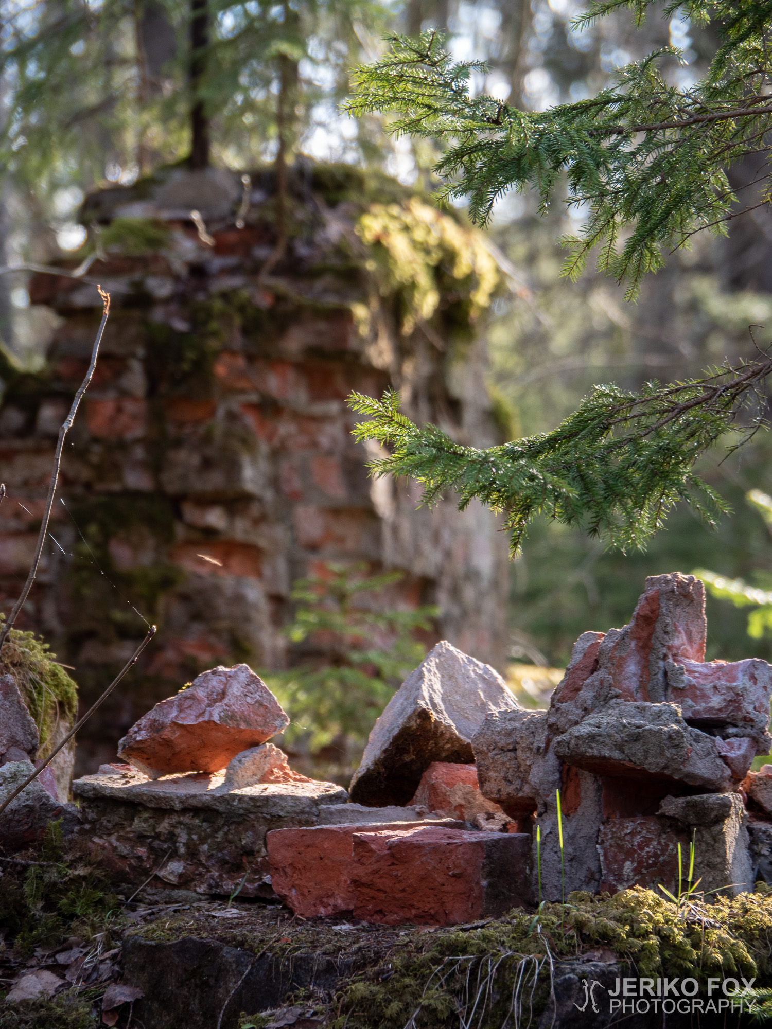
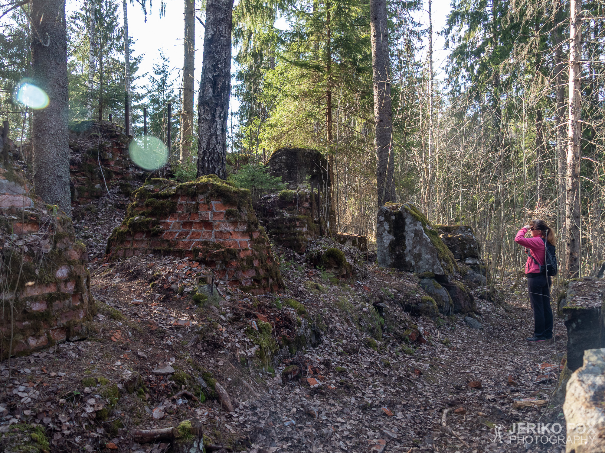
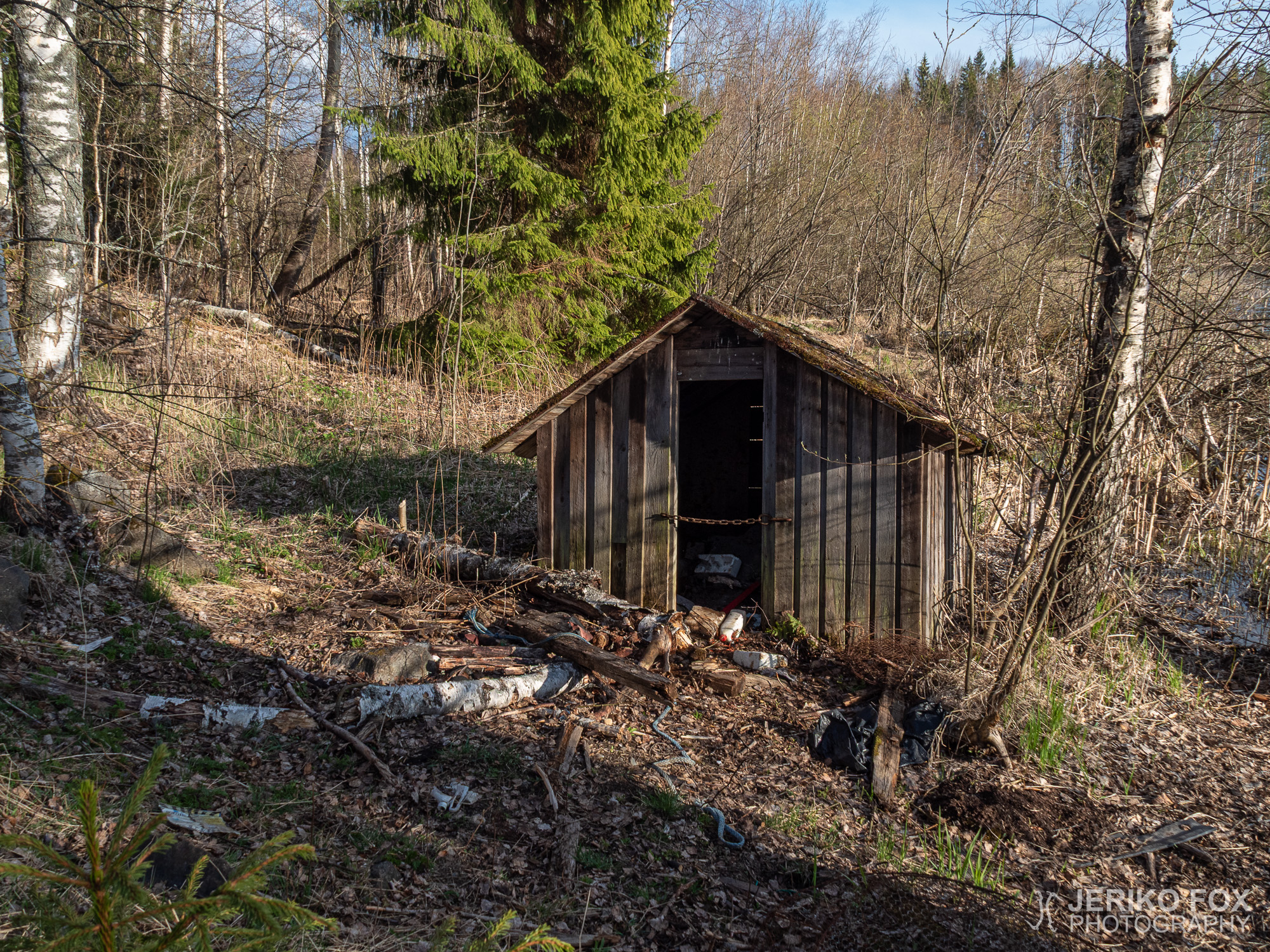
Most of the buildings of the old sawmill are long gone, but ruins can be found throughout the trail. There are signs along the trail (much like on nature trails in general) that give more detailed information about the history and lives of the people.
The trail follows mainly dirt roads, but there are sections of forest trails, too. What it comes to the old sawmill, the most interesting sight might be the ruins of the sawmill itself. There are piles of moss covered rocks in a place where the sunlight gracefully falls though the spruce trees – a great photography location.
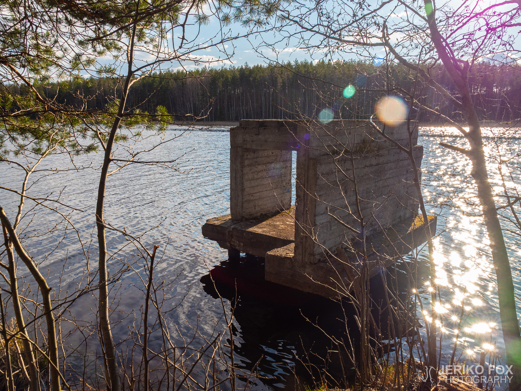
In Lapatonniemi the trail comes to the shore of the Lake Saimaa. There are boats of some locals, but I think nothing prevents one from dipping in though there is no official swimming place there.
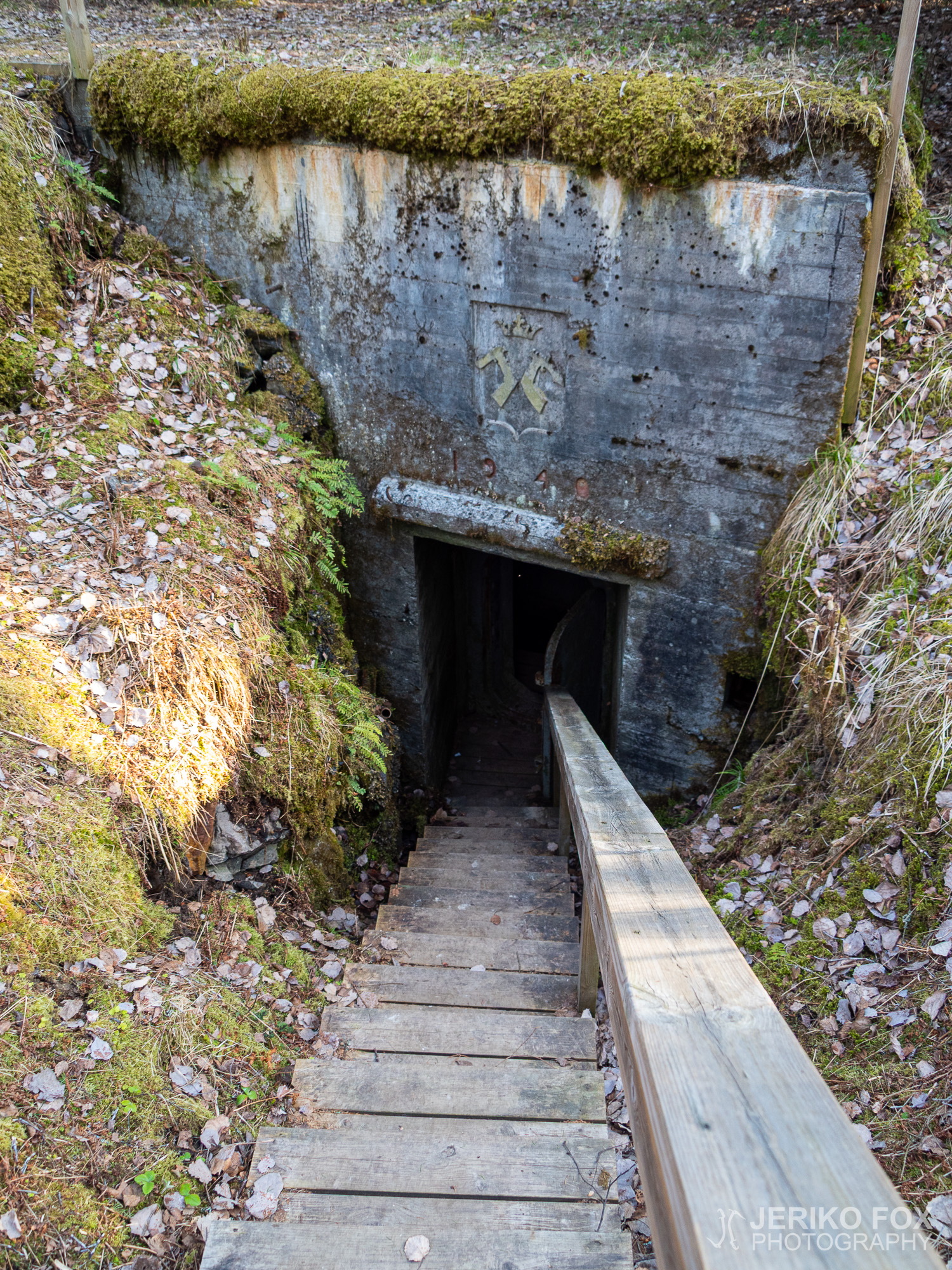
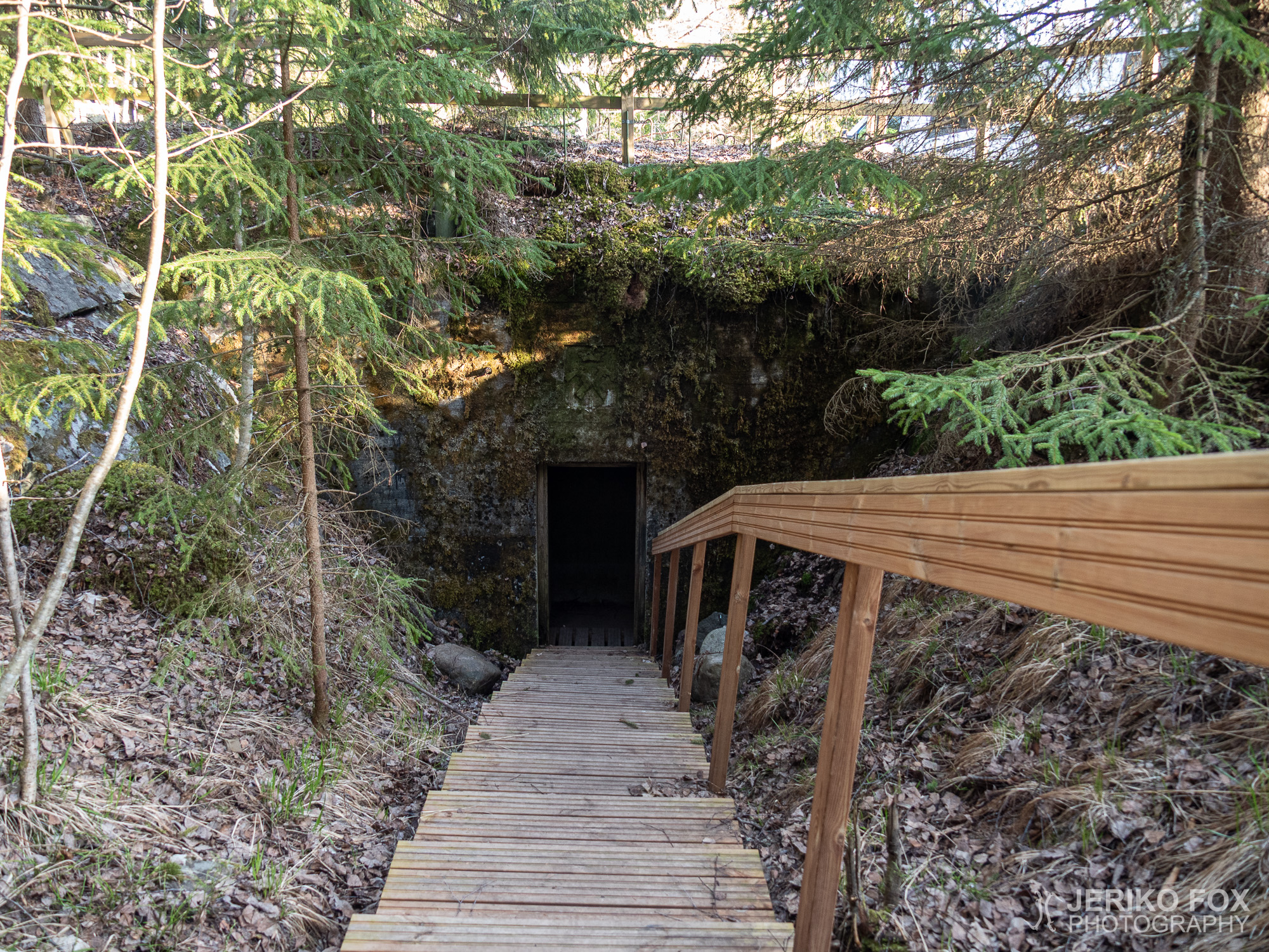
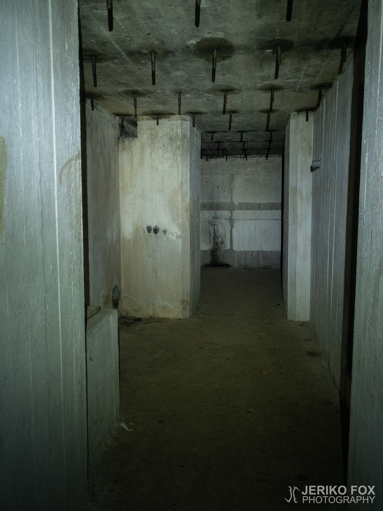
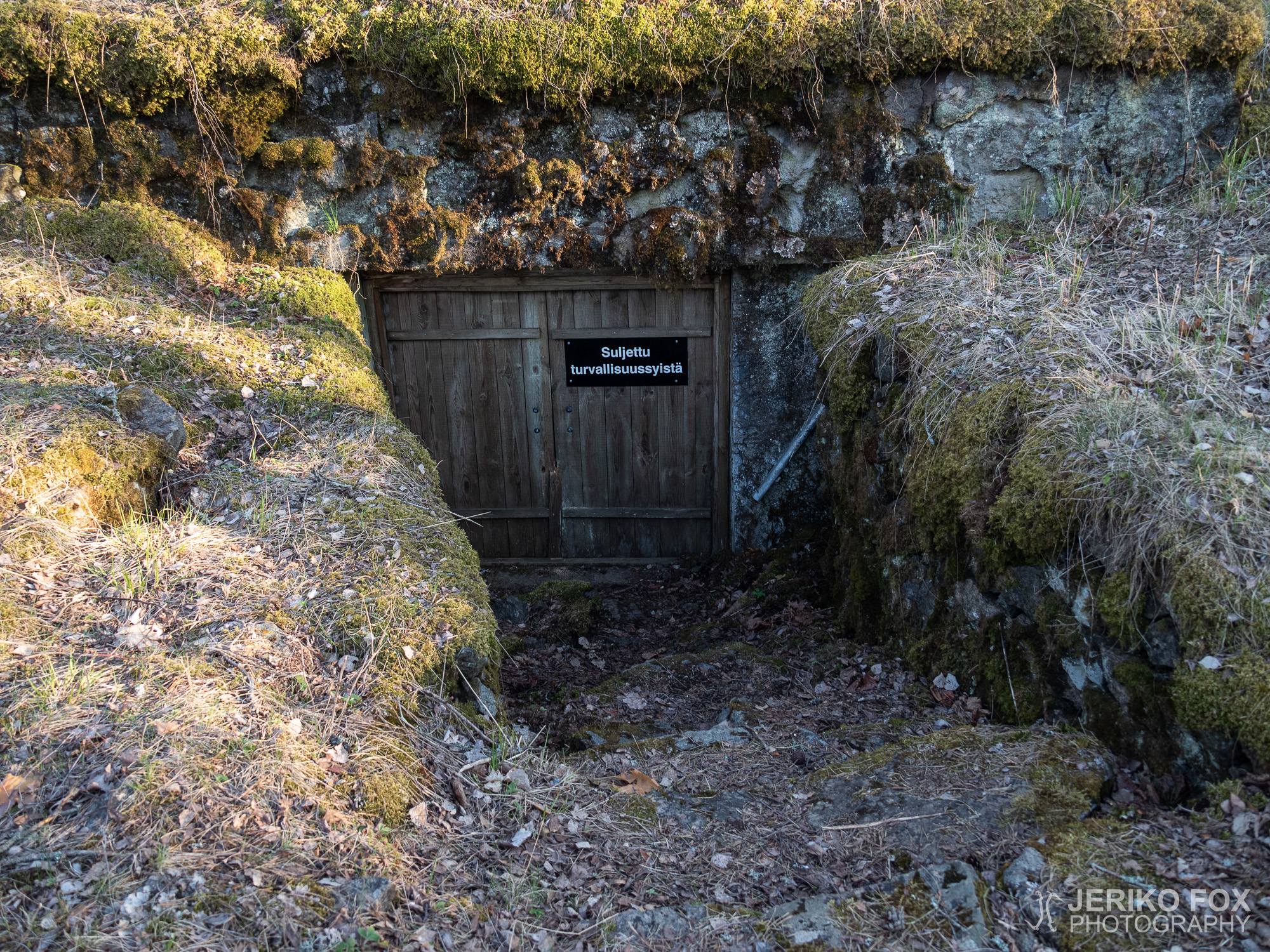
On the way back the trail meets the Vanha Mikkelintie, where there are the Salpalinja bunkers. For these one should have a head torch (or actually it’s a good idea to have one always with you, though you wouldn’t plan for an overnight hike) because there is pitch black inside.
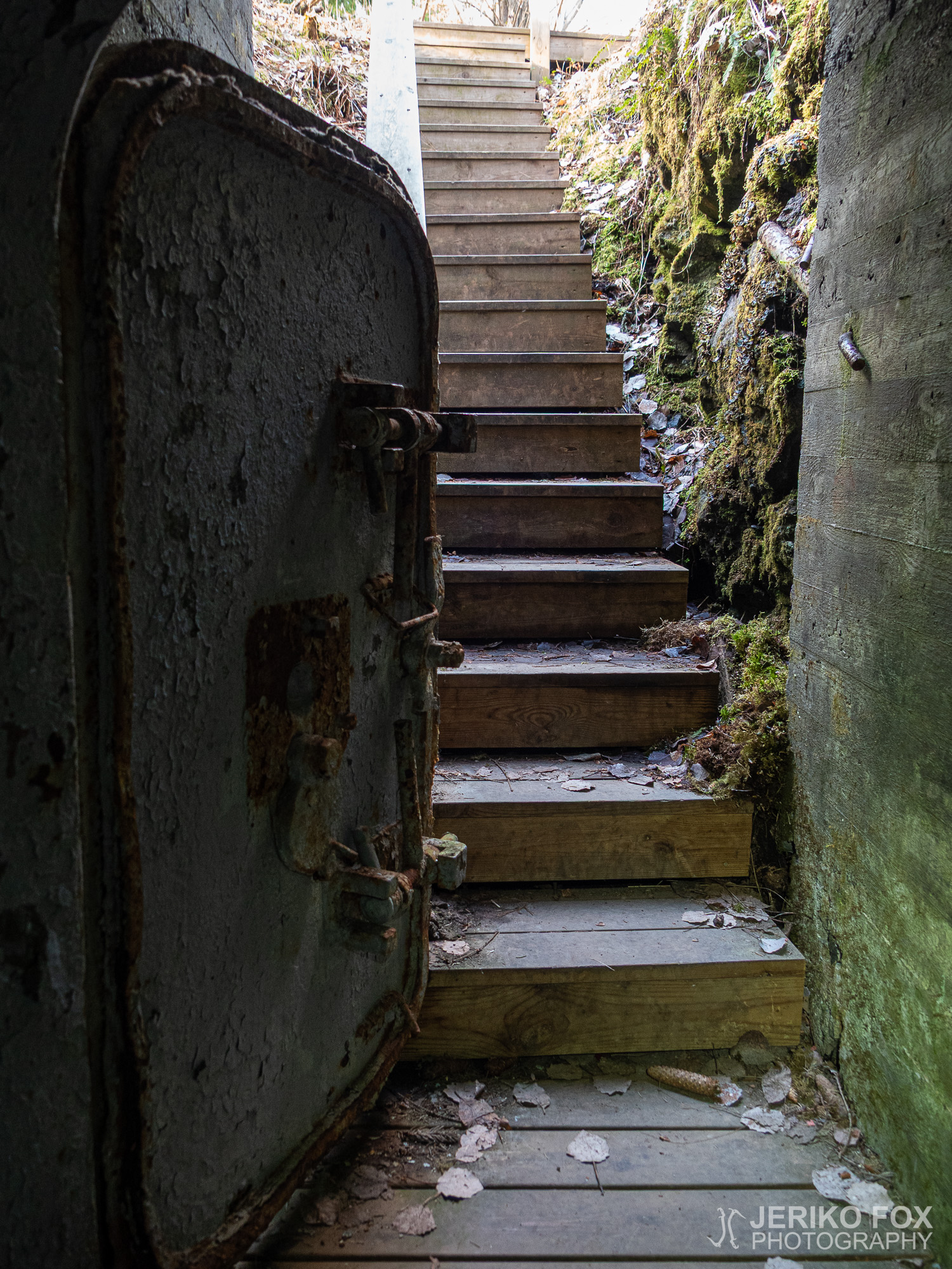
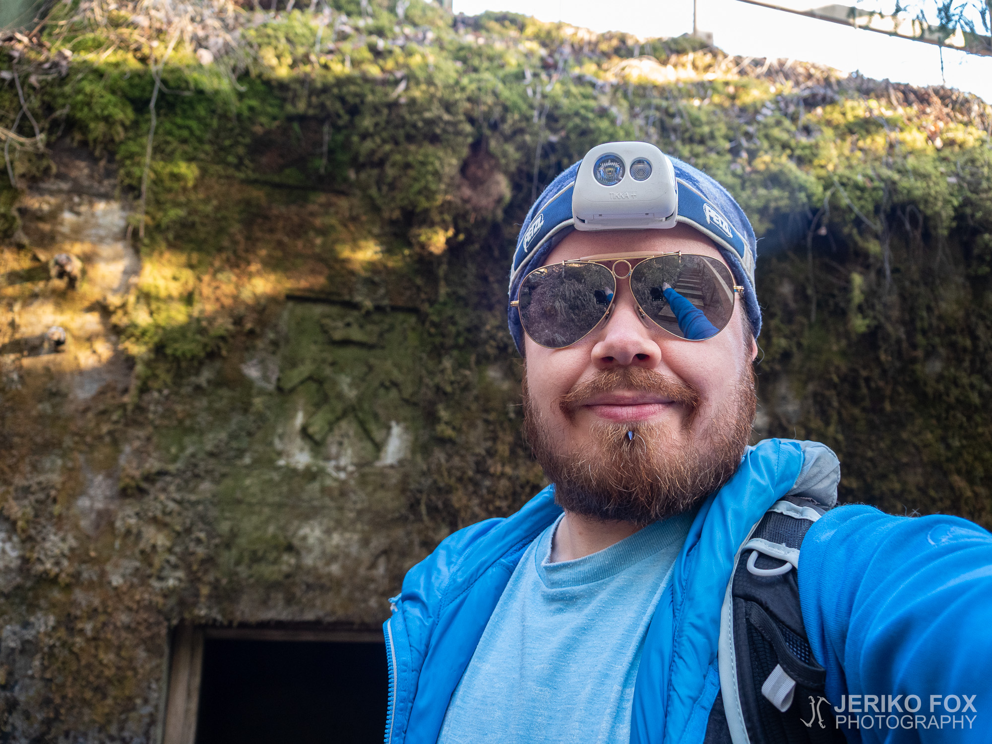
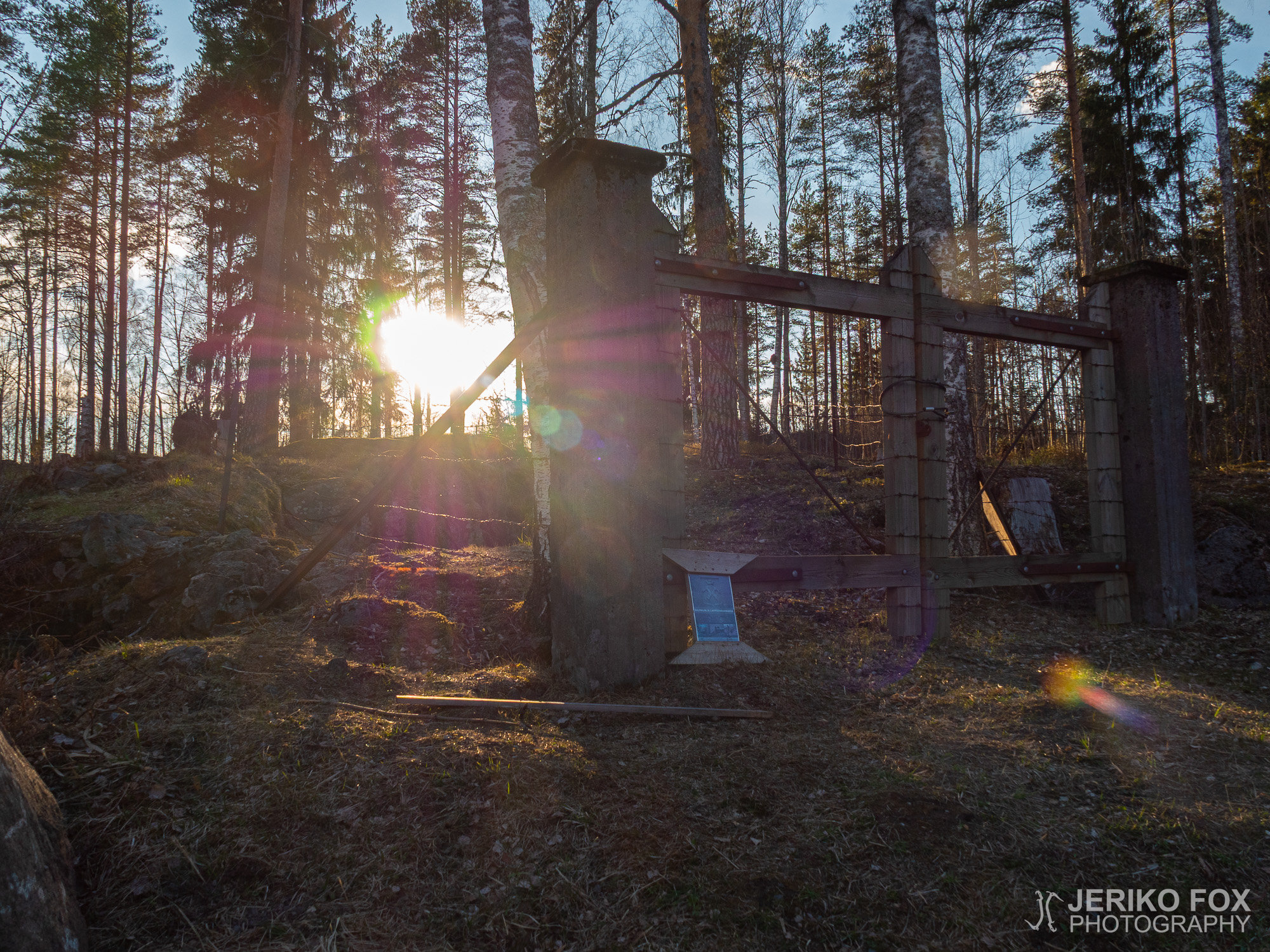
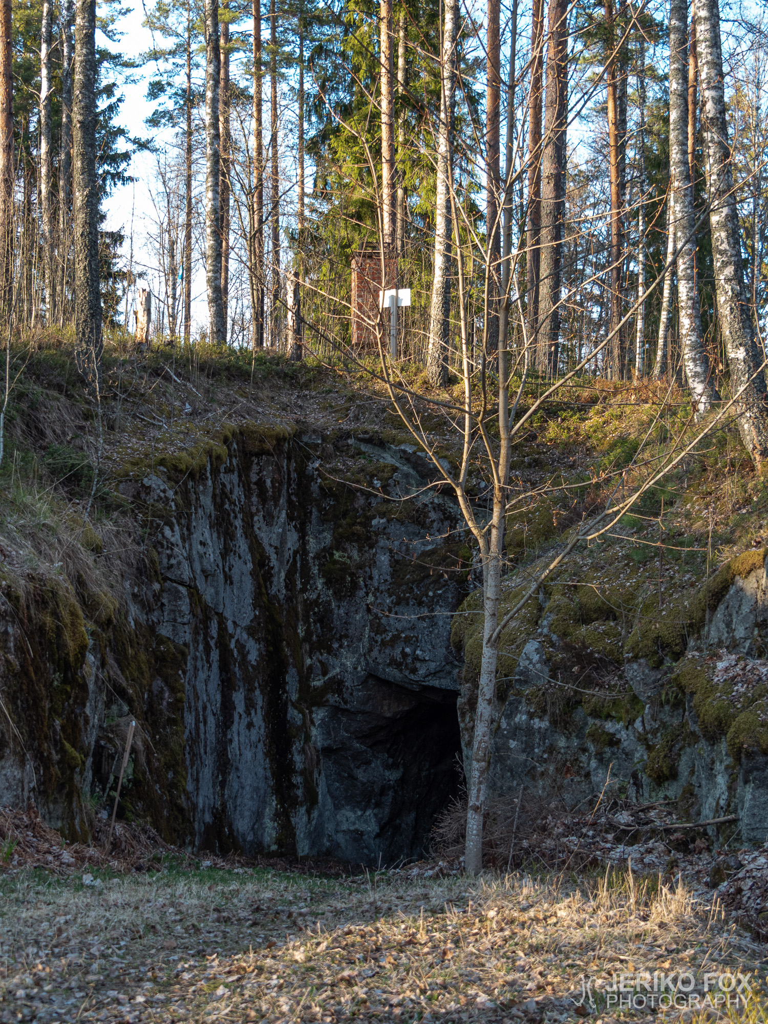
Already when we arrived to the trail I had paid attention of a gated area near the VFD and on our way back to the car we took a closer look. There is a huge cave – part of the Salpalinja – but gates and barbed wire fences are restricting the access. There are also warning signs in the area. (Jukka Siiskonen has written an interesting blog post in Finnish about the cave and there are photos, too.) I was of course excited about the cave, as usual, but getting there would need some special arrangements.
The Rutola Village Trail is a loop trail, hence it returns back to the VFD. Terrain is easy and the trail is well marked, so this is an excellent place for even beginner outdoor people.
Exceptionally this post won’t have a trail map, because my GPX recording app failed to create one. The trailhead can be found from here, though.
Rutolan kylä sijaitsee Lappeenrannan länsipuolella – 6- ja 13-teiden risteyksen tuntumassa. 1800-luvulla kylä muodostui tukinuittoväylän varteen ja sinne perustettiin saha. Nyt tähän historiaan ja alueen viehättäviin maisemiin pääsee tutustumaan Rutolan kyläpolulla, joka alkaa Rutolan VPK:n pihasta. Bonuksena Rutolan läpi kulkee myös Salpalinja, joten polulla on myös bunkkereita.
Aurinkoisena toukokuun päivänä lähdimme siis Ninan kanssa tutkimaan Rutolan kyläpolkua. Reitti on reilun kolmen kilometrin mittainen ja sopii hyvin myös perheille. Auton voi jättää VPK:n pihaan ja siellä on myös nähtävillä reittikartta.
Suurin osa vanhaan sahaan liittyvistä rakennuksista on tuhoutunut, mutta niiden raunioita löytyy pitkin metsää. Polun varrelle on pystytetty luontopolkujen tapaan kylttejä, jotka kertovat tarkemmin rakennuksista ja elämästä sahalla.
Reitti kulkee suurelta osin hiekkateitä pitkin, mutta kääntyy hetkittäin myös metsäpolulle. Kiinnostavin nähtävyys sahan osalta oli itse sahan rauniot, jotka sammaloituneina kiviröykkiöinä ovat myös varsin valokuvaukselliset valon siivilöityessä hienovaraisesti kuusikon läpi.
Polku tulee Saimaan rantaan Lapatonniemen kärjessä, jossa on paikallisten venepaikkoja. Mikään ei varmaan estäisi uimastakaan täällä, vaikka paikka ei virallinen uimaranta olekaan.
Paluumatkalla reitti tulee Vanhalle Mikkelintielle, jonka varressa sijaitsevat Salpalinjan bunkkerit. Näitä varten kannattaa olla otsalamppu mukana (ja muutenkin se on hyvä varuste pitää aina mukana, vaikka ei olisikaan menossa yön yli retkelle), jos haluaa mennä pimeisiin bunkkereihin.
Jo tullessamme olin kiinnittänyt huomiota VPK:n lähellä olevaan aidattuun alueeseen ja autolle palatessamme kävimme tutkimassa sitä tarkemmin. Kallioon on nimittäin louhittu Salpalinjaan kuuluva valtava miehistöluola, mutta pääsy sinne on estetty aidoin ja portein. Alueella on myös sortumisvaarasta varoittavia kylttejä. (Jukka Siiskonen on kirjoittanut luolasta kiinnostavan blogitekstin, jossa on myös kuvia luolasta.) Luolien ystävänä paikka tietenkin kiinnostaisi, mutta sinne pääsy vaatisi erityisjärjestelyjä.
Rutolan kyläpolku tekee luupin ja palaa siis takaisin VPK:lle. Maasto on helppoa ja reitti on hyvin merkitty, joten tämä on erinomainen kohde aloittelevallekin ulkoilijalle.
Poikkeuksellisesti tässä postauksessa ei ole reittikarttaa, koska GPX-tallentimeeni tuli jonkinlainen vika retken aikana. Reitin alku löytyy joka tapauksessa täältä.