
Mammut Klettersteig Route C
The first sunny day in Zermatt we decided to climb something fun and laid-back, since...
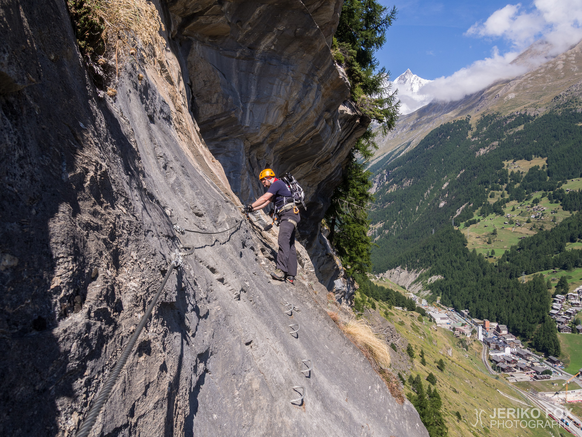
The first sunny day in Zermatt we decided to climb something fun and laid-back, since...
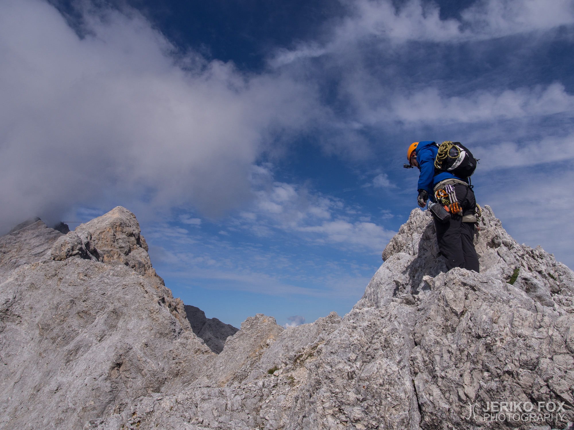
I woke up at 6 am, at the sunrise, and told Dima to wake up...
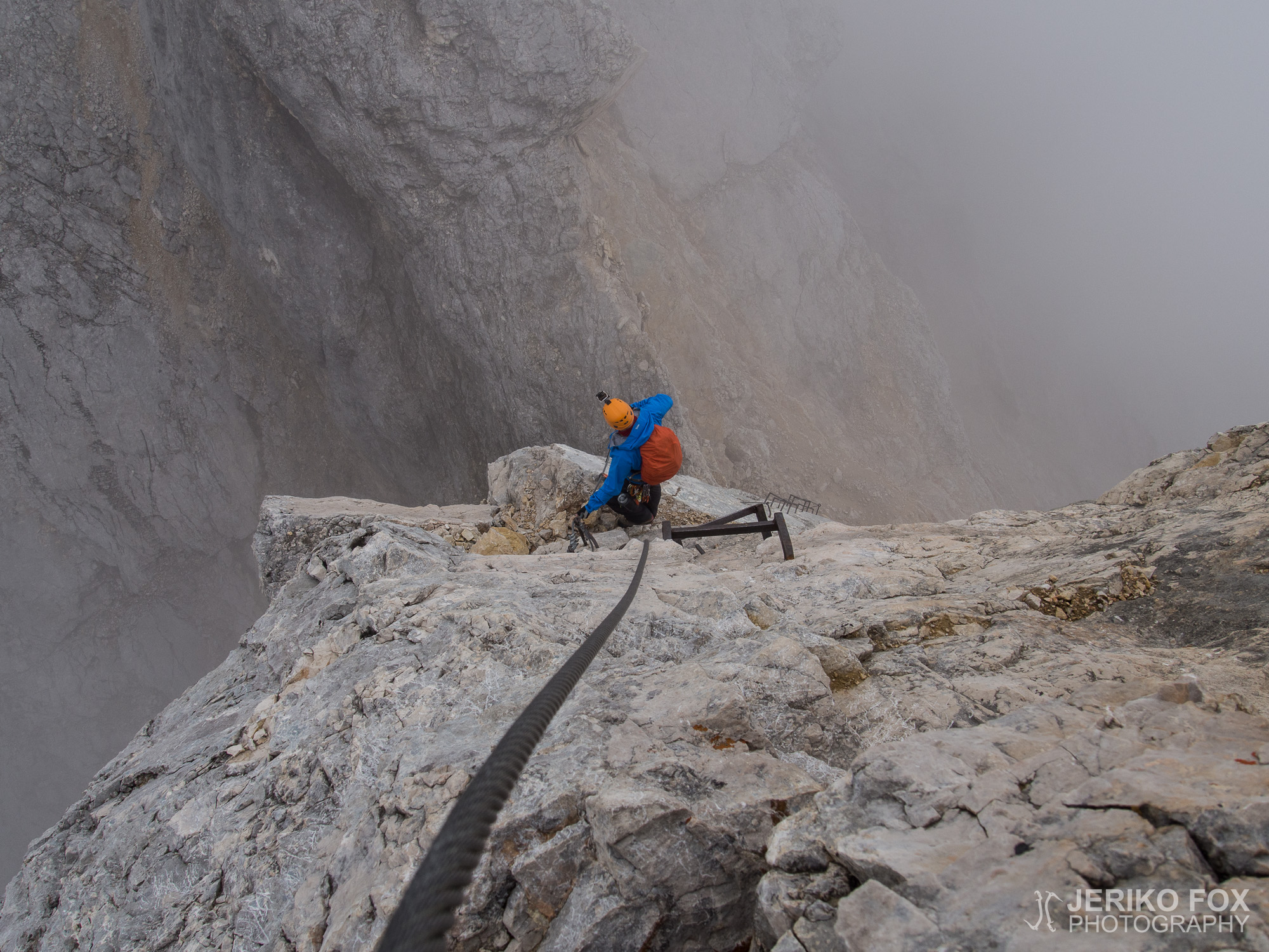
Elevation: 2962 mProminence: 1746 mLocation: Garmisch-Partenkirchen/Grainau, Bavaria, GermanyRange: Wetterstein Zugspitze in SummitPost Climb Fox and Dima...