
15,94 km (9.9 miles)
Pyyhinlampi, Virolahti
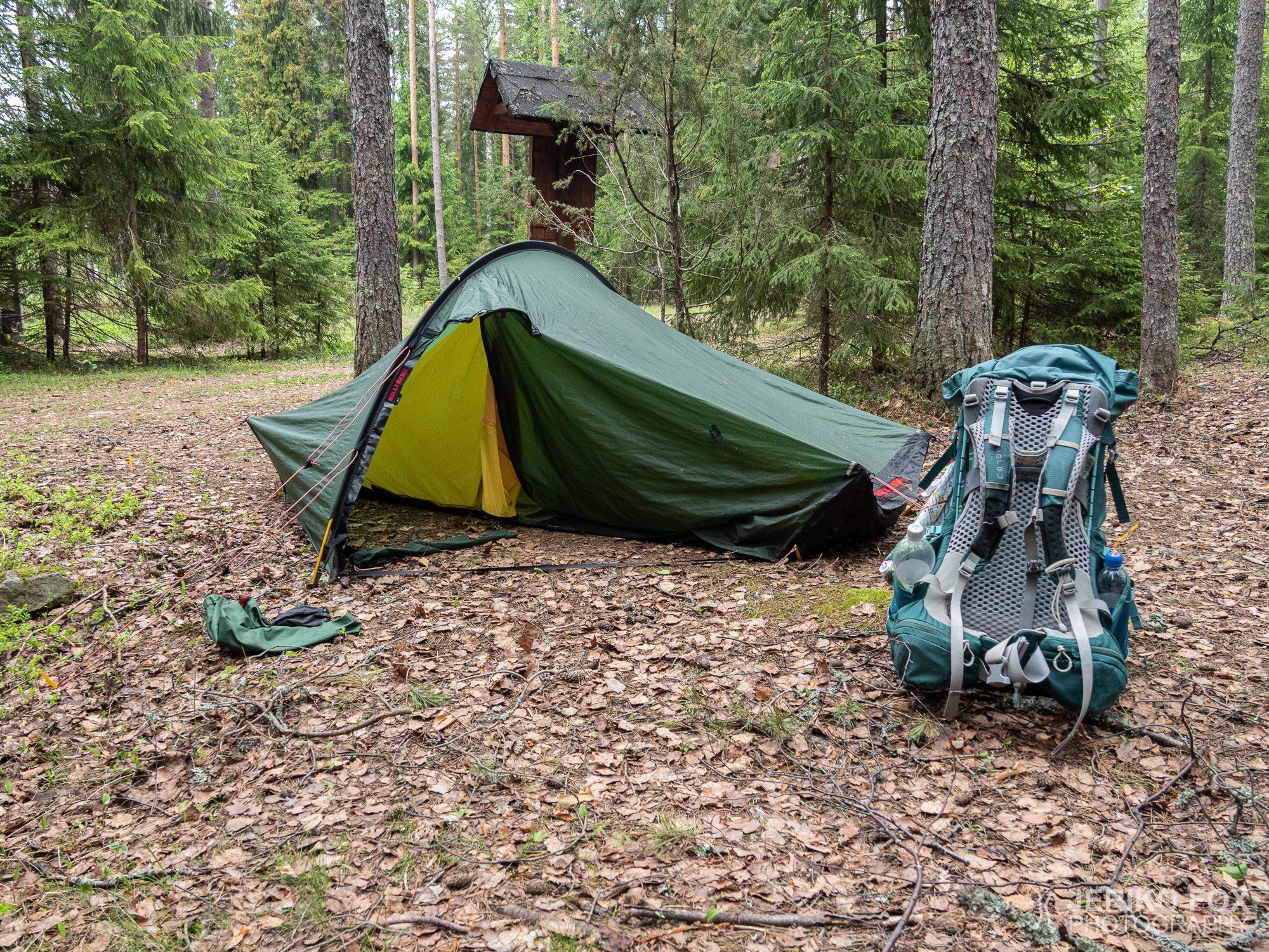
I woke up into a fresh May morning after the Estonians had already left. I was once again soaking in solitude and ready to hike on once I had my morning duties done. There hadn’t been really inviting water sources on the trail so far, but I had carried more water than usually. I had pondered that at least at the Virolahti Bunker Museum there had to be something to fill up my water with.
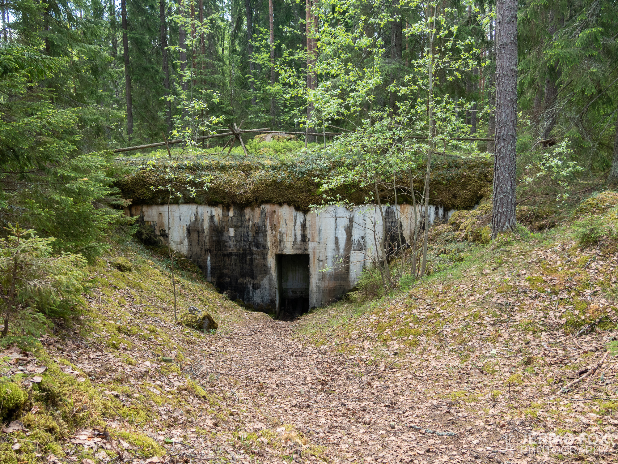
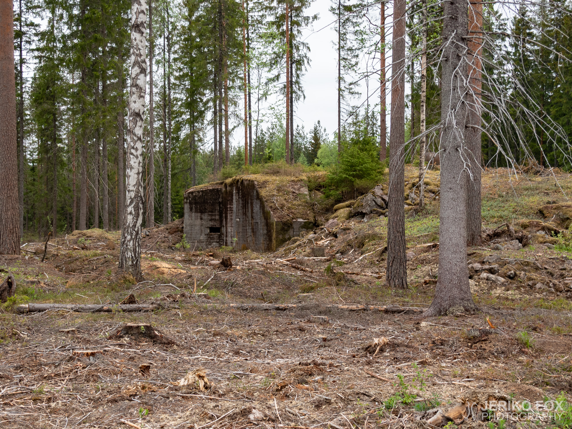
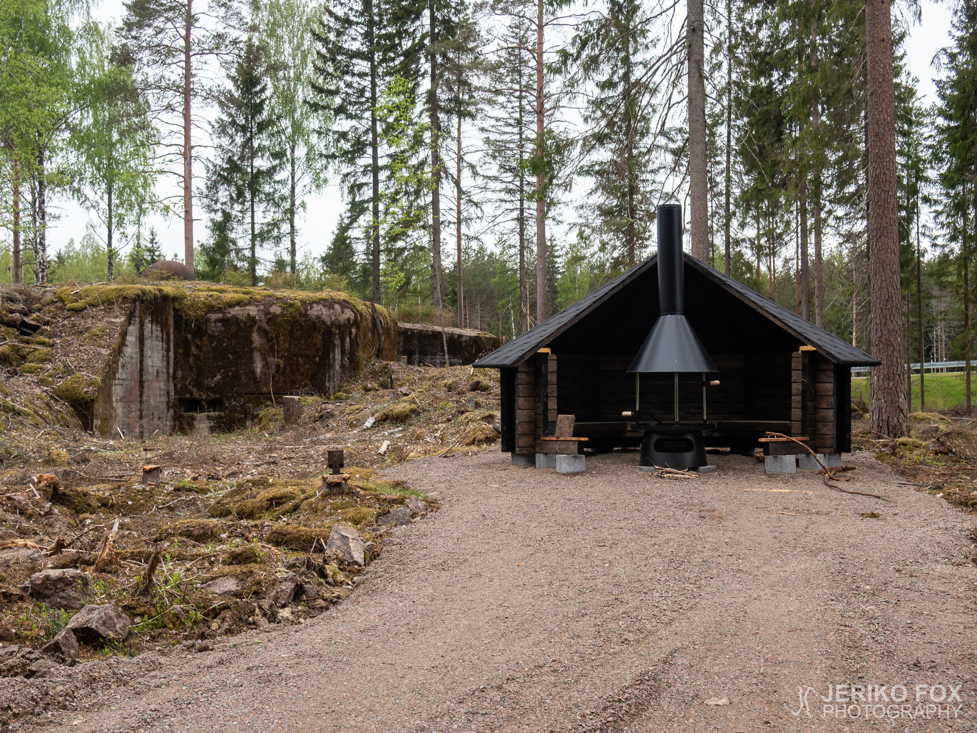
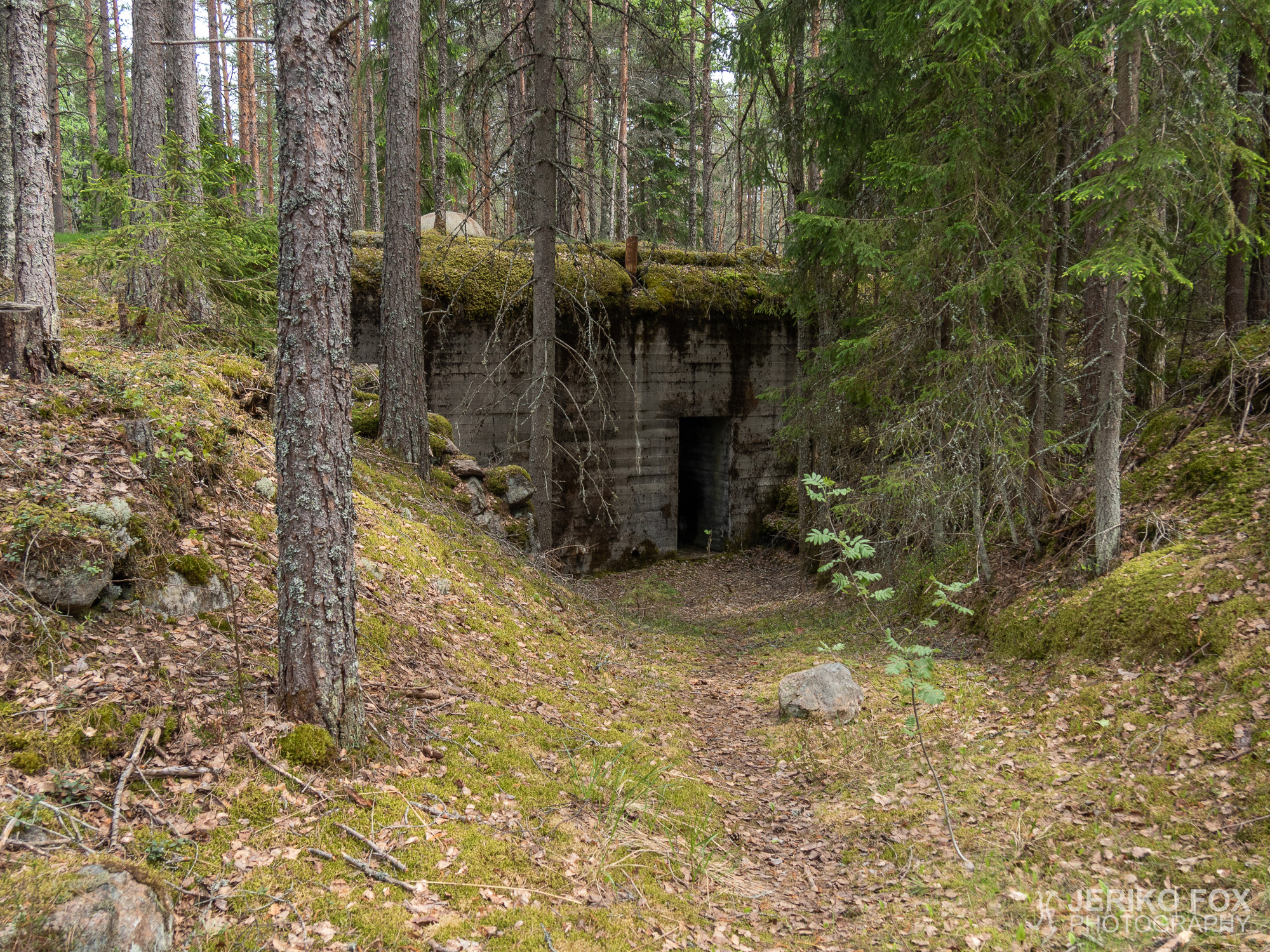
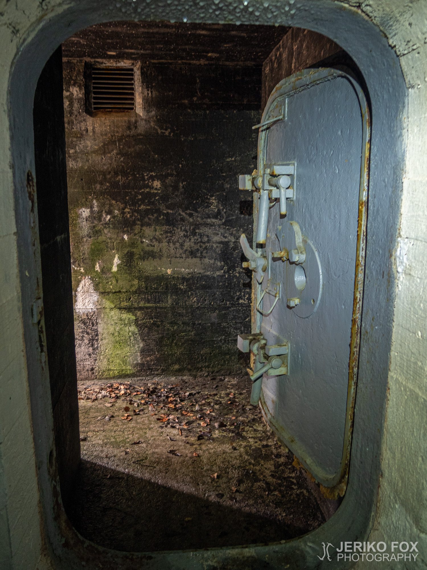
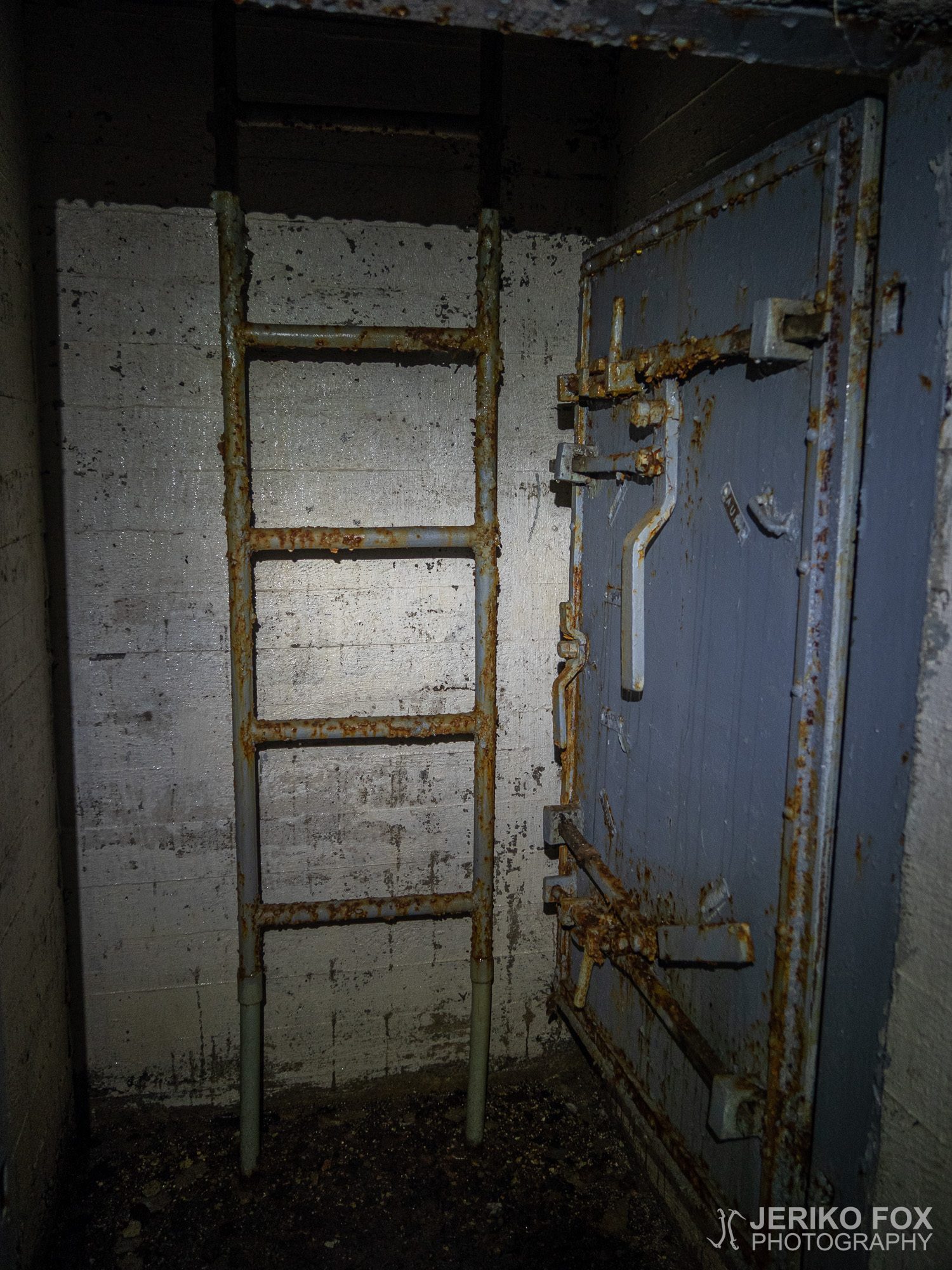
The first bunker of the day was actually right next to the Matsu lean-to. A sign said that there might be water on the floor, but except for the small room that had the ladders up to the shooting place the bunker was dry. The water there was so clear that I was nearly tempted to use it. Though I was not that desperate that I would have taken water from a non-flowing puddle.
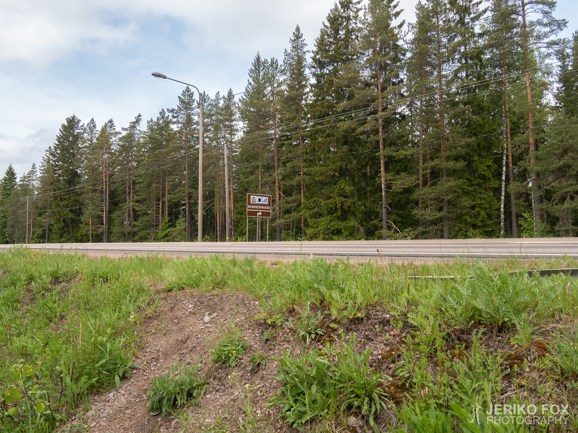
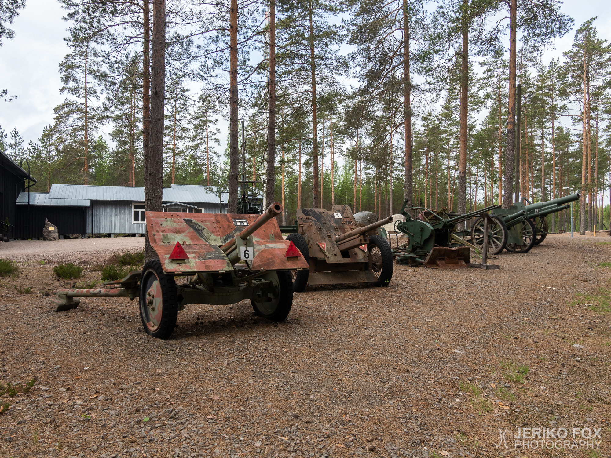
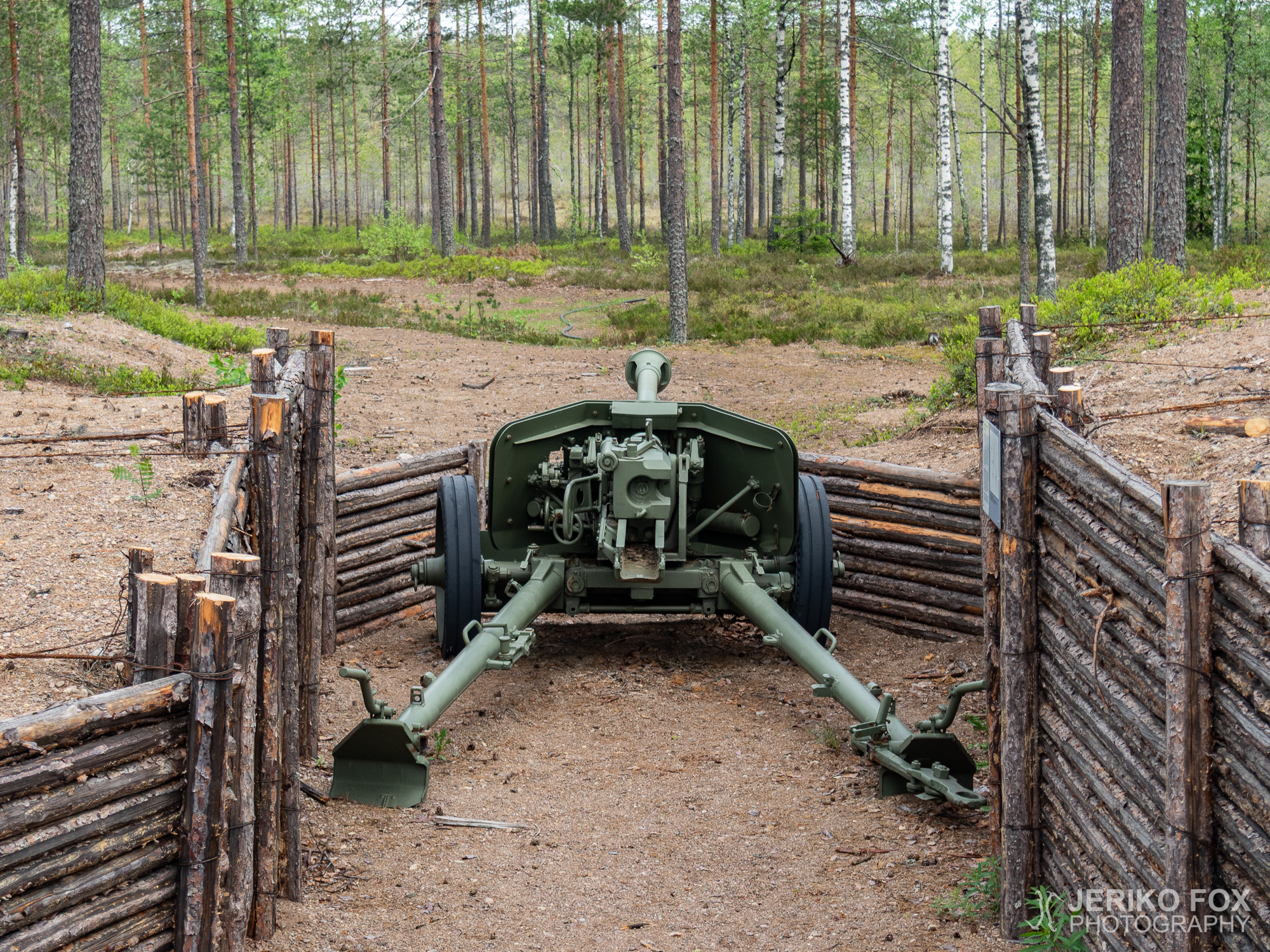
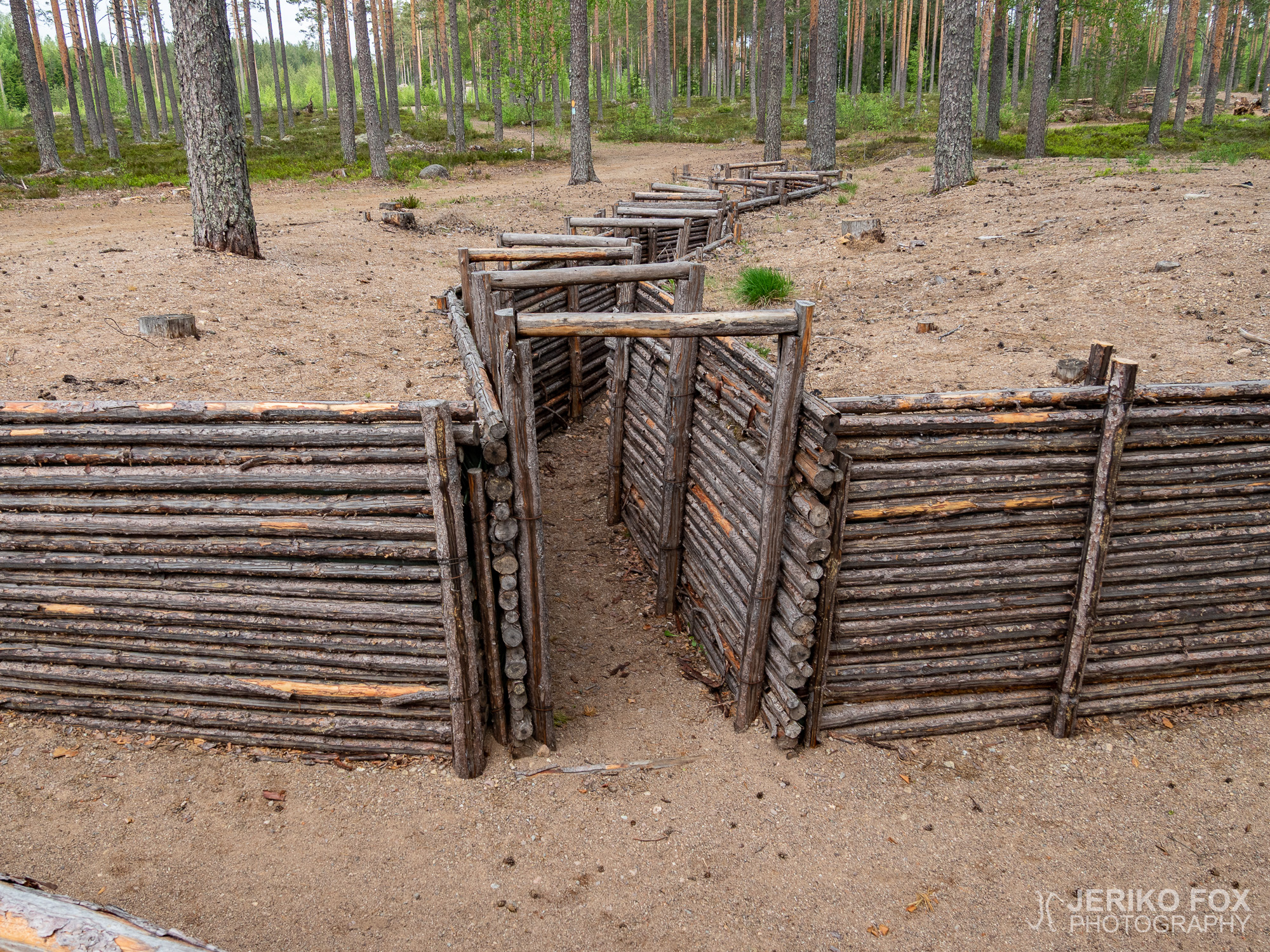
The Virolahti Bunker Museum is only a 1,5 km (about 1 mi) walk from the Matsu lean-to. I suspected that the museum wouldn’t be open, because it wasn’t summer season yet. Anyway I found out from the sign at their door that the museum was about to open within an hour. But I was unwilling to wait. From the wall I found a water faucet and got my bottles filled as planned. The trail turns to right at the museum and once again this turn is not really indicated. So, I had to look for a while to find out where the trail is going. Outside the museum there are some cannons, a trench and also one bunker.
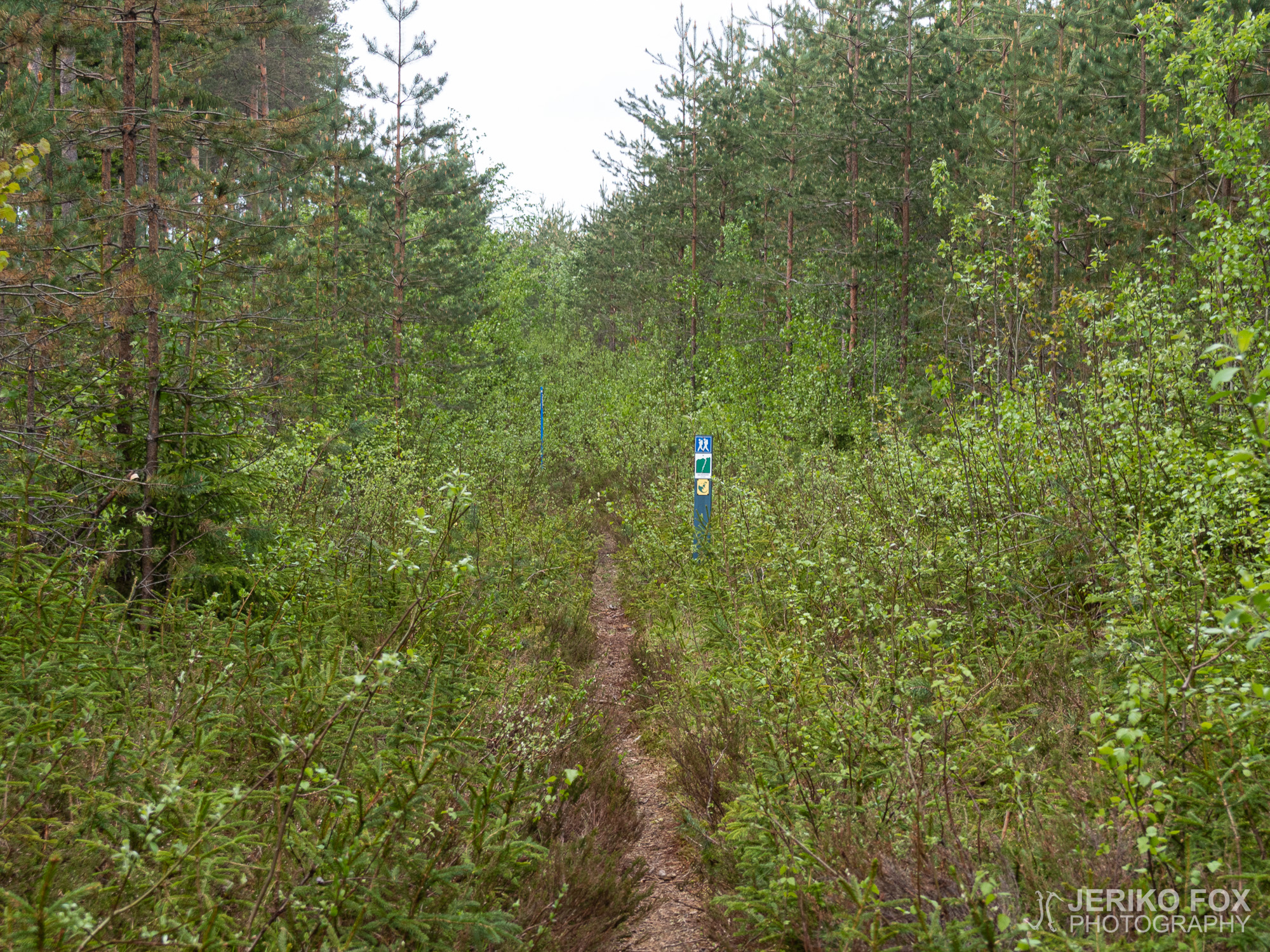
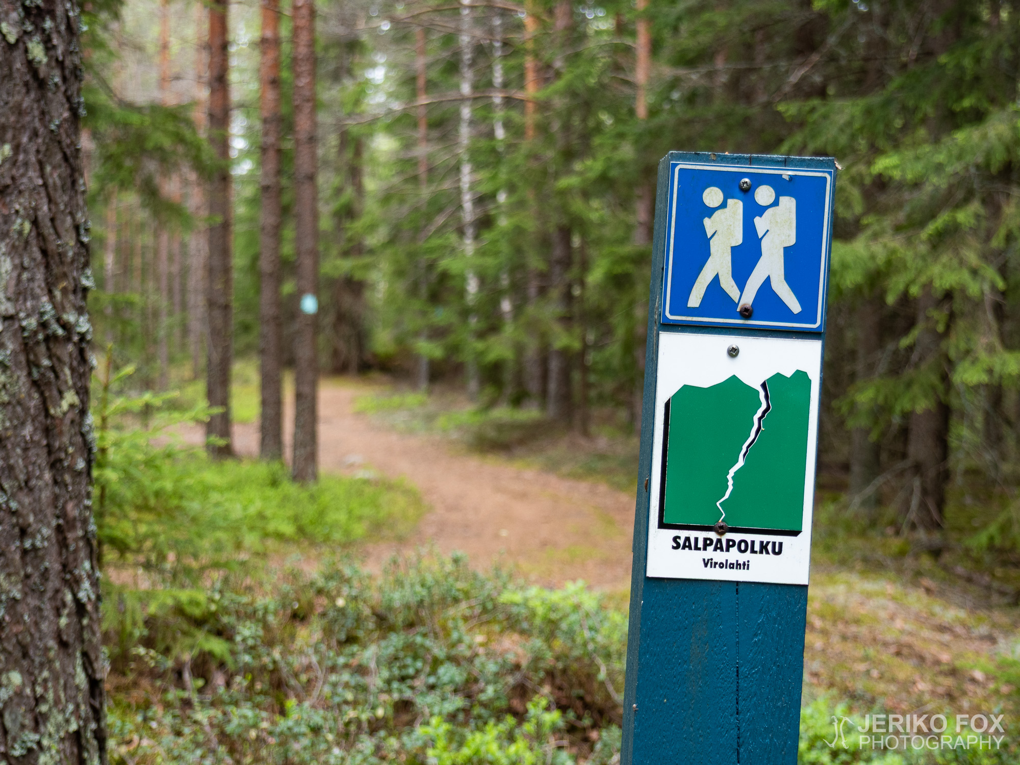
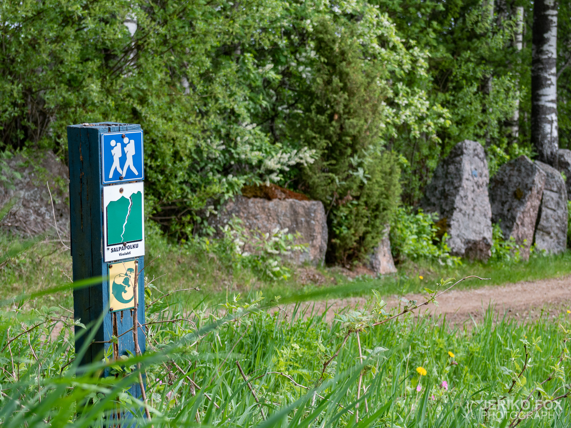
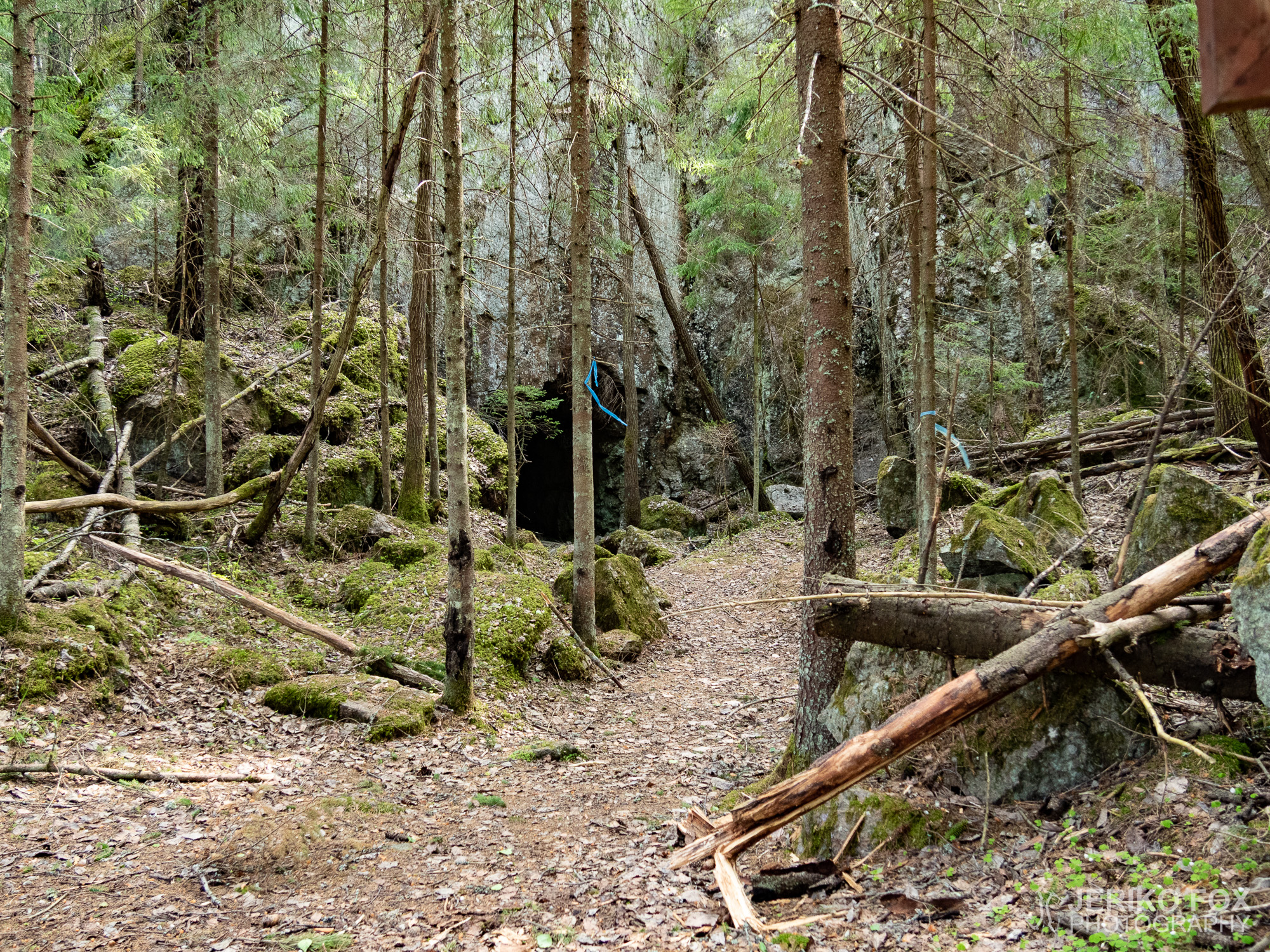
Once I had found the trail and left the museum behind there was suddenly trail markers galore. It was utterly ridiculous – every tree on the both sides of the trail had a dark blue blaze. And because from the museum started another trail, there were light blue blazes on every tree as well. I would have loved to spread these blazes a bit more evenly on the whole trail.
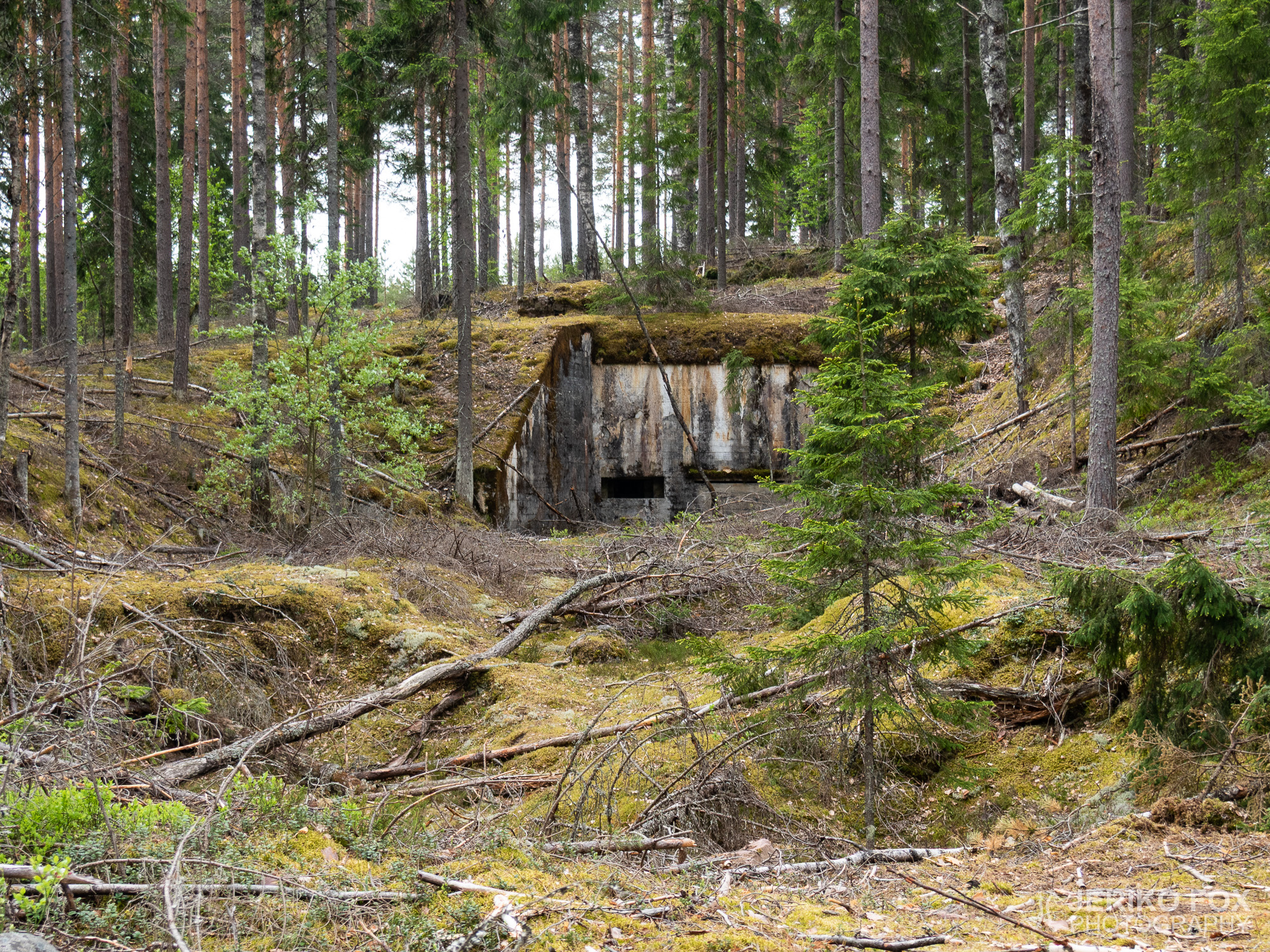
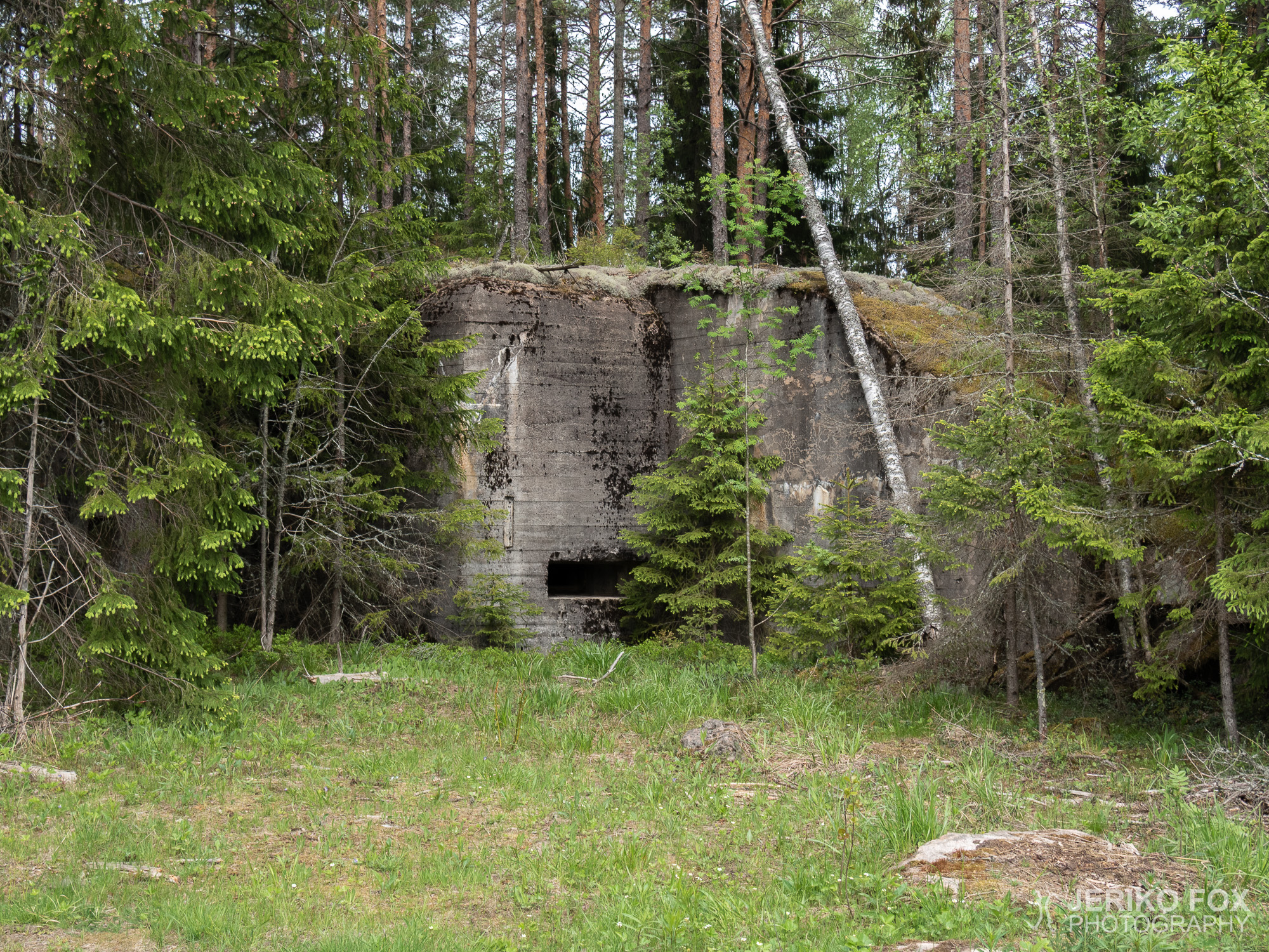
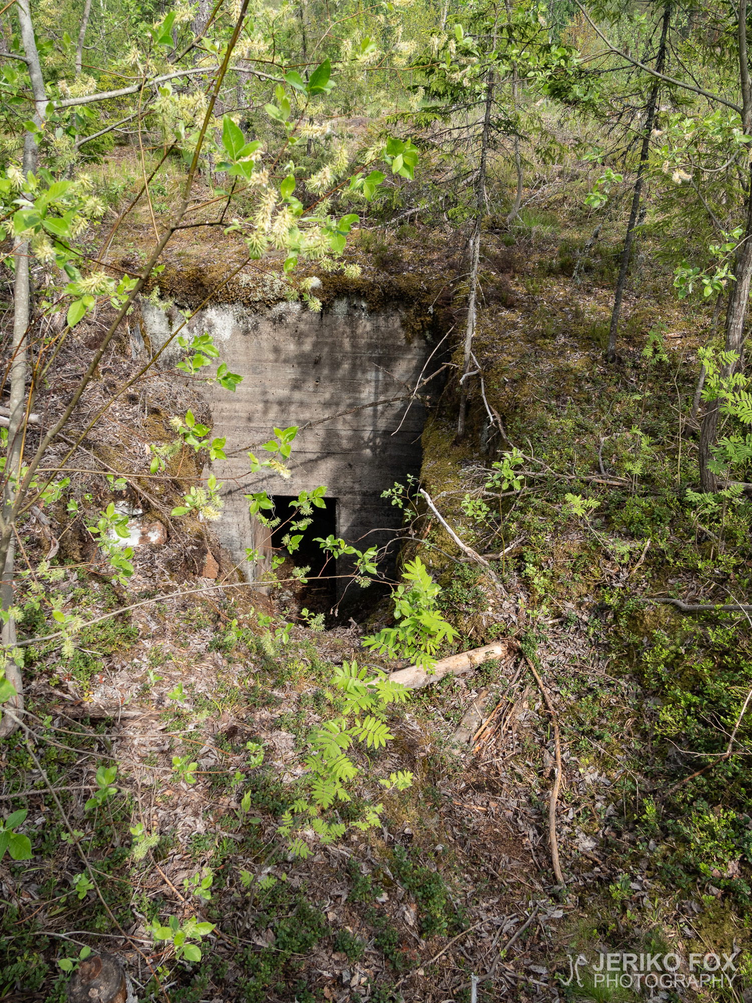
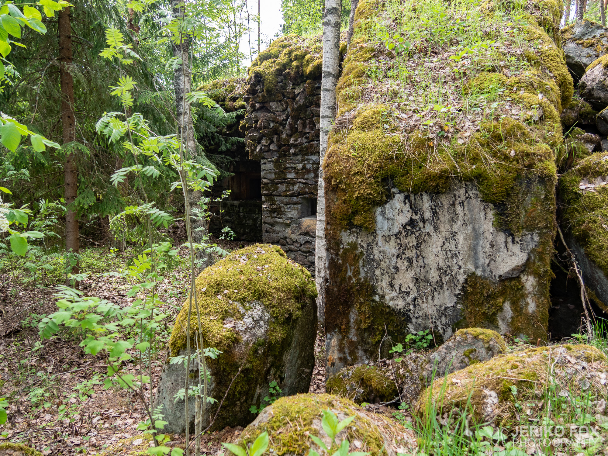
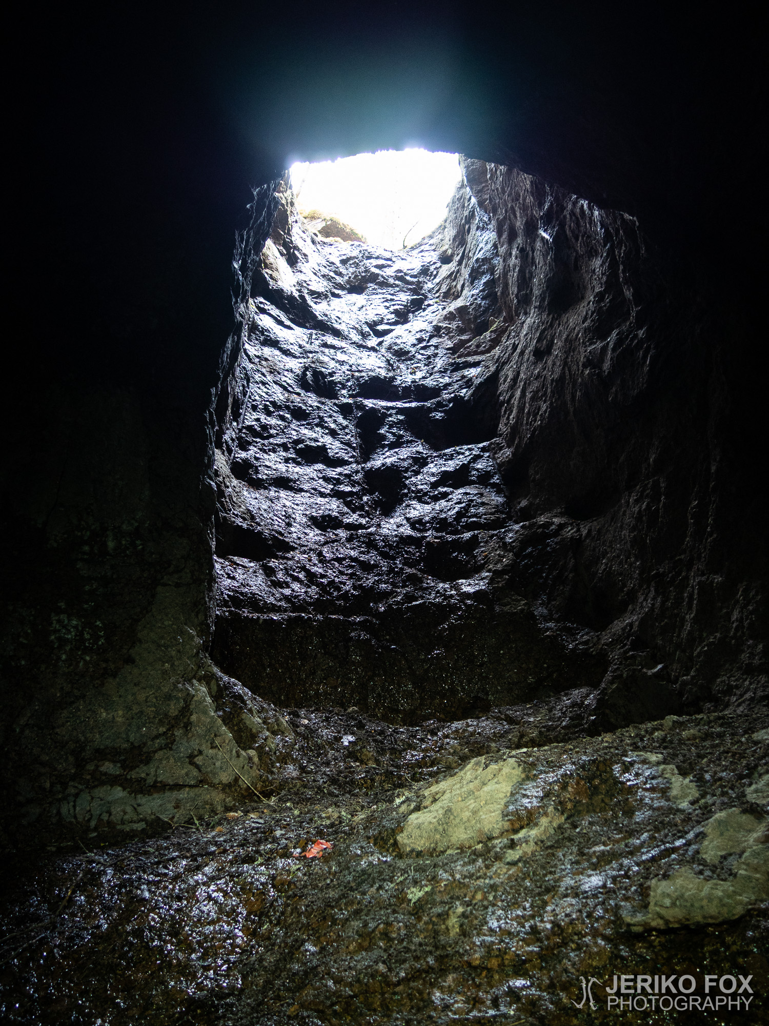
Along the Salpapolku there are far more bunkers than what was in my map. And I didn’t visit every single one. One I found when I was walking on its roof. I circled it and climbed down, but didn’t find any entrance. I suspected that it had buried underneath a pile of rocks.
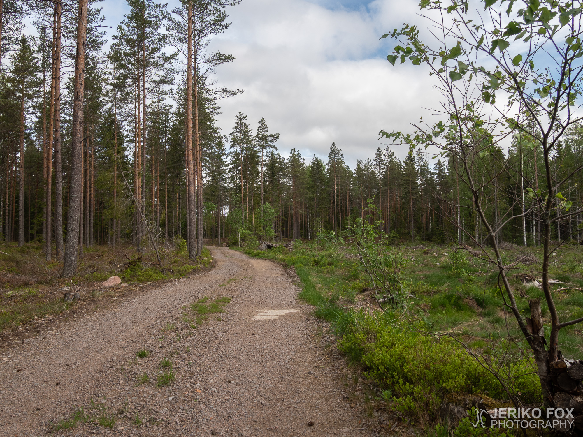
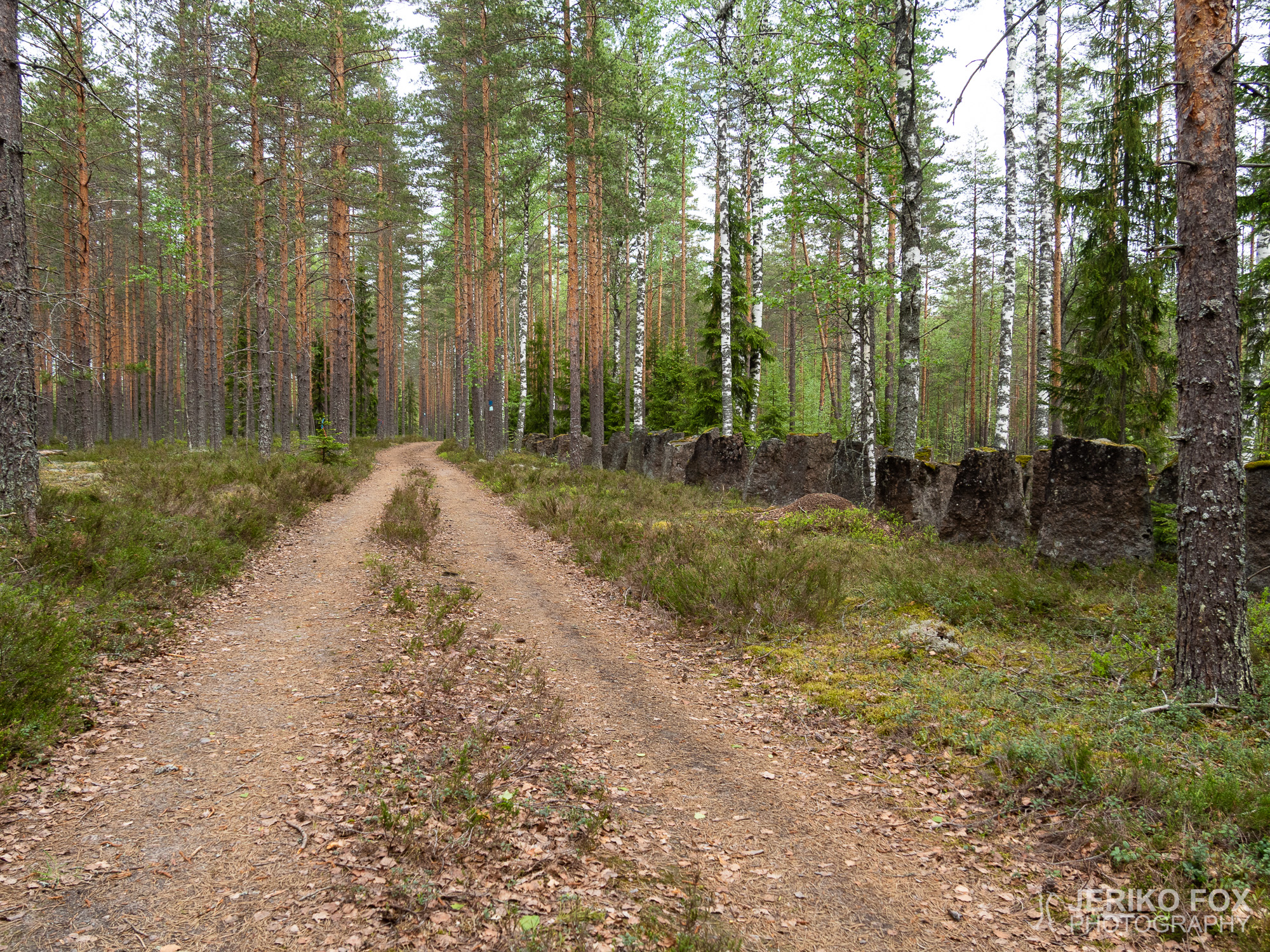
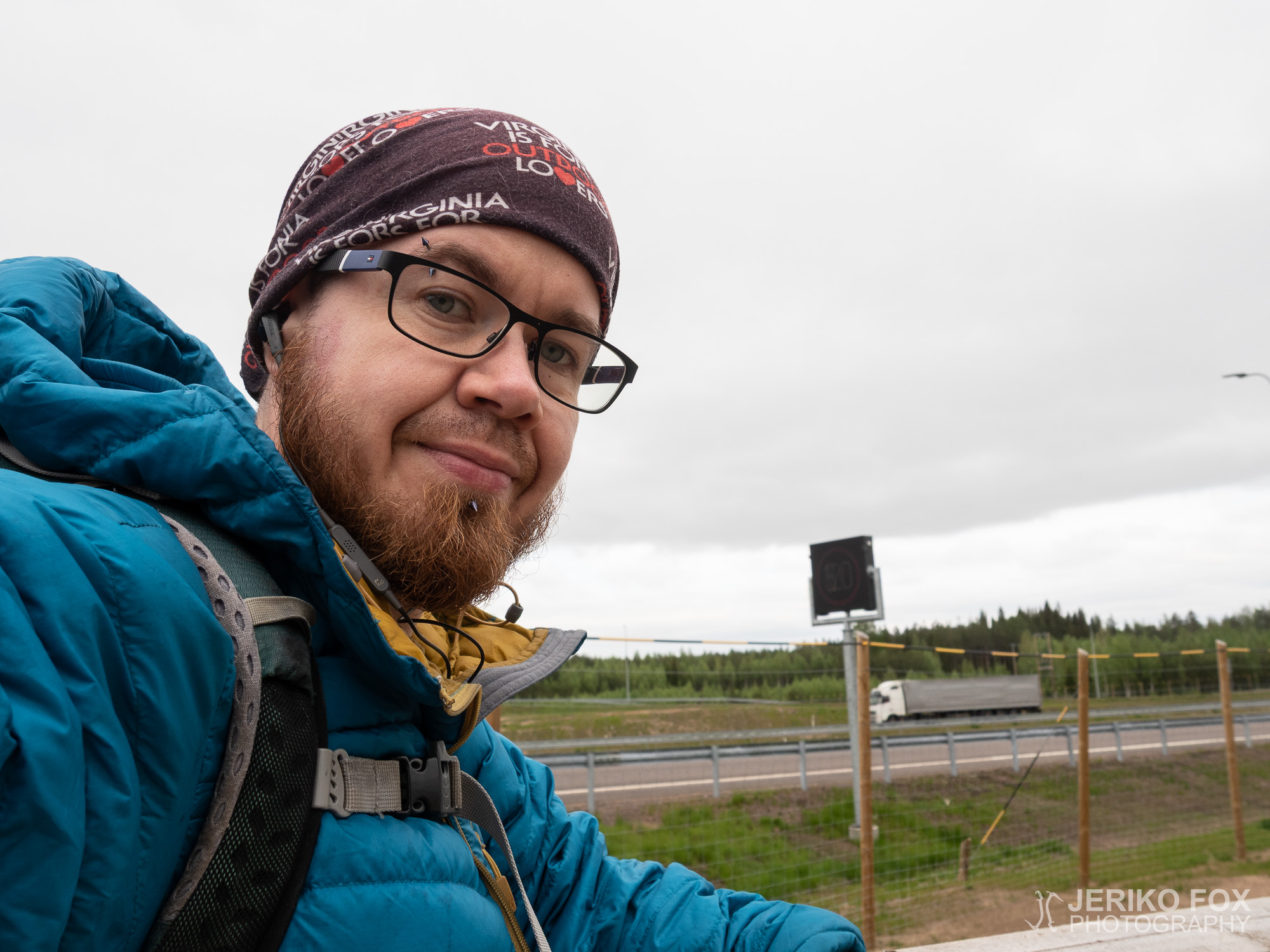
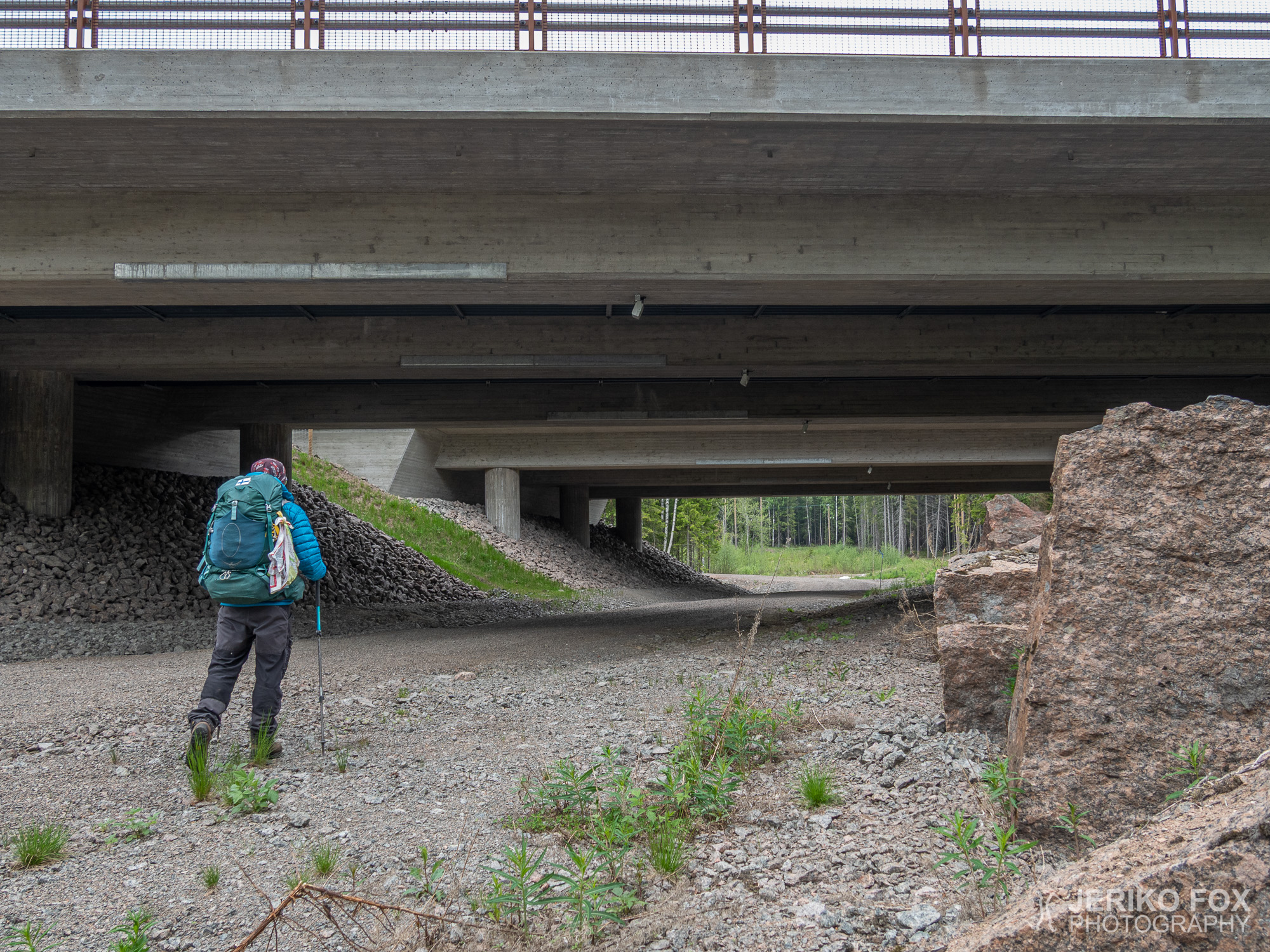
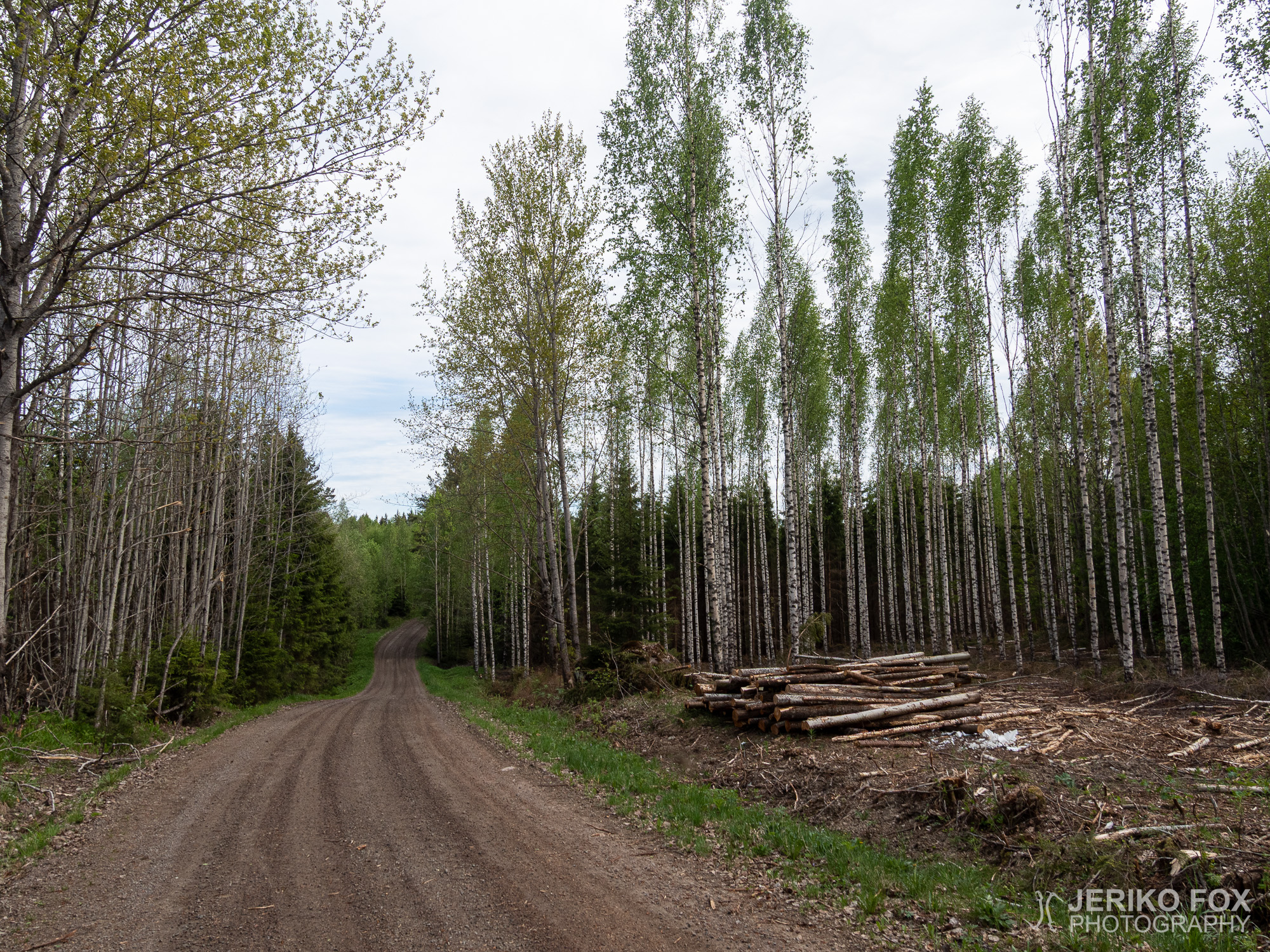
Most of the Salpapolku is not actually trail, but the route often runs along dirt and forest roads. And of course every once in a while there is a trail. Less than two hours after I started I arrived to a highway, when Salpapolku was crossing the Route 7. Fortunately there was no need to run across the highway – I just followed a dirt road that took me beneath the Route 7.
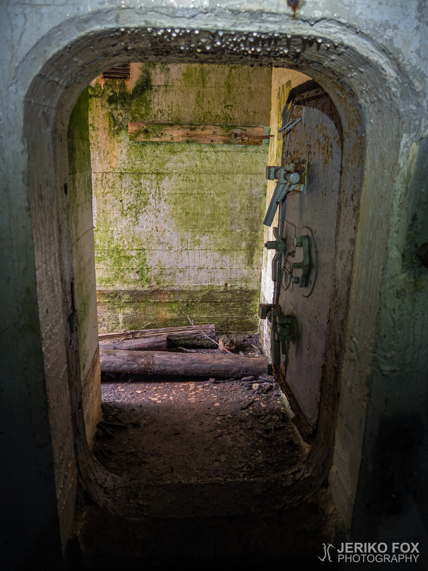
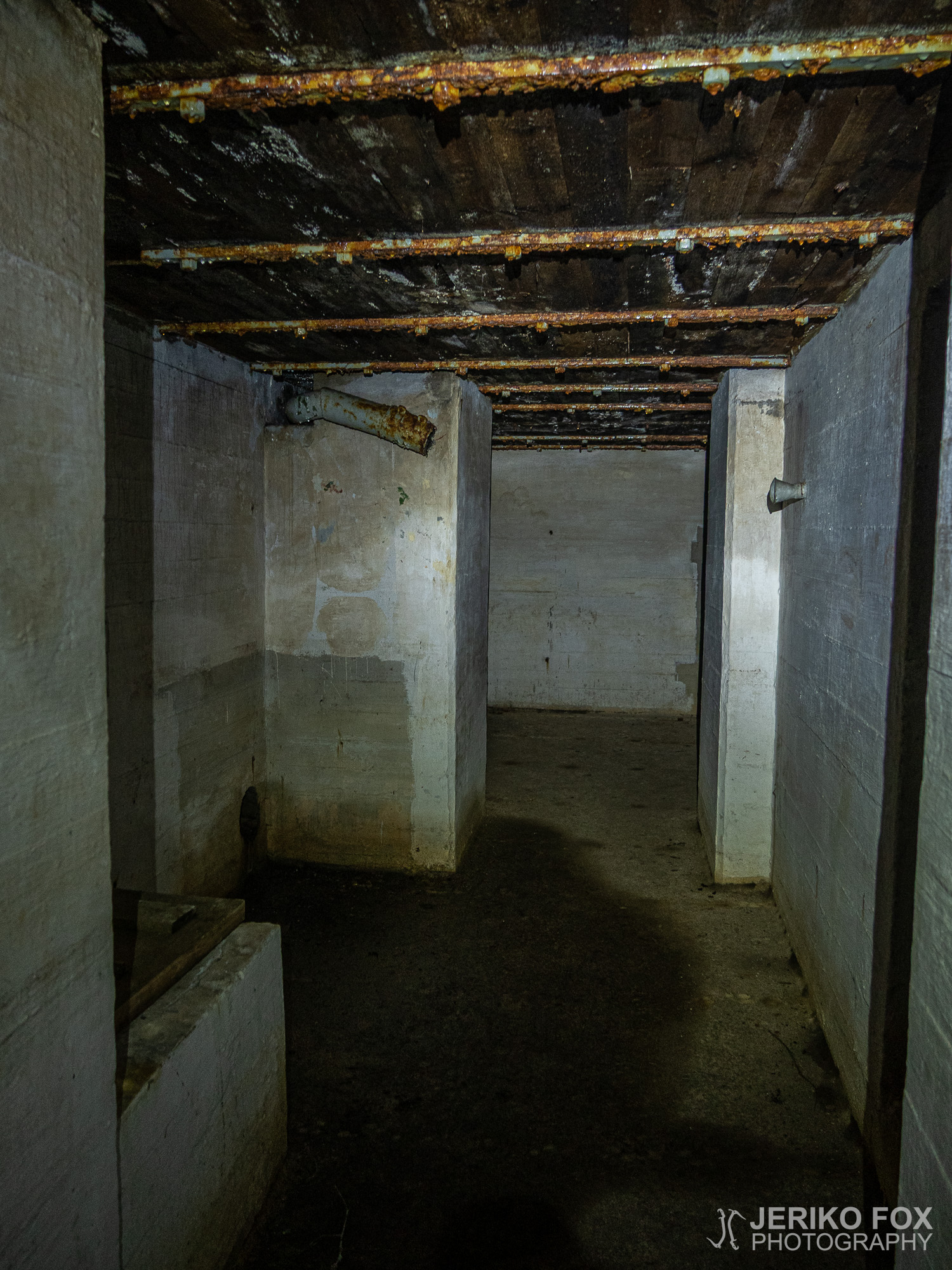
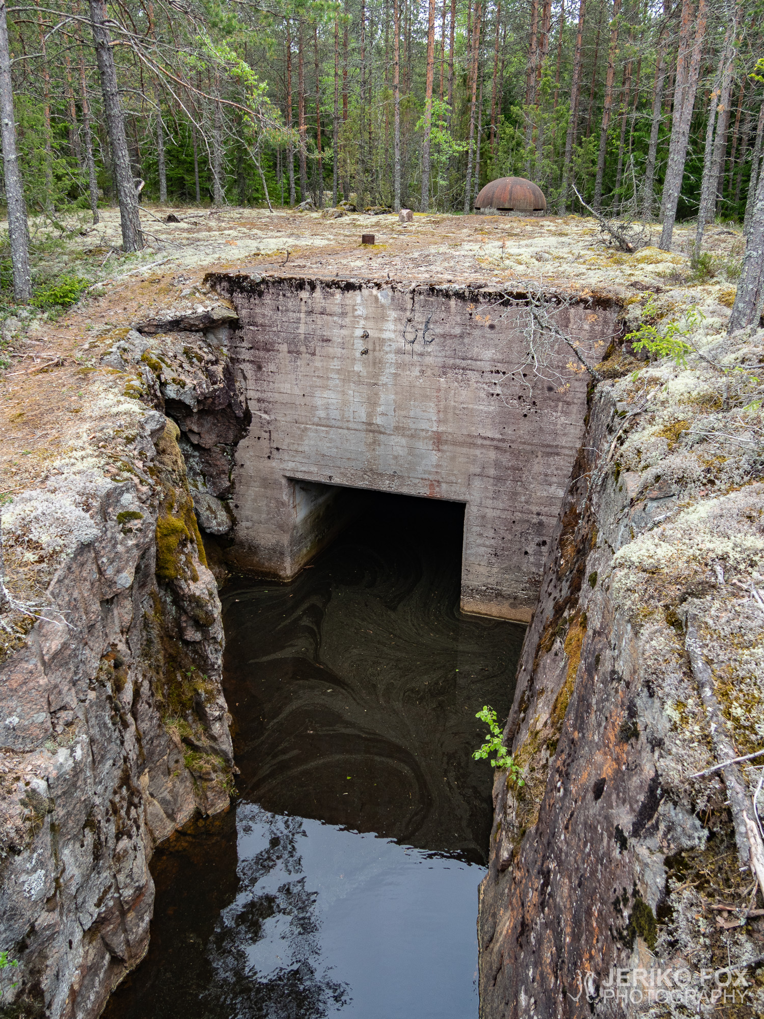
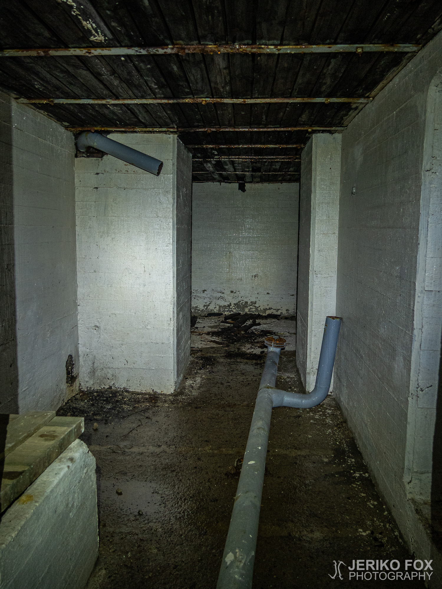
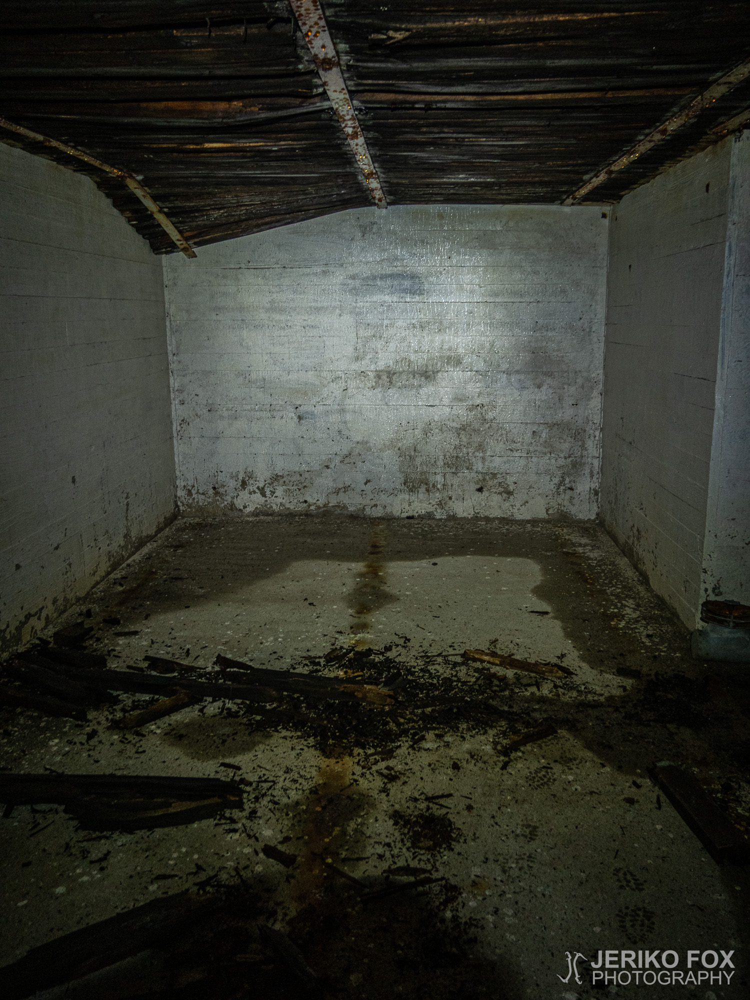
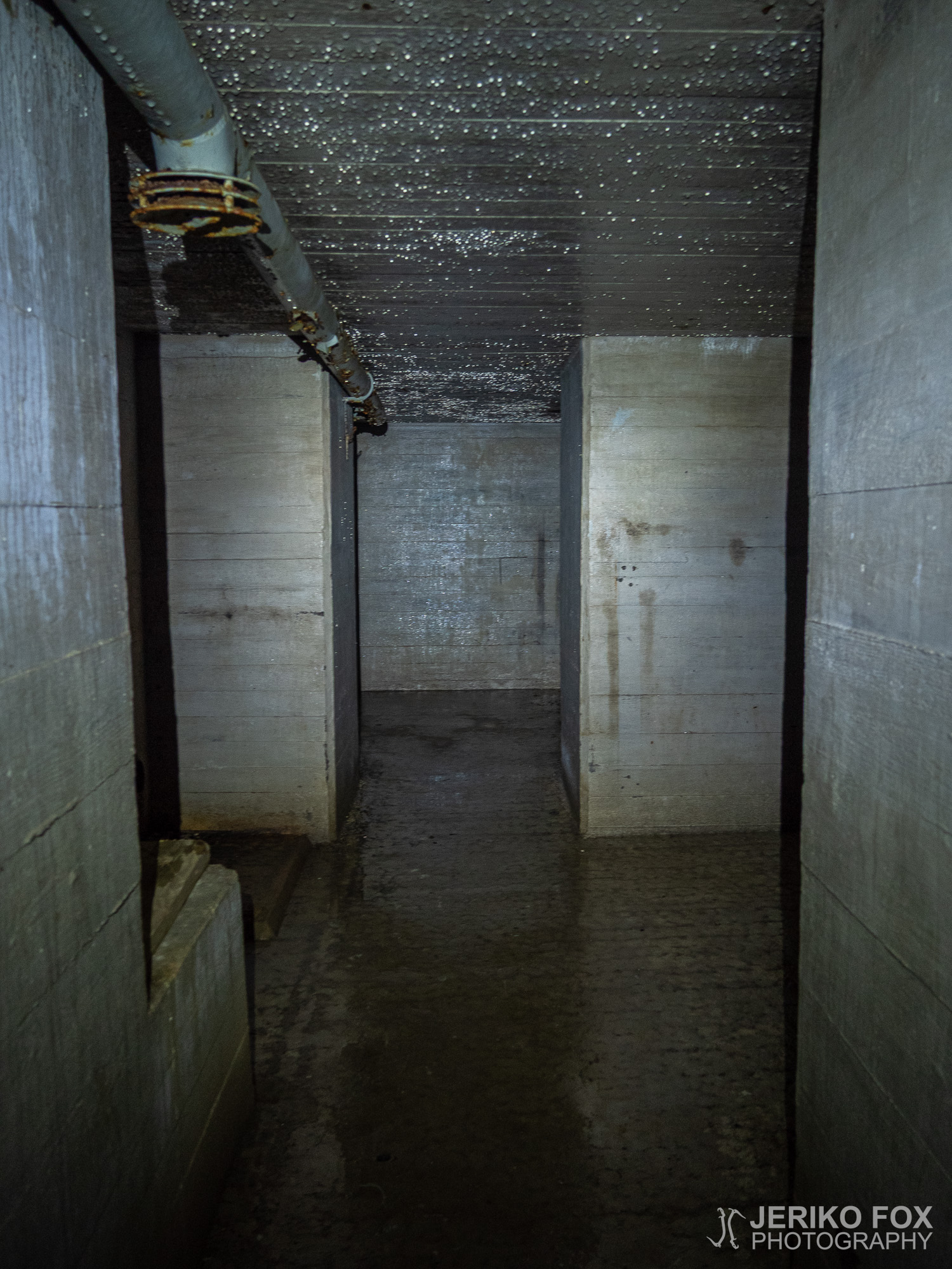
The next bunker had an exceptional wood panelled ceiling. It made the space less echoing, but looked like it might fall down at any moment. Some parts of it actually already had – as well as the pipes that had been hanging from the ceiling. This bunker like some others had deep shafts. I didn’t know if these were supposed to be toilets or wells (some had water on the bottom).
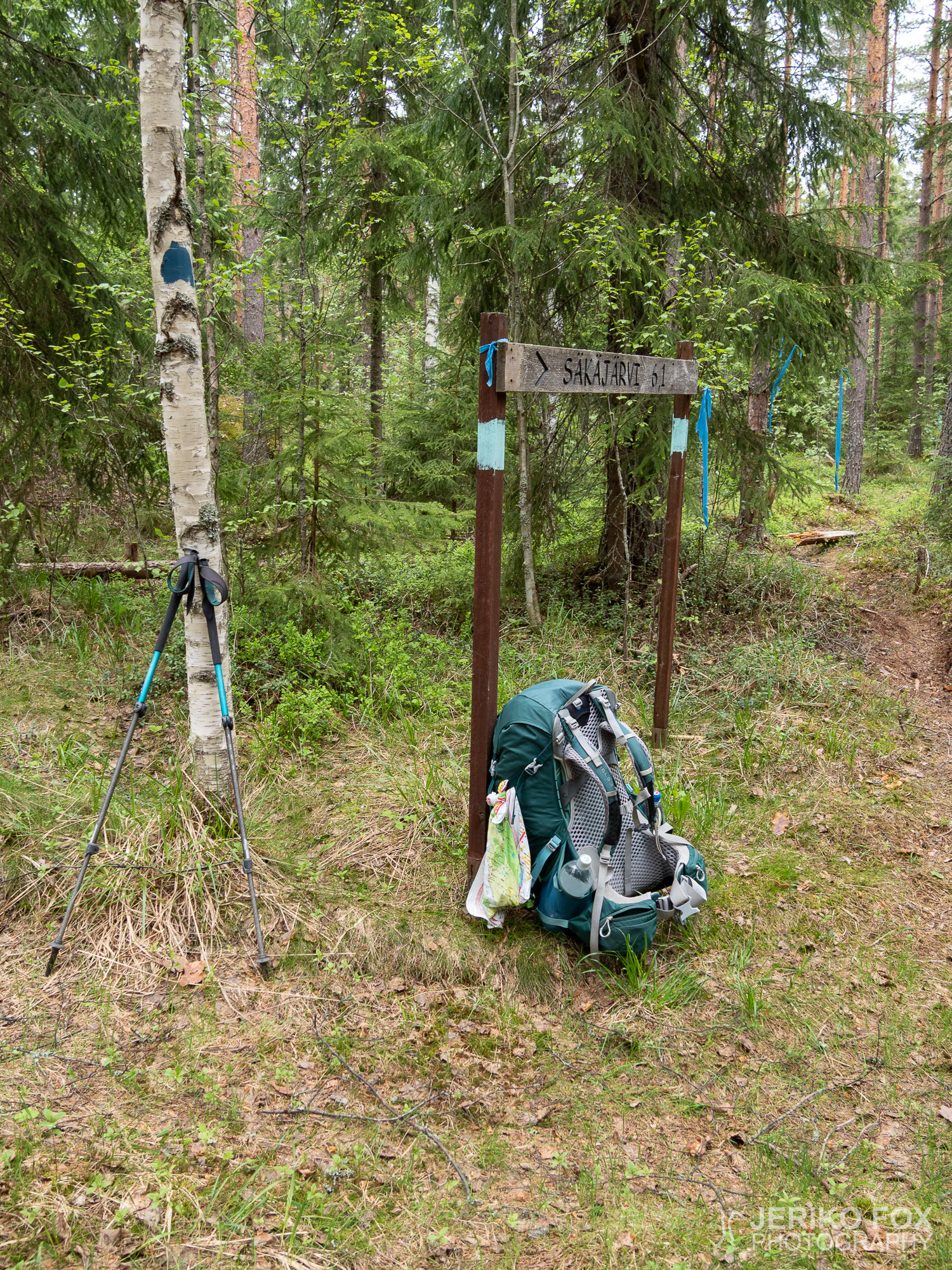
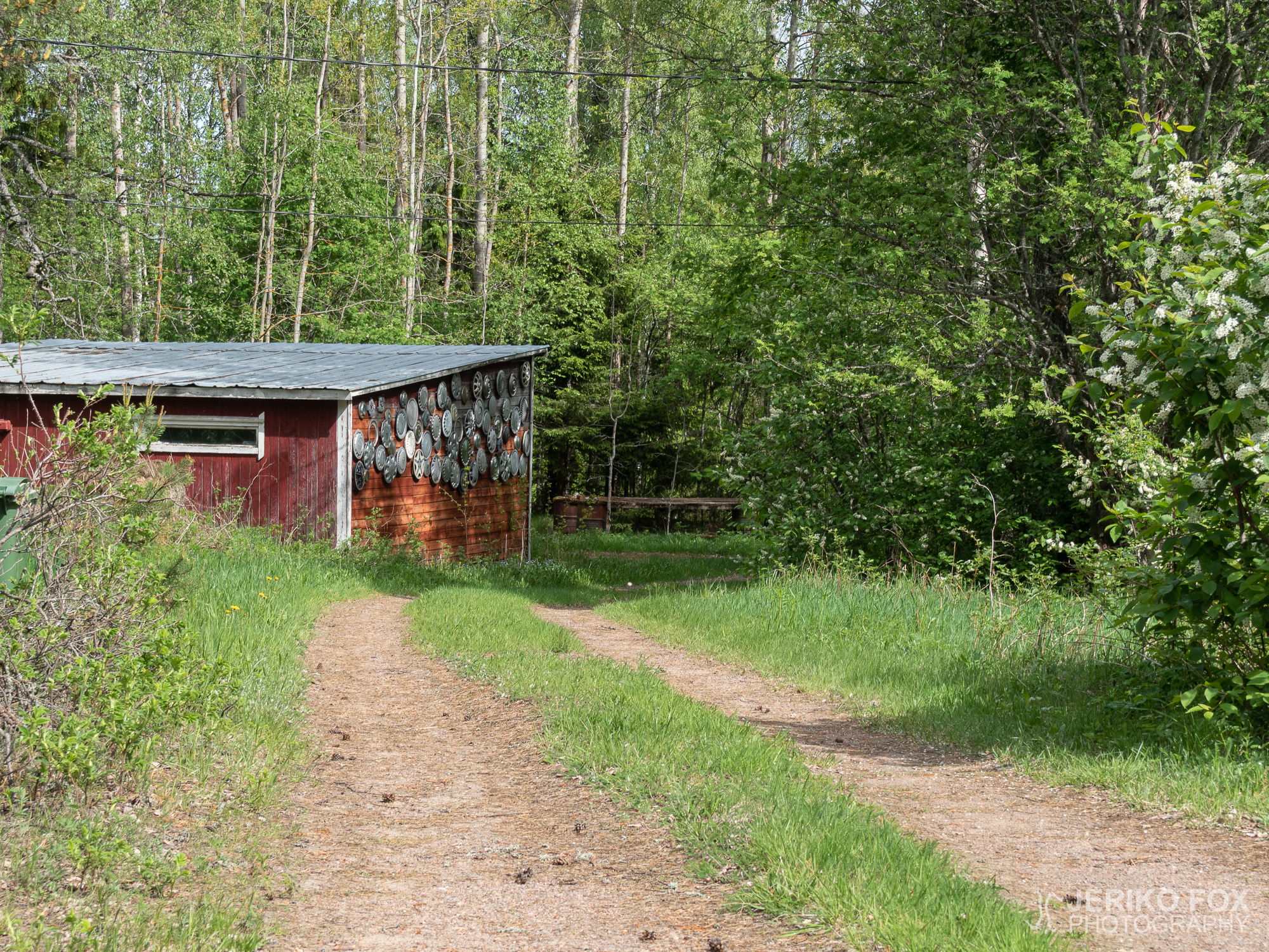
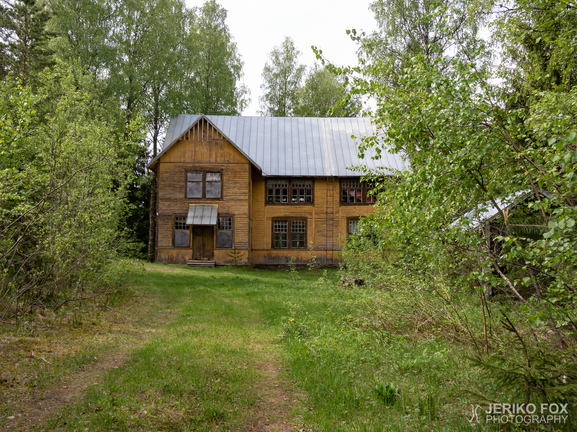
I had a short lunch break at the Säkäjärventie, where the blue blazes continued into a forest road. I thought that I was following the trail here, but actually I ended up taking a (short) loop trail to the abandoned Säkäjärvi hall. For some reason I didn’t try if the doors were open. Anyway the front yard is a great place to stay a night: there is plenty of good tent spots, a privy and a fire pit.
Did I mention the unclear way signs? Well, there was more. When Mässelinmäki intersected with Patasalmentie the blue post on the left side of the road gave me the idea that the trail would turn left. But no. There you have to turn right, even though the plaque on the opposite site of the post is facing to people coming from the “wrong direction”.
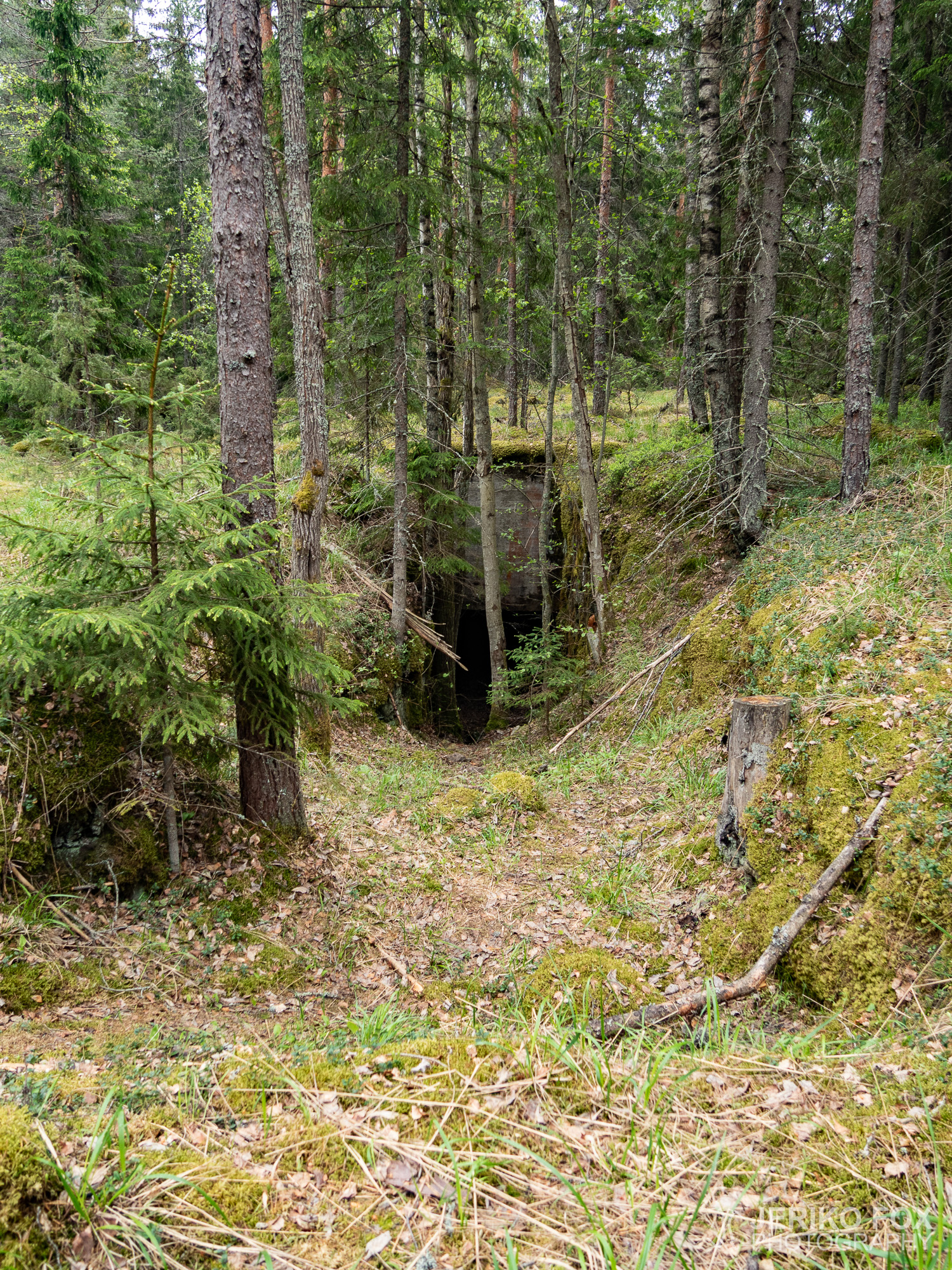
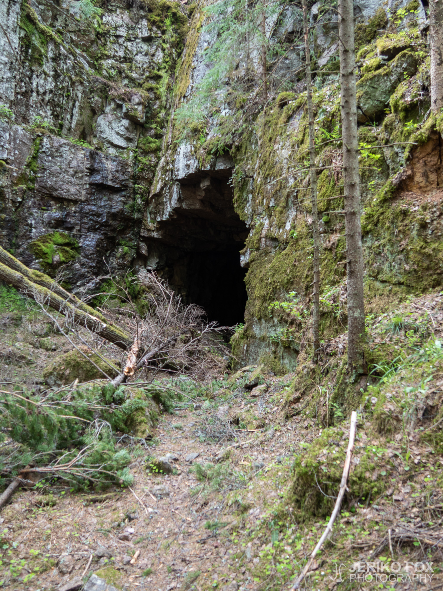
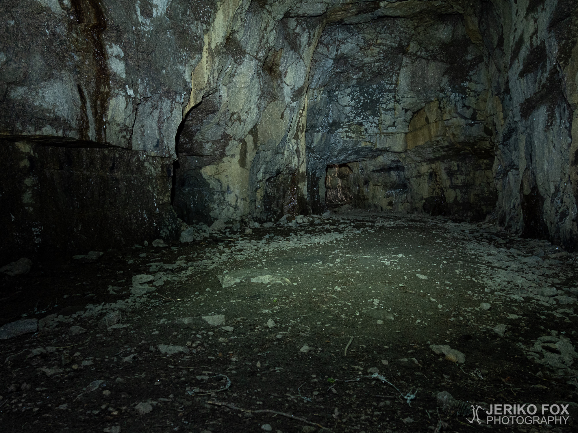
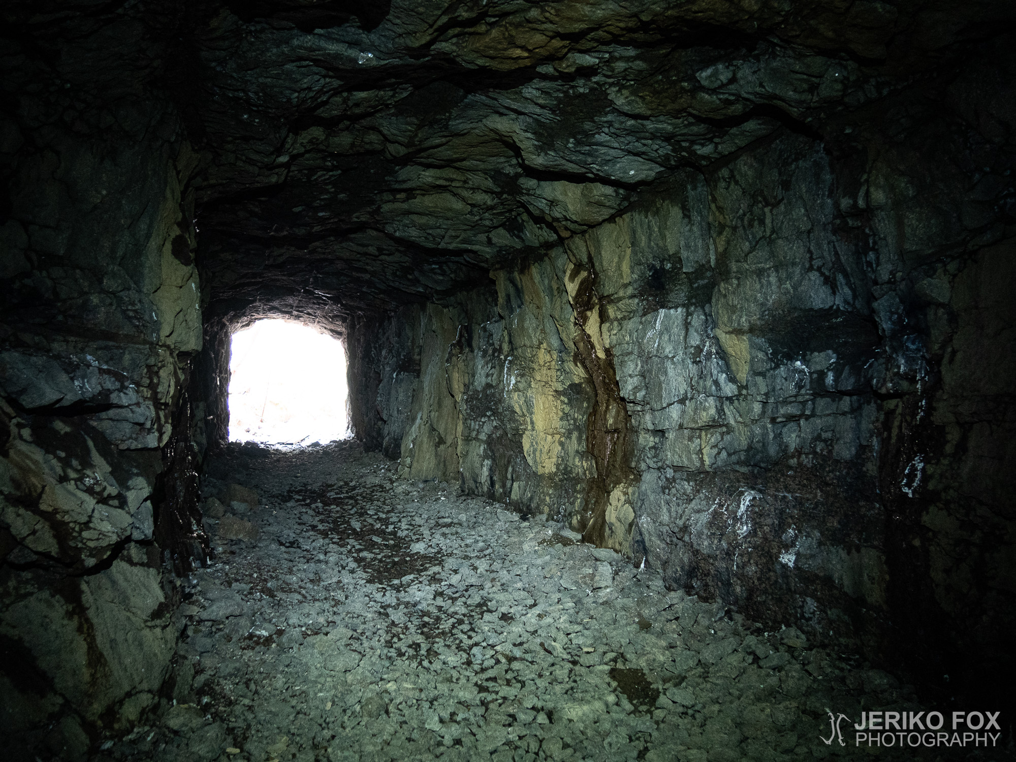
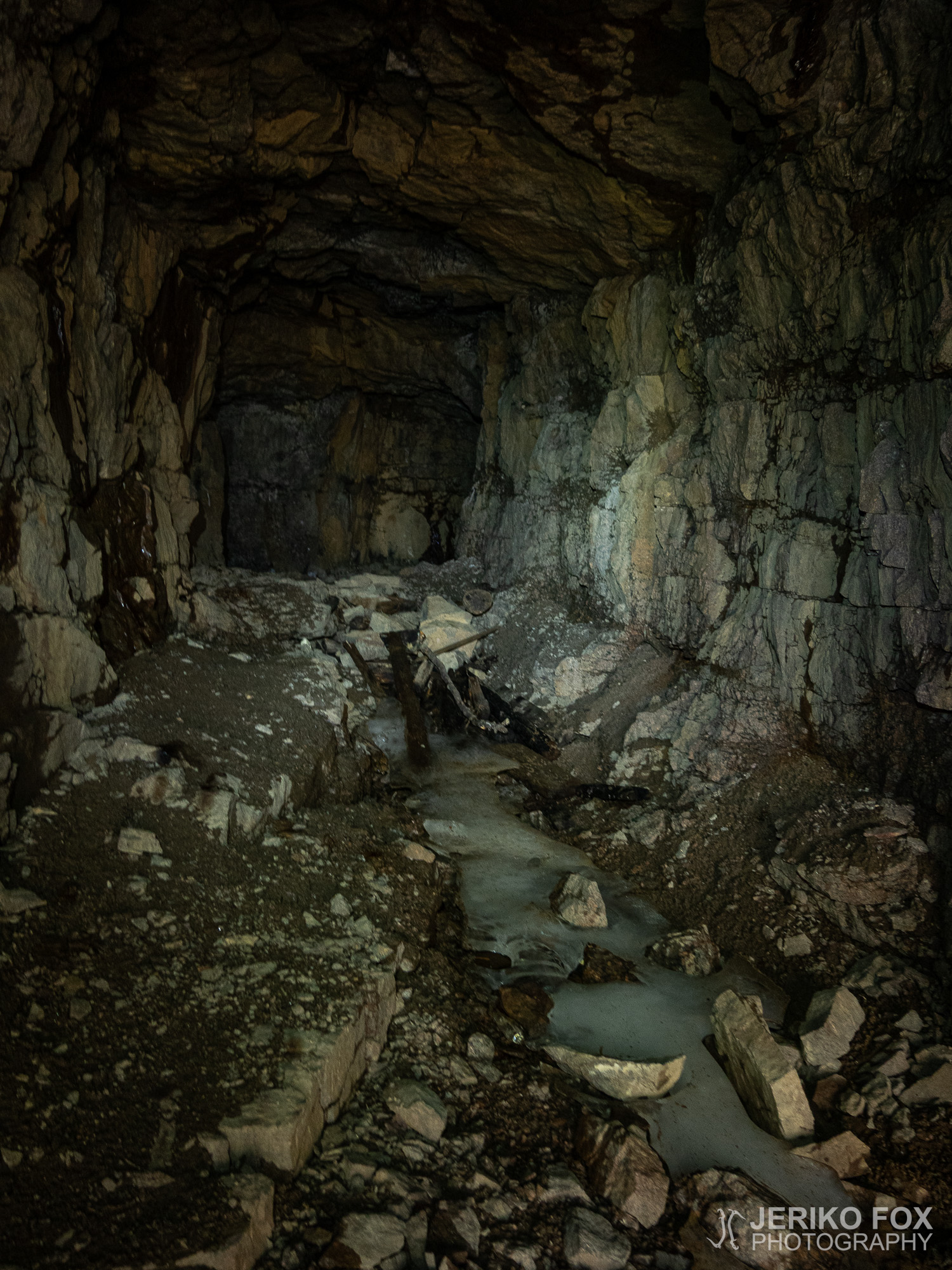
The most stunning attraction on the whole trail was opening in front of me when I arrived to the Soikonvuori Cave. I left my backpack on the trail as I always do and started to walk in with my head torch showing the way. The ground was frozen, which meant that the cave must have been pretty cold. I saw soon enough that there was also another entrance to the cave. In addition I paid attention to the stearin stains on the walls that indicated that someone have had candles in here. I went deeper into the cave and entered into a huge chamber that my head torch could not illuminate.
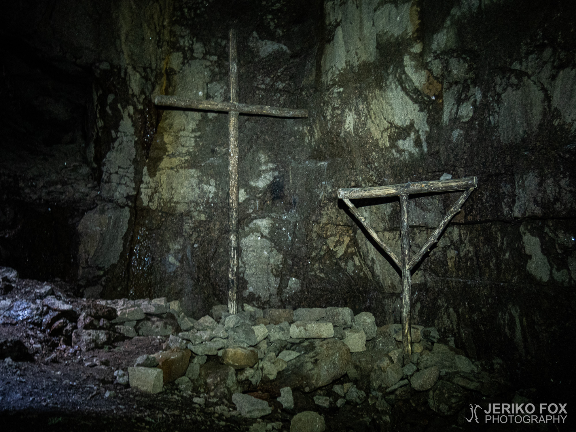
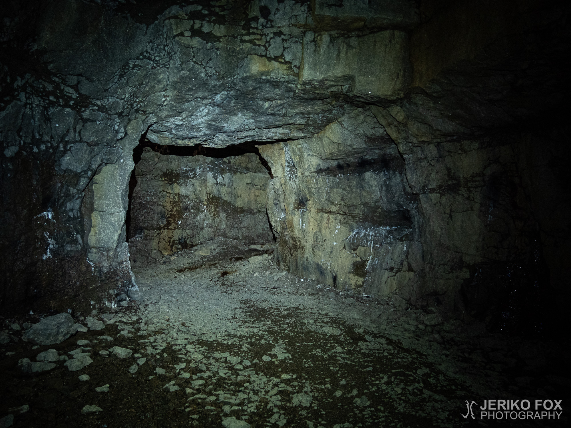
I walked on slowly showing my light to the surrounding walls, until I started to see something in the end of the cave. There was wooden figures. As I approached them alone in this big cave I started to feel panic creeping in: near the back wall there was standing a large cross and next to it a some kind of rack for an altar cloth. My mind was filled with images from the Blair Witch Project and all kinds of dark cannibalistic cults. I felt like someone was standing behind be and no-one would ever hear about me again. I turned around and the cave just stood there empty and silent. Apparently there had been some kind of mass in the Soikonvuori Cave, but in that empty cave those symbols only created pure horror.
I took few photos and then sneaked out of the cannibal cult cave. I felt relieved when I got back to the sunlight and to my backpack. Soikonvuori has also quite beautiful vertical rock walls, but I’m not sure if traditional climbing is allowed. At least it would require brushing some of the moss away.
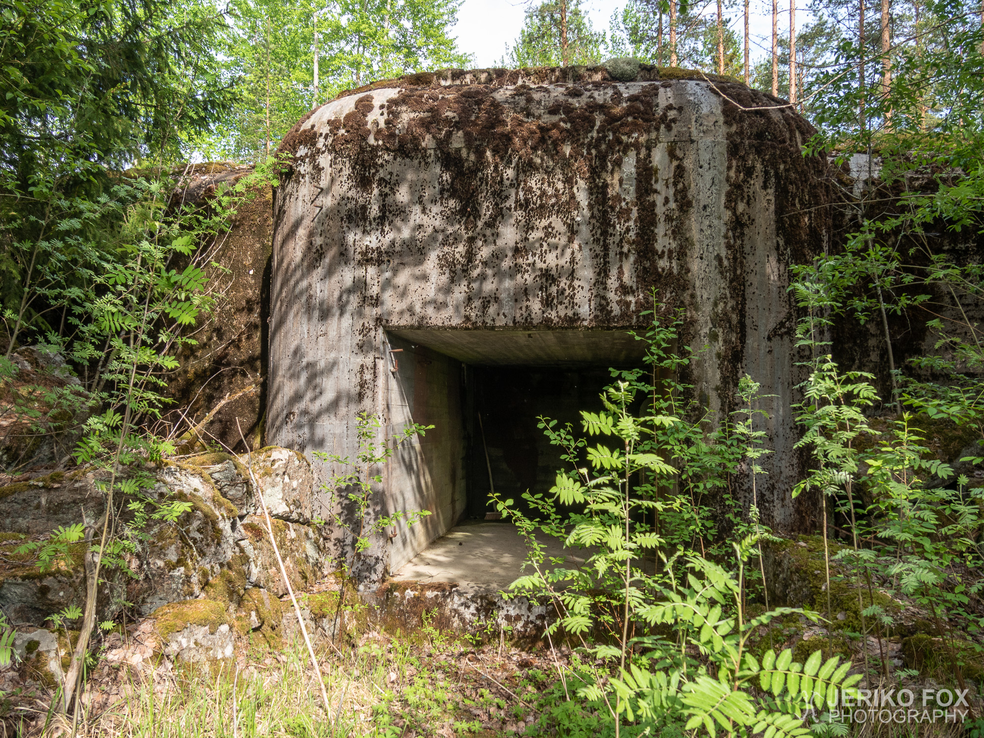
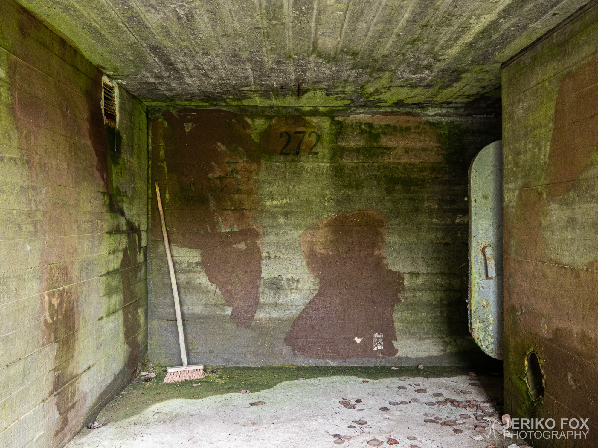
I had planned to stay the night at Pyyhinlampi, where there was a beach. I arrived there early enough, so I decided to finish the day with one more visit to a bunker. The route follows Heijarintie and from where you take a left turn to Pyyhinlampi on the right hand side is a bunker on a kind of an island in the middle of a field.
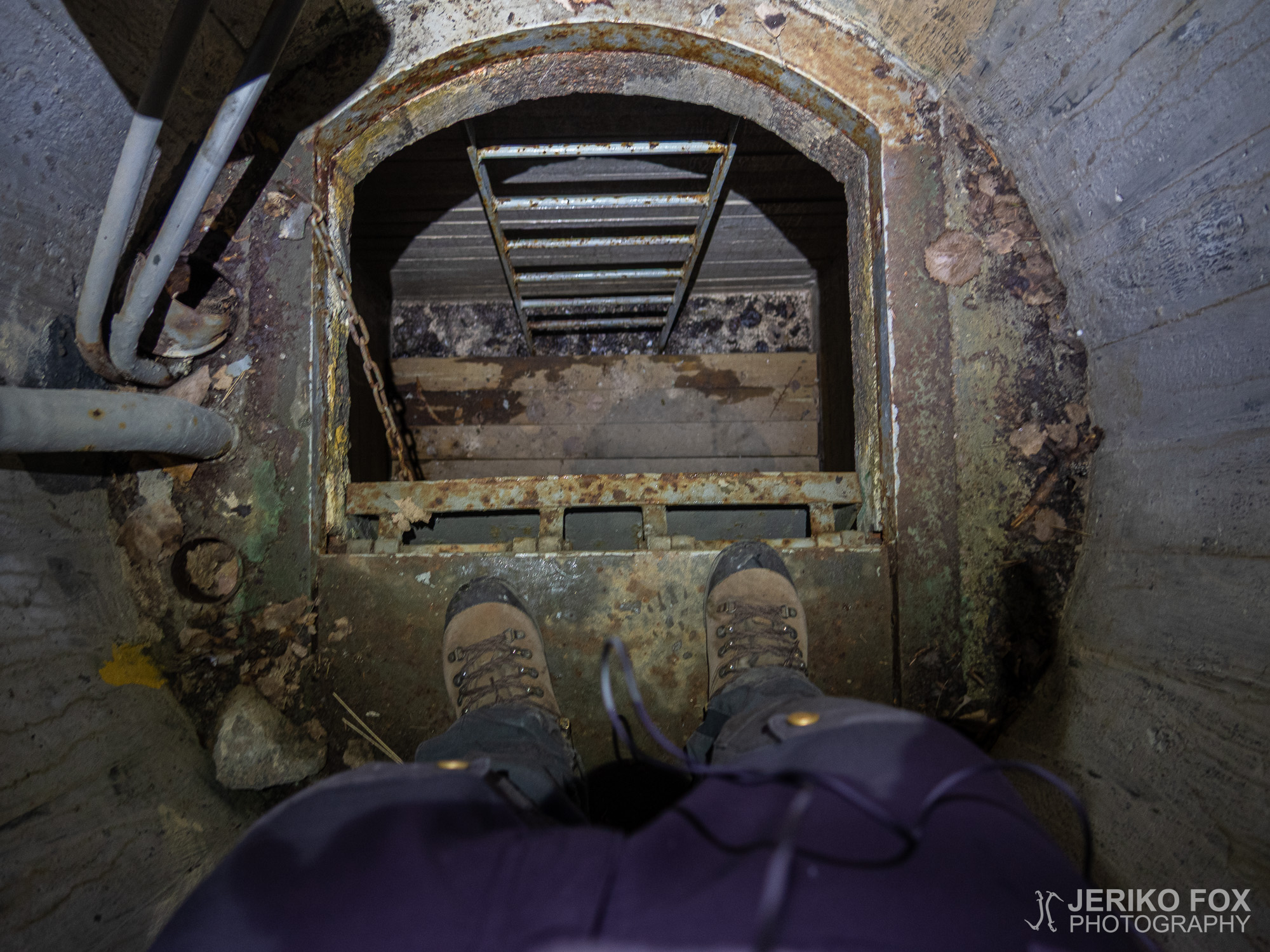
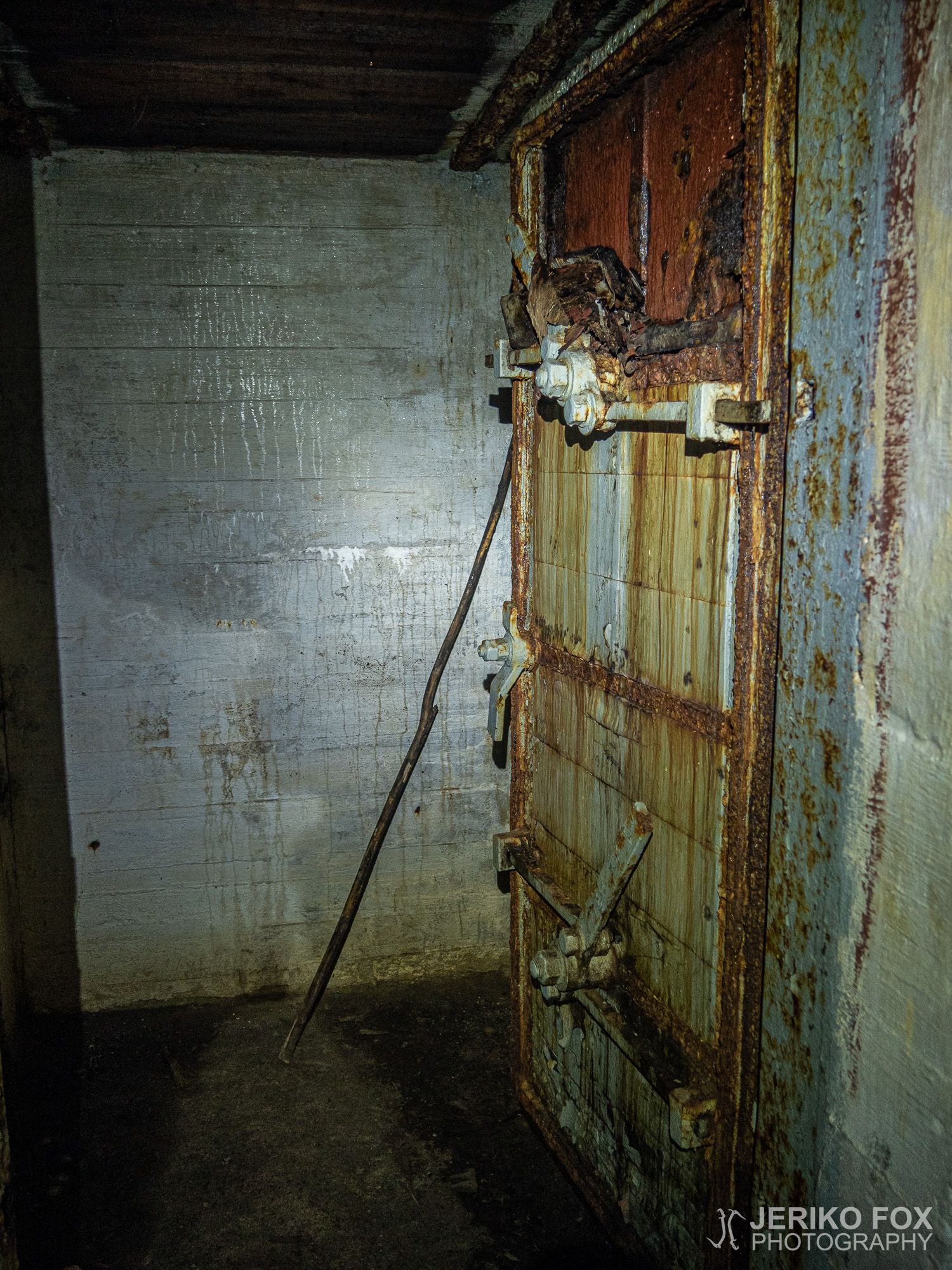
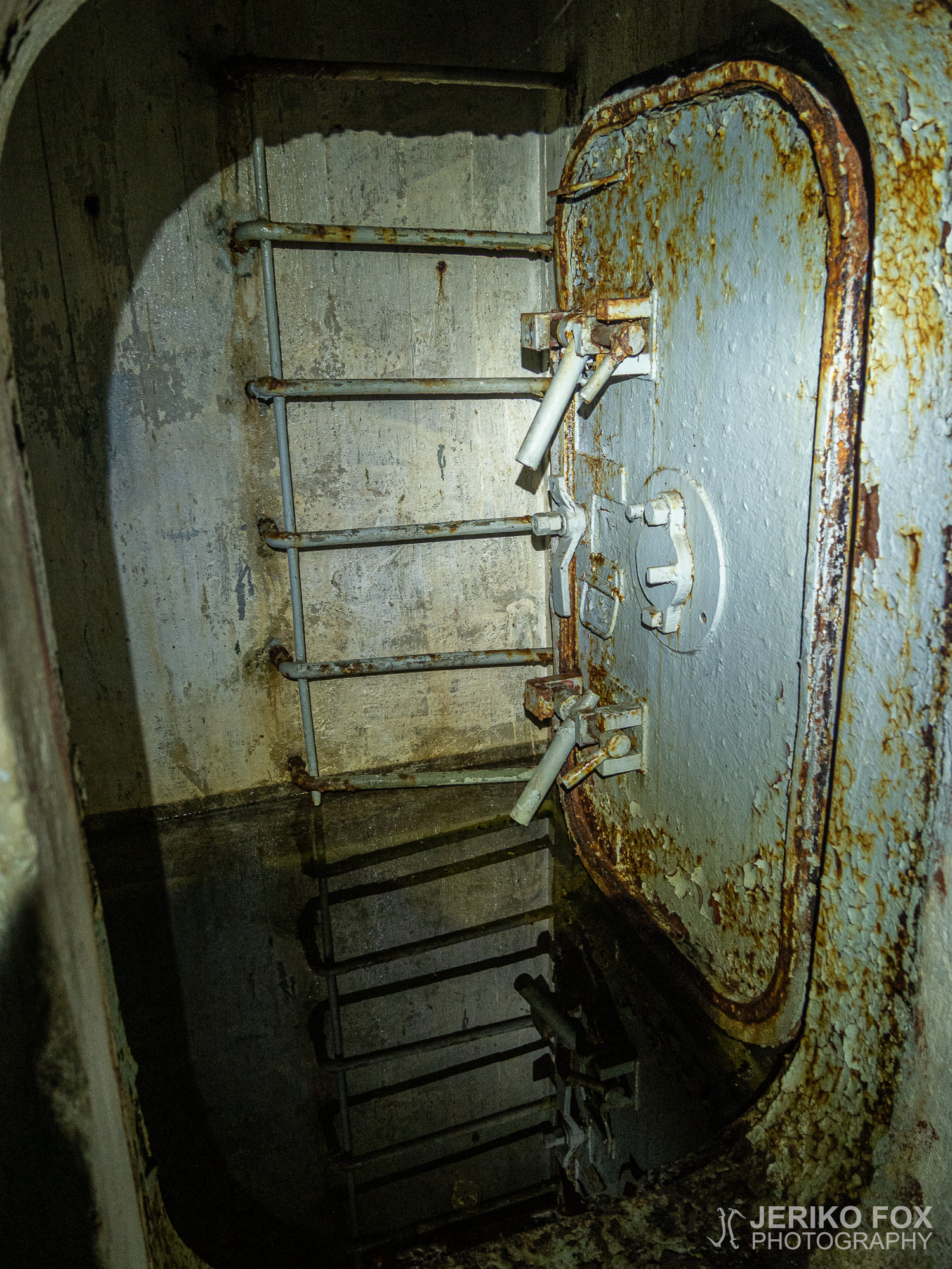
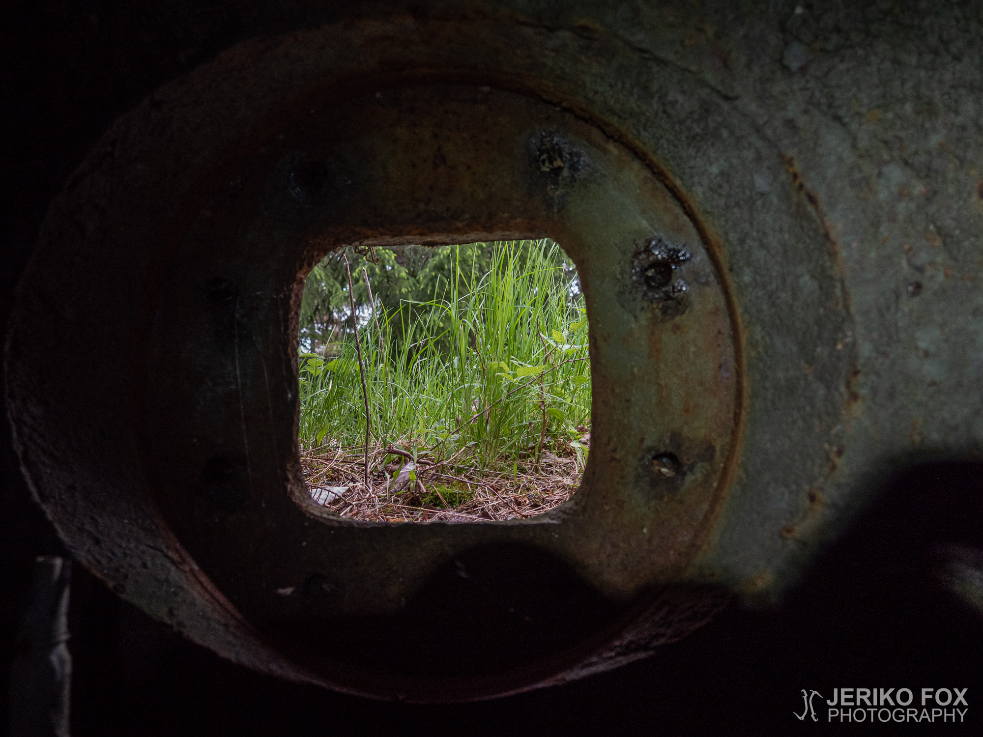
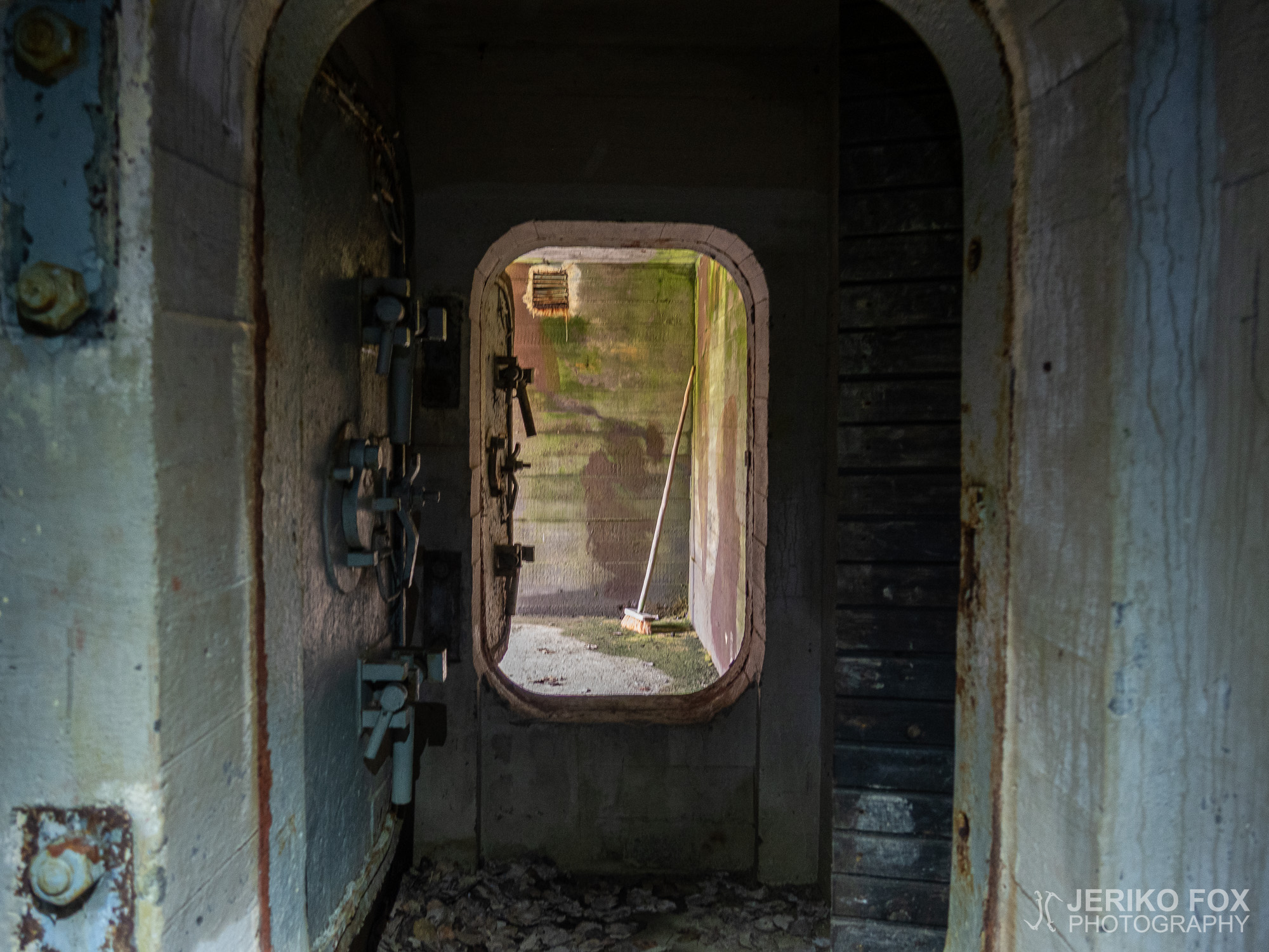
This bunker had a cleaning brush standing next to the door and clearly someone had also been using it. All bunkers are more or less humid, but here there was some actual condensation in the ceiling. For the first time I decided to try my luck and climb into the shooting place, because the ladders seemed quite good. There wasn’t really much to stand on there, but it was fun to be able to look out through the shooting hole.
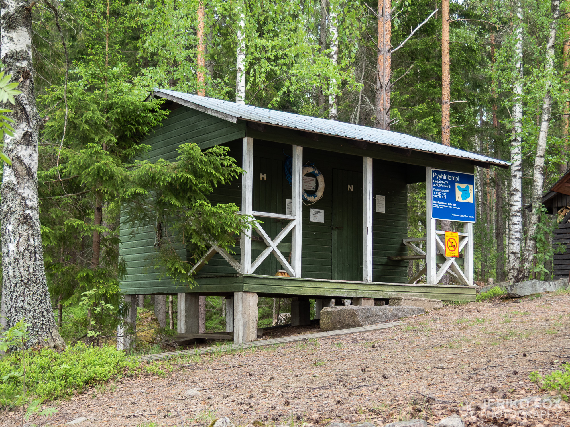
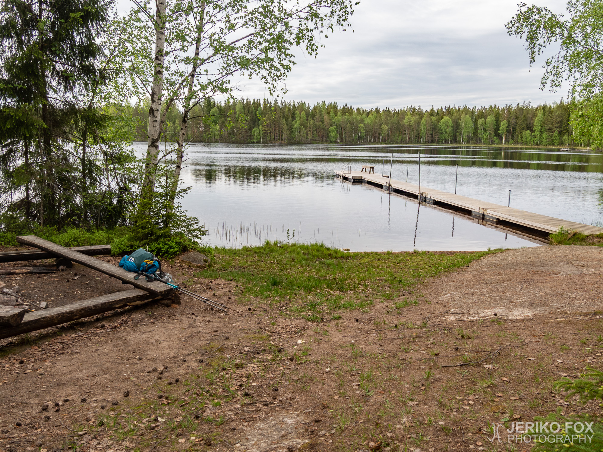
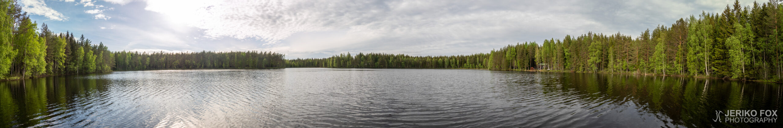
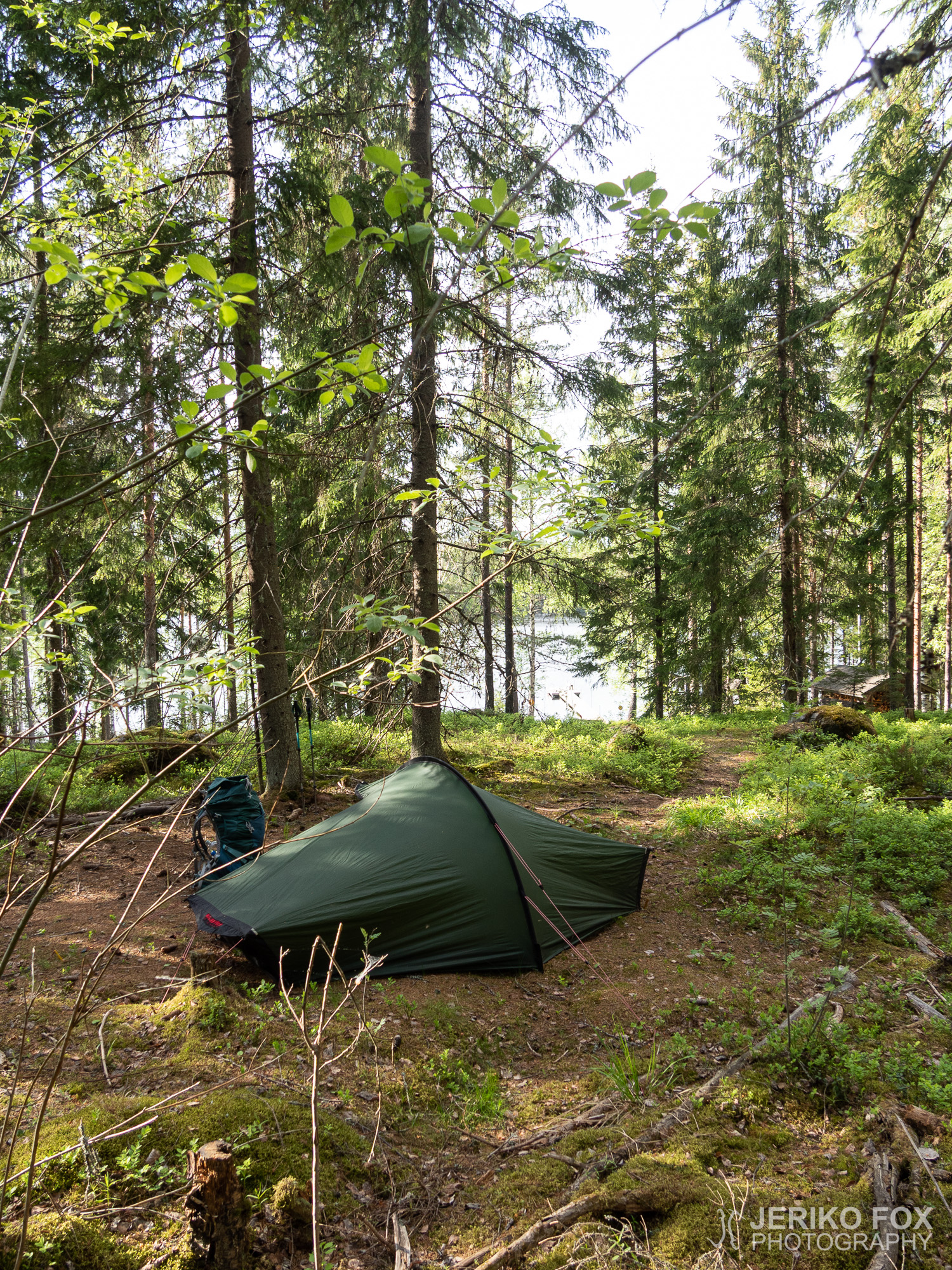
I returned to the road and then headed towards Pyyhinlampi. This idyllic swimming place has a dock, a changing room and a privy. I would have wanted to set my tent close to the pond (where it was more windy and hence no mosquitoes), but the ground wasn’t really level anywhere. I had to take my tent further uphill, where there was couple of tent spots in the woods. After I had my tent up, I went for the first outdoor swim of the season. Although the water wasn’t unbearably cold, my leg muscles were having cramps after today’s hike. It felt very comfy to get into my clean sleeping clothes after the swim and start my evening duties.

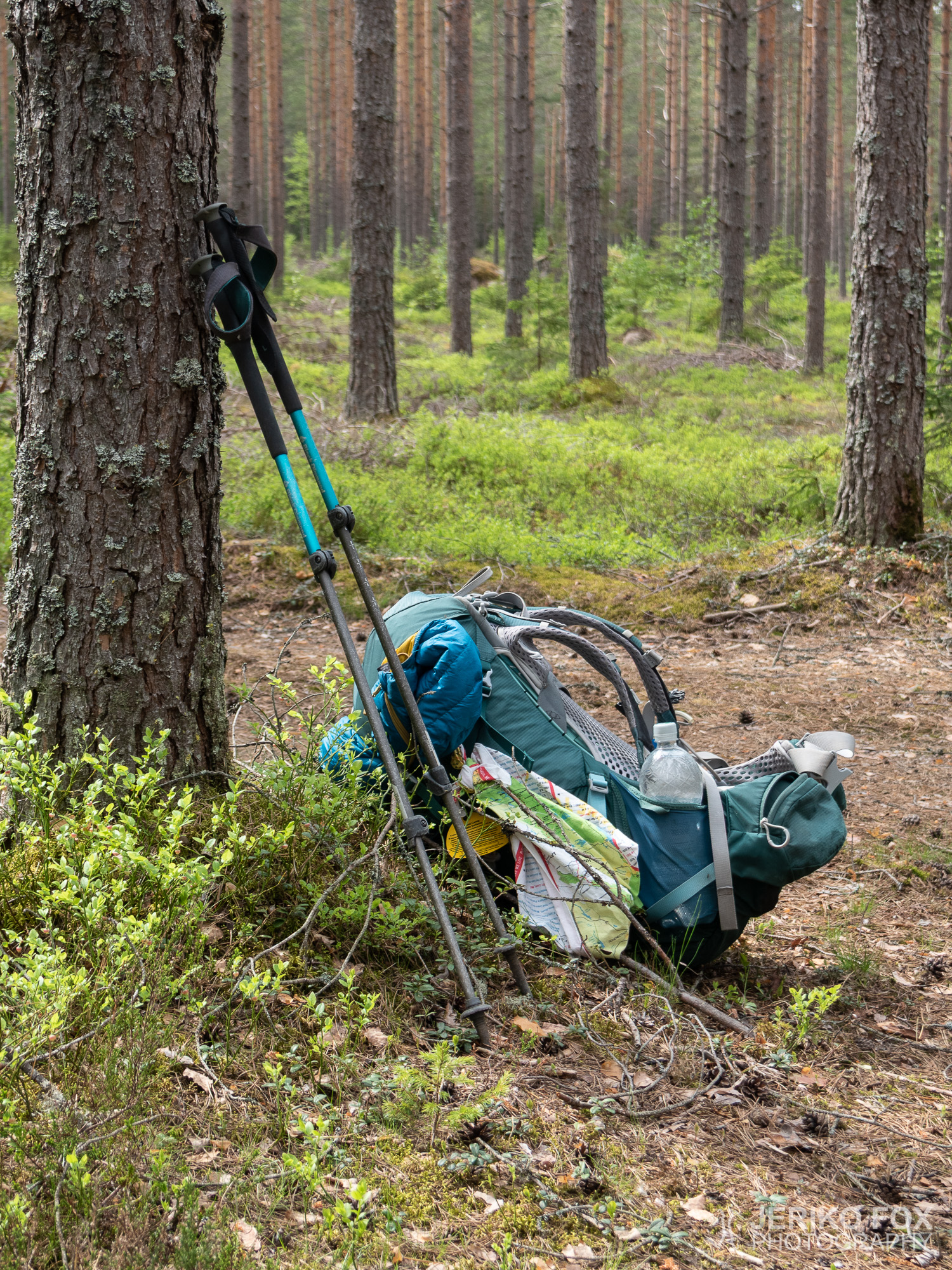


Heräsin raikkaaseen toukokuiseen aamuun virolaisten jo lähdettyä. Olin taas ylhäisessä yksinäisyydessäni ja aamutoimien jälkeen valmis jatkamaan matkaa Salpapolulla. Reitin varrella ei tähän mennessä ollut erityisen houkuttelevia vedenottopaikkoja, mutta olin kantanut tarkoituksella hieman reilummin vettä. Olin laskenut sen varaan, että viimeistään saapuessani Virolahden Bunkkerimuseolle pääsisin täyttämään vesipulloni.
Päivän ensimmäinen bunkkeri oli itseasiassa aivan Matsun laavun vieressä. Sen luona olevassa kyltissä varoitettiin mahdollisesti lattialla olevan vettä, mutta ampumapaikkaan johtavien tikapuiden juurta lukuunottamatta bunkkeri oli kuiva. Vesi oli itseasiassa niin kirkasta, että sitä olisi melkein houkutellut käyttää juomavetenä. En kuitenkaan ollut niin epätoivoinen, että seisova vesi olisi tuntunut järkevältä valinnalta.
Virolahden Bunkkerimuseo on vain noin puolentoista kilometrin päässä Matsun laavulta. Epäilin, ettei museo olisi auki, koska ei ollut vielä kesäkausi, mutta ovesta selvisi sen olevan aukeamassa tunnin sisään. En kuitenkaan halunnut jäädä odottelemaan. Löysin ulkoseinästä vesihanan, joten sain nyt suunnitelmani mukaisesti täytettyä vesipullot. Polku kääntyy museon pihassa oikealle, jota ei ole taaskaan erityisen selkeästi merkitty. Siksi jouduin hetken etsimään reittiä. Museon pihassa on tykkejä, taisteluhauta ja yksi bunkkerikin.
Kunhan museolta on löytänyt oikean suunnan alkoi reittimerkkejäkin tulla taas vastaan. Ja nyt vaihteeksi niiden käyttö meni jo naurettavuuksiin asti. Museolta lähtee myös toinen polku, joka on merkitty vaaleansinisin merkein ja Salpapolku tummansinisin. Ja näitä merkkejä on polun molemmin puolin jokaisessa puussa. Olisin suonut mielelläni osan näistä merkeistä jonnekin muualle.
Salpapolun varrella on paljon bunkkereita, eivätkä läheskään kaikki niistä olleet merkattu karttaani. Enkä myöskään käynyt jokaikisessä bunkkerissa. Erään bunkkerin löysin kävellessäni sen katolle. Kiersin alas etsien sisäänpääsyä, mutta en löytänyt sitä. Epäilin sen jääneen bunkkerin viereisen kivikasan taakse.
Suuri osa Salpapolusta ei ole tosiasiallisesti polkua vaan reitti seurailee hiekka- ja metsäautoteitä. Ajoittain kuljetaan toki polkujakin pitkin. Vajaan parin tunnin kävelyn jälkeen saavuin kuitenkin hieman isomman tien varteen, kun Salpapolku ristesi 7-tien kanssa. Moottoritielle ei onneksi tarvinnut mennä loikkimaan vaan hiekkatietä pitkin saattoi kulkea 7-tien ali.
Seuraavassa bunkkerissa oli poikkeuksellisesti puupaneloitu katto. Se vähensi kaikua tilassa, mutta näytti siltä, että oli putoamassa alas hetkenä minä hyvänsä. Osia puupaneleista oli jo tippunutkin lattialle – samoin kuin katossa roikkuneet putket. Tässä bunkkerissa ja joissain muissakin oli syviä kuiluja. Minulle ei selvinnyt olisivatko nämä mahdollisesti olleet vessoja tai kaivoja (joidenkin pohjalla oli vettä).
Pidin pienen evästauon Säkäjärventien varressa, josta reittimerkit kääntyivät metsätielle. Kuvittelin seuraavani tästä polkua, mutta itseasiassa päädyin tekemään (lyhyen) suunnittelemattoman bonuskierroksen hylätylle Säkäjärven seurantalolle. En jostain syystä tullut kokeilleeksi olisivatko ovet auki. Joka tapauksessa piha-alue soveltuu myös yöpymispaikaksi, koska hyvää telttailutilaa on reilusti ja pihassa on huussi ja tulentekopaikka.
Epäselviä reittimerkintöjä oli luvassa lisää. Mässelinmäen risteytyessä Patasalmentien kanssa sinisen tolpan sijoittelu reitin vasemmalla puolella antaa ymmärtää reitin kaartuvan vasemmalle. Tässä kuitenkin kuuluu kaartaa oikealle, vaikka tolpan vastakkaisen puolen merkit osoittavat “väärästä suunnasta” tulijoita kohti.
Koko reitin pysäyttävin nähtävyys tuli vastaan saapuessani Soikonvuoren luolalle. Jätin reppuni polun varteen, kuten aina bunkkereihin mennessä ja lähdin otsalamppuni valossa kulkemaan luolan sisälle. Maassa oli jäätä, mikä kertoo luolassa olevan melko kylmää. Huomasin pian luolaan tulevan toisenkin sisäänkäynnin. Lisäksi seinämillä oli steariinin valumajälkiä, mikä kertoi jonkun polttaneen täällä kynttilöitä. Seurasin luolaa syvemmälle ja tulin valtavan suureen kammioon, jota otsalamppuni ei yltänyt valaisemaan.
Kuljin rauhallisesti eteenpäin valaisten ympäröiviä seiniä, kunnes pikkuhiljaa hämärässä luolan perällä alkoi erottua jotakin. Näin puusta rakennettuja hahmoja. Lähestyessäni niitä alkoi yksin valtavassa pimeässä luolassa pakokauhu hiipiä kimppuuni: luolan perällä seisoi suuri risti ja sen vieressä jonkinlainen alttarivaatteen teline. Mieleen ryömivät niin Blair Witch Project kuin kaikki mahdolliset pimeät ihmissyöjäkultit. Minulla oli tunne, että joku seisoisi takanani ja minusta ei kuultaisi enää koskaan. Käännyin ympäri ja luola seisoi yhtä tyhjänä kuin aiemminkin. Ilmeisesti Soikonvuoren luolassa on järjestetty jonkinlainen jumalanpalvelus, mutta tyhjillään olevassa luolassa nuo yksin seisovat symbolit aiheuttavat silkkaa kauhua.
Otin muutamia valokuvia ja lähdin sitten hiippailemaan ulos ihmissyöjien luolasta. Olin helpottunut päästyäni takaisin päivänvaloon ja reppuni luokse. Soikonvuorella on myös hienoja pystysuoria kallioseinämiä, mutta en ole varma saisiko alueella kalliokiipeillä. Ainakin se vaatisi seinien puhdistamista osin.
Olin suunnitellut yöpyväni Pyyhinlammella, jossa olisi myös uimapaikka. Saavuin Pyyhinlammen lähelle hyvissä ajoin, joten päätin vielä päivän päätteeksi käydä katsomassa yhden bunkkerin. Tässä kohtaa reitti seuraa Heijarintietä ja samasta kohtaa mistä Pyyhinlammelle käännytään vasemmalle on oikealla puolella yksi bunkkeri eräänlaisessa saarekkeessa keskellä peltoa.
Tässä bunkkerissa oli ovella harja ja muutenkin paikkaa oli pidetty selvästi siistinä jonkun maanomistajan toimesta. Kaikki bunkkerit ovat enemmän tai vähemmän kosteita, mutta tässä oli katossa selvää kondensaatiota. Päätin ensimmäisen kerran kiivetä ylös ampumispaikkaan, koska tikkaat näyttivät suhteellisen hyväkuntoisilta. Seisomatilaa ei erityisen paljon ylhäällä ole, mutta ampuma-aukosta ulos kurkistaminen on ihan hauskaa.
Palasin sitten tielle ja lähdin kävelemään kohti Pyyhinlammen rantaa. Idyllisessä uimapaikassa on laituri sekä vaatteidenvaihtotilat ja huussi. Olisin mielelläni laittanut telttani aivan lammen rantaan (jossa oli hieman tuulisempaa ja siten ei hyttysiä), mutta maa oli turhan kaltevaa. Jouduin siis viemään telttani hieman ylemmäs rinteeseen, jossa olikin puiden keskellä pari valmista telttapaikkaa. Saatuani teltan pystyyn lähin heittämään talviturkkini ja pulahdin laiturilta uimaan. Vaikka vesi ei ollut sietämättömän kylmää niin vaelluksen päätteeksi jalat meinasivat kyllä krampata kylmässä vedessä. Uintireissun jälkeen olikin mukava vaihtaa puhtaat nukkumisvaatteet päälle ja ryhtyä iltatoimiin.
Max elevation: 59 m
Total time: 06:19:35