
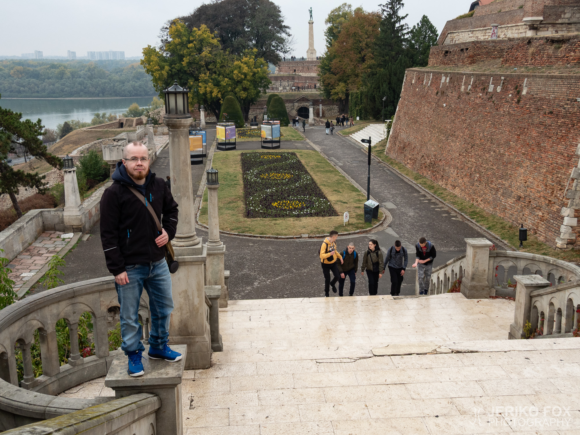
Serbia: Avala Mountain
There are not too many outdoor activities available near Belgrade. The most interesting mountains are...

There are not too many outdoor activities available near Belgrade. The most interesting mountains are...
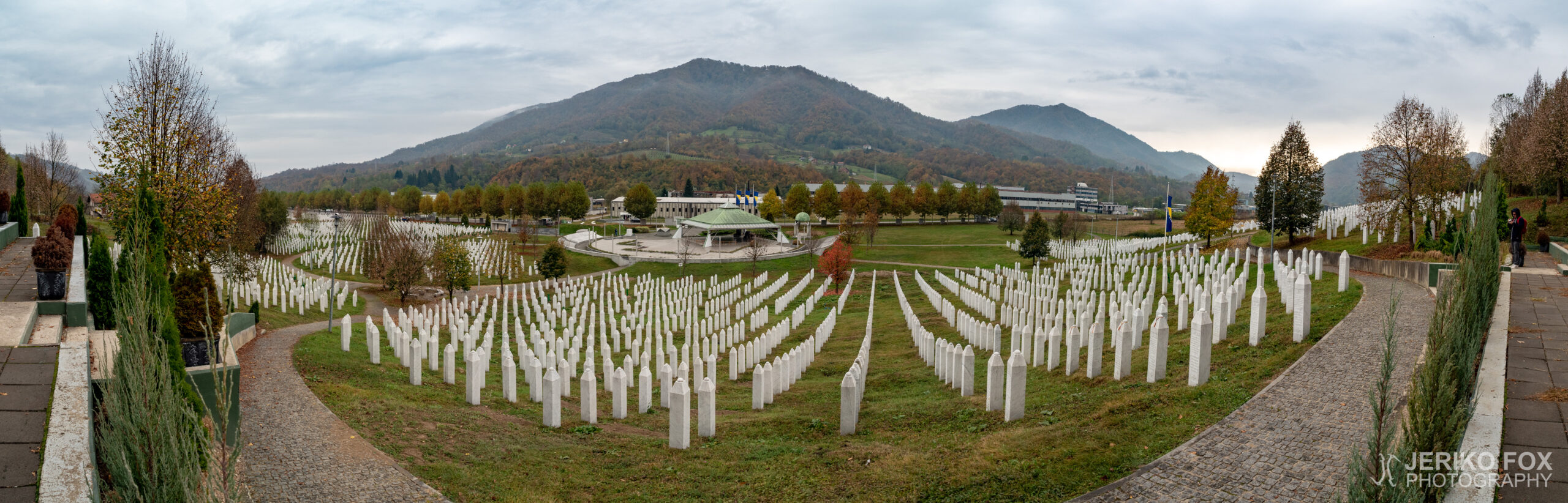
In a scenic valley between mountains is located the town of Srebrenica. This home of...
Although I have been traveling a lot around Europe, Balkans have remained unvisited. My friend...
The best fall foliage was already gone, but the trees still were brightly yellow, when...
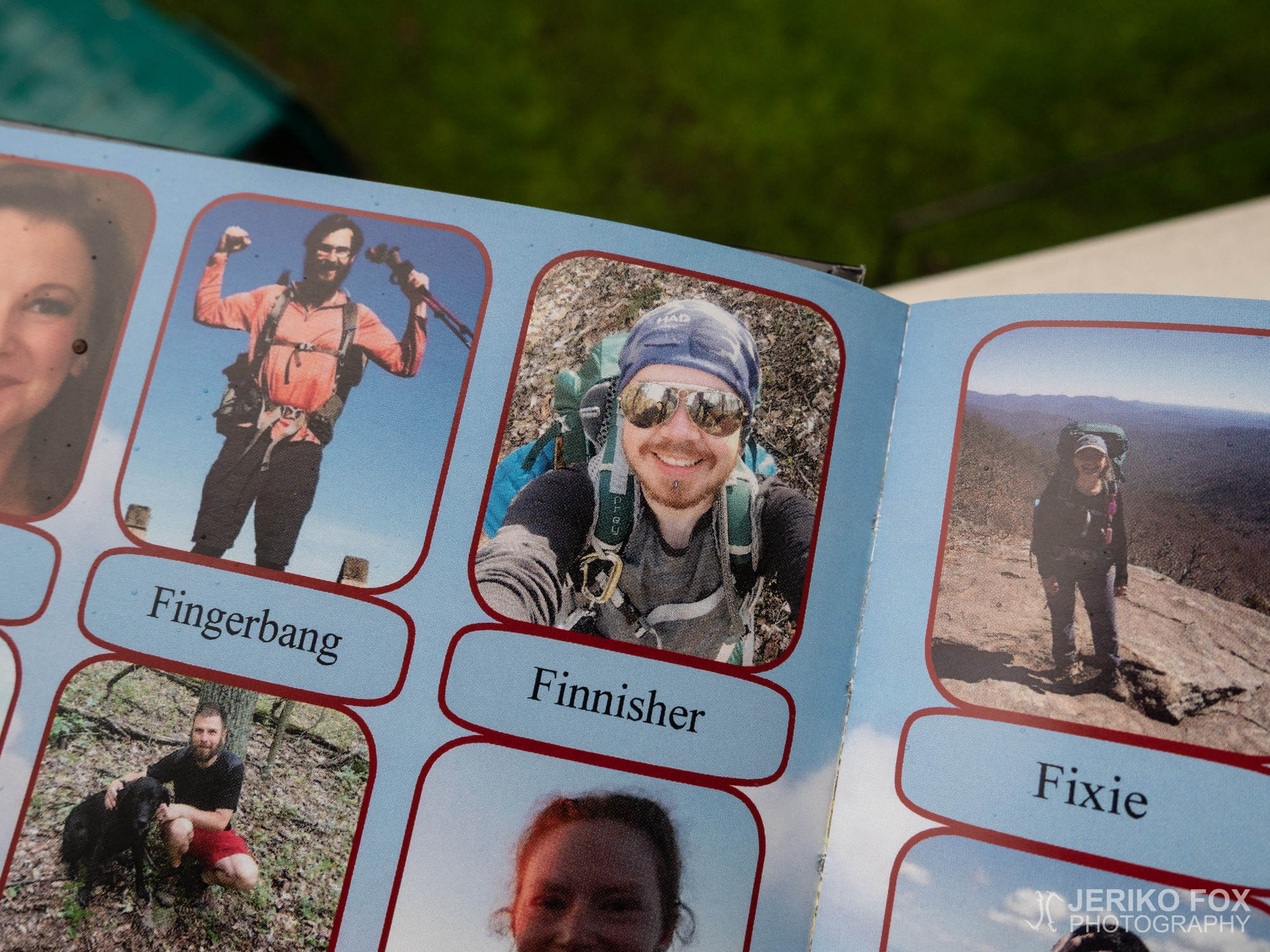
A year ago I climbed to the highest peak in Maine carrying my green Osprey...
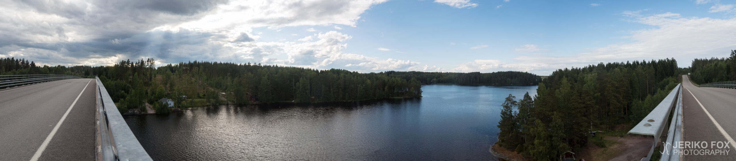
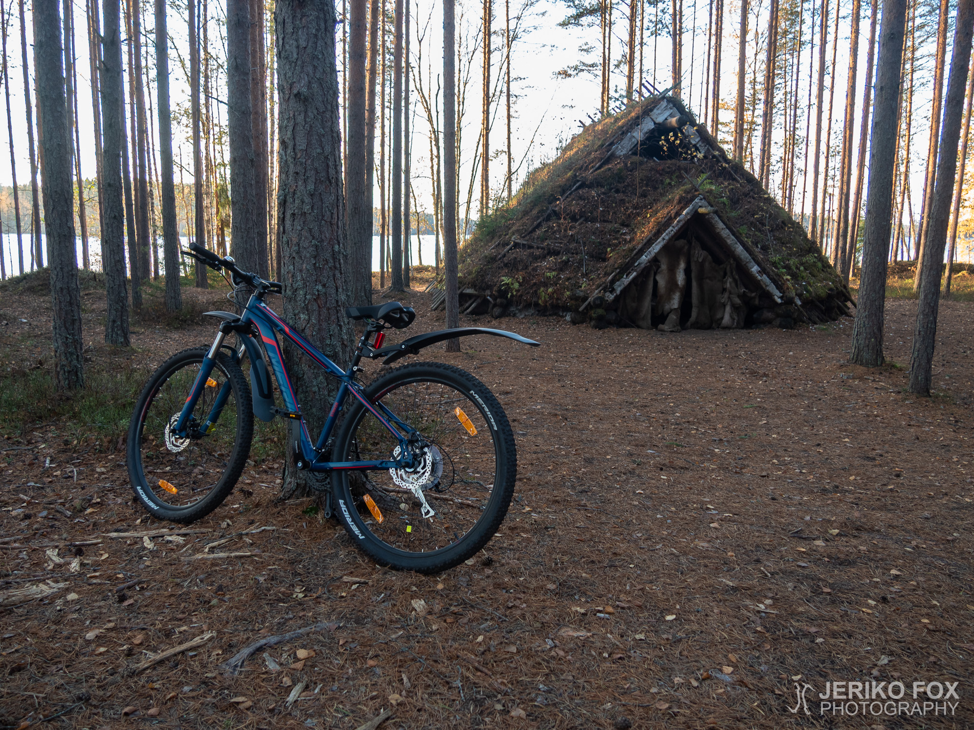
In the beginning of the summer I bought a new mountain bike. I have lived...
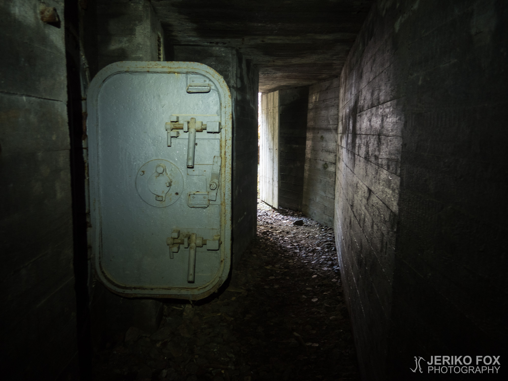
When you are hiking, everything doesn’t always go with that Martha Stewart precision. And don’t...