
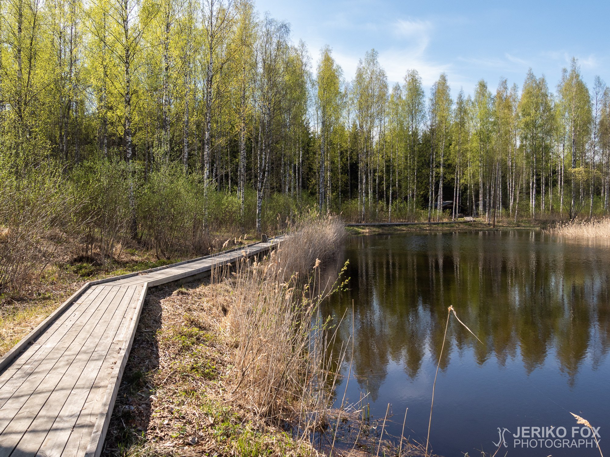
Haikola Trail
I have been thinking about starting a new project: going through all the hiking trails...
I have been thinking about starting a new project: going through all the hiking trails...
Right at the waterfront of Lappeenranta, about 1,5 km (0.9 miles) from the town bay,...
The next Christmas is soon closer than the last one, but I found some too...
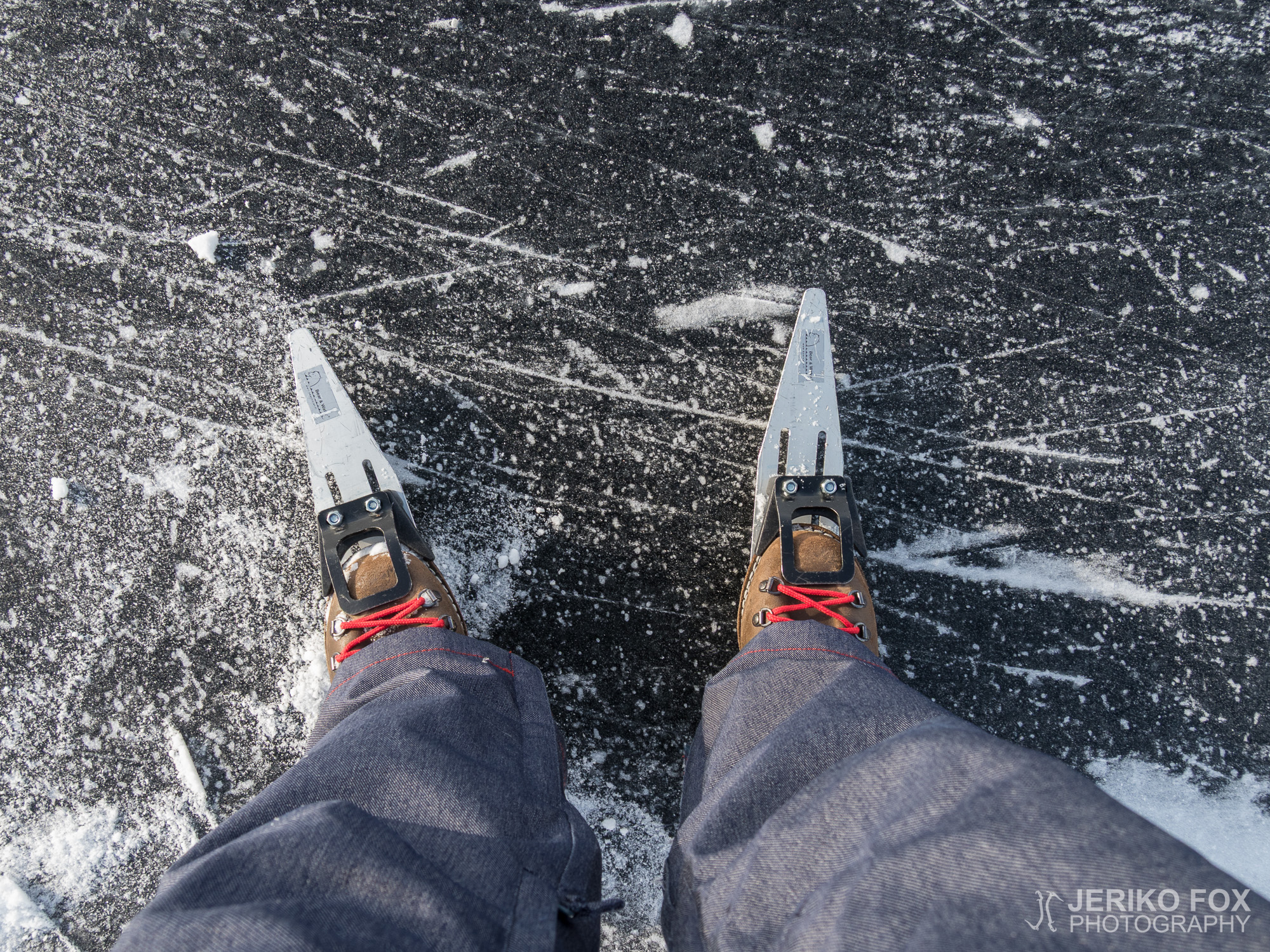
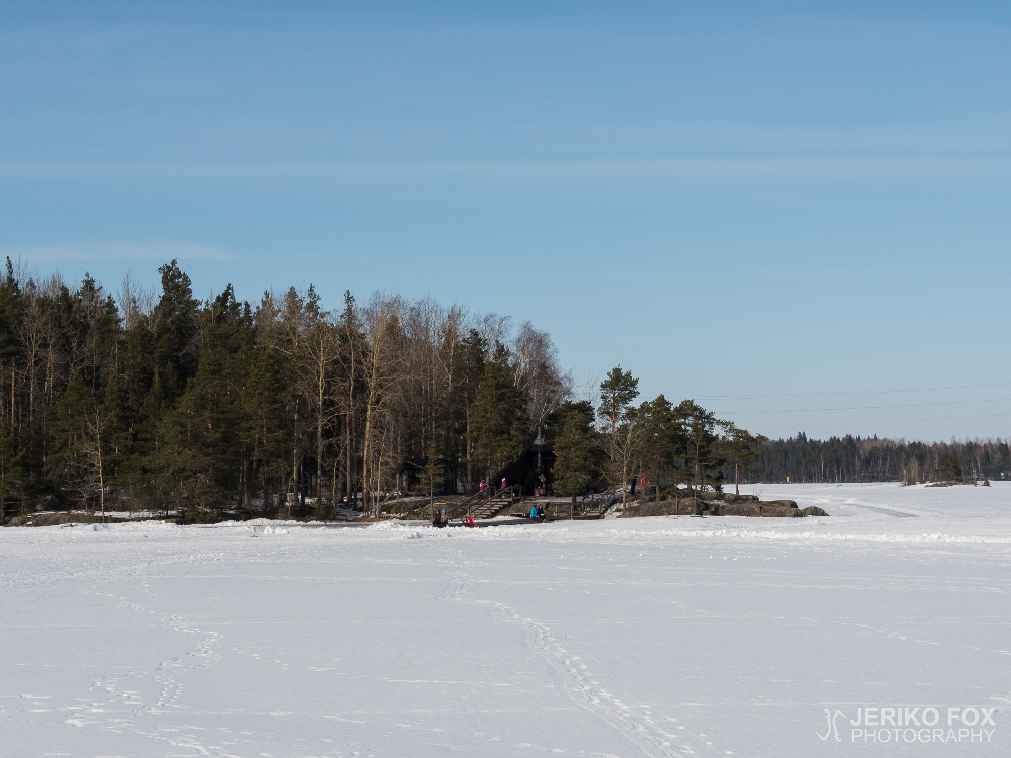
When I was in school I liked ice skating and all kinds of games on...
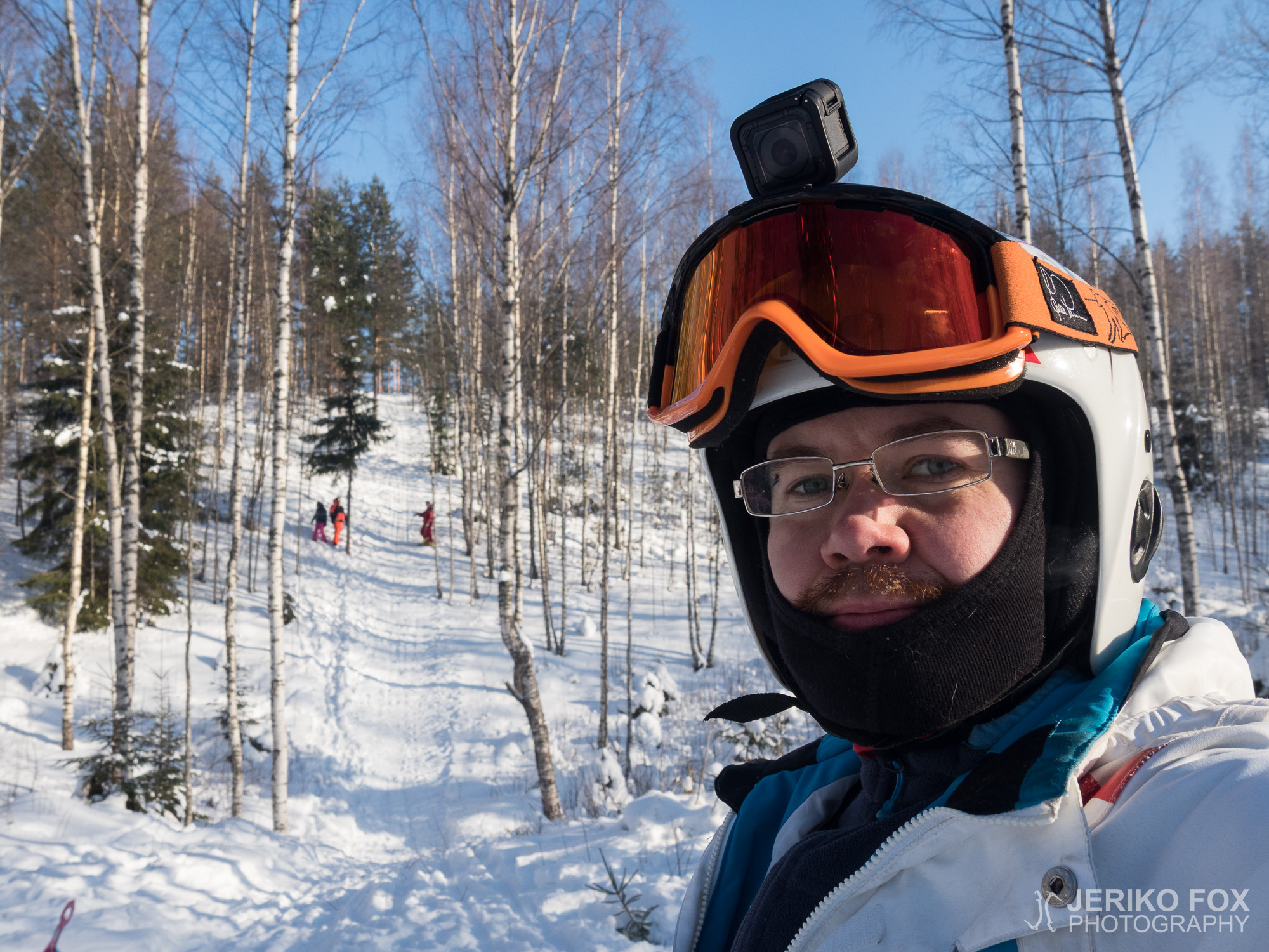
Ukonmäki (which translates roughly to “Old man’s hill”) is a traditional rural backcountry downhill skiing...
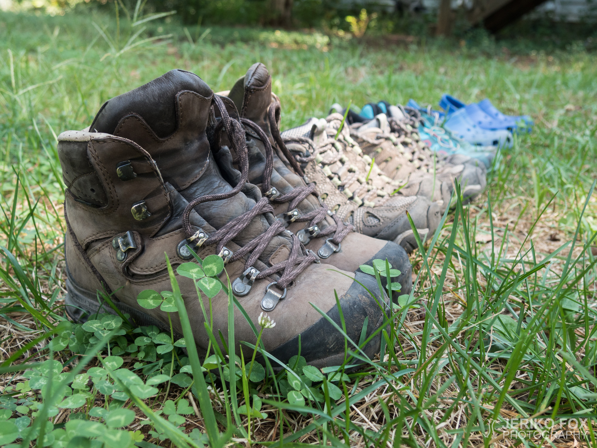
“How much does your pack weigh?” This is that vernal mating call on the Appalachians...

On this day, exactly one year ago, I lifted the painfully heavy backpack up on...