
21,36 km (13.3 miles)
1596.7 / 2189.8 miles
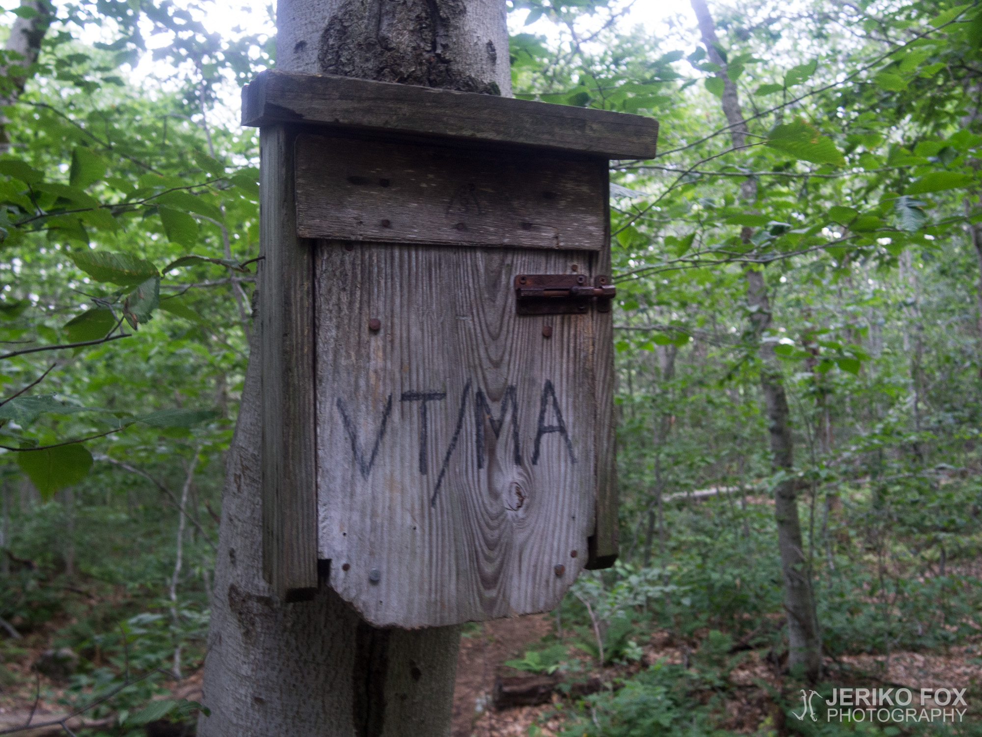
Stealth campsite, VT
The night was surprisingly cold. The valley had been forecasted to have a 50°F overnight low, and at about 3000 feet it would certainly be colder. This already tested the comfort limit of my summer sleeping bag, so I had pulled on warm socks before going to sleep, and in the night I also added long underwear. I slept poorly overall because my muscles ache. I don’t know if they were just overworked, or if the cold also had an effect.
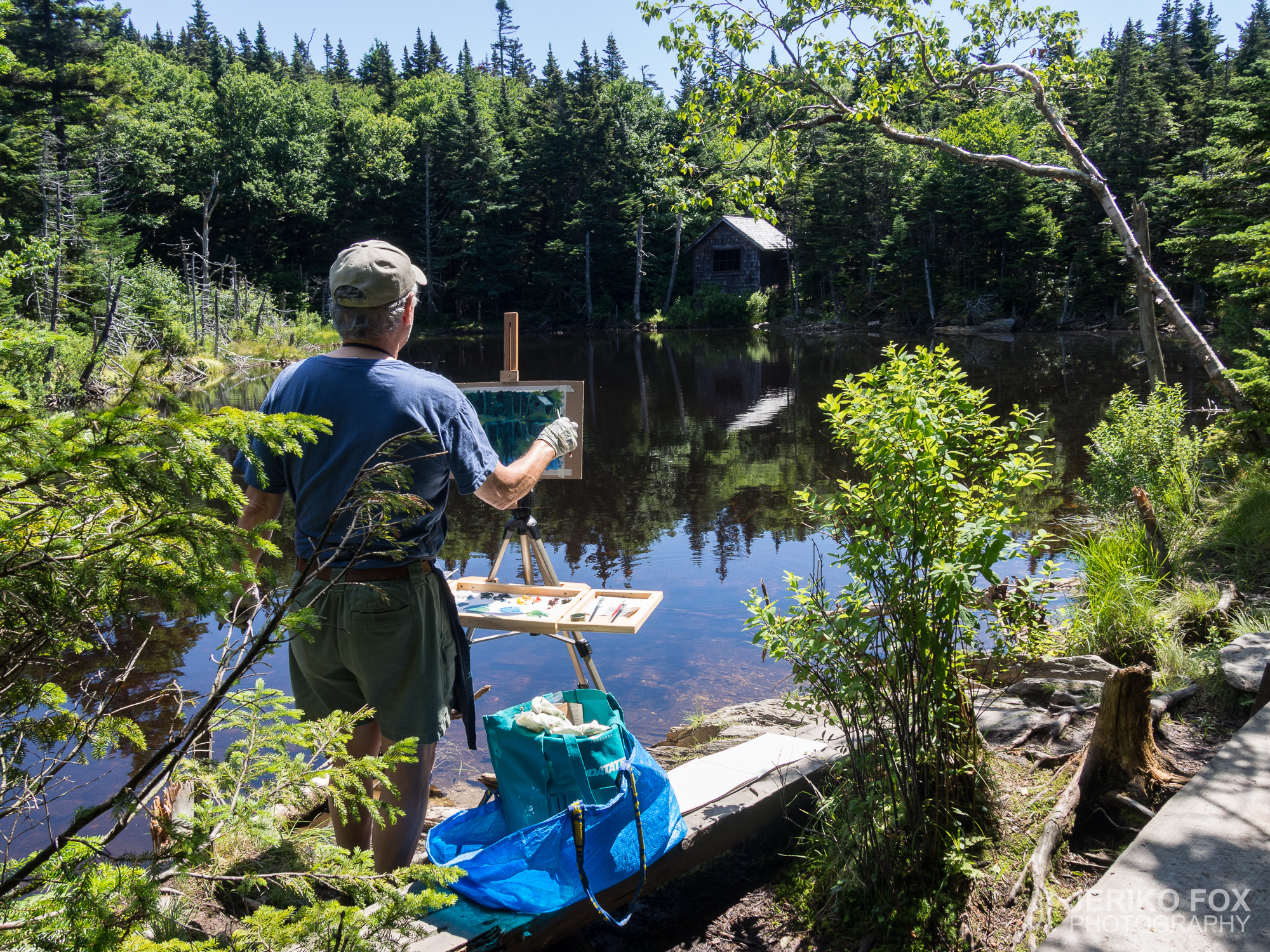
In the morning I was unusually groggy and my morning routine progressed slowly. My brain didn’t want to work. I finally got under way sometime before ten to continue my climb toward Mount Graylock’s peak. On the way I passed some day hikers, on the shore of a pond an older gentleman painting with oils. I praised his work as beautiful and he said it was thanks to the beautiful view.
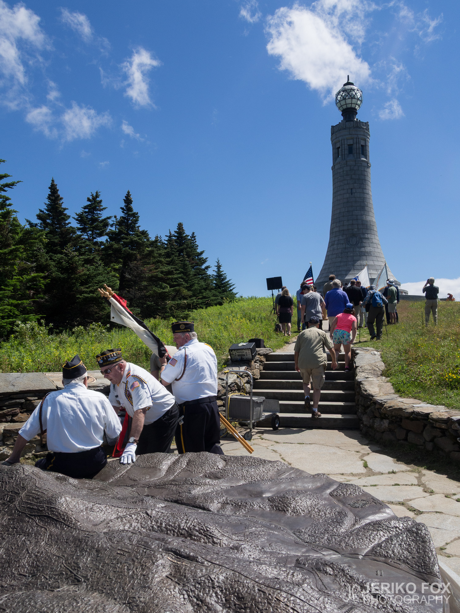
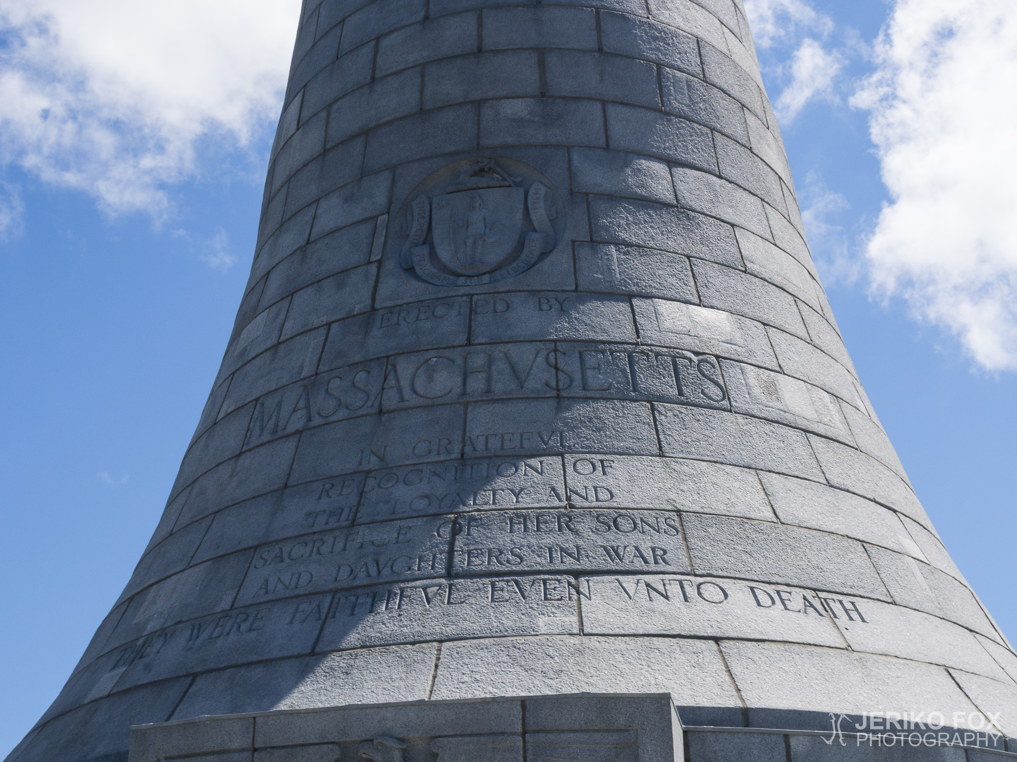
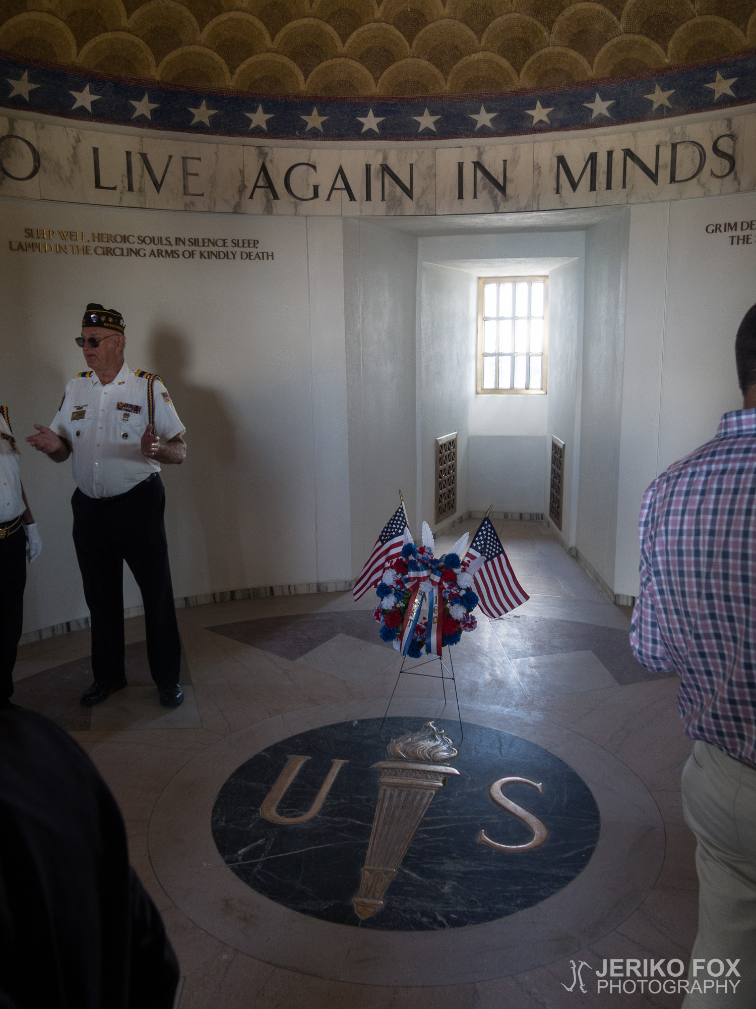
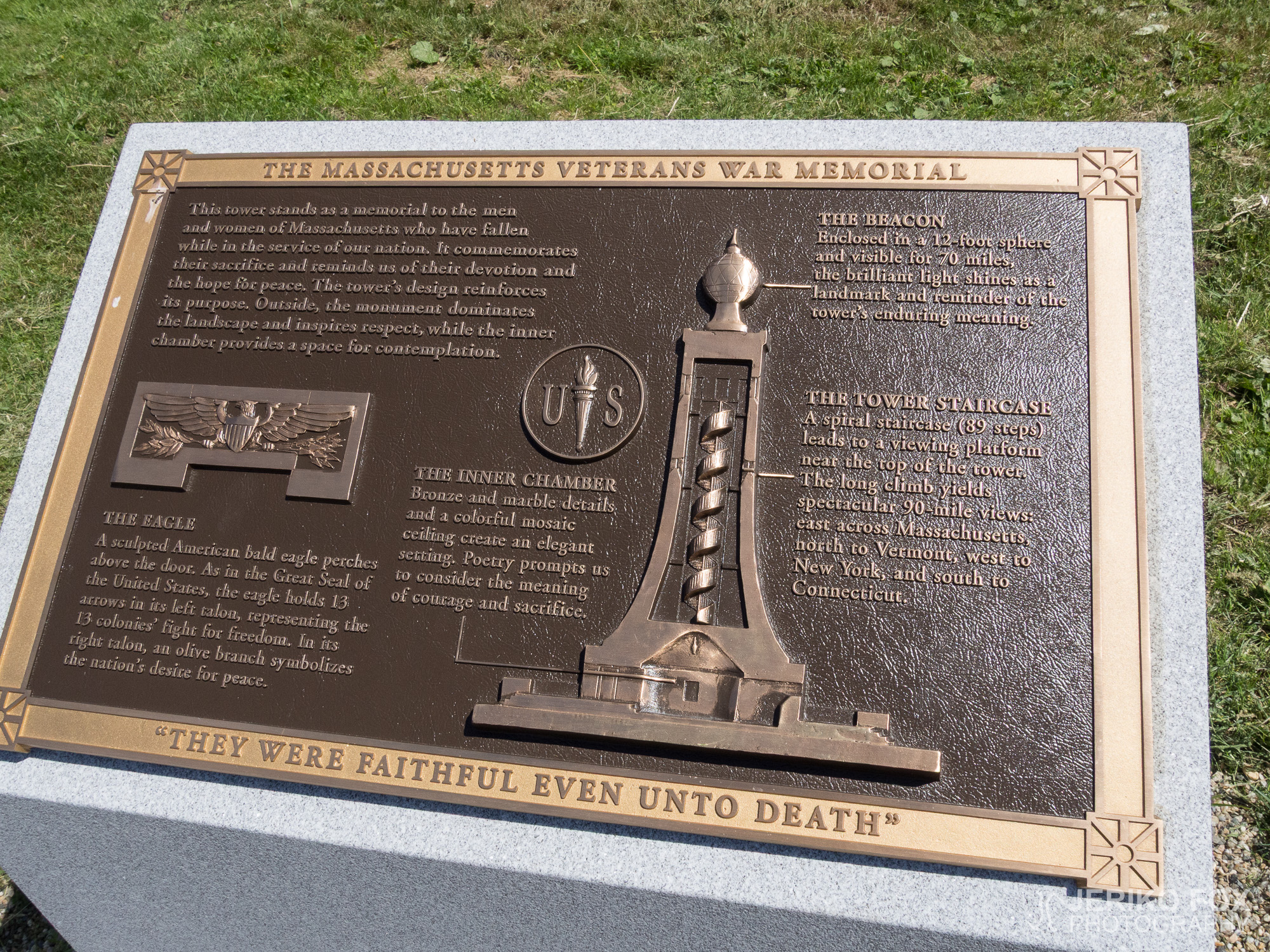
As I neared the summit I started hearing music from somewhere. Marching music. A worker from the area who passed me said I had come on a good day – a monument that had been under repairs for a few years was just reopened today. As I came to the open summit, where a tower dedicated to war veterans of Massachusetts stood, the ceremony seemed to be just wrapping up. Milling around the tower were a bunch of suits and veterans in uniform. Brisk military music blared from the speakers, and flags were flying.
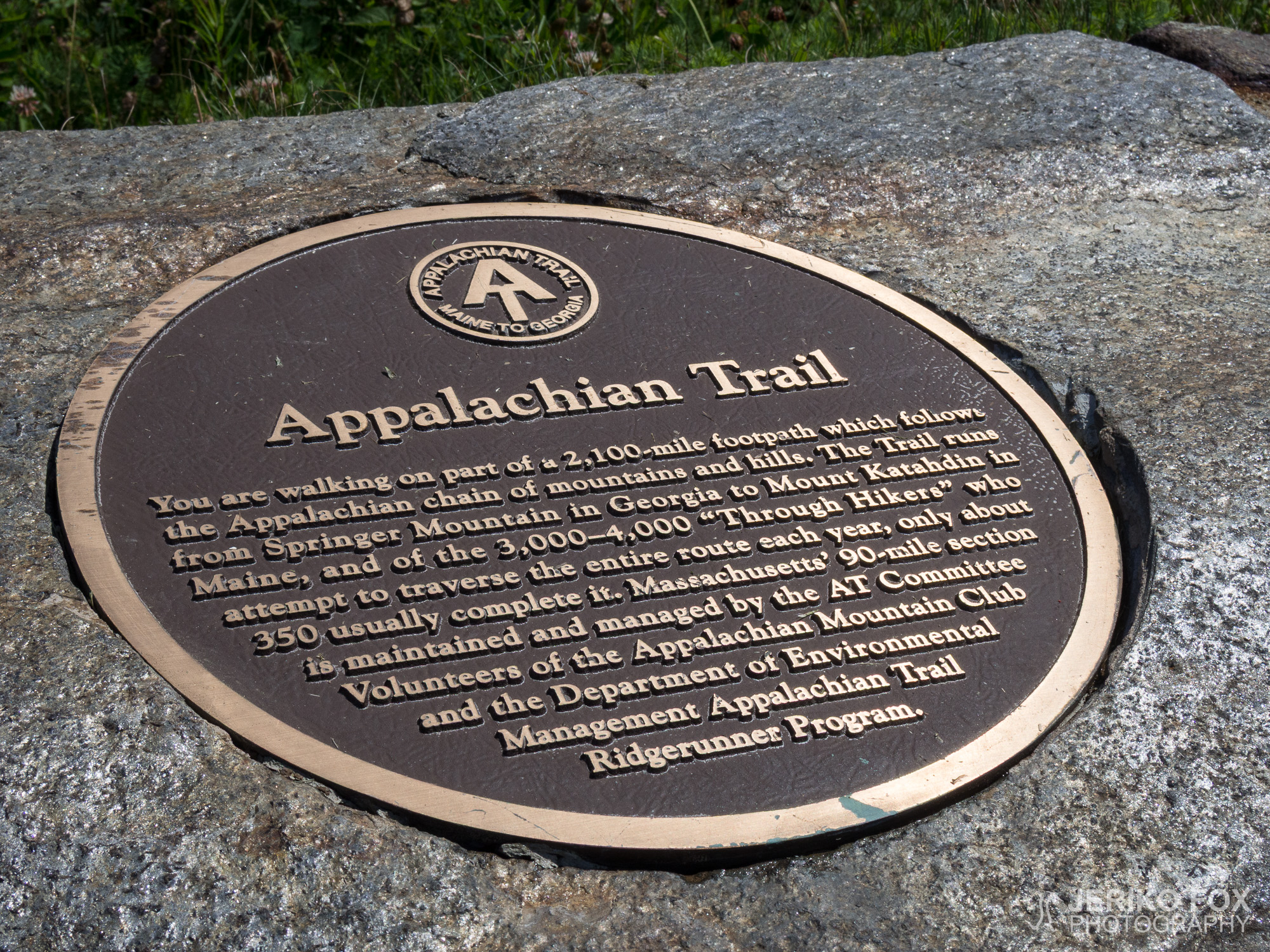
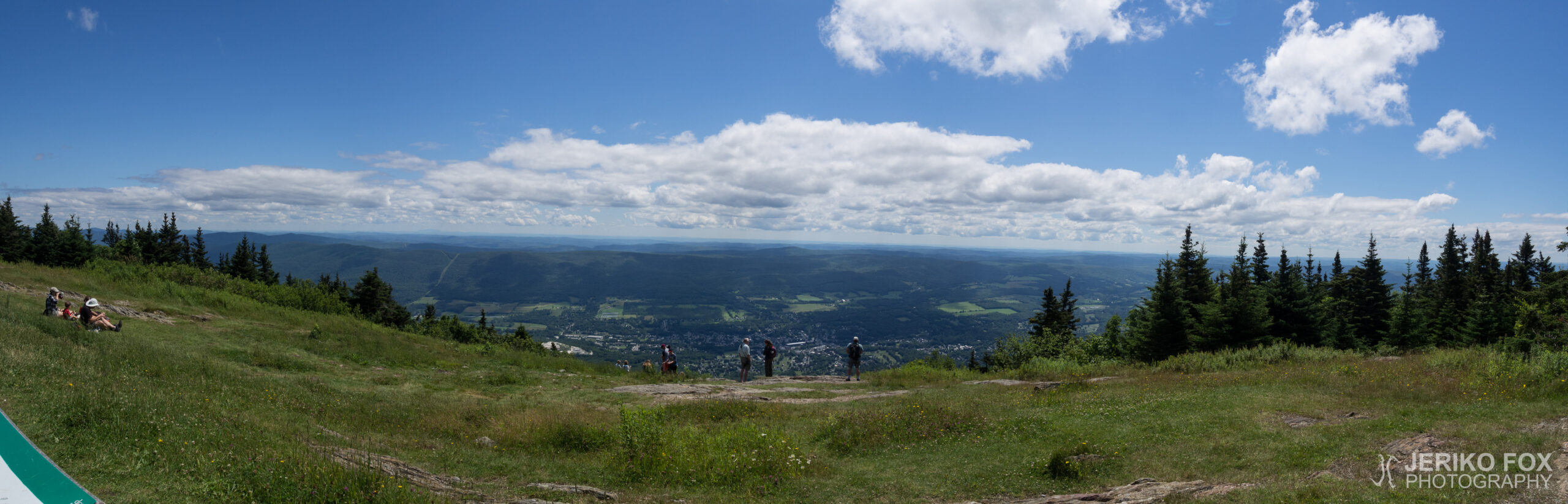
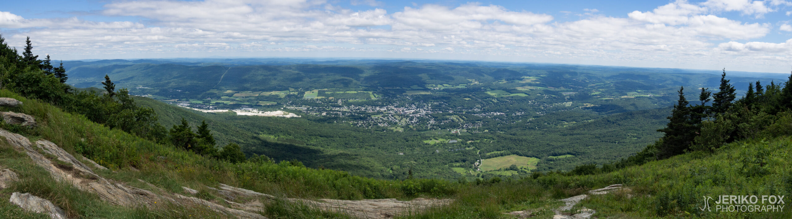
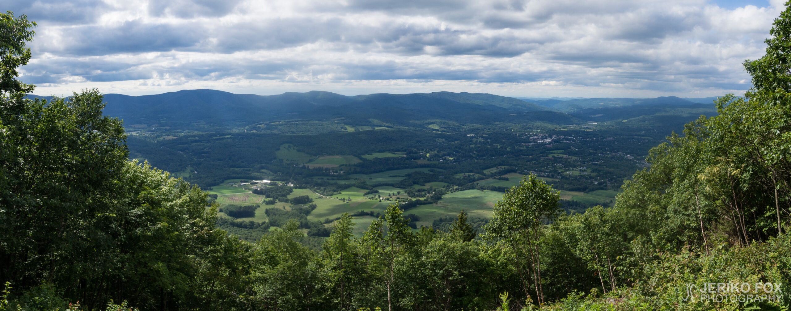
I worked my way through the people to the gower and climbed to the platform to see the view. There was enough of a crowd that I didn’t get to enjoy it quite in peace. And like New York’s Bear Mountain, Mount Graylock offered better views from the summit than the tower. This tallest peak in Massachusetts was also the first real mountain on the AT since southern Virginia. And more of the same was ahead.
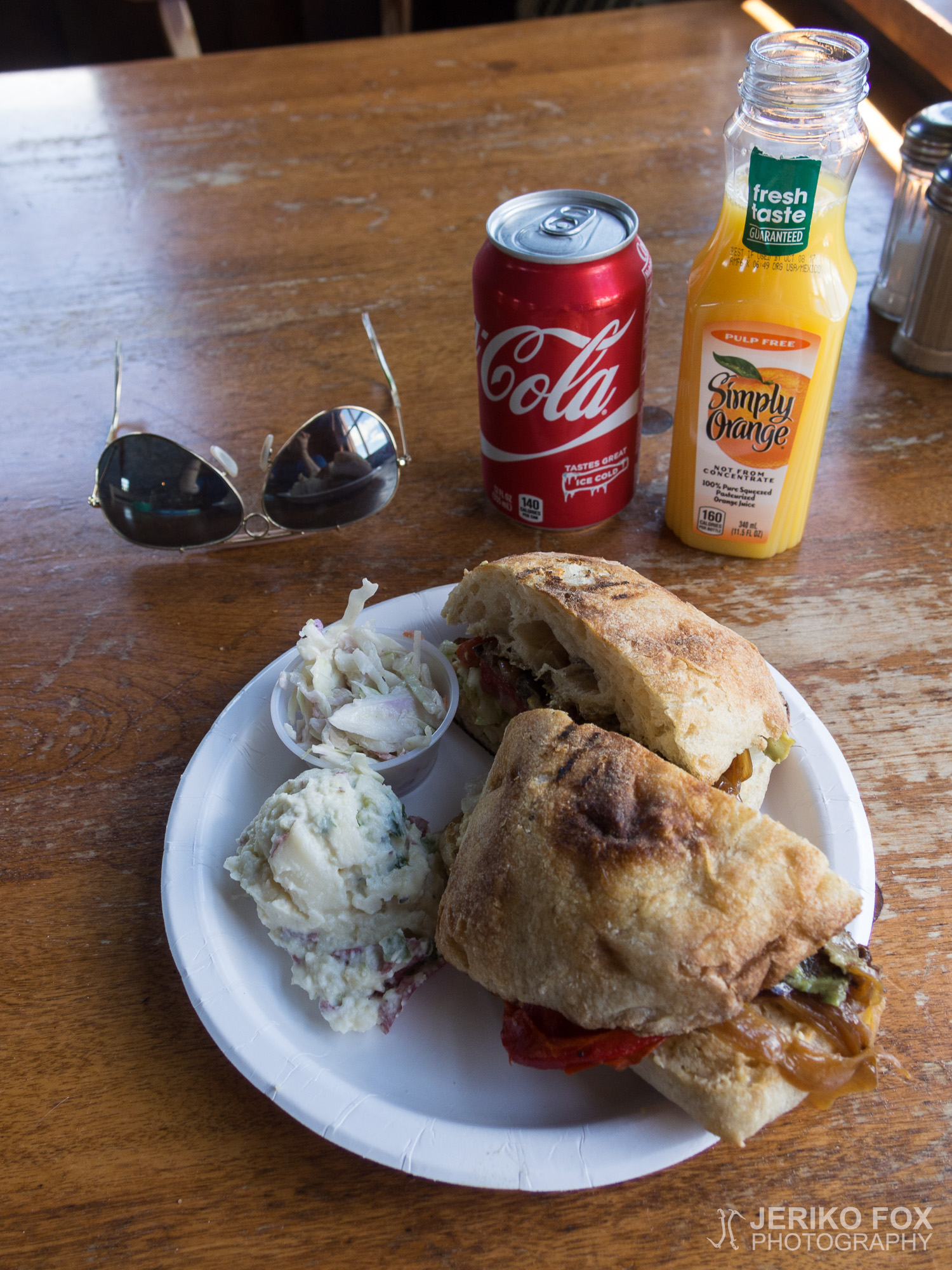
I went to Bascom Lodge next to the peak with intention to eat lunch, and saw a few hikers outside. Despite the lovely weather I decided to eat inside so that I could charge my phone while I was at it. The prices were on the higher side, but the restaurant’s hummus avocado eggplant ciabatta was really good. The little shop in the lobby sold postcards and I asked the lady if I could mail it from there. She said that they didn’t have outgoing mail, but she could drop my cards in a mailbox on her way home from work.
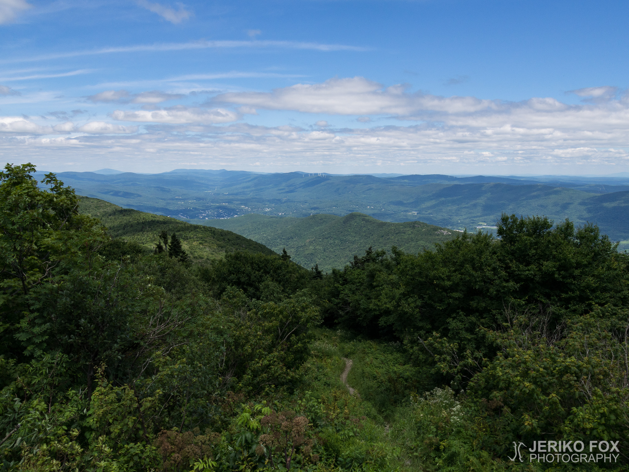
Coming down from Mount Greylock was hard. The terrain was occasionally rocky and covered in roots. Even though I was able to progress at good speed, it didn’t remove the fact that my feet hurt.
I knew I wouldn’t make it to the next shelter before dark. As I came off the mountain I passed Williamstown and pondered if I should stay at the campsite along the start of the next uphill. Because there was still daylight I wanted to go further, though. In Massachusetts camping is restricted to official spaces like in New Jersey and Connecticut. I’ve been a bit relaxed in regard to this, but in principle I strive to follow the rules. I was quite close to the Vermont border, so I decided to go at least that far so that I could camp wherever I wanted to.
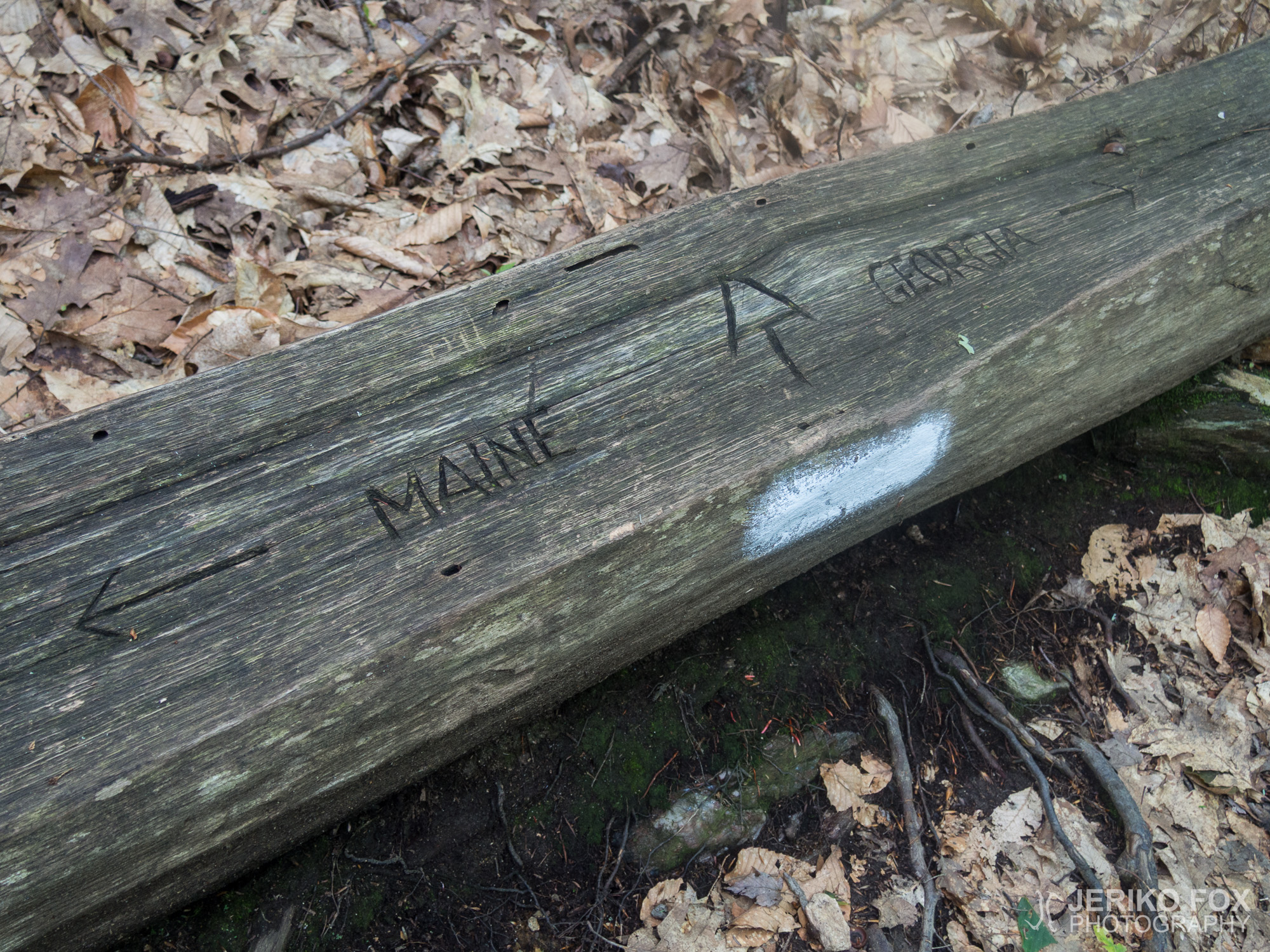
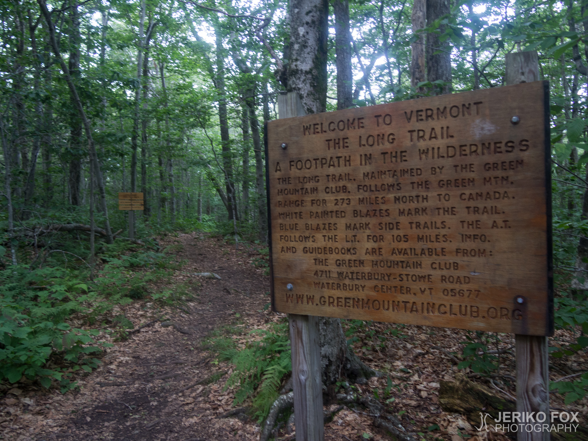
After grinding up the rocky hill I came to the Massachusetts-Vermont border at dusk. From here the AT would go the next 105 miles along the Long Trail. That 273 mile route is the USA’s oldest long distance hiking trail, and was once a kind of inspiration for the creation of the AT. From the state border I walked a little further to a stream so I could get water and found a nice place to camp near it. My feet were very tired, but I celebrated reaching Vermont. At the northern end of this state I would have a place to stay with my cousin, but that was still another 150 miles away.
Yö oli yllättävän kylmä. Laaksoon oli ennustettu noin 10°C alinta lämpötilaa, joten lähes tuhannessa metrissä oli varmasti muutaman asteen kylmempi. Tämä koetteli jo kesämakuupussini comfort-lämpötilaa, joten olin nukkumaanmennessä vetänyt lämpimät sukat jalkaan ja yöllä lisäsin vielä pitkät kalsarit. Nukuin ylipäänsä huonosti, koska lihaksia särki. En tiedä olivatko ne vain hapoilla vai vaikuttiko myös kylmyys asiaan.
Aamulla olin poikkeuksellisen tokkurainen ja aamutoimet etenivät vähän tahmeasti. Ajatus ei oikein kulkenut. Lähdin lopulta joskus ennen kymmentä jatkamaan nousua kohti Mount Greylockin huippua. Matkalla ohitin muutamia päivävaeltajia sekä lammen rannassa öljyväreillä maalaavan vanhemman miehen. Kehuin hänen teostaan kauniiksi ja hän sanoi sen olevan kauniin maiseman ansiota.
Lähestyessäni vuoren huippua alkoi jostain kuulua musiikkia. Marssimusiikkia. Ohitseni kulkenut alueen työntekijä sanoi minun tulleen hyvänä päivänä – pari vuotta remontin alla ollut muistomerkki oli juuri avattu tänään. Tullessani avoimelle huipulle, jonka laella on sodissa palvelleille Massachusettslaisille omistettu torni, seremoniat näyttivät juuri olleen loppumassa. Tornin ympärillä pyöri pukumiehiä ja veteraaneja uniformuissaan. Kaiuttimesta raikasi reipas militaarimusiikki ja liput liehuivat.
Pujottelin ihmisten välistä tornin luokse ja nousin ylätasanteelle katsomaan maisemia. Tosin tungosta oli sen verran, ettei näköalaa päässyt aivan rauhassa ihailemaan. Ja New Yorkin Bear Mountainin tavoin Mount Greylock tarjosi mukavammat näkymät ulkona olevalta tasanteelta kuin tornista. Tämä Massachusettsin korkein huippu oli myös ensimmäinen kunnon vuori AT:lla sitten eteläisen Virginian. Ja lisää sitä lajia on tulossa.
Menin huipun vieressä olevaan Bascom Lodgeen aikeissani syödä lounasta ja näin muutamia vaeltajia pihalla. Hyvästä säästä huolimatta päätin syödä sisällä, että saisin samalla ladata kännykän akun. Hintataso oli korkeanpuoleinen, mutta ravintolan hummus-avokado-munakoiso -ciabatta oli kyllä todella hyvää. Respan pienestä myymälästä sai postikortteja ja kysyin työntekijältä saisinko kortin lähetettyä täältä. Nainen kertoi, ettei heillä ollut ulosmenevää postia, mutta hän sanoi voivansa pudottaa korttini postilaatikkoon mennessään töistä kotiin.
Laskeutuminen Mount Greylockilta oli raskas. Maasto oli ajoittain kivikkoinen ja juurakkoinen. Vaikka pystyin kulkemaan hyvällä vauhdilla niin se ei poistanut sitä tosiasiaa, että jalkojani särki.
Tiesin, etten ennättäisi ennen pimeää seuraavalle shelterille. Vuorelta laskeuduttuani ohitin Williamstownin ja pohdin jäisinkö ylämäen alussa olevalle teltta-alueelle. Kun päivänvaloa kuitenkin vielä oli niin halusin jatkaa pidemmälle. Massachusettsissa telttailua on rajoitettu vain virallisille teltta-alueille kuten New Jerseyssä ja Connecticutissakin. Olen hieman joustanut tämä asian suhteen, mutta pyrin pääasiassa kunnioittamaan sääntöjä. Olin melko lähellä Vermontin osavaltion rajaa, joten päätin mennä sinne asti, jolloin voisin ihan luvan kanssa telttailla missä haluan.
Tahkottuani ylämäen kivikkoineen tulin illan hämärtyessä Massachusettsin ja Vermontin rajalle. Tästä eteenpäin AT olisi seuraavat 105 mailia yhtä Long Trailin kanssa. Tuo 273 mailin reitti on Yhdysvaltain vanhin pitkän matkan vaellusreitti ja ollut aikoinaan eräänlainen inspiraatio Appalachian Trailin luomiselle. Kävelin osavaltion rajalta vielä pienen matkan purolle saadakseni vettä ja löysin sen tuntumasta hyvän telttapaikan. Jalat olivat väsyneet, mutta iloitsin Vermontin saavuttamisesta. Tämän osavaltion pohjoispäässä minua nimittäin odottaisi yöpaikka serkkuni luona, mutta sinne olisi vielä 150 mailia.
Max elevation: 1073 m
Total time: 10:41:00