
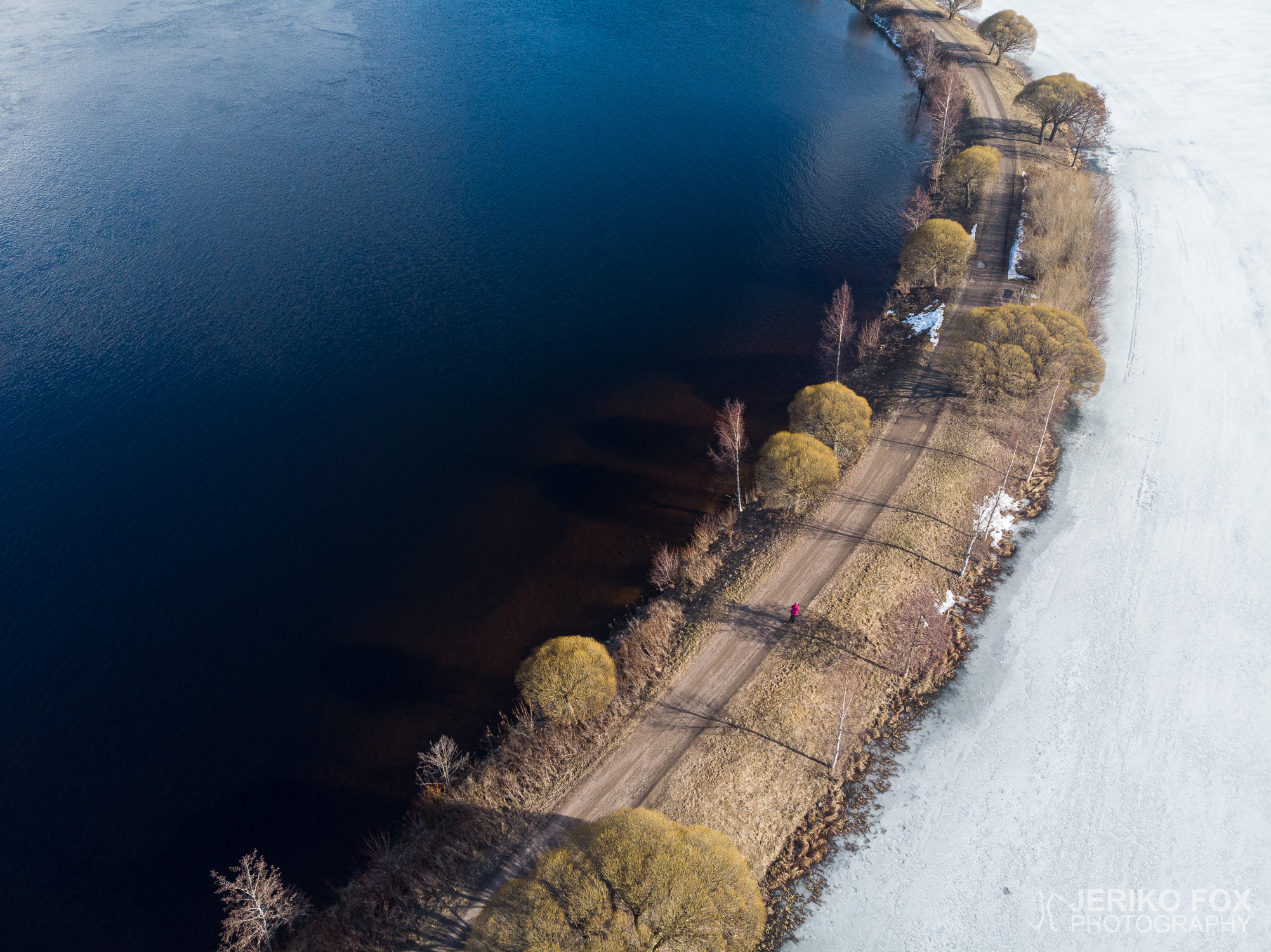
In Imatra, nearby the River Vuoksi, there are quite a few nature trails of different lengths. These are easy to approach, because the trail heads are in the middle of the town, which also allows taking public transport. From this selection we picked the Mellonlahti Trail, which was described to be about 3,6 km (2.2 mi). We parked our car close to the State Hotel of Imatra and from that century old jugend castle we took the stairs down to the River Vuoksi.
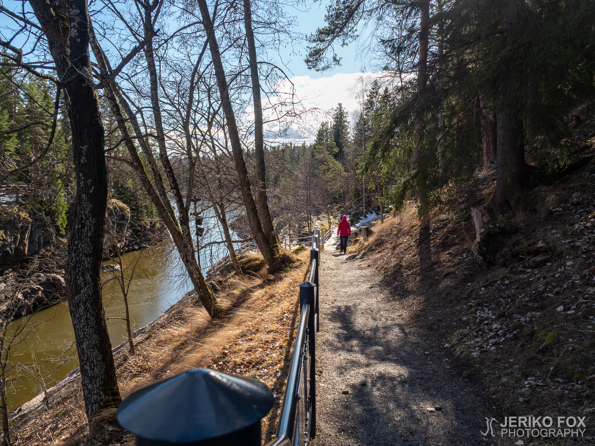
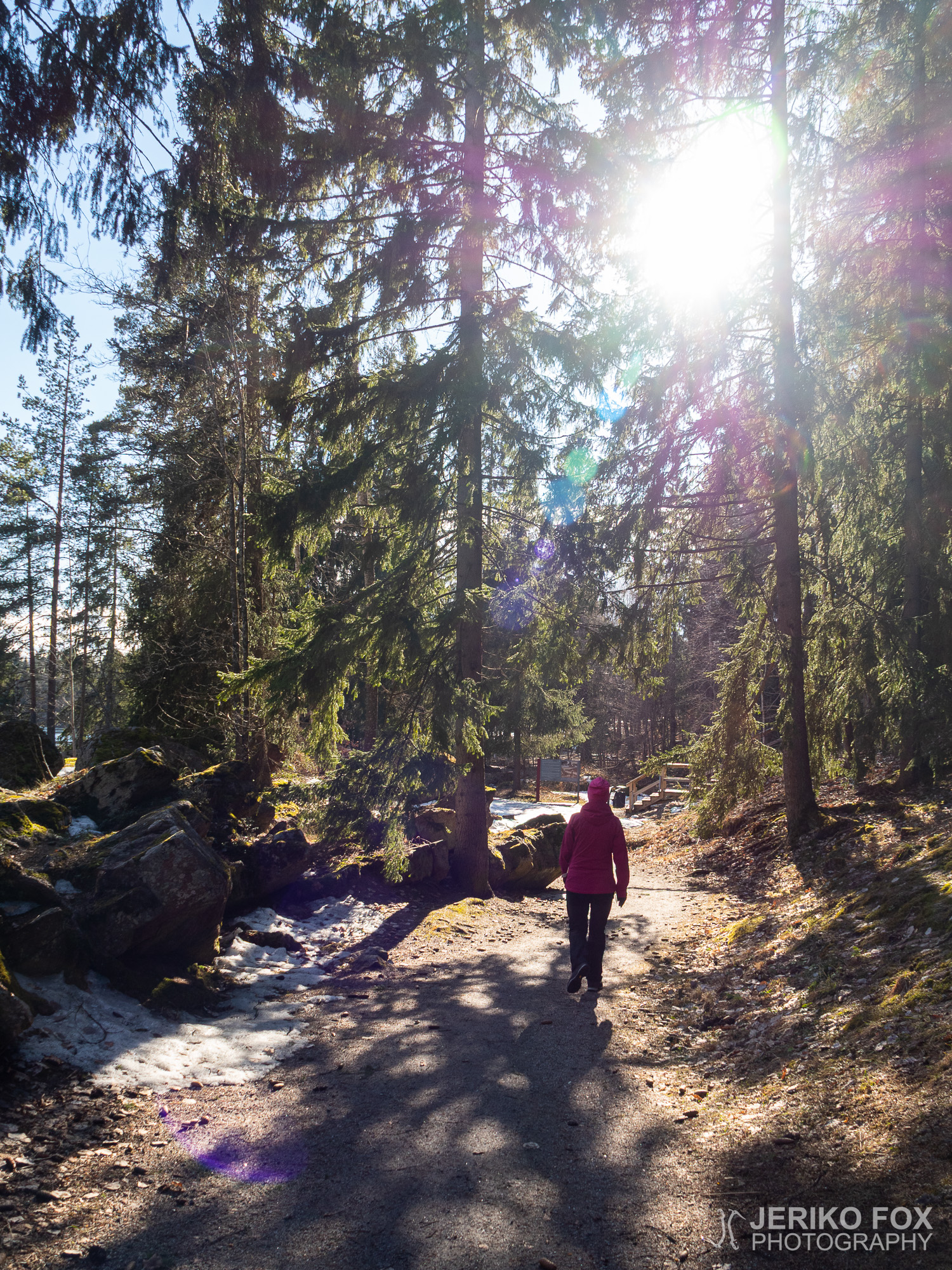
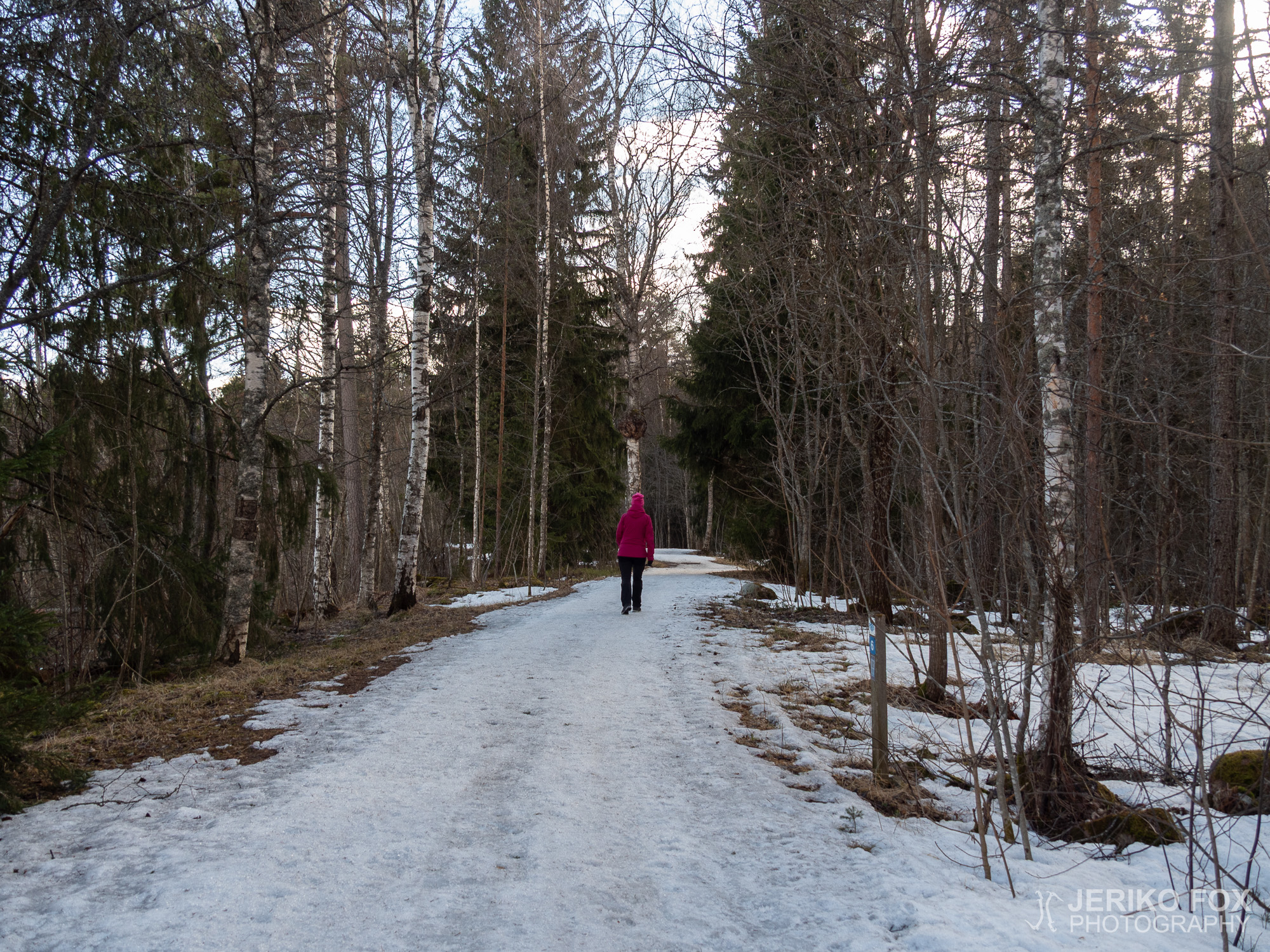
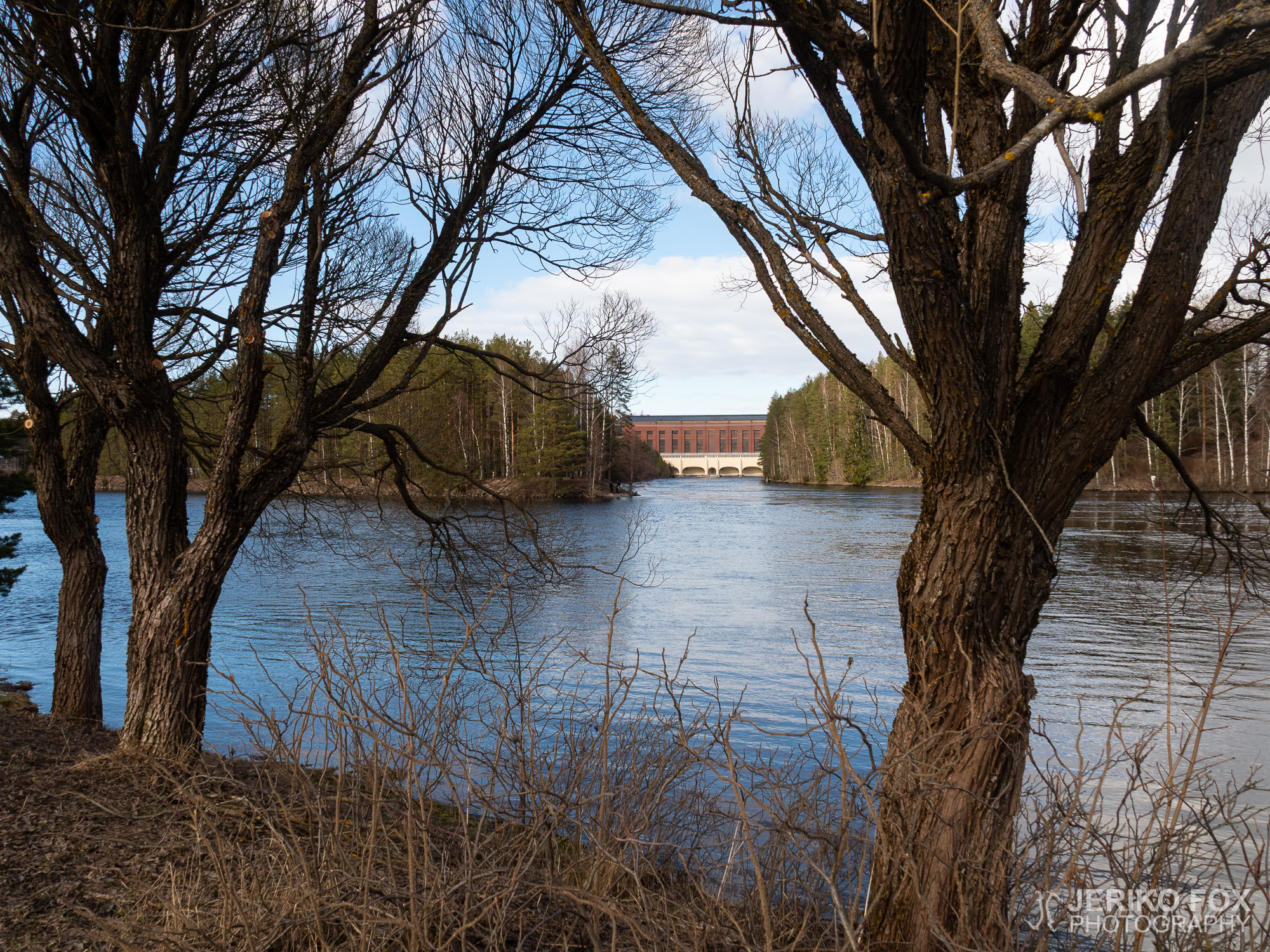
The Mellonlahti Trail goes down the river and the rugged river bed is a magnificent sight. Most of the snow was gone thank to the sunny days, but some of the sections in the woods had still a bit of snow. The trail passes by the outdoors theatre, which was due the corona restrictions serving as a practice area for kick scooters doing their stunts.
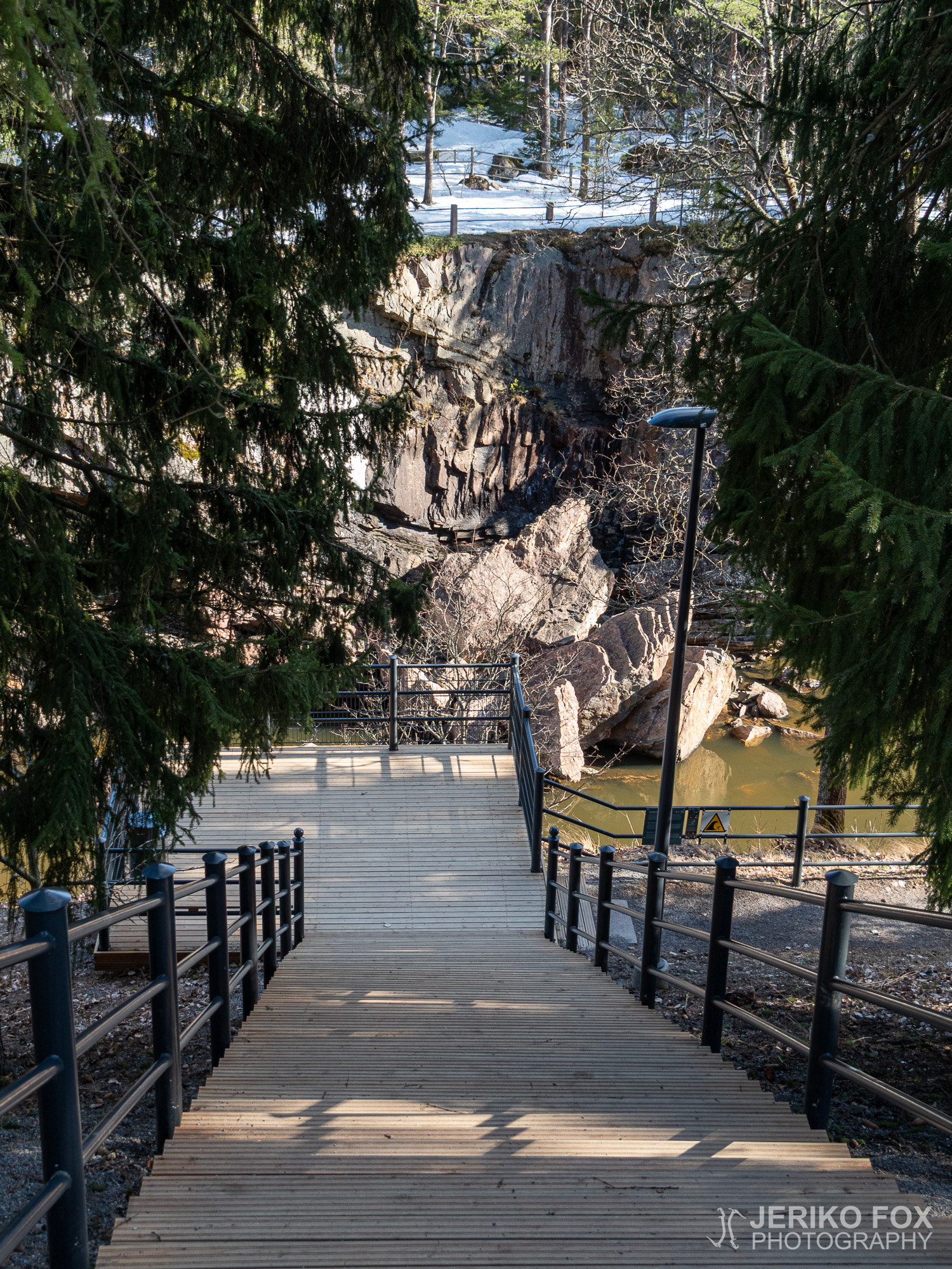
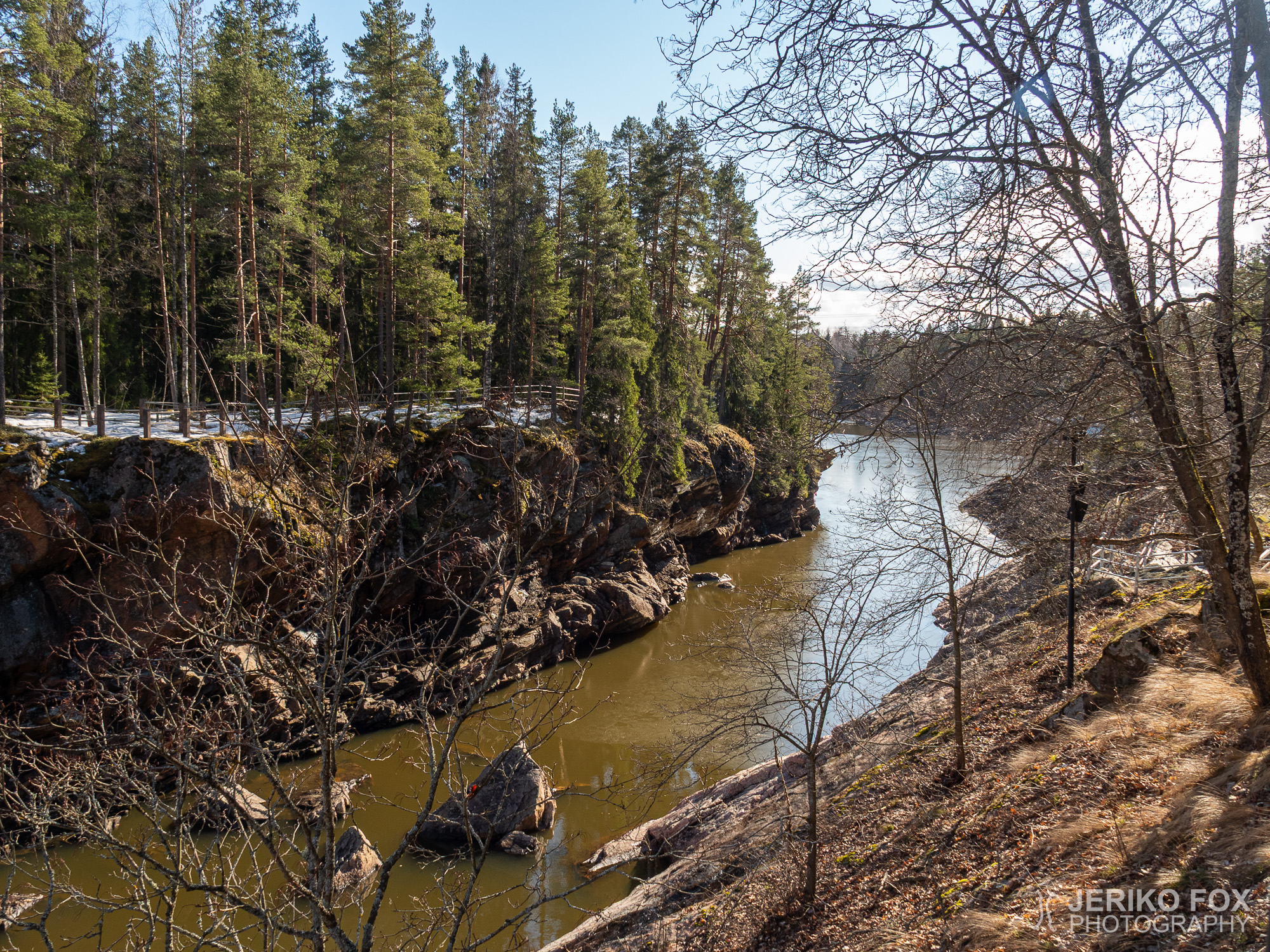
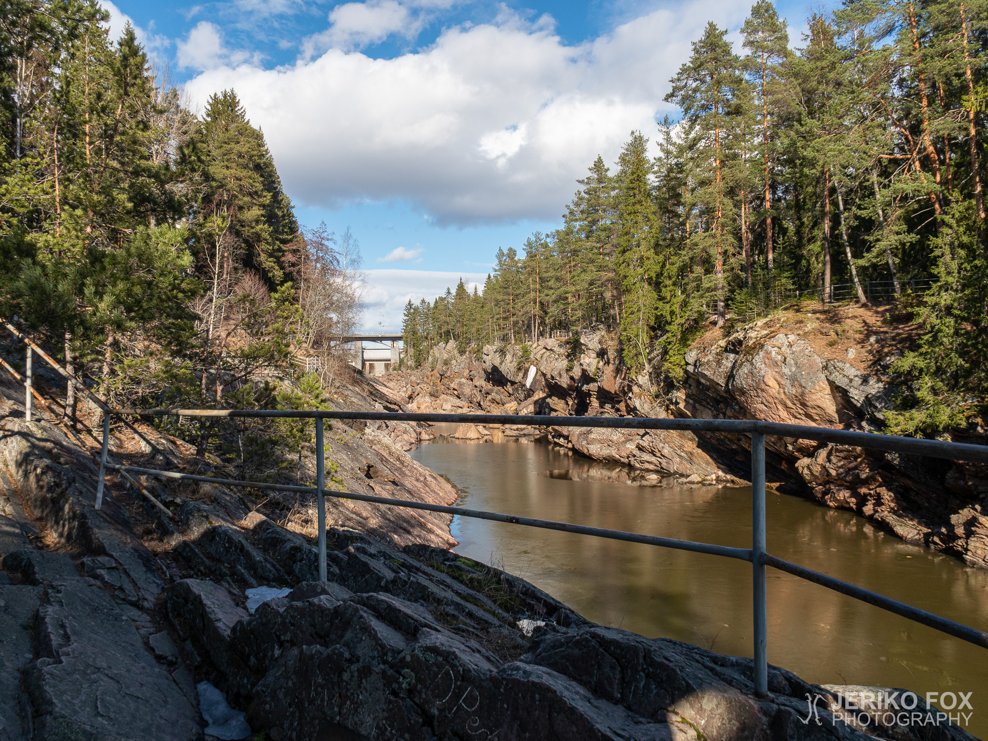
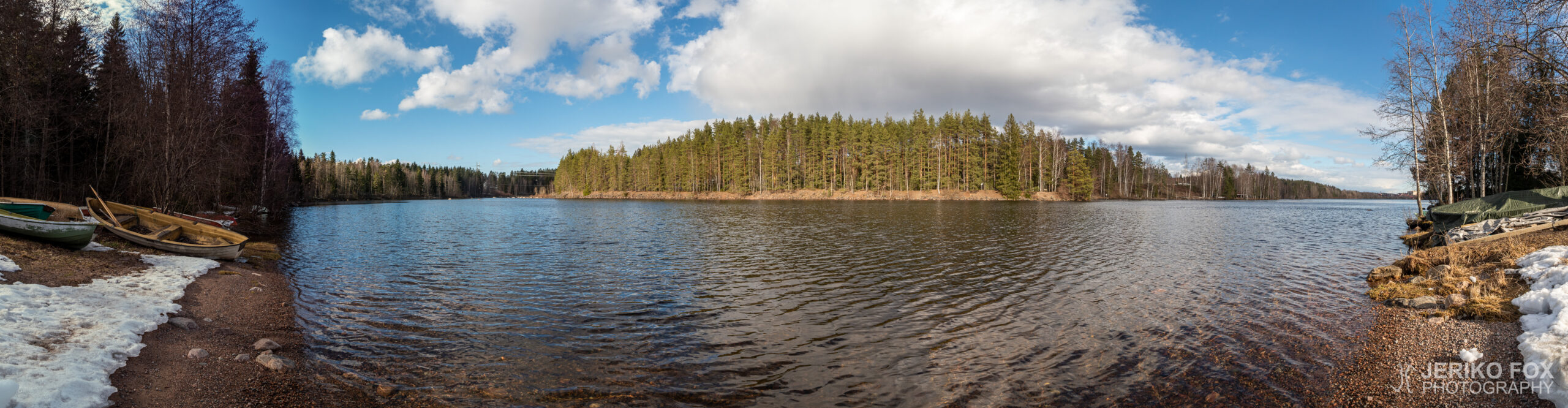
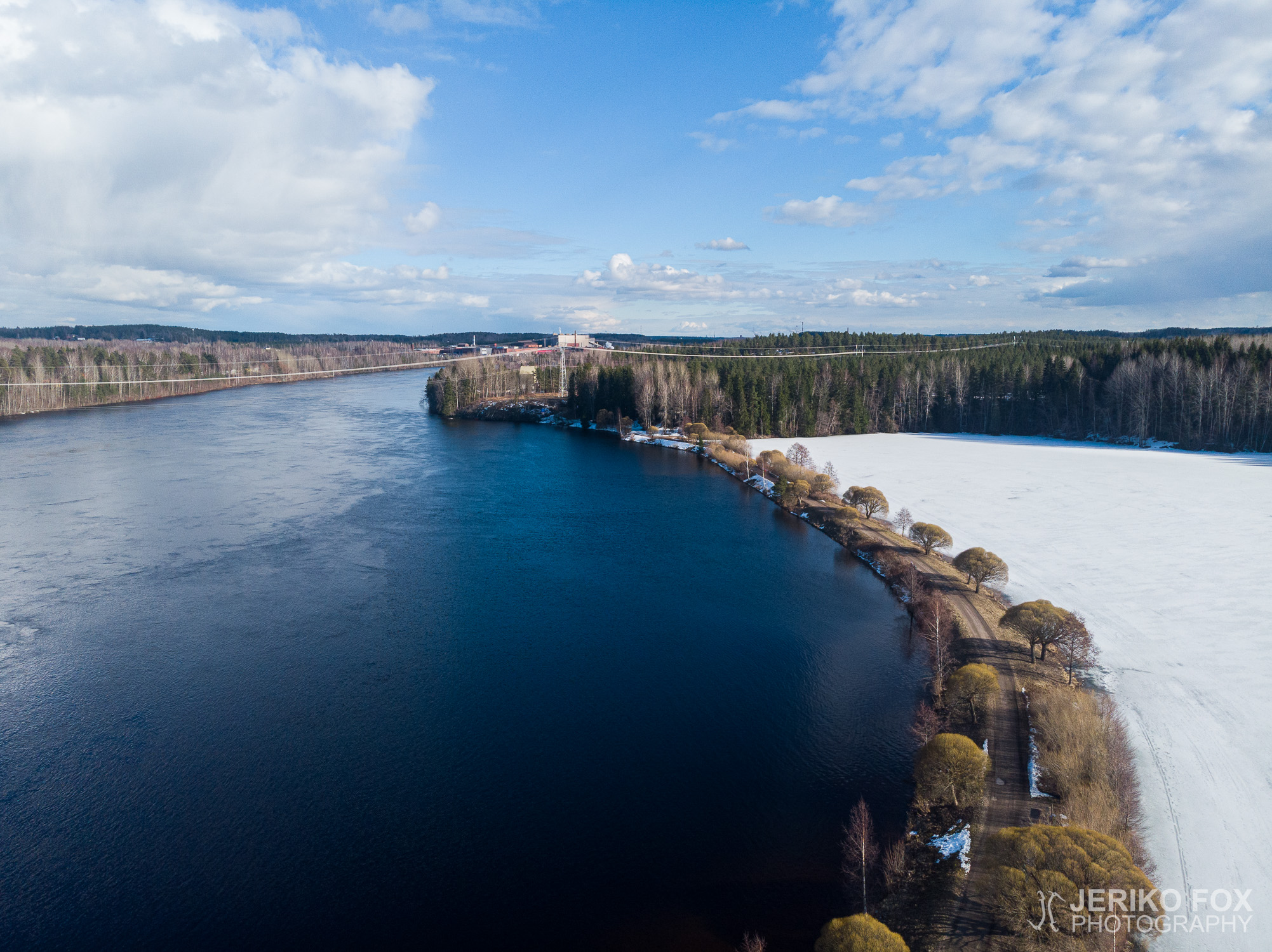
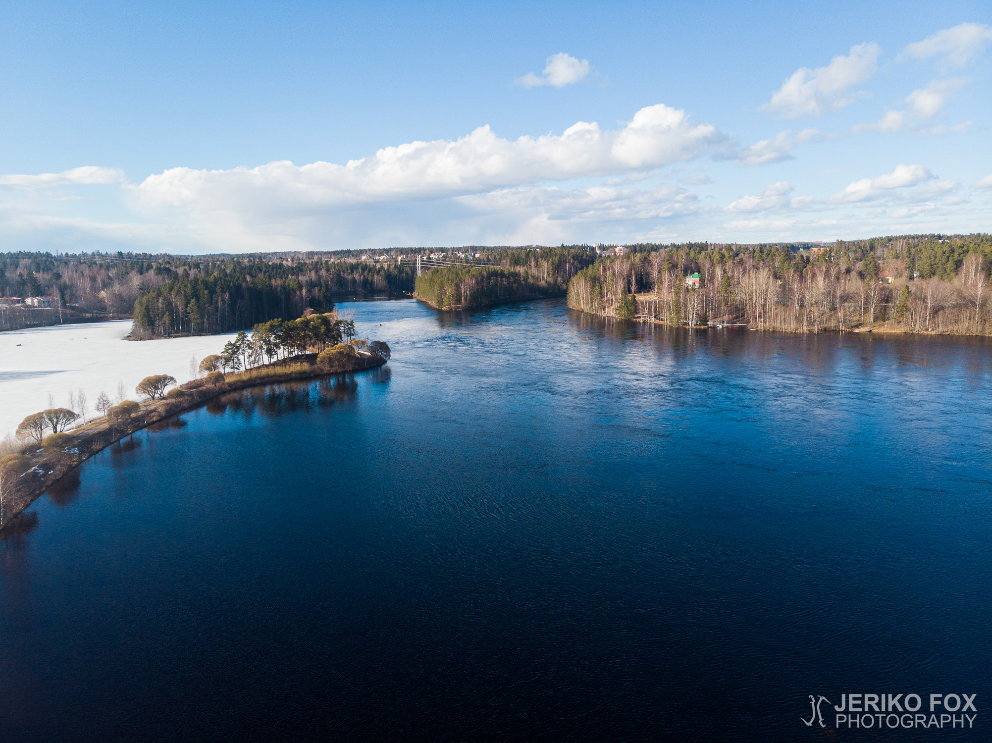
Before arriving to the Mellonlahti Bay, there is a small cove with a lean-to on the right hand side. Apparently one can cross the waters to the lean-to along the fishing dock during the summer, but it was still waiting on the shore for the ice to melt. The bay itself is one of the most interesting parts of the trail, because the bay is separated from the River Vuoksi by a narrow isthmus. This scenic land bridge takes you to the other side of the bay, where is the turnaround point.
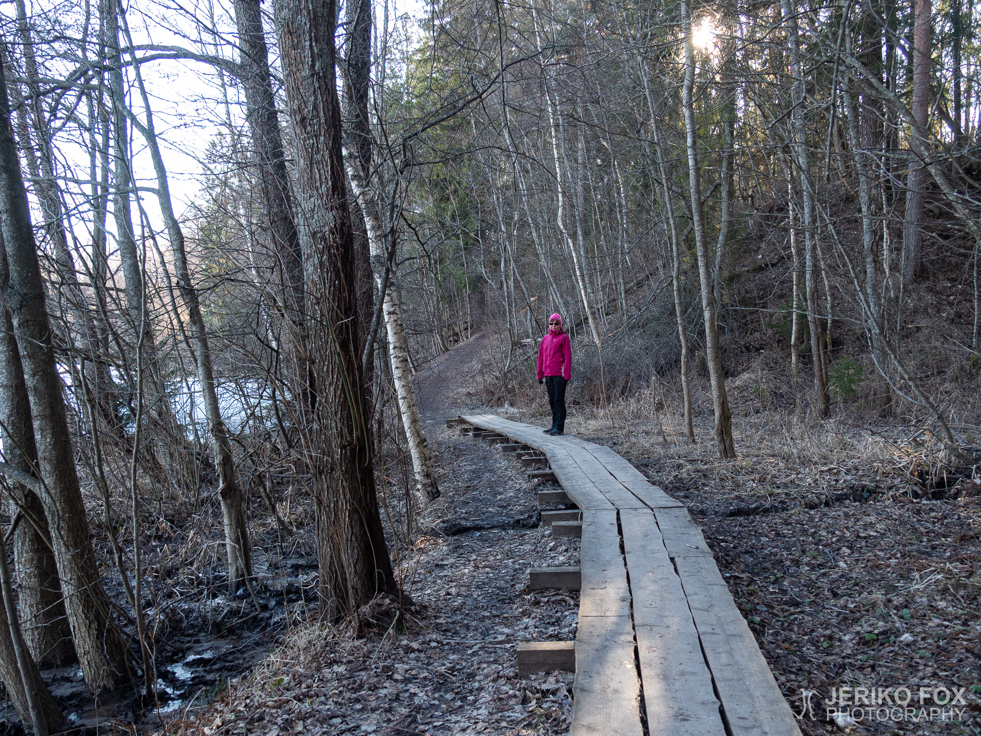
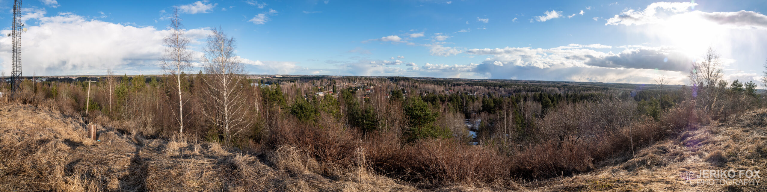
Crossing the isthmus once again takes you back to the vicinity of the lean-to, where you turn away from the river. The other end of the trail (the route itself is actually shaped like letter Y upside down) leads to the top of the Mellonmäki Hill. This section of the trail was more icy and had more snow in early April, so at places we really had to watch our steps. Especially as we climbed on the top of the hill there was bit challenges to find a route that wouldn’t be too icy to climb on a steep hill. During the summer the hill is not a bad climb at all and there are several routes to the top.
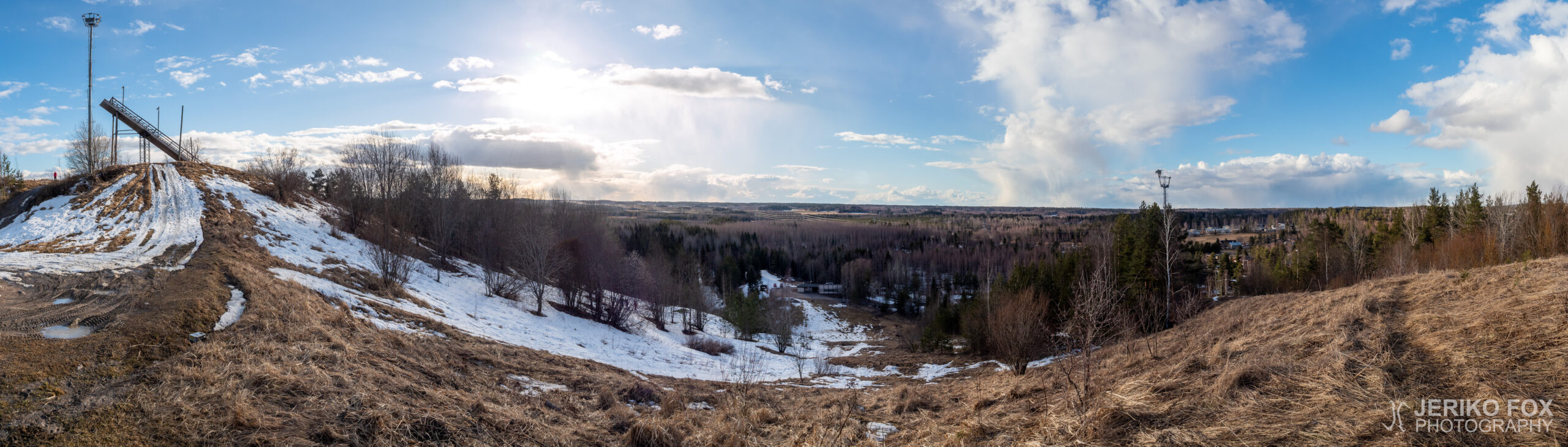
There used to be a ski slope at the Mellonmäki and this area seems to lay on the other side of the hill. In addition there is a ski jumping hill, which is apparently still in active use, and a small lean-to. The view to the slopes is not as attractive as the one towards the River Vuoksi. As the weather was clear, the pulp and paper mill on the other side of the border – in Svetogorsk, Russia – could be seen.
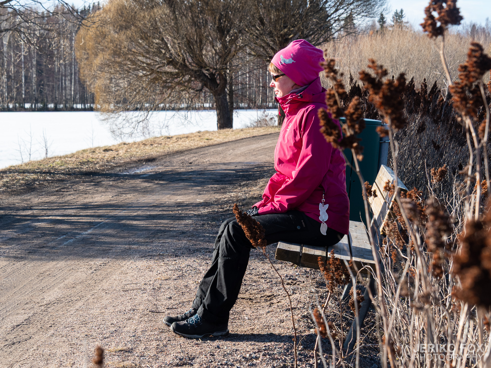
The 3,6 km (2.2 mi) mentioned in the trail description is done on the top of the hill. One can return the same route along the river, but we ended up taking a bit of a shortcut and walking along the Viipurintie back to the State Hotel. That made the distance about 6 km (3.7 mi). It is possible to visit only one end of the trail – Mellonlahti or Mellonmäki – if one wishes to do a bit shorter trip. The shelters at the bay or on the hill are perfect places for a little break with snacks. If one wishes to finish the hike with more glamour, there is nothing to stop you to eating at the State Hotel restaurant.
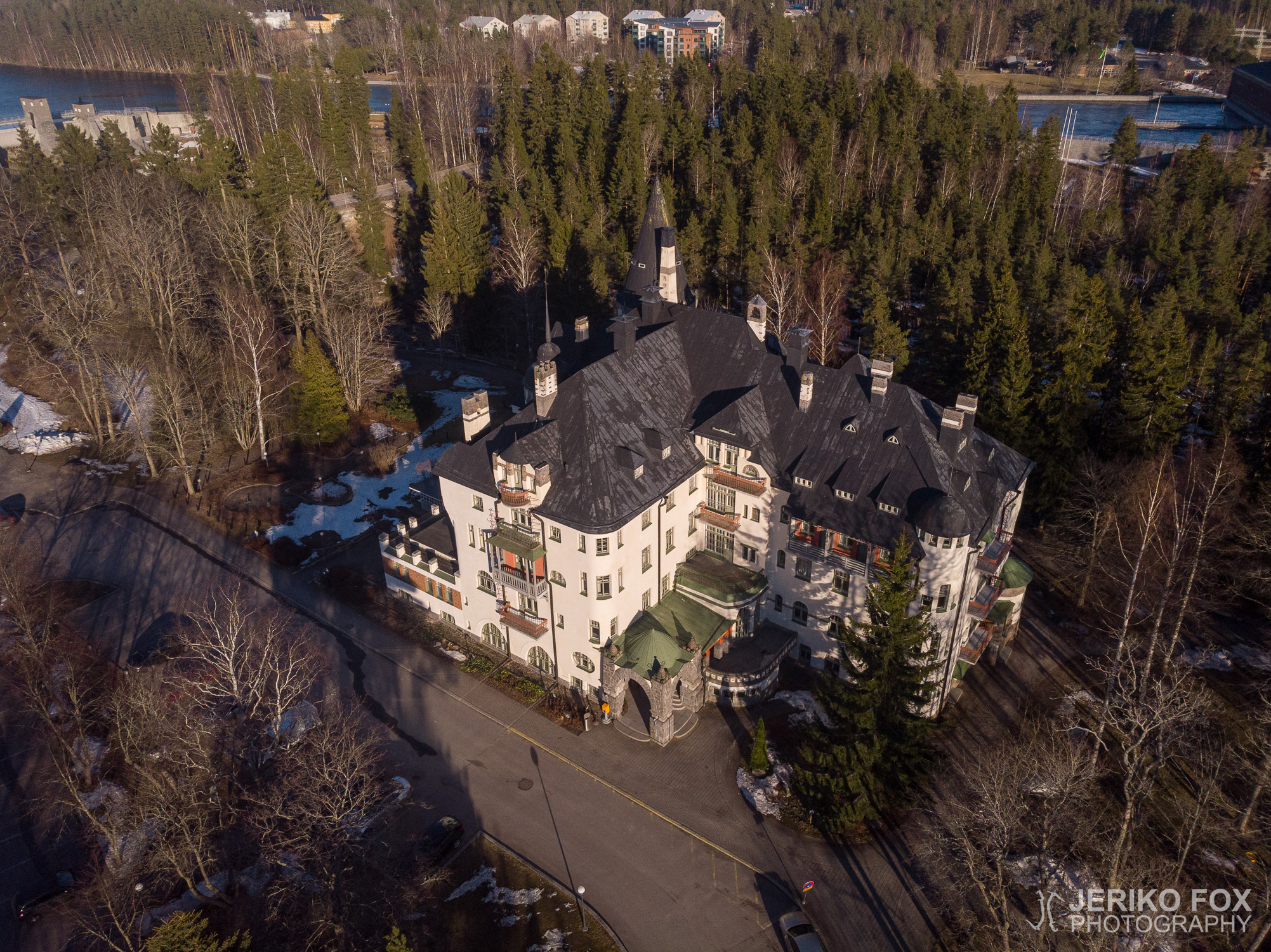
Imatralla Vuoksen ympäristössä kulkee useampikin eri mittainen luontopolku. Näitä on helppo lähestyä, koska ne alkavat keskeltä kaupunkia, jonne pääsee myös julkisilla. Me otimme keväisen päivän ohjelmaan kohdetiedoissa noin 3,6 km mittaiseksi mainitun Mellonlahden luontolenkin. Auton parkkeerasimme Imatran valtionhotellin lähelle ja tuon yli satavuotiaan jugendlinnan pihapiiristä suuntasimme portaita alas kohti Vuoksen uomaa.
Mellonlahden lenkki kulkee alajuoksulle päin ja jylhä jokiuoma on näyttävä nähtävyys. Aurinko oli sulattanut jo reitin suurelta osin kuivaiksi, mutta metsäisimmillä pätkillä oli vielä hieman lunta. Polku kulkee kesäteatterin takaa, joka näytti palvelevan näin korona-aikana pääasiassa nuorten skuuttaajien temppupaikkana.
Ennen Mellonlahdelle saapumista, on reitin oikealla puolella pieni poukama, jossa on laavu. Laavulle pääsee ilmeisesti kesäaikana kulkemaan kalastuslaituria pitkin, mutta nyt se odotti vielä rannassa lahden sulamista. Itse Mellonlahti onkin reitin kiinnostavimpia kohteita, koska lahden erottaa Vuoksesta kapea kannas. Tätä maisemallista maasiltaa pitkin pääsee kulkemaan lahden toiselle puolelle, jossa on polun kääntöpaikka.
Kannasta pitkin palataan siis takaisin laavun lähettyville, josta käännytään poispäin Vuokselta. Reitin toinen pää (reitti itsessään on ylösalaisen Y-kirjaimen muotoinen) johtaa nimittäin lähellä olevalle Mellonmäelle. Tämä osuus polusta oli vielä huhtikuun alussa selvästi lumisempi ja jäisempi, joten paikoin sai kulkea melko varovaisesti. Erityisesti lähtiessämme nousemaan Mellonmäen laelle oli pieniä haasteita löytää reitti, joka ei olisi liian jäinen kuljettavaksi jyrkässä rinteessä. Kesäolosuhteissa mäki siis ei ole mitenkään mahdoton noustavaksi ja reittejä laelle on useampia.
Mellonmäellä on aiemmin ollut laskettelukeskus, jonka rinteet näyttäisivät laskeutuvan poispäin Vuokselta. Lisäksi paikalla on hyppyrimäki, joka on ilmeisesti yhä aktiivisessa käytössä, sekä pieni laavu. Näköala laskettelukeskuksen suuntaan ei ollut erityisen kaunis, mutta Vuokselle päin avautuva maisema puolestaan oli viehättävämpi. Sään ollessa varsin kirkas, saattoi nähdä hyvin Venäjän puolella Svetogorskissa olevan sellutehtaan.
Reittiselosteessa mainittu 3,6 km matka tulee täyteen Mellonmäen huipulla. Sieltä voi halutessaan palata samaa reittiä rantaa pitkin lähtöpisteeseen. Me päädyimme oikaisemaan hieman ja kävelemään Viipurintietä pitkin takaisin valtionhotellille. Näin kokonaismatkaksi tuli suunnilleen 6 km. Mellonlahden reitin voi helposti kulkea käyden vain toisessa päätepisteessä – Mellonlahdella tai Mellonmäellä – jos haluaa tehdä hieman lyhyemmän lenkin. Evästauon voi pitää hyvin Mellonlahden tai Mellonmäen laavulla tai hieman enemmän glamouria kaipaavalle soveltuu retken lopuksi vaikka valtionhotellin ravintola.
Max elevation: 94 m
Total time: 01:54:48