
Post-AT: Returning to Finland
The bus ride from Maine to Georgia made my feet swell. My ankles were as...
The bus ride from Maine to Georgia made my feet swell. My ankles were as...
“Third boxcar midnight train, destination Bangor, MaineOld worn out suit and shoes, I don’t pay...
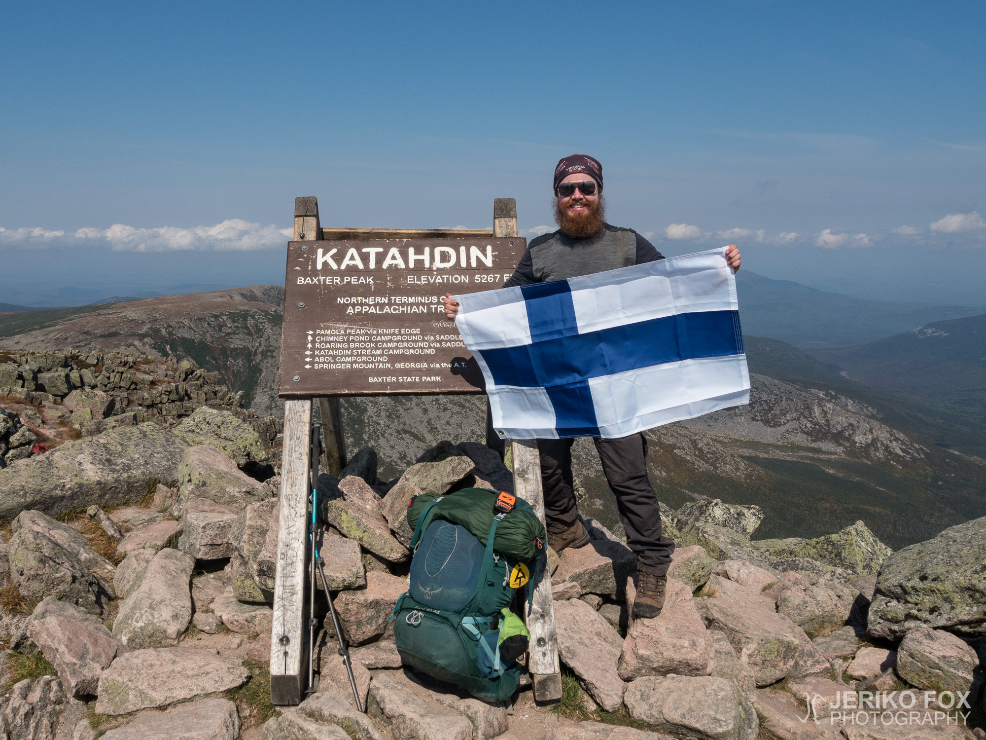
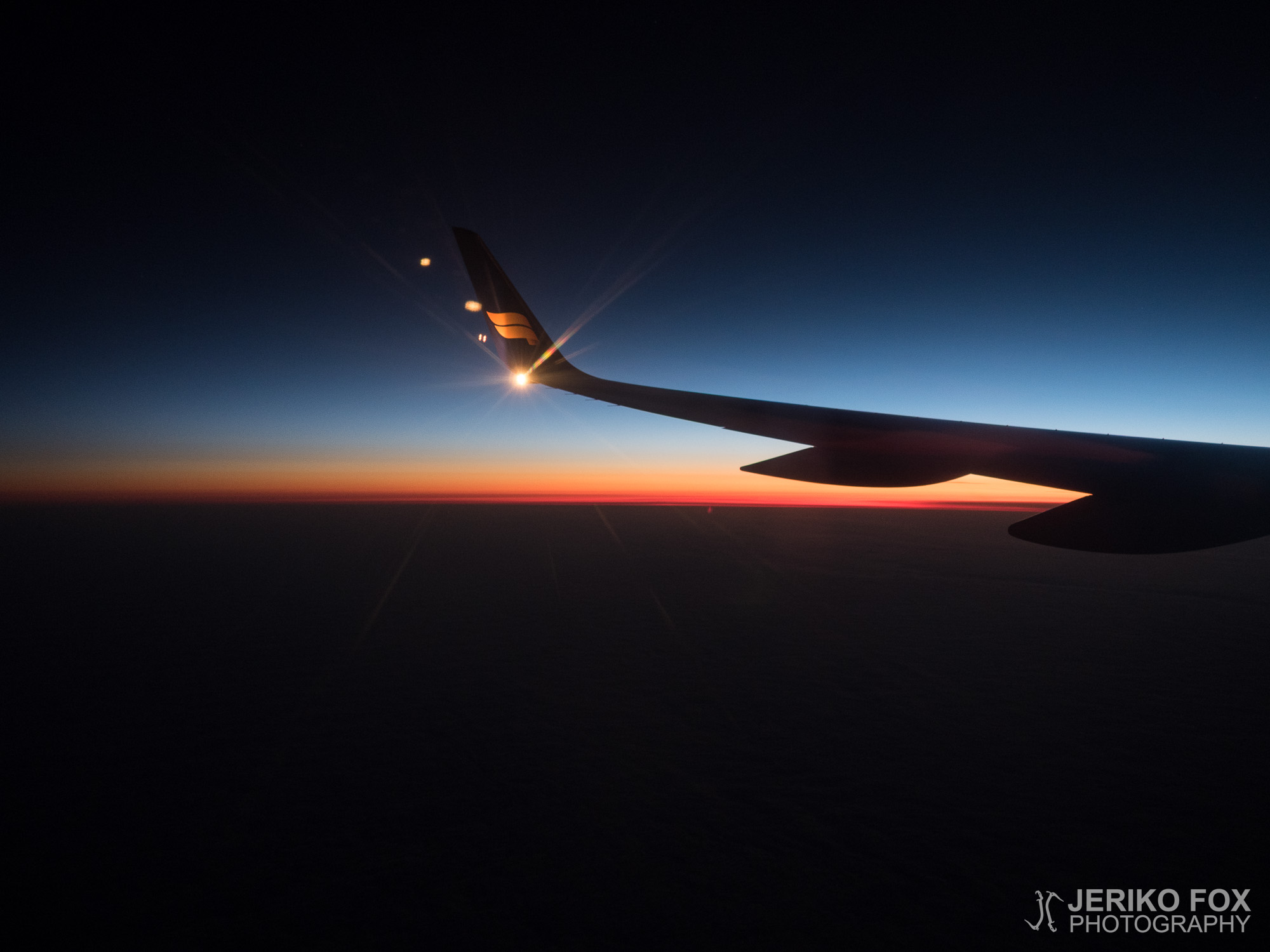
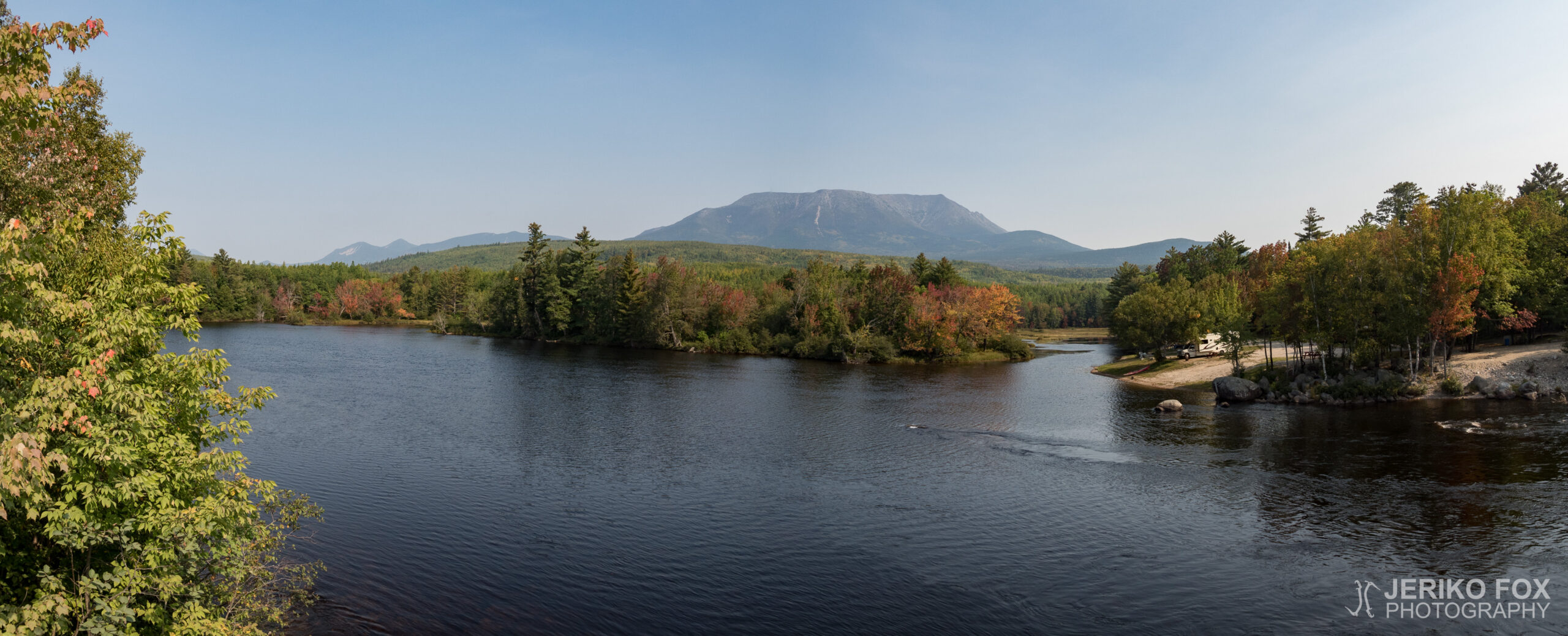
14,46 km (9 miles) 2189.8 / 2189.8 miles Appalachian Trail Lodge, Millinocket, ME It was...
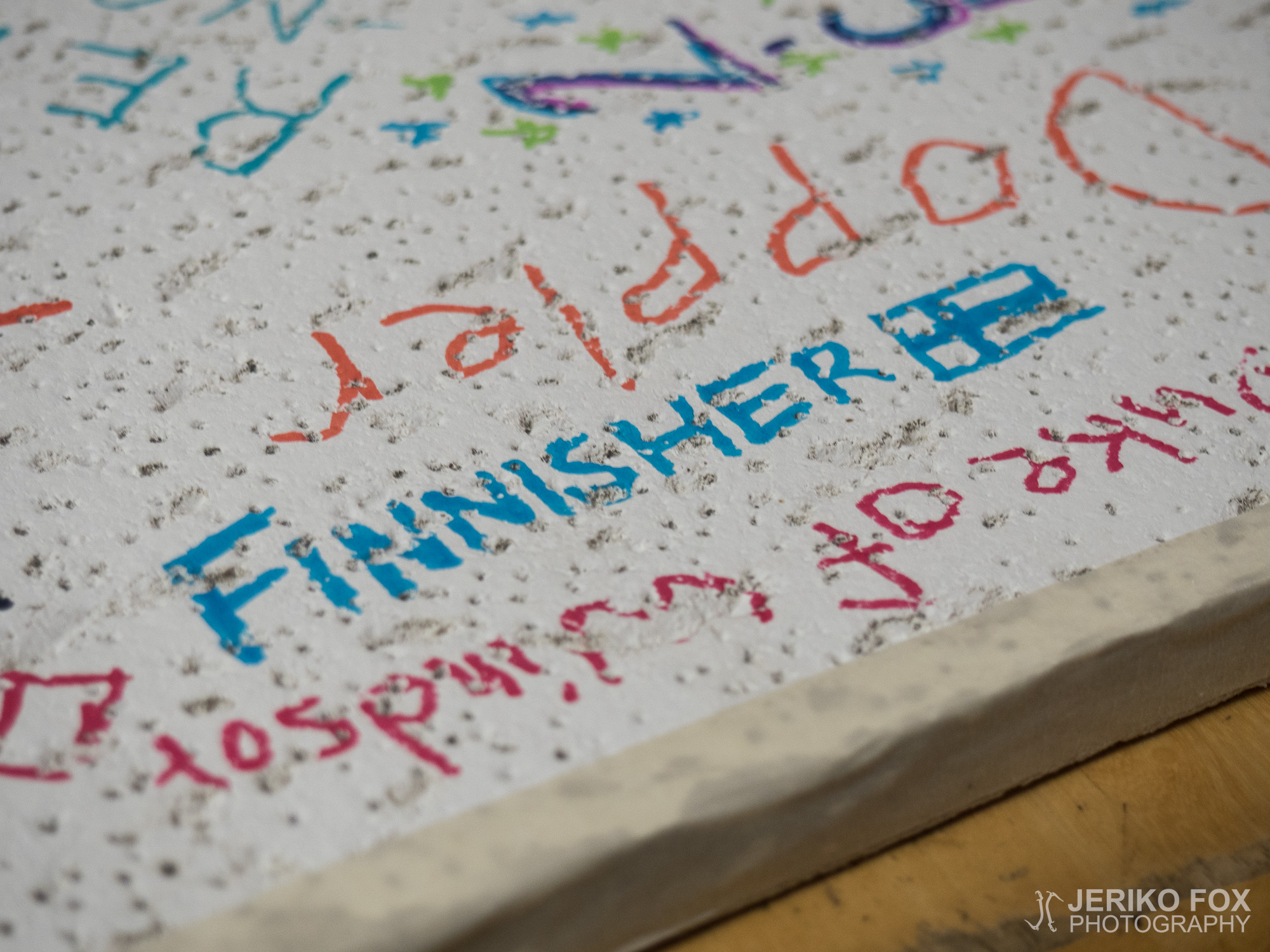
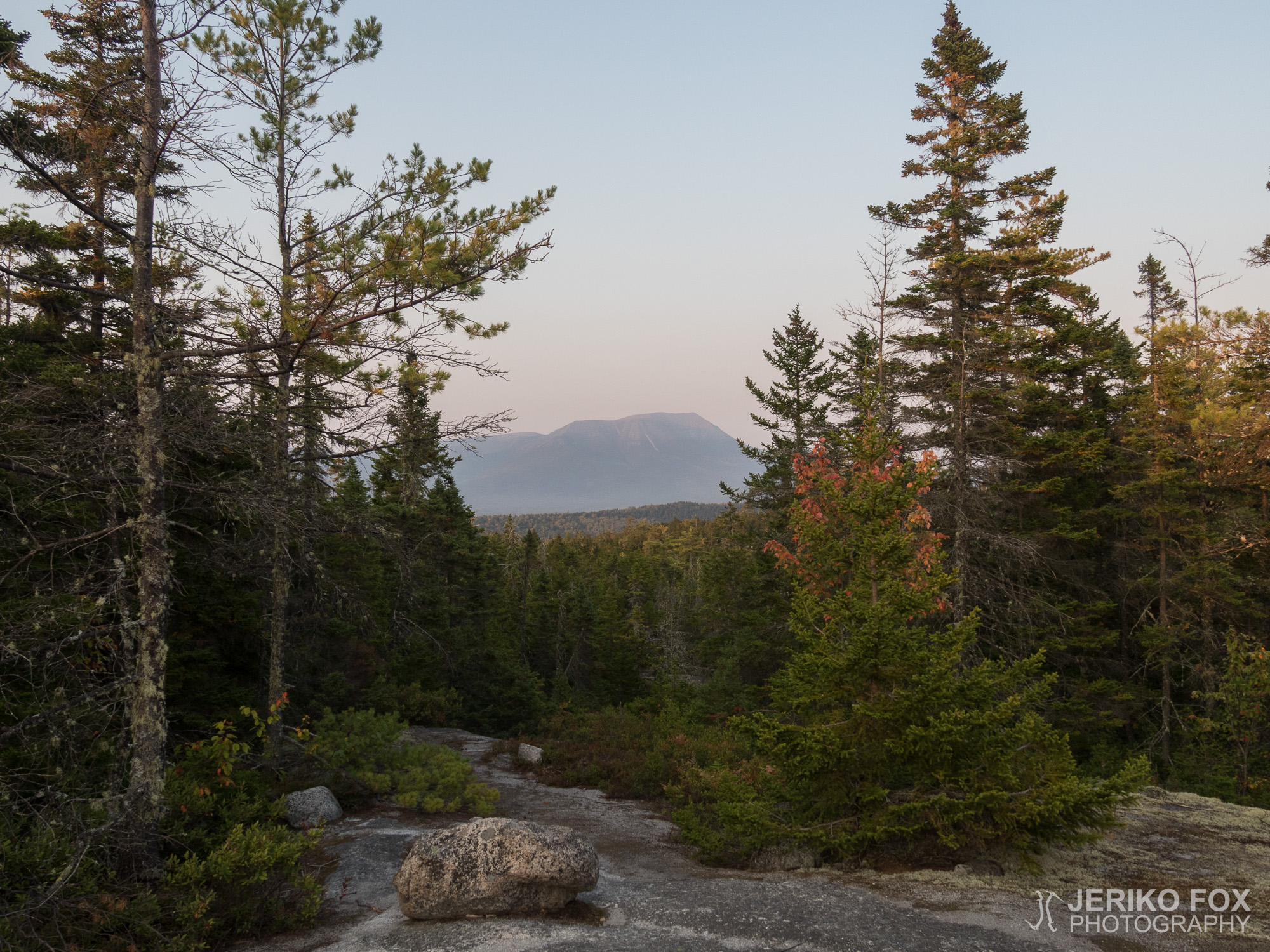
19,99 km (12.4 miles) 2184.6 / 2189.8 miles The Birches, Katahdin Stream Campground, ME I...
22,12 km (13.7 miles) 2171.2 / 2189.8 miles Hurd Brook Lean-to, ME I rolled from...
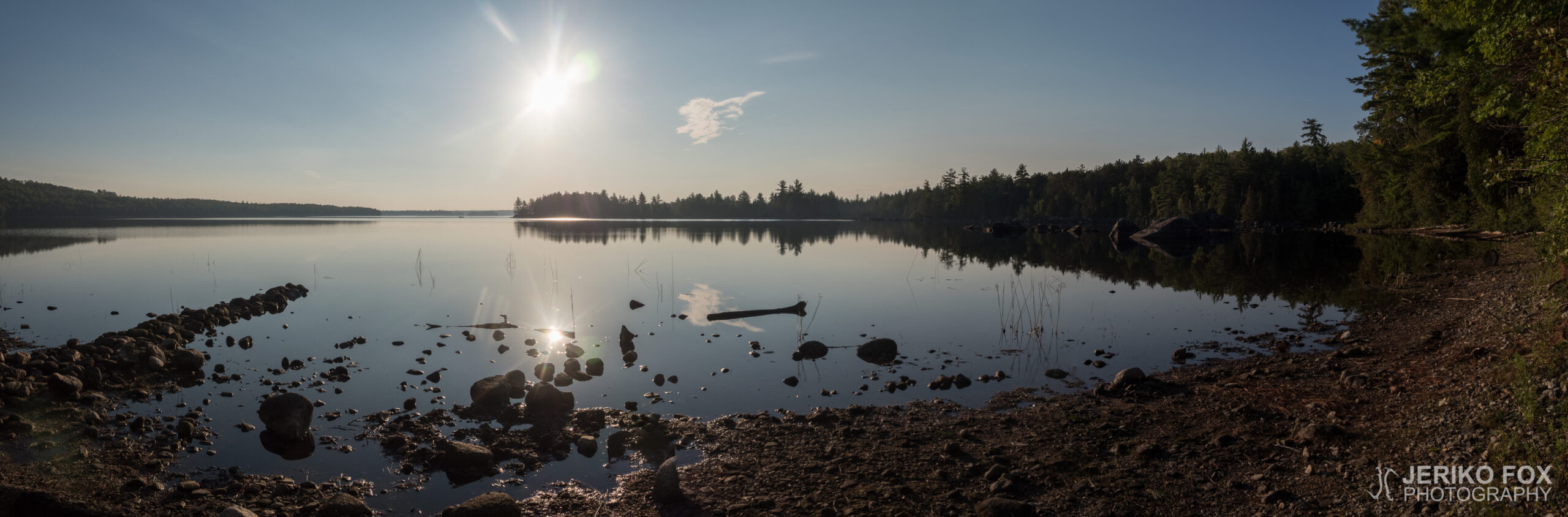
25,53 km (15.9 miles) 2155.4 / 2189.8 miles Stealth campsite, ME Behind the tent door...
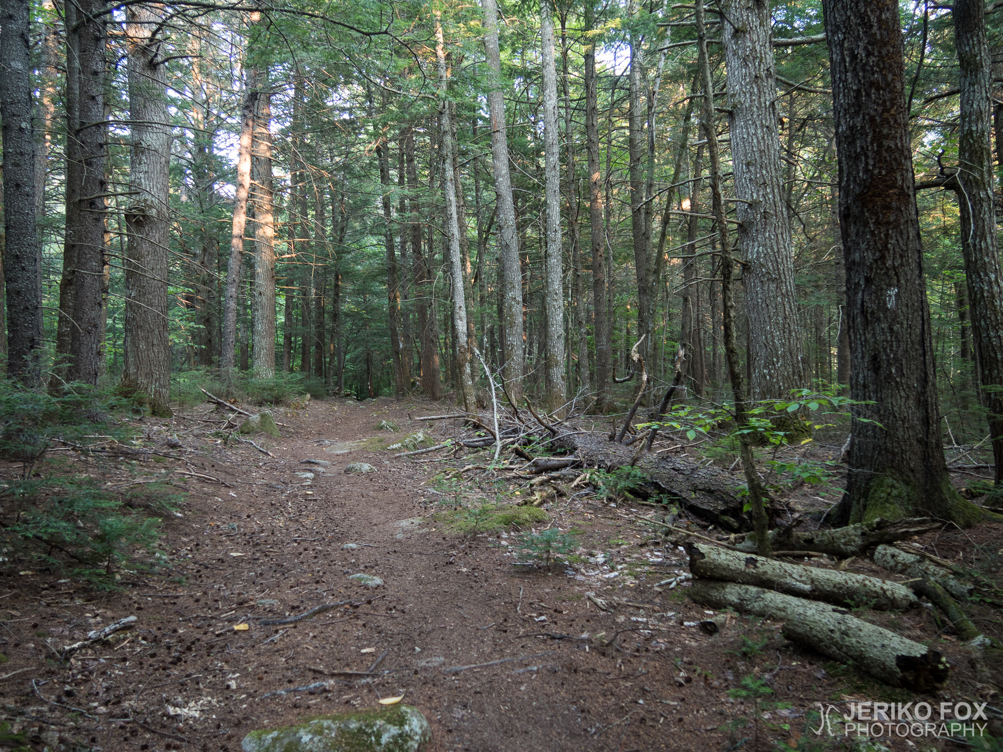
29,14 km (18.1 miles) 2138.0 / 2189.8 miles Antler’s Campsite, ME I had been pondering...