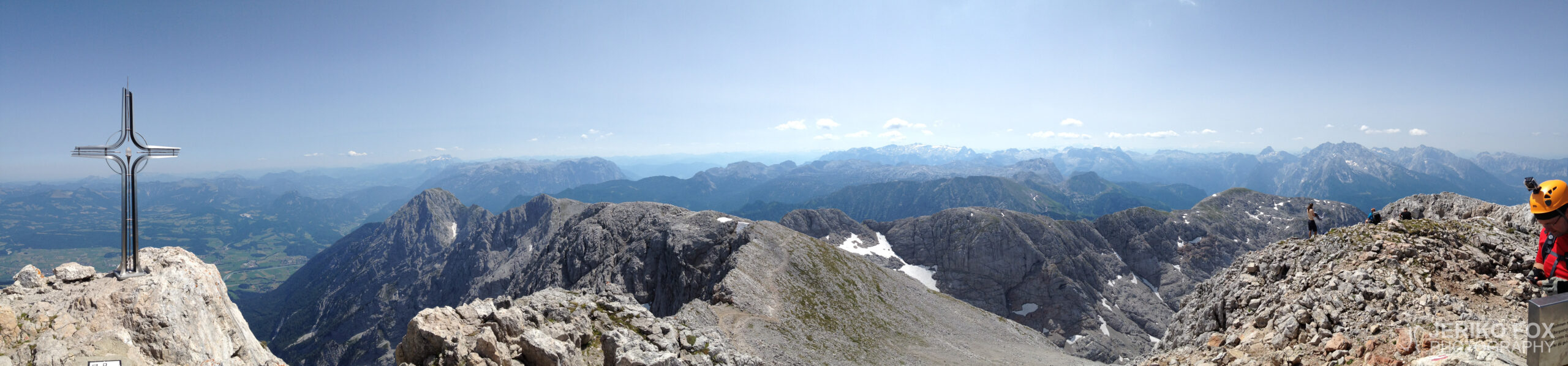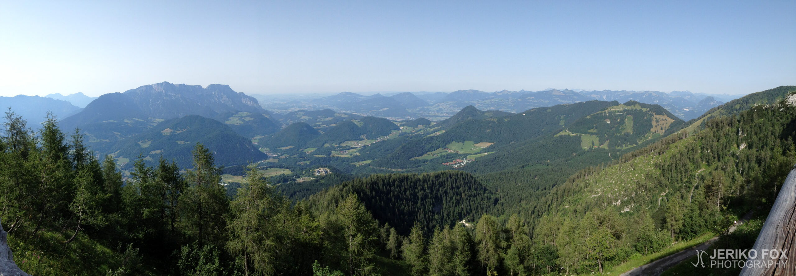
 By Jeriko Fox

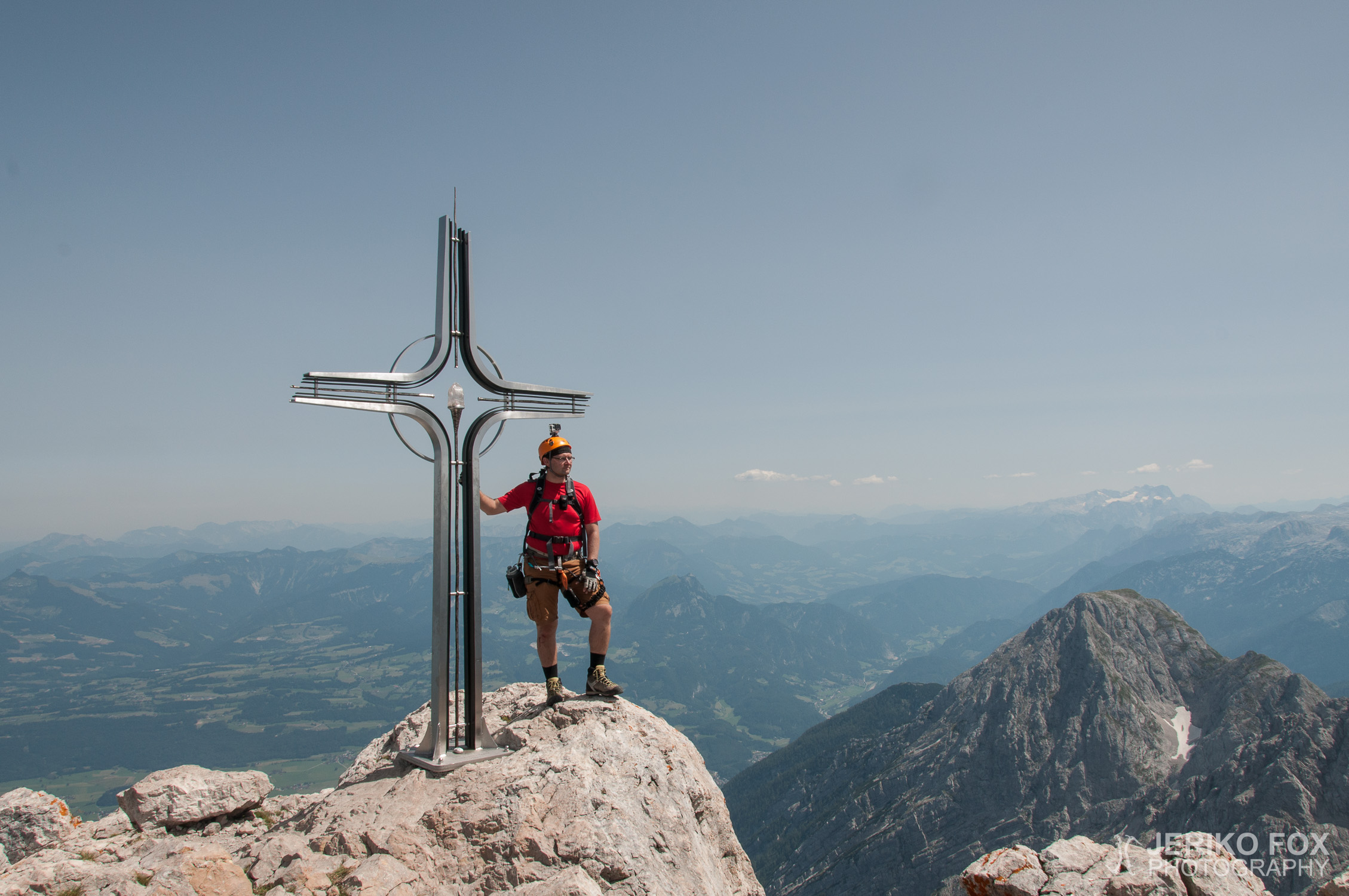
Elevation: 2522 m
Prominence: 789 m
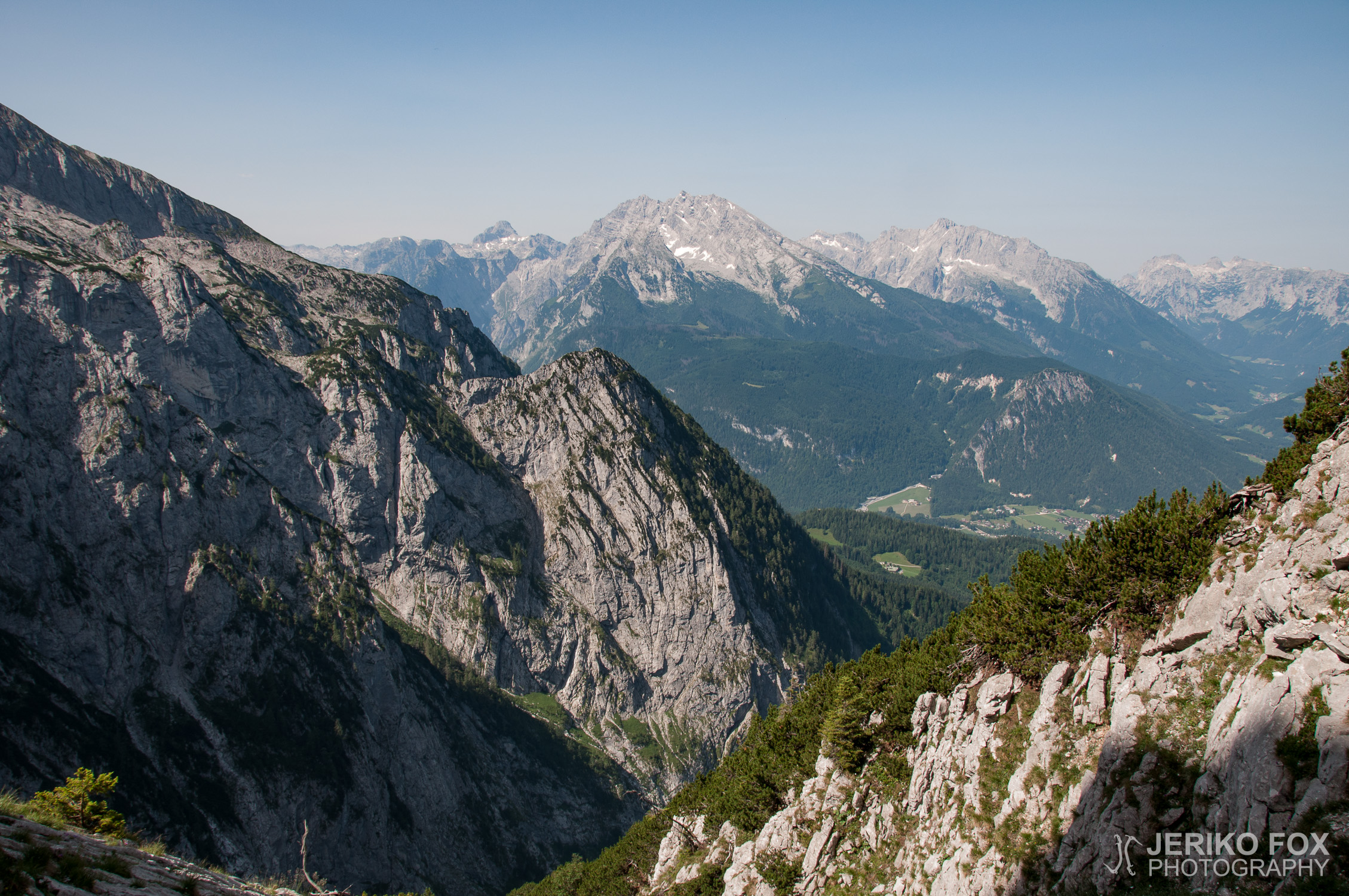
Location: Berchtesgaden, Bavaria, Germany
Range: Berchtesgaden Alps
Climb
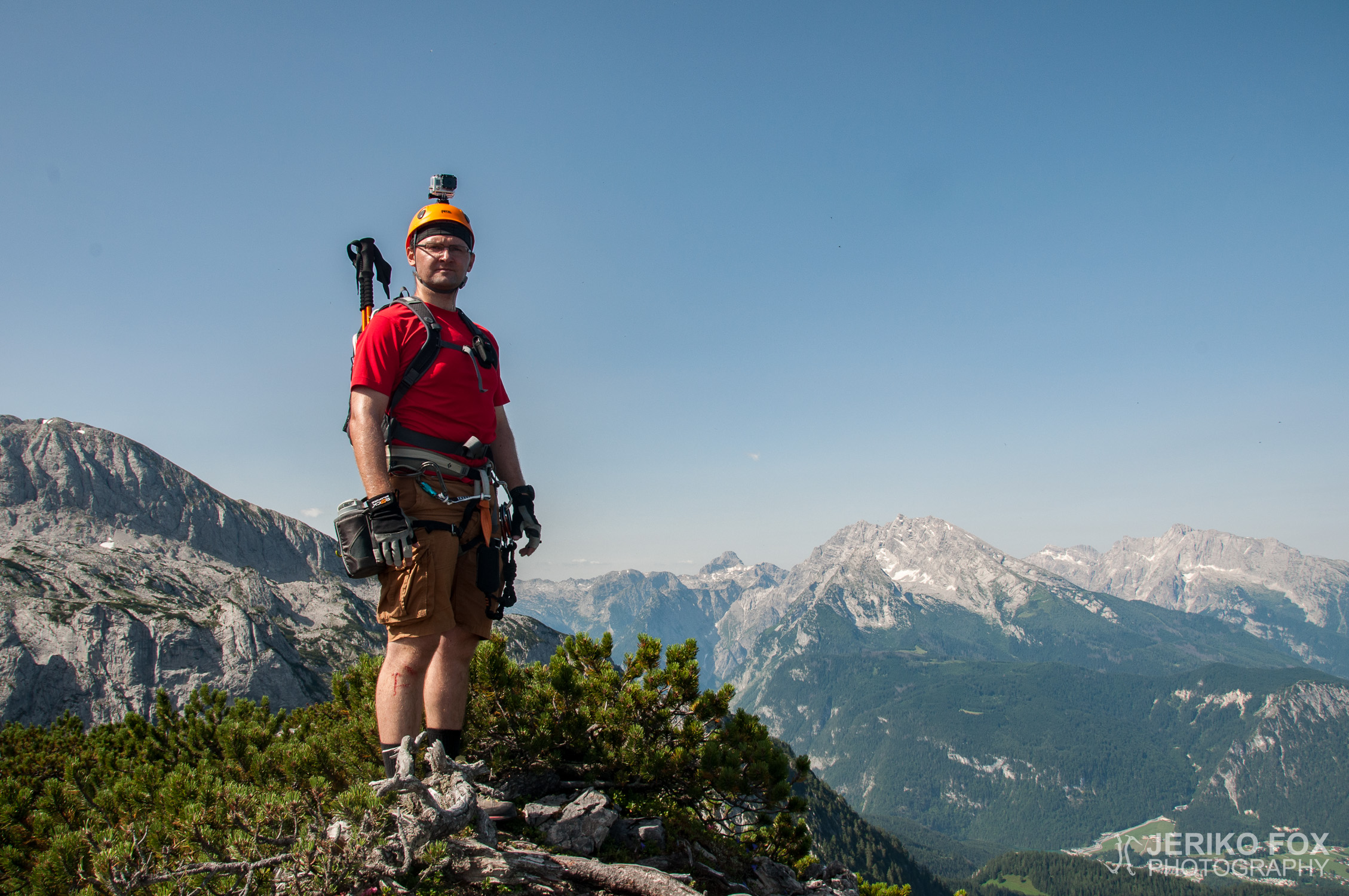
Fox and Dima Tsvetkov
03.08.2013
6 h 52 min
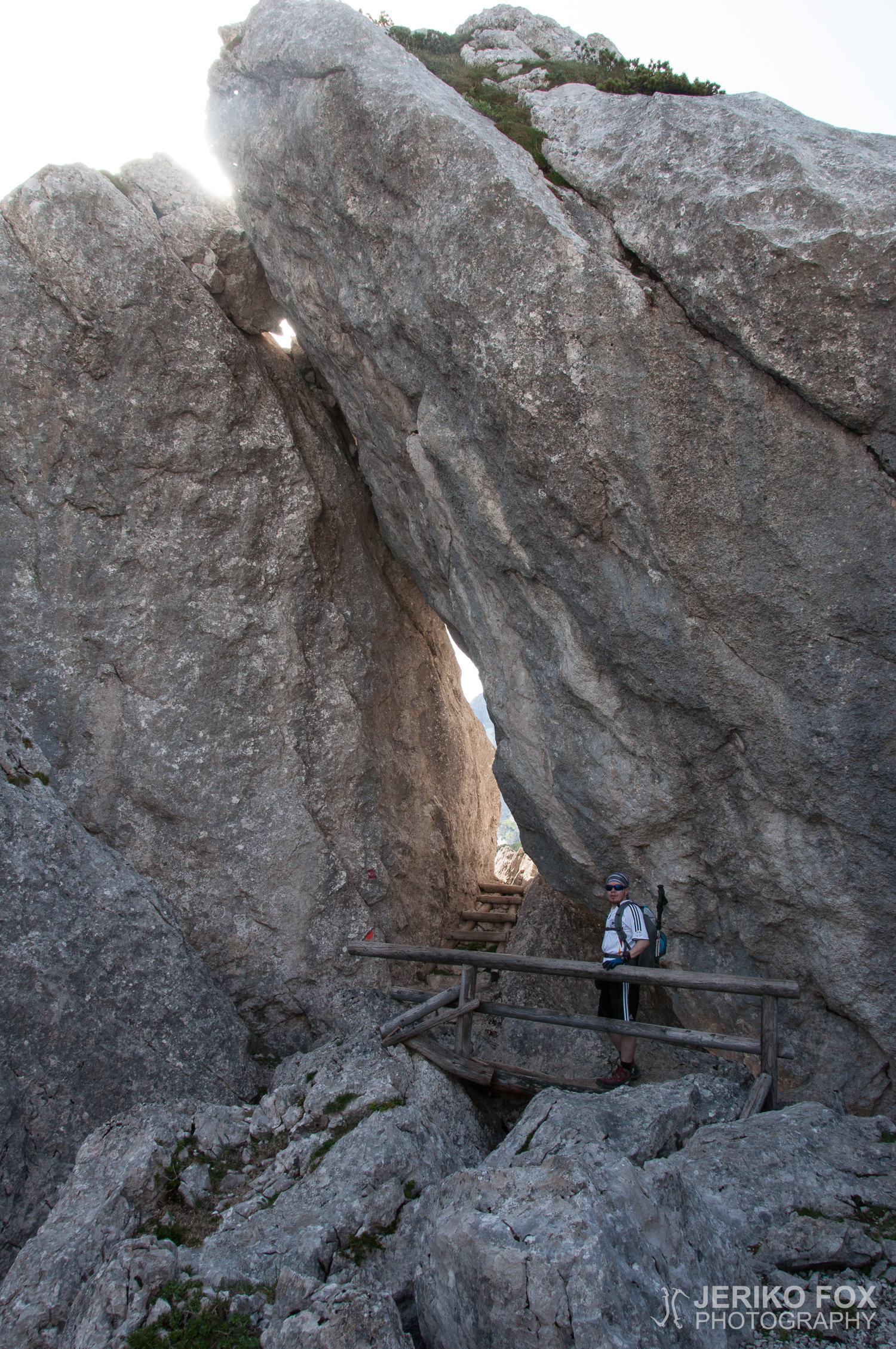
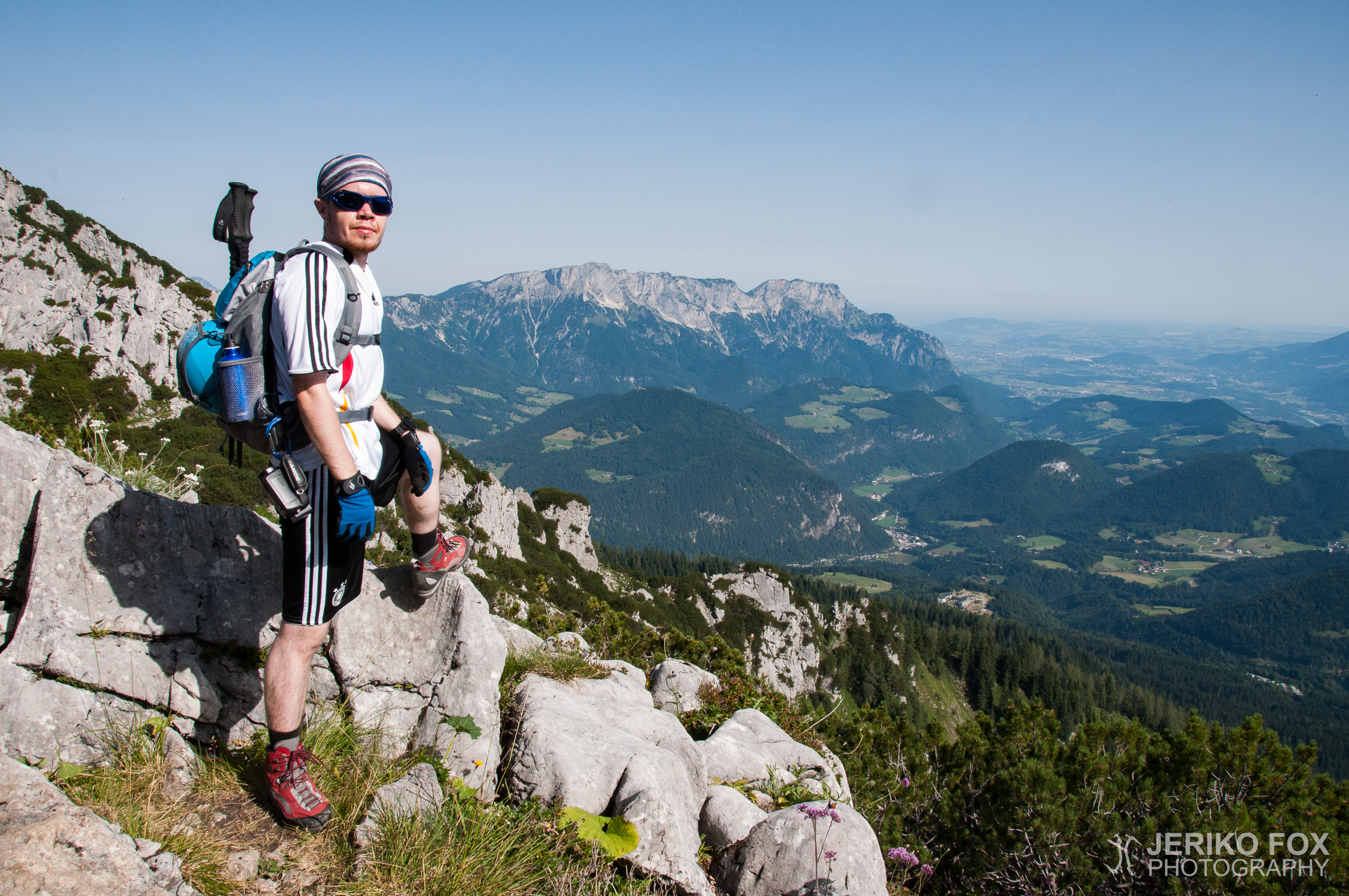
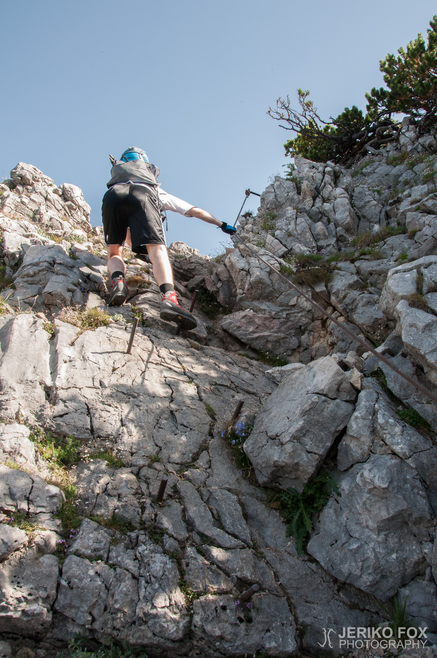
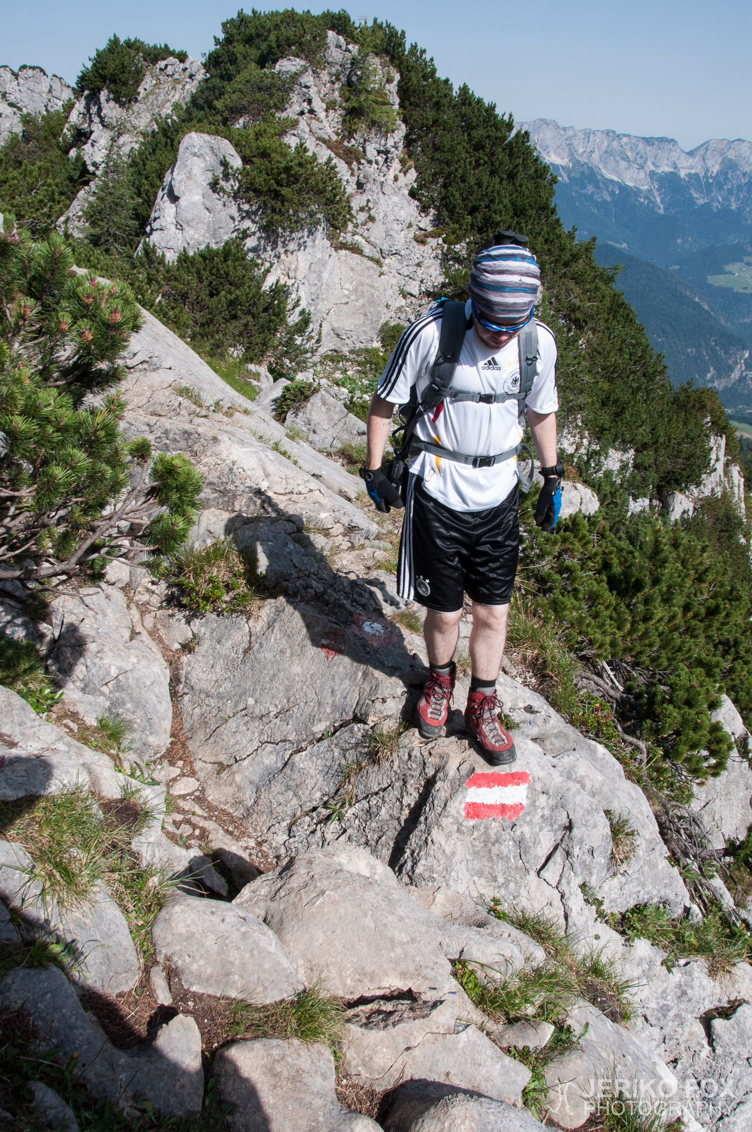
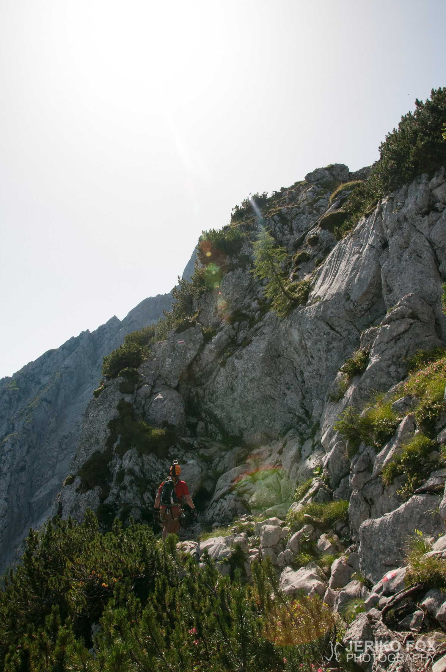
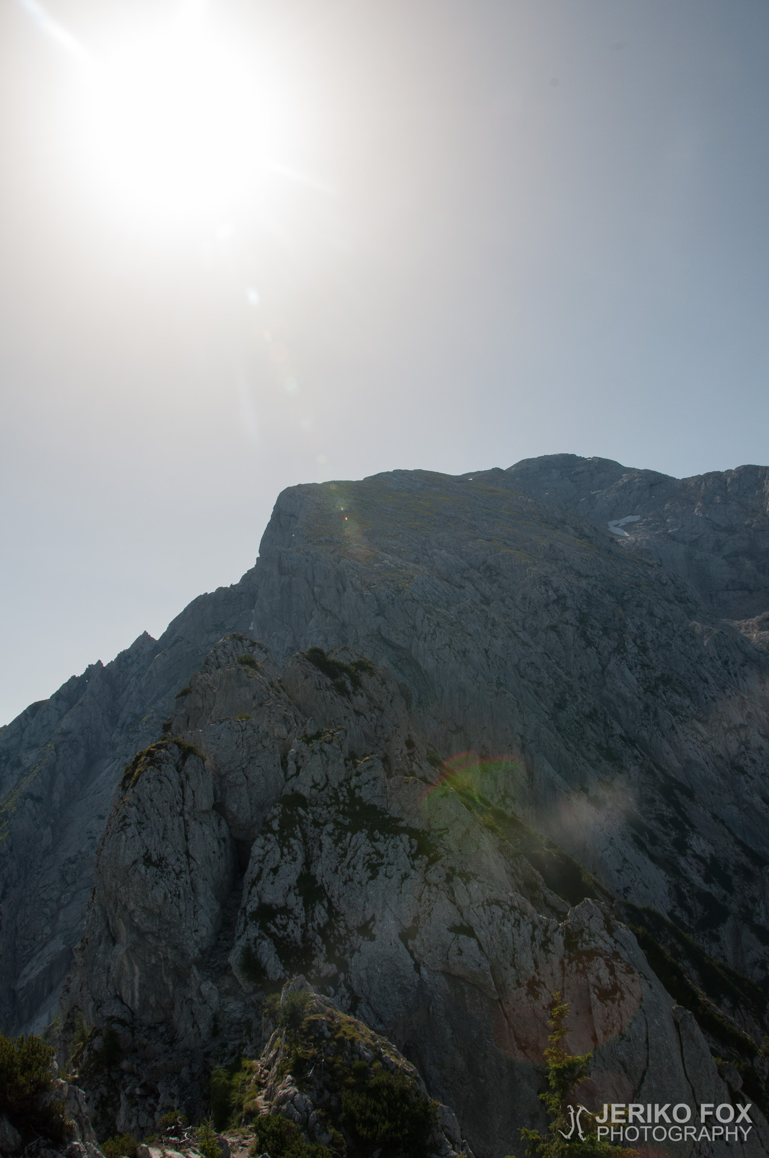
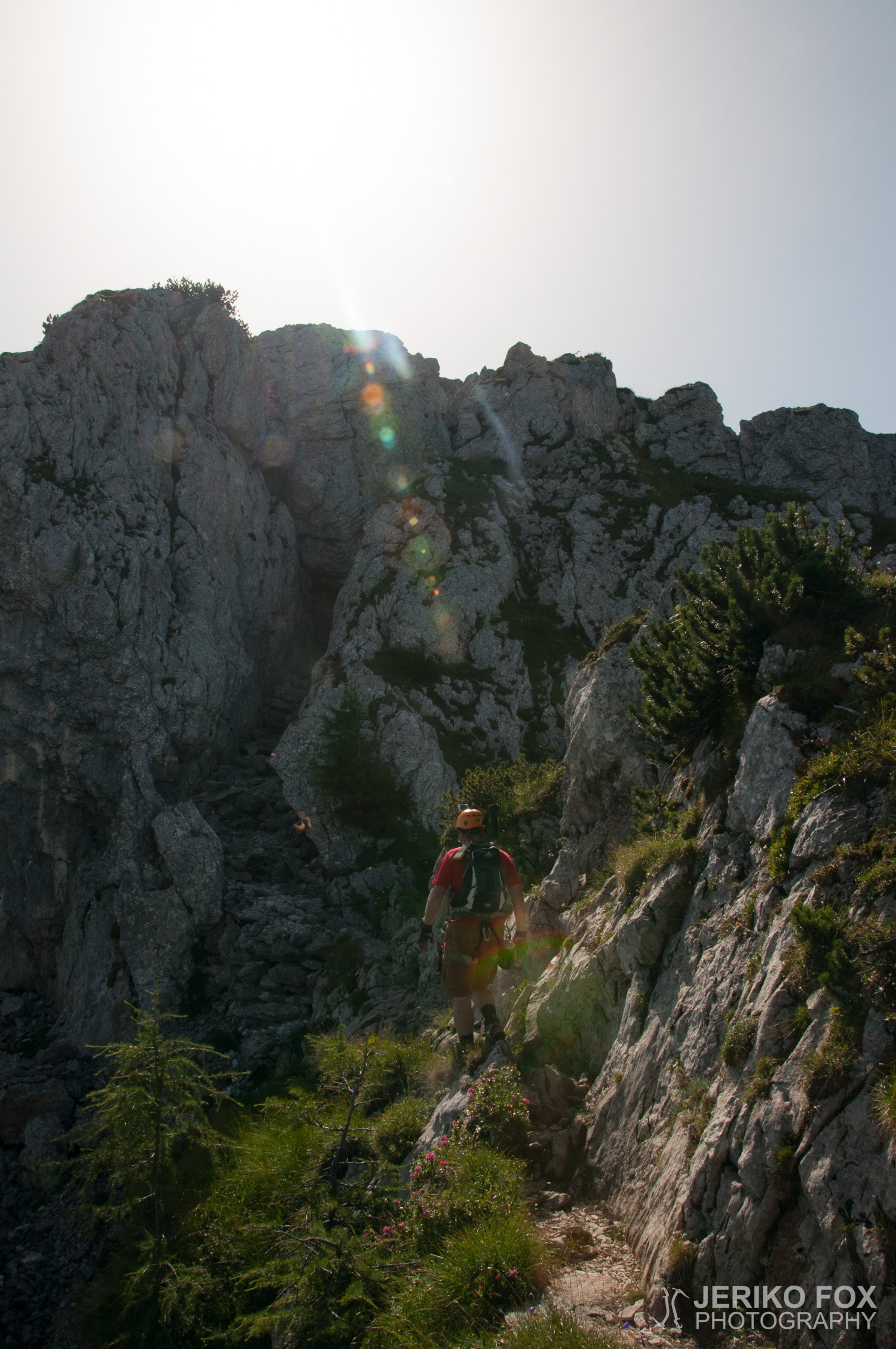
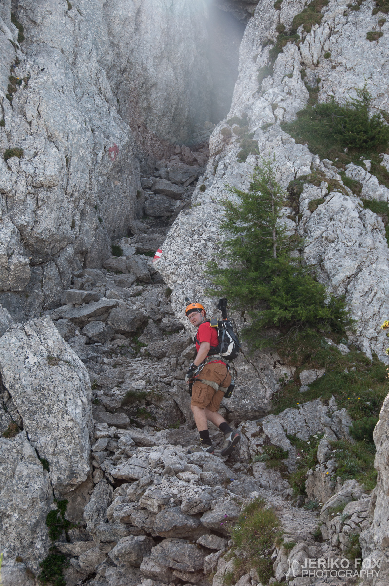
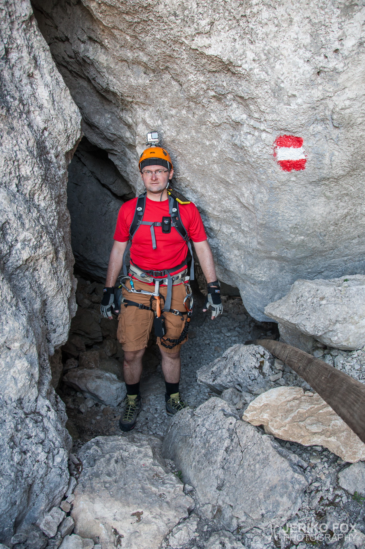
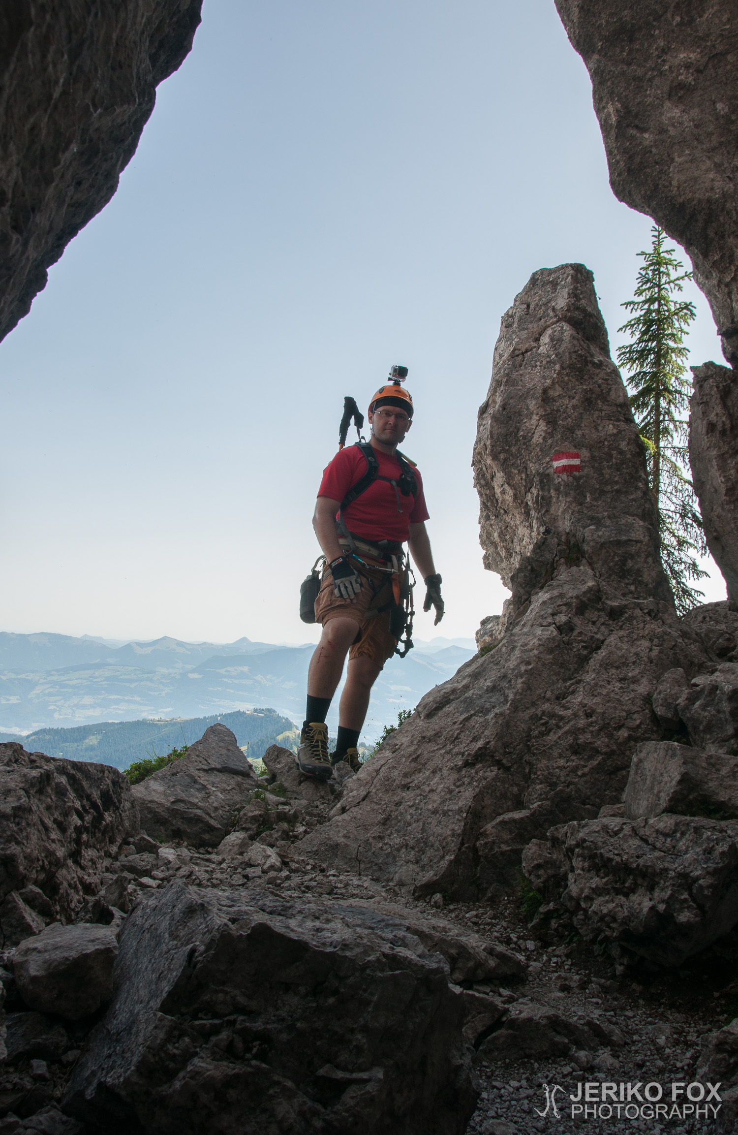
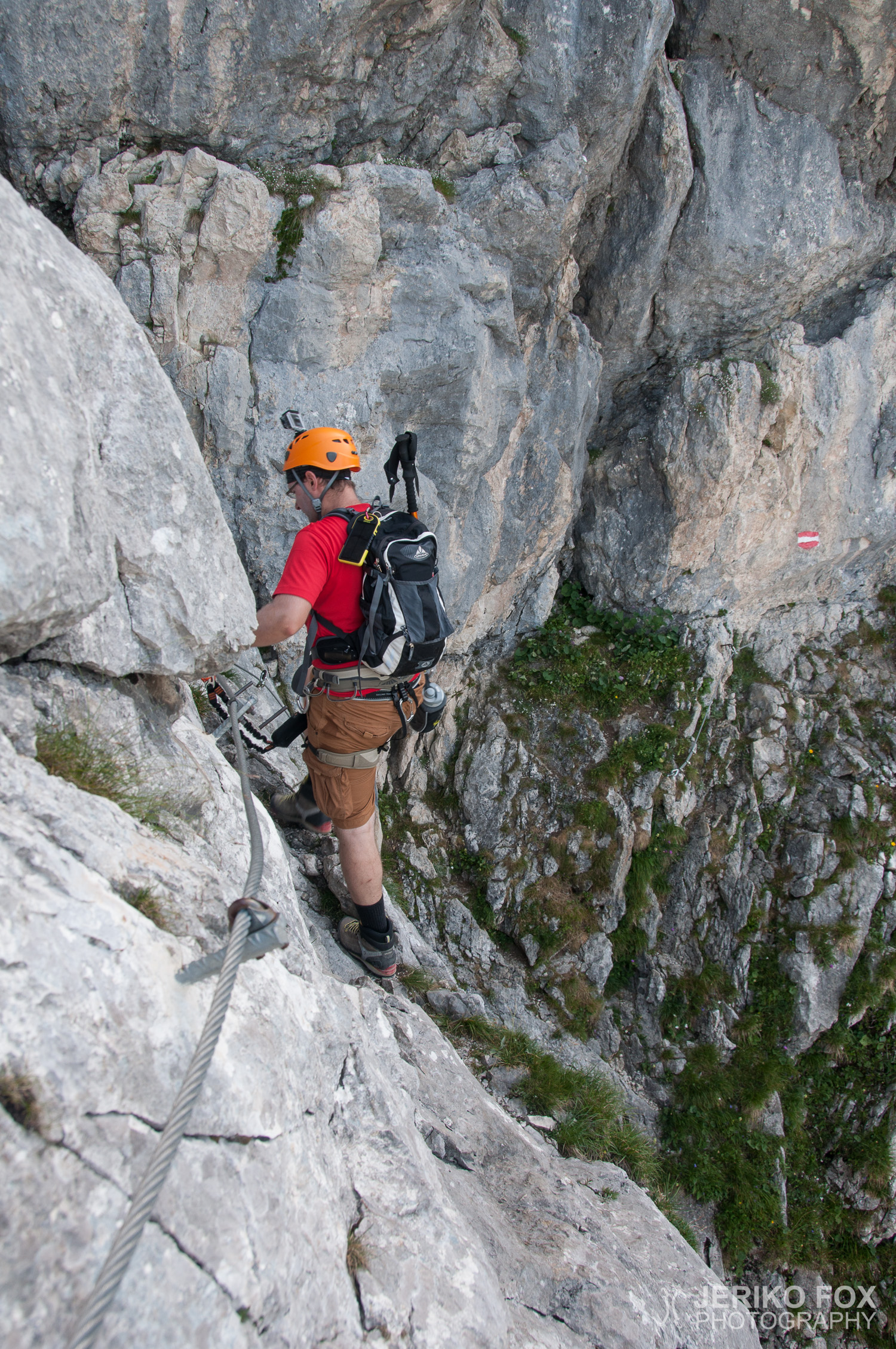
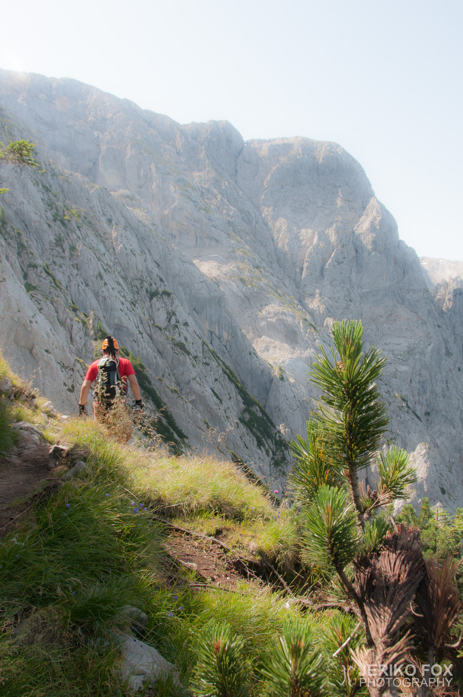
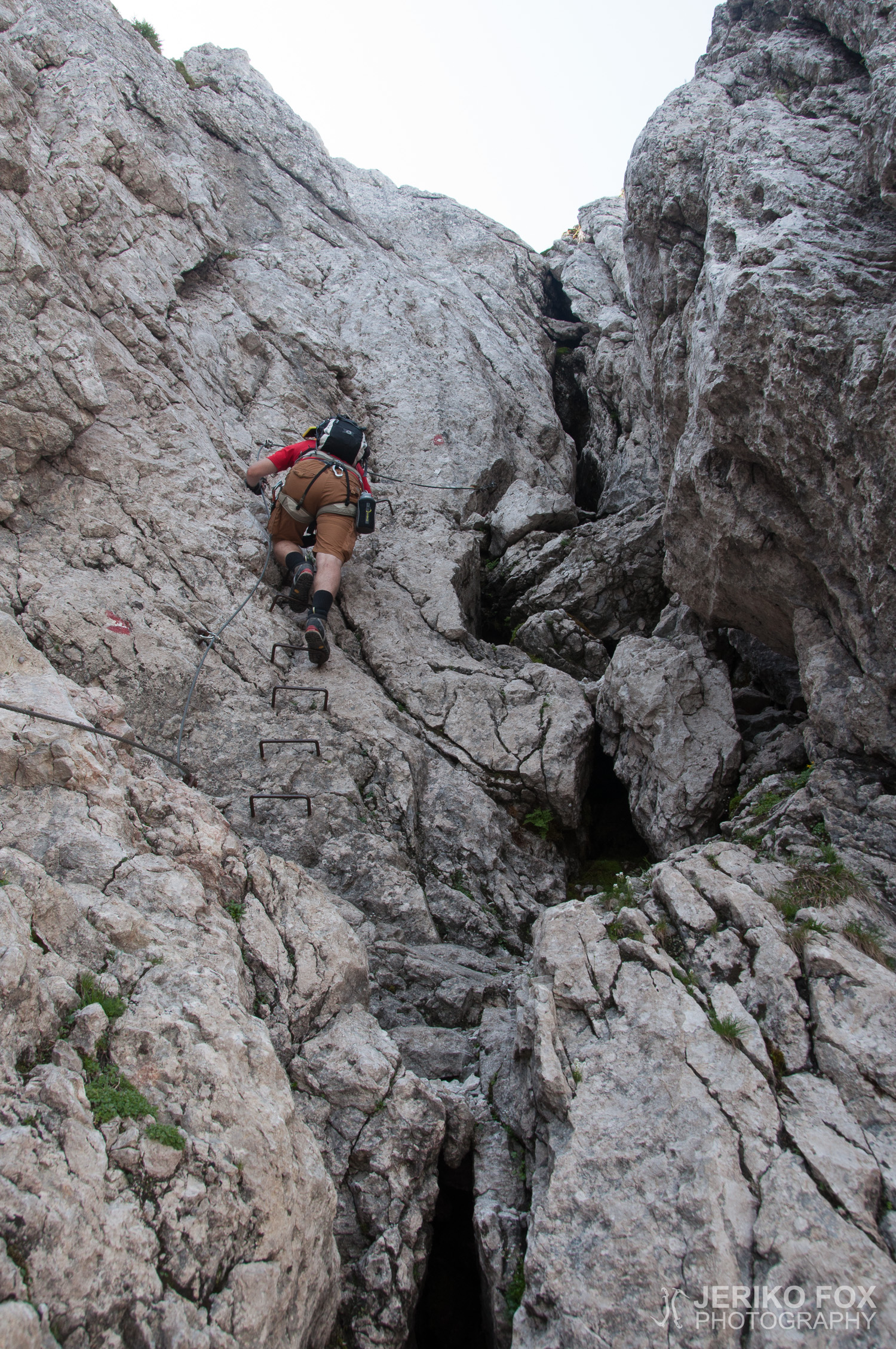
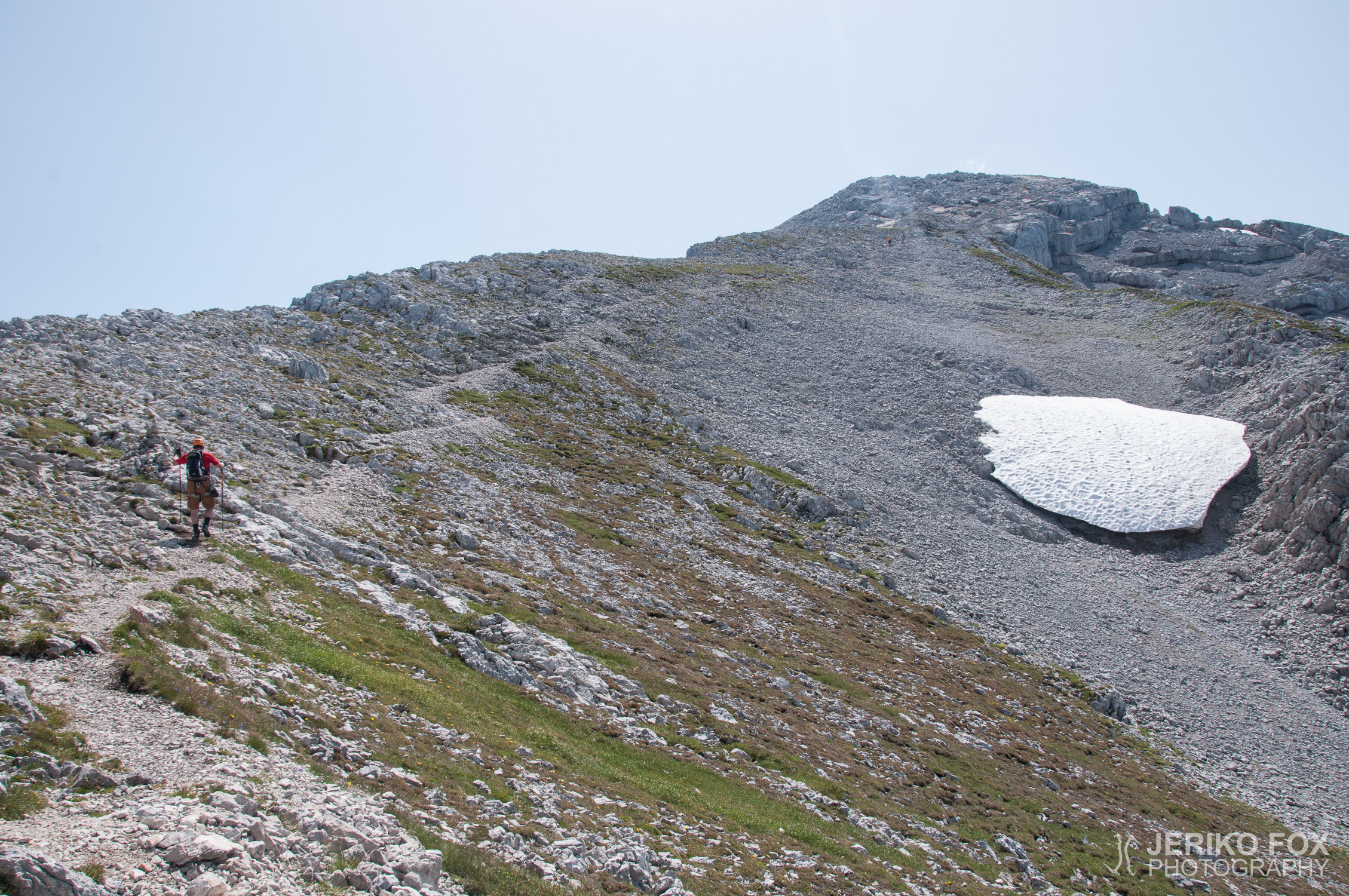
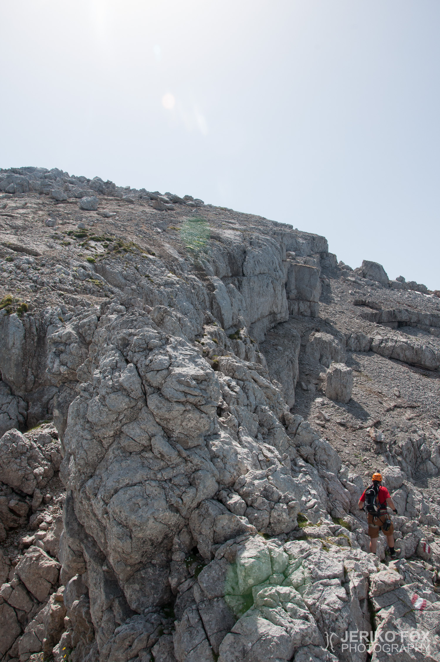
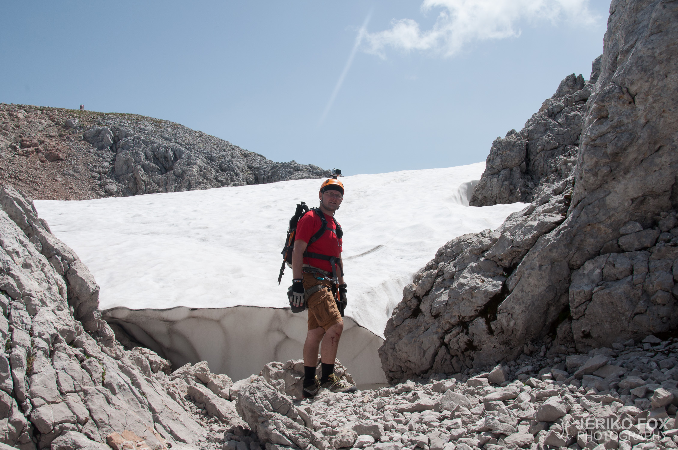
Ascent and descent hiking and via Ferrata climbing
UIAA I
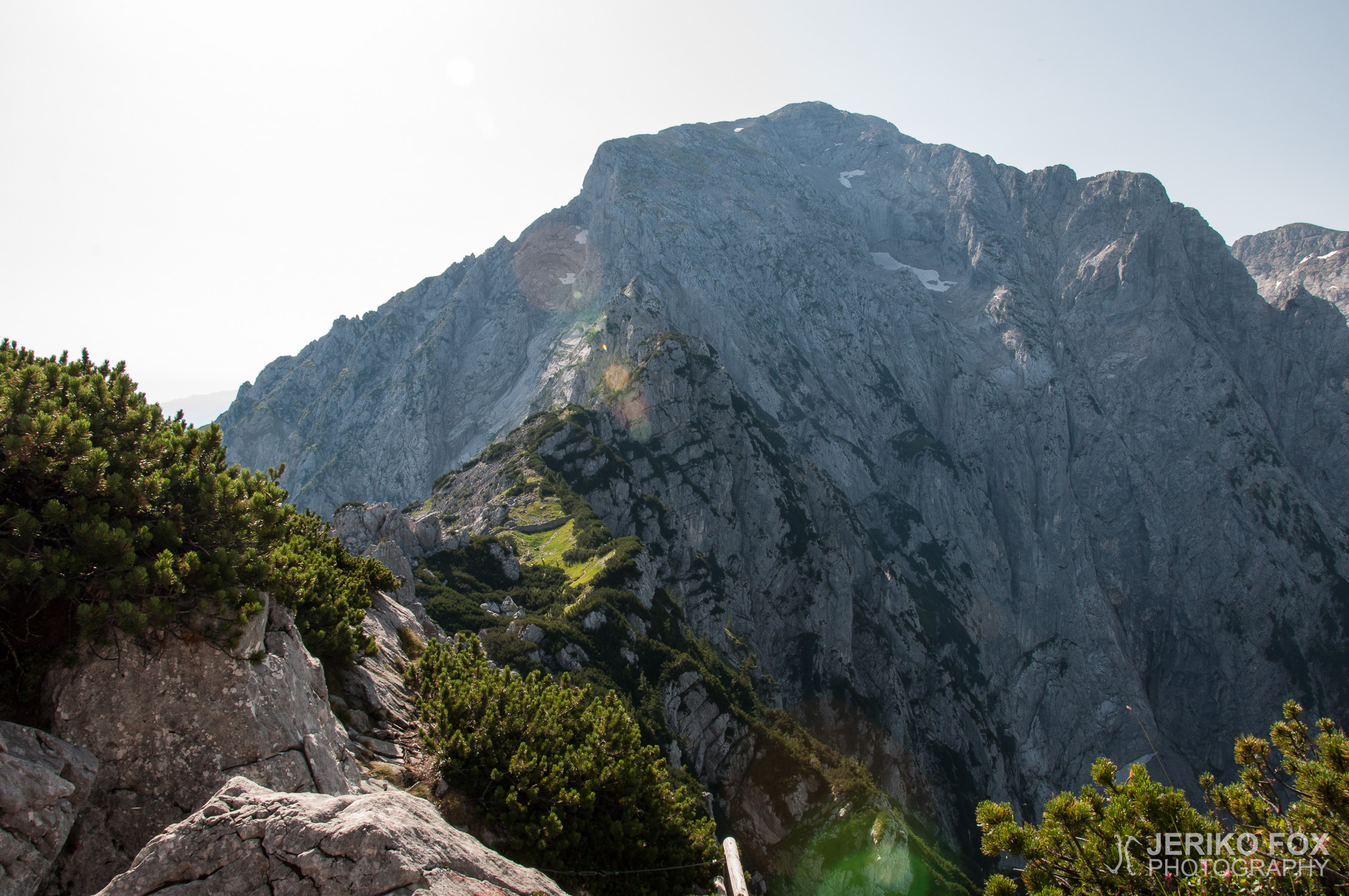
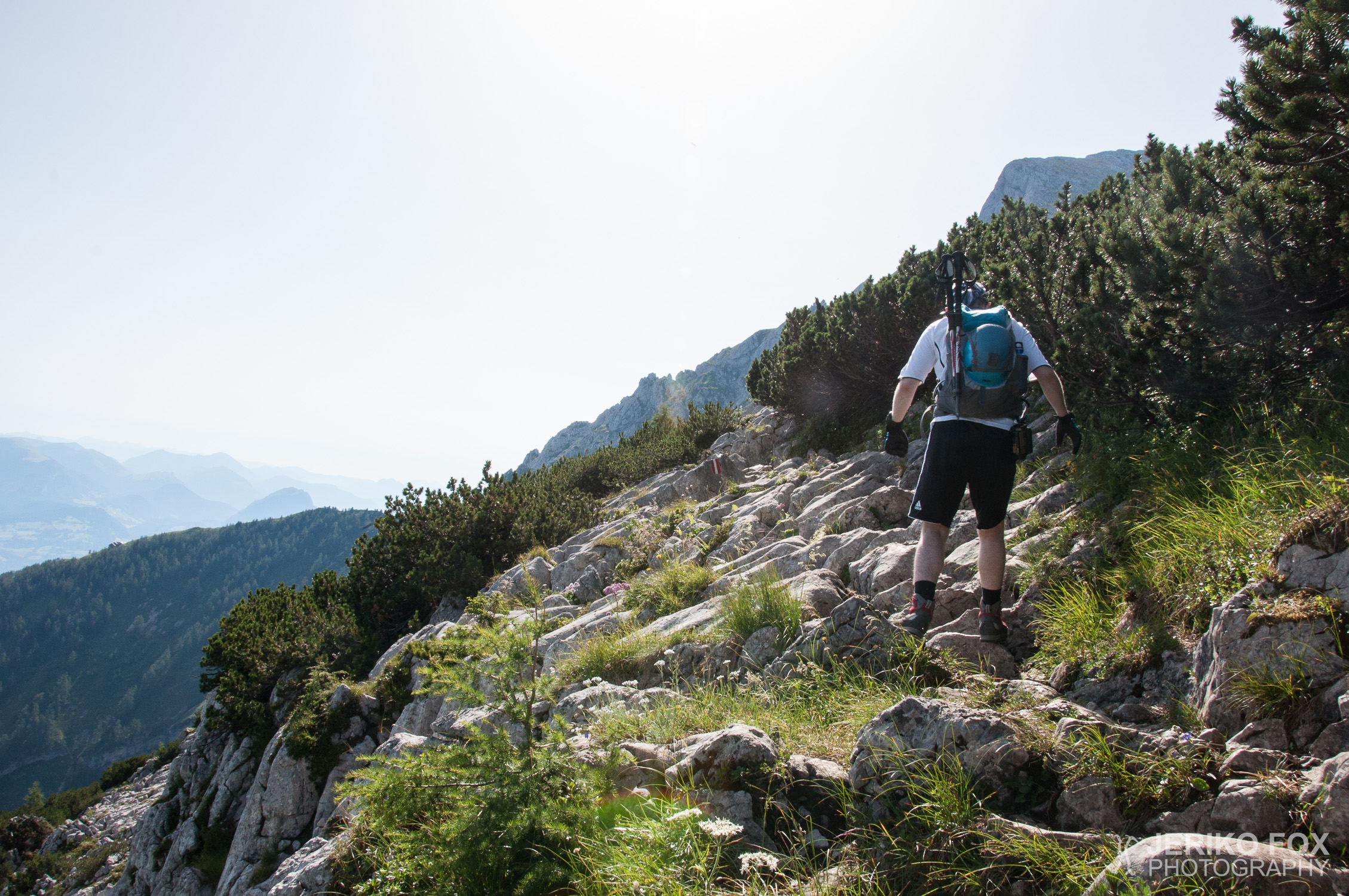
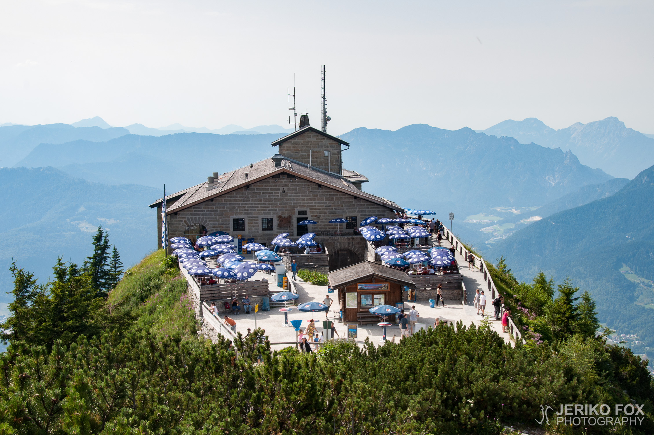
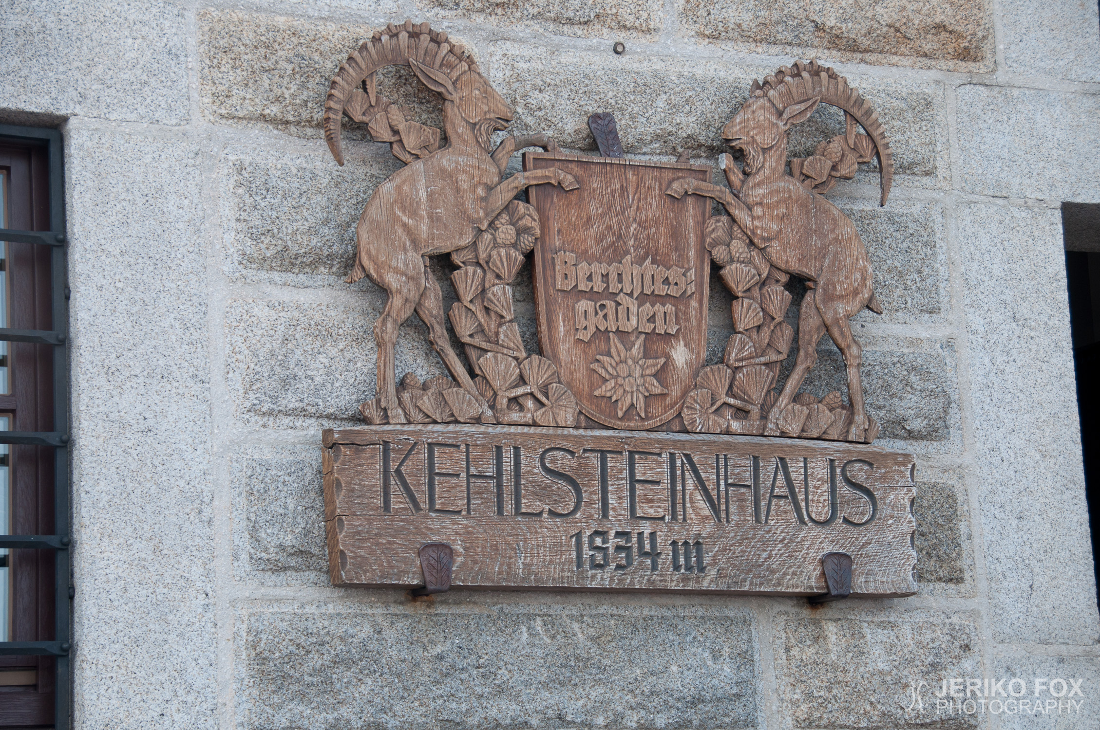
Kehlsteinhaus (1834 m), Mannlgrat, Hoher Göll (2522 m)
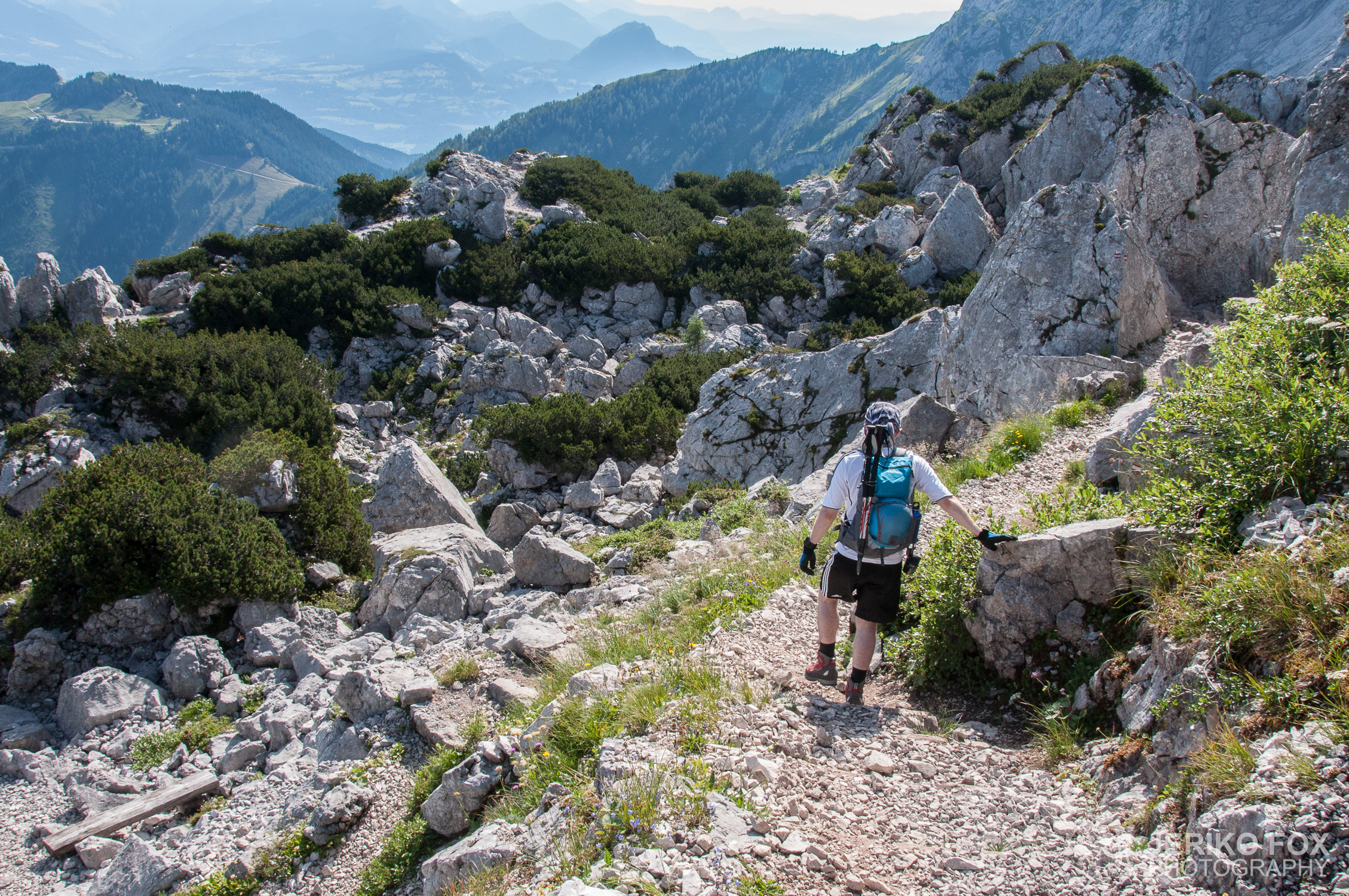
Hoher Göll (2522 m), Mannlgrat, Kehlsteinhaus (1834 m)
?
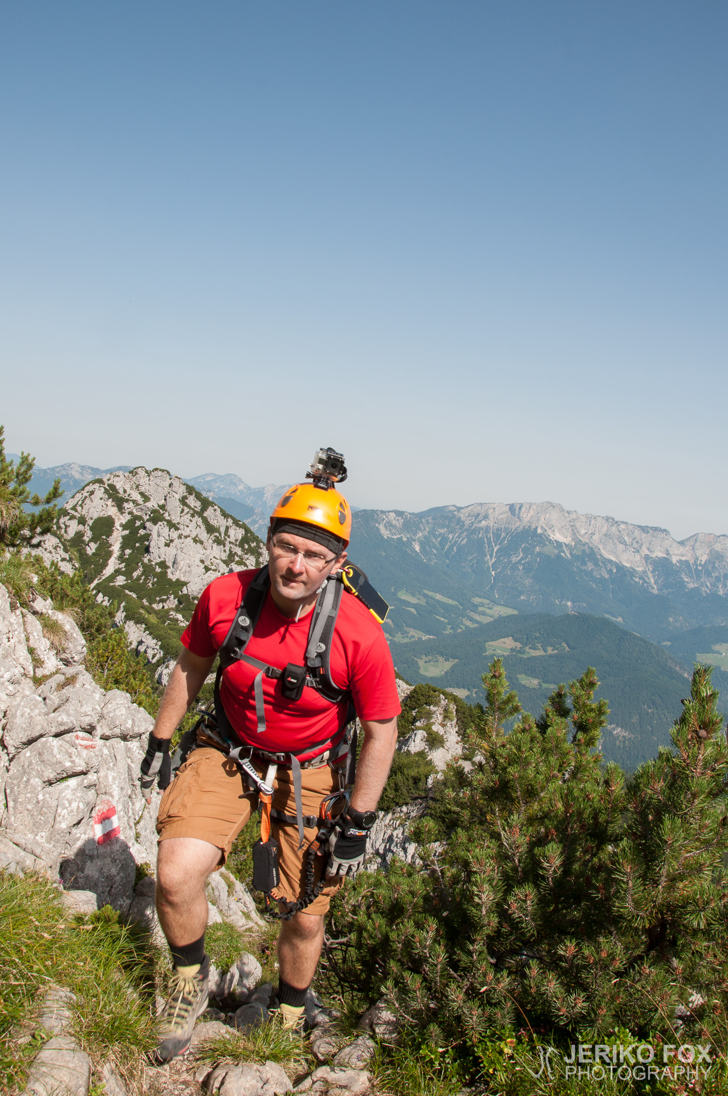
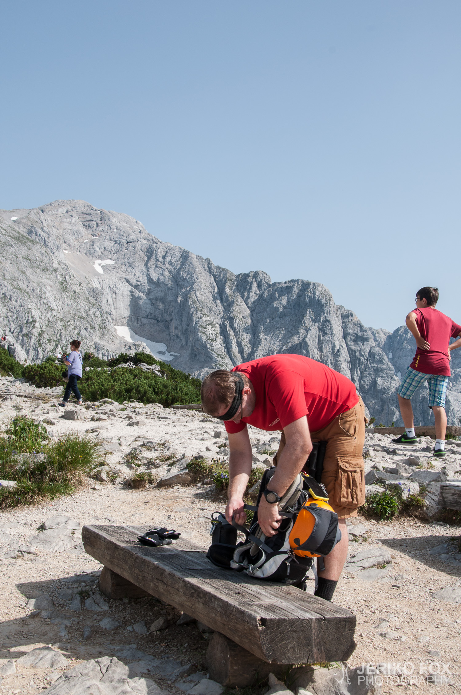
Semi-rigid boots, casual wear, harness, VF-set, helmet, trekking poles
Route map
Map of the route “Hoher Göll via Mannlgrat”: 8,275 m, 976 m of climbing and 972 m of descent, elevation between 1,834 m and 2,521 m, time 06:50:44. It is a loop that starts and ends at 47.61130, 13.04273 (latitude, longitude).
Total distance: 8275 m
Max elevation: 2523 m
Total time: 06:50:44