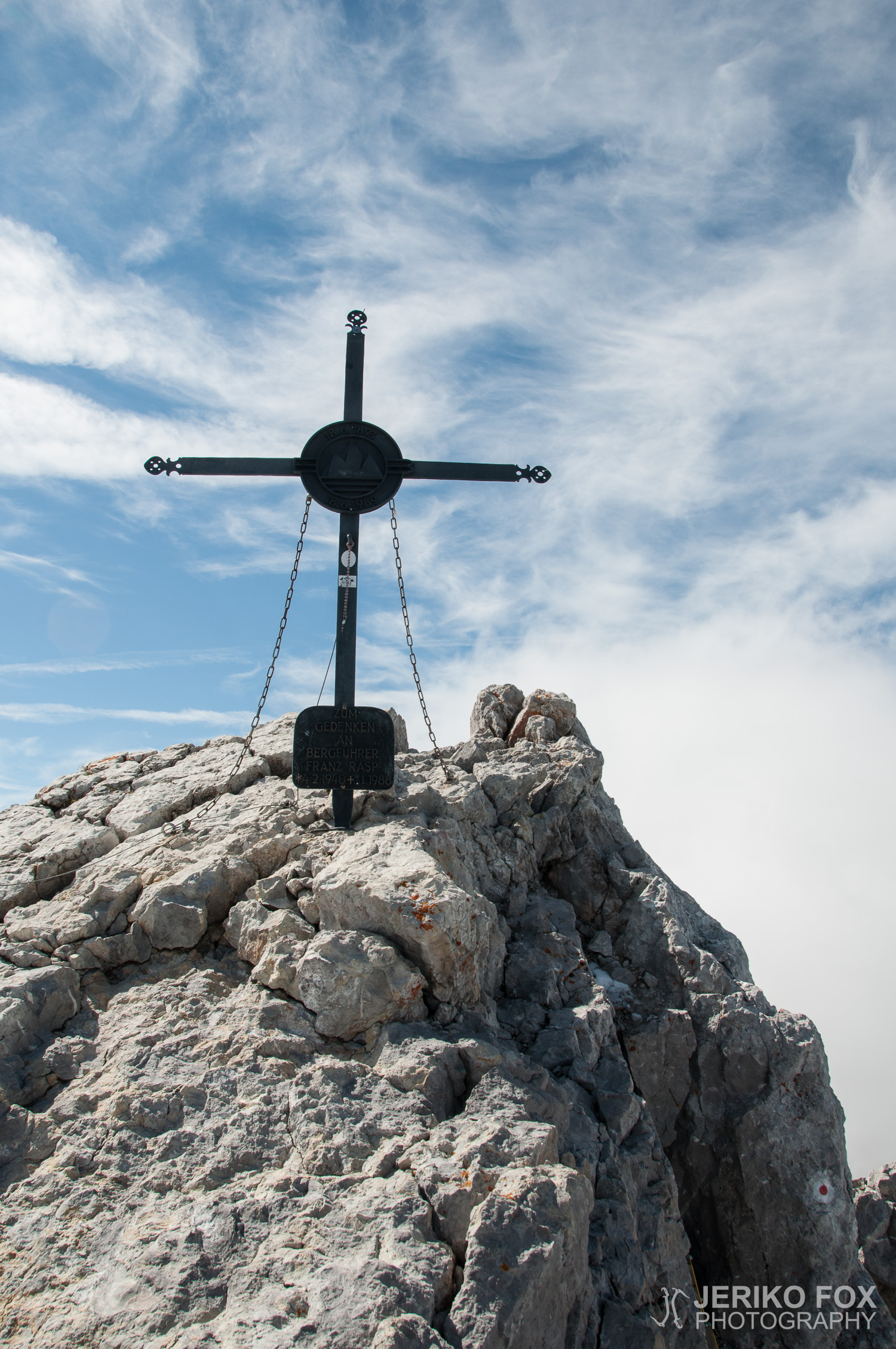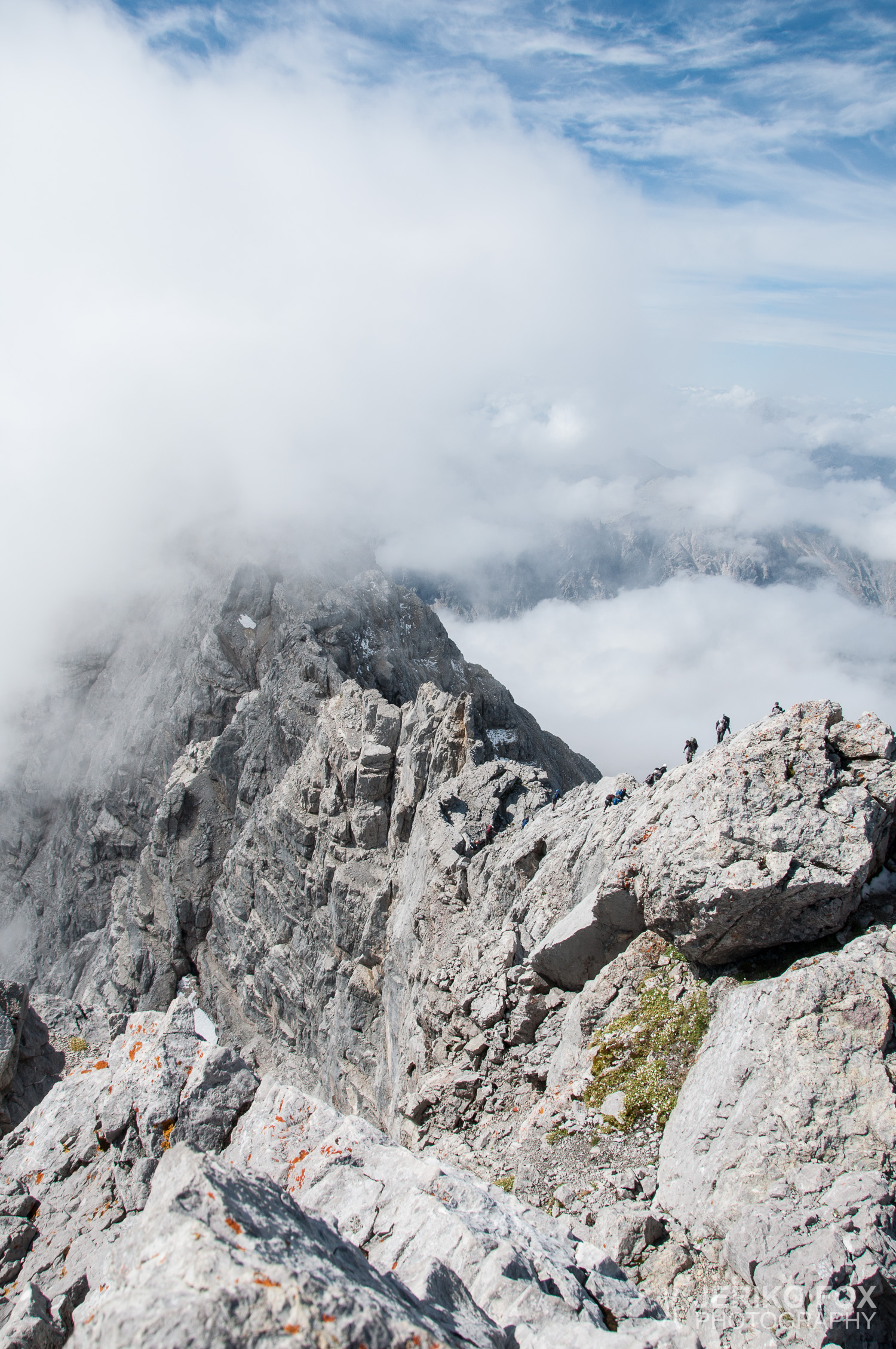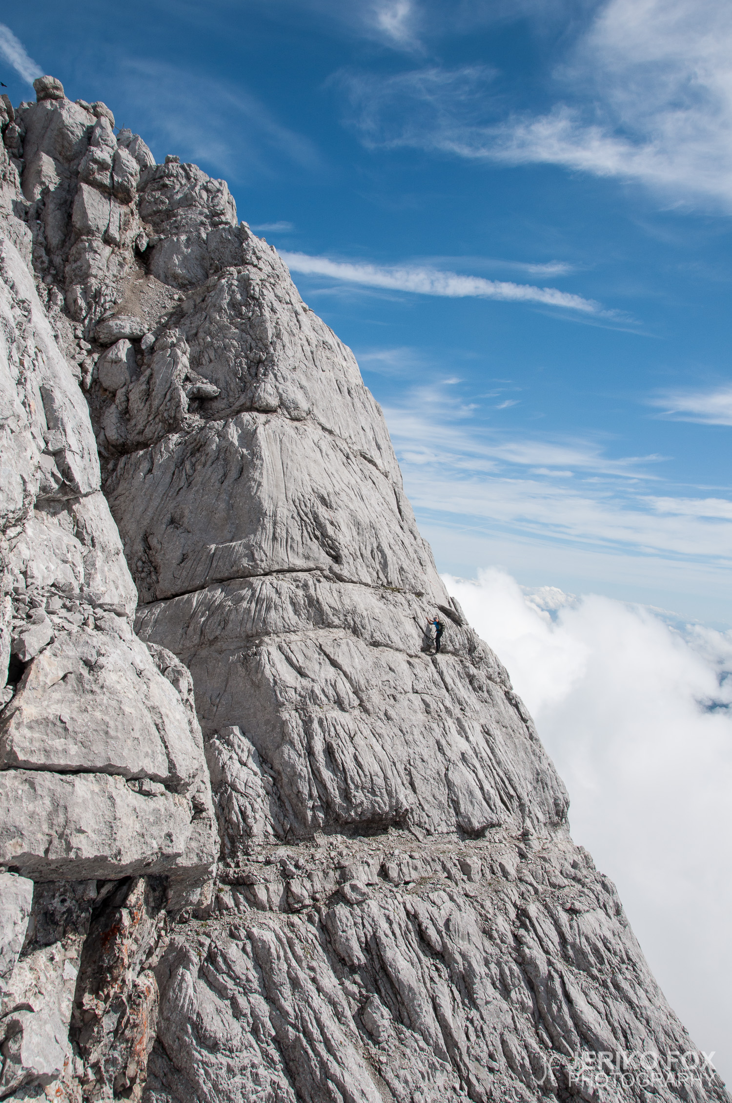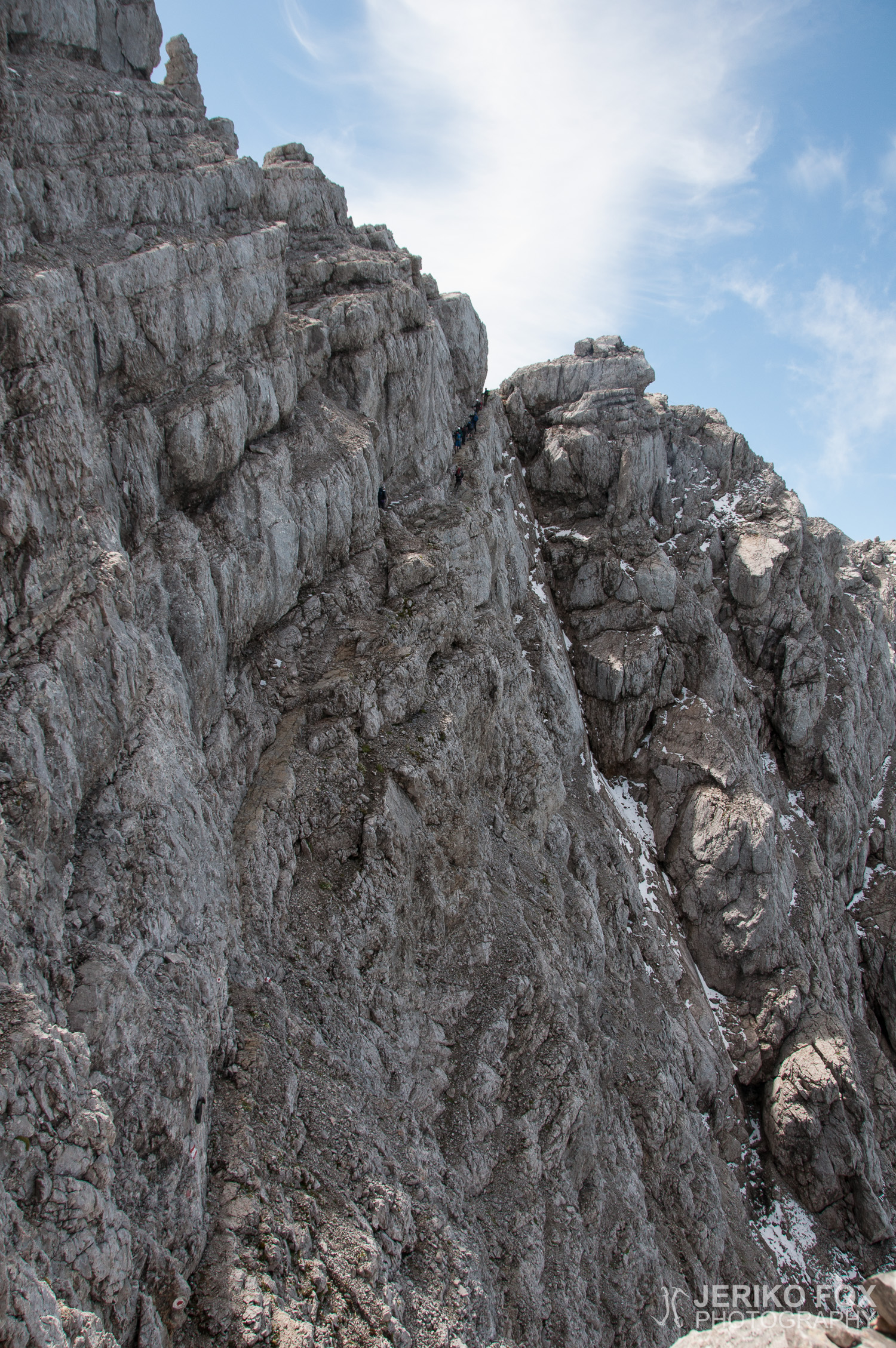
 By Jeriko Fox

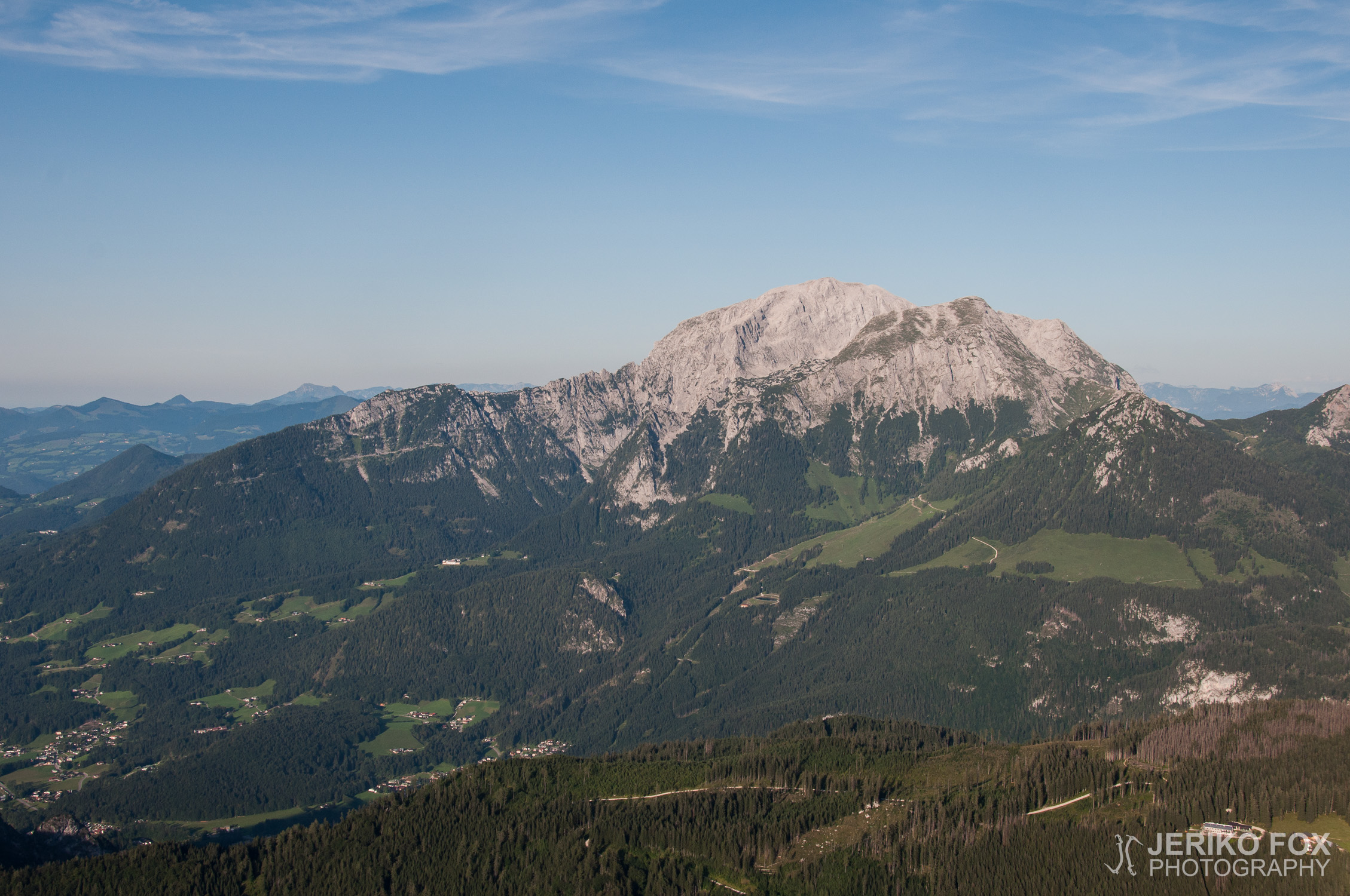
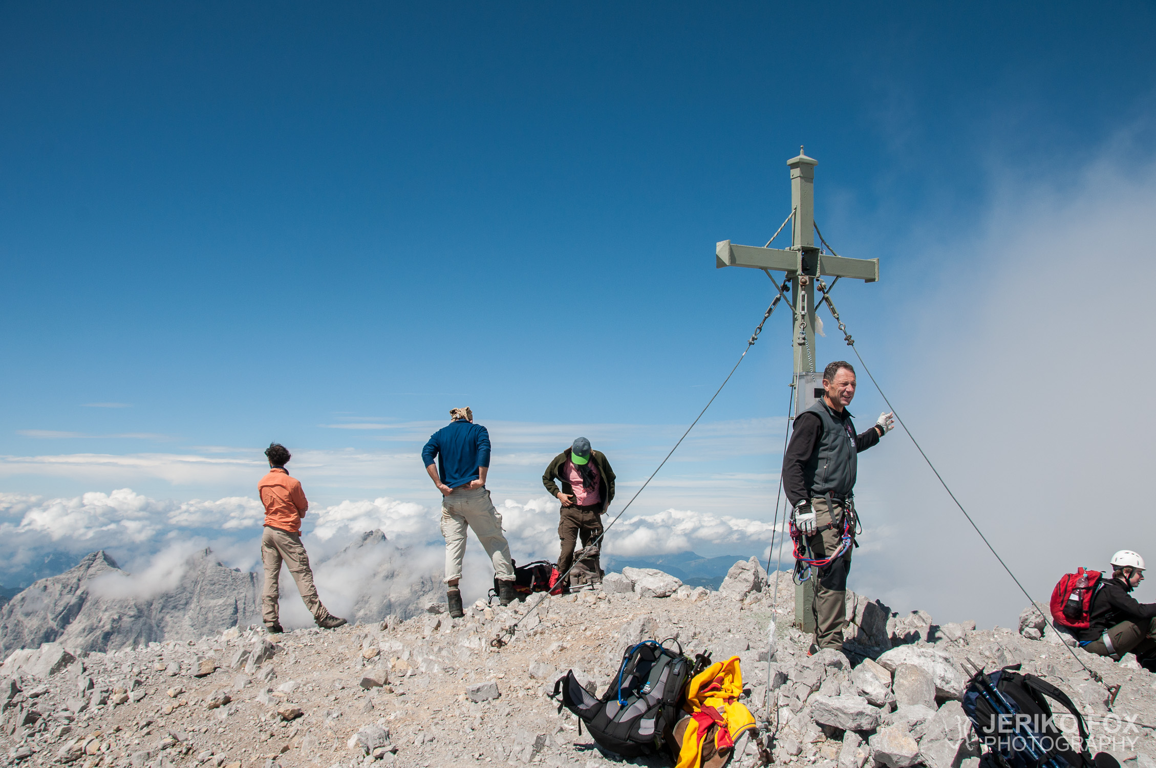
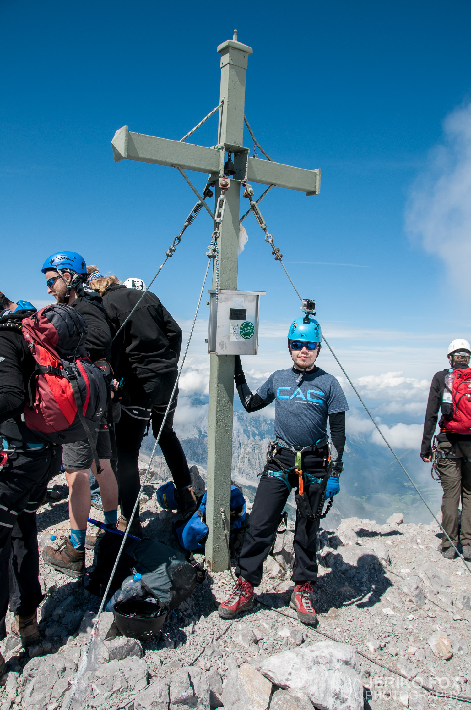
Elevation: 2713 m
Prominence: 953 m
Location: Berchtesgaden, Bavaria, Germany
Range: Berchtesgaden Alps
Climb
Fox (and Kimmo Marttinen from Schönau am Königsee to Hocheck)
17.-18.08.2014
5 h 45 min + 12 h 31 min
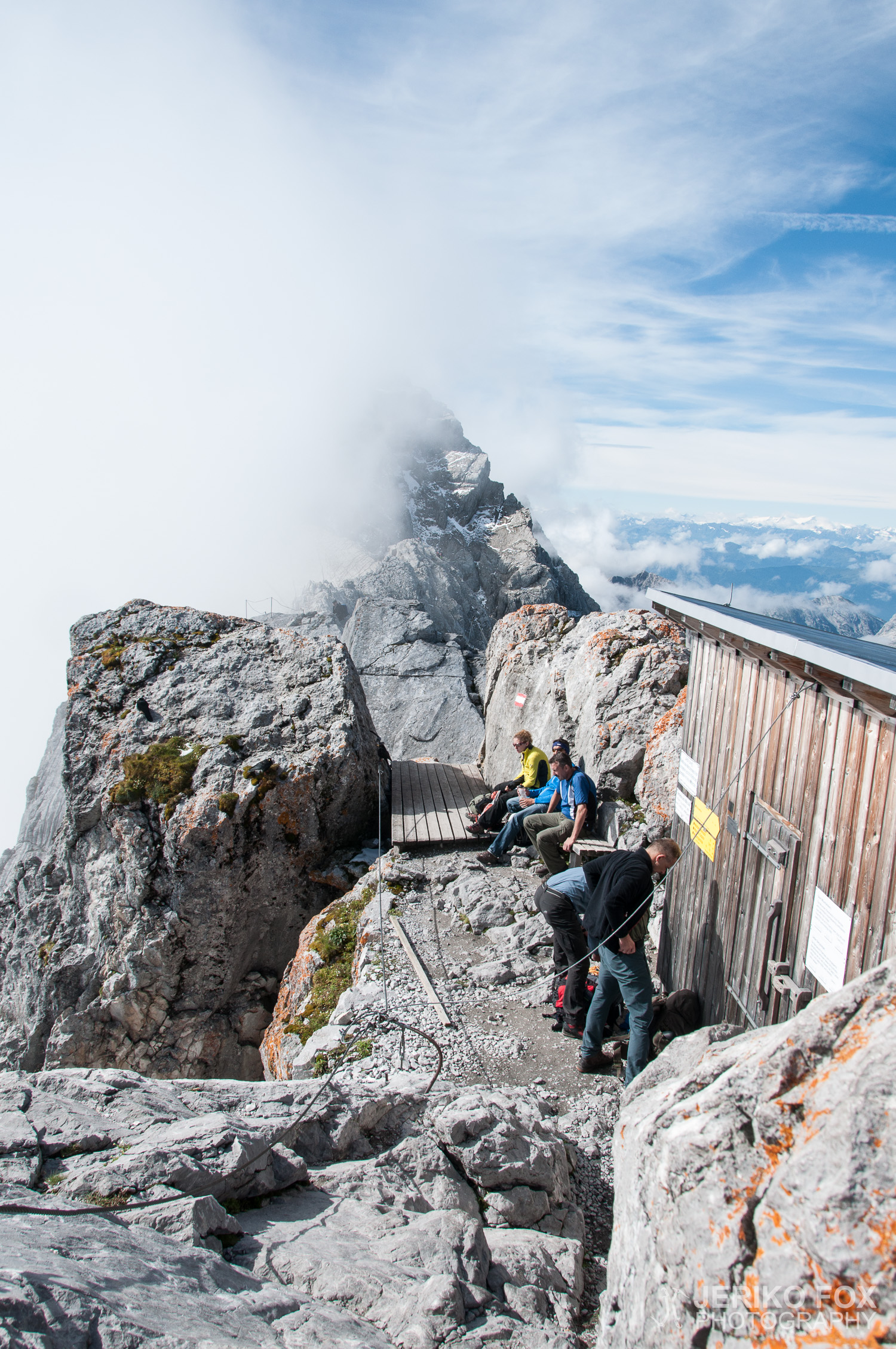
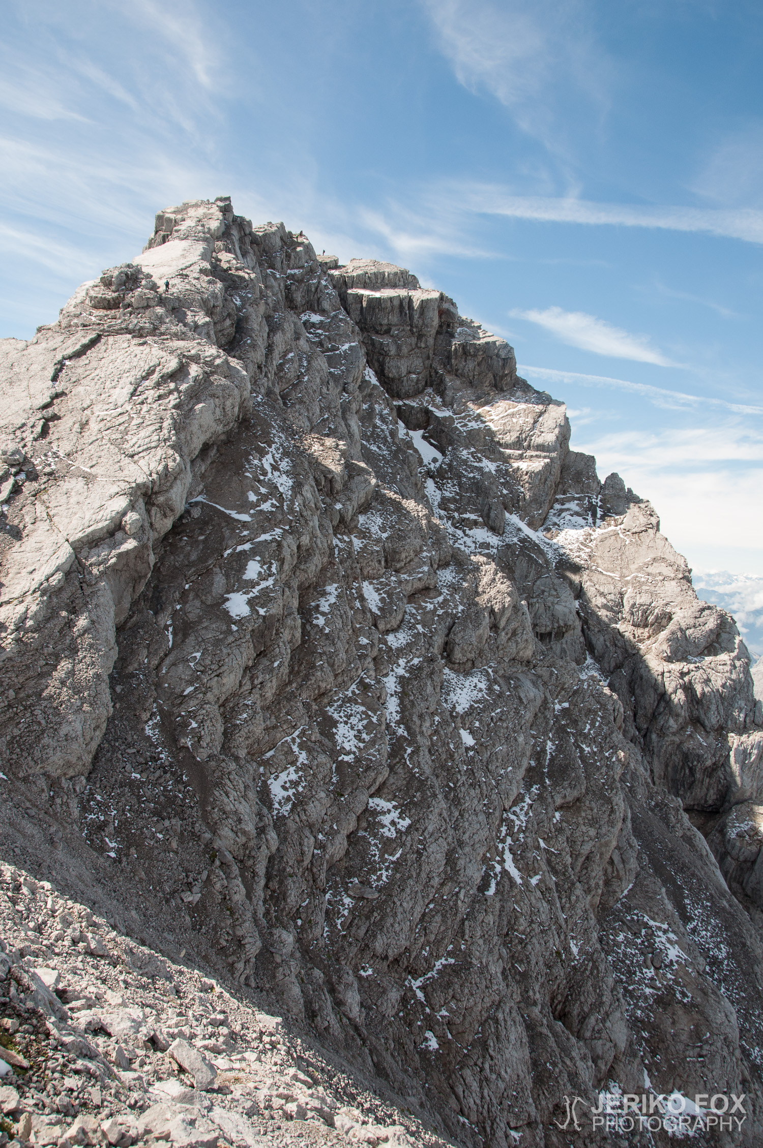
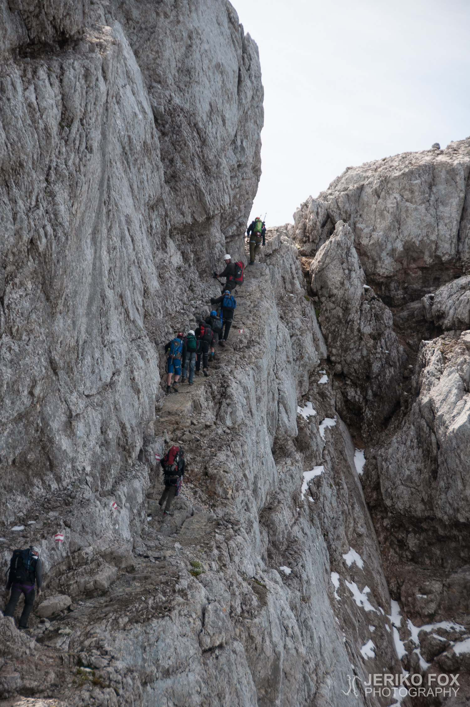
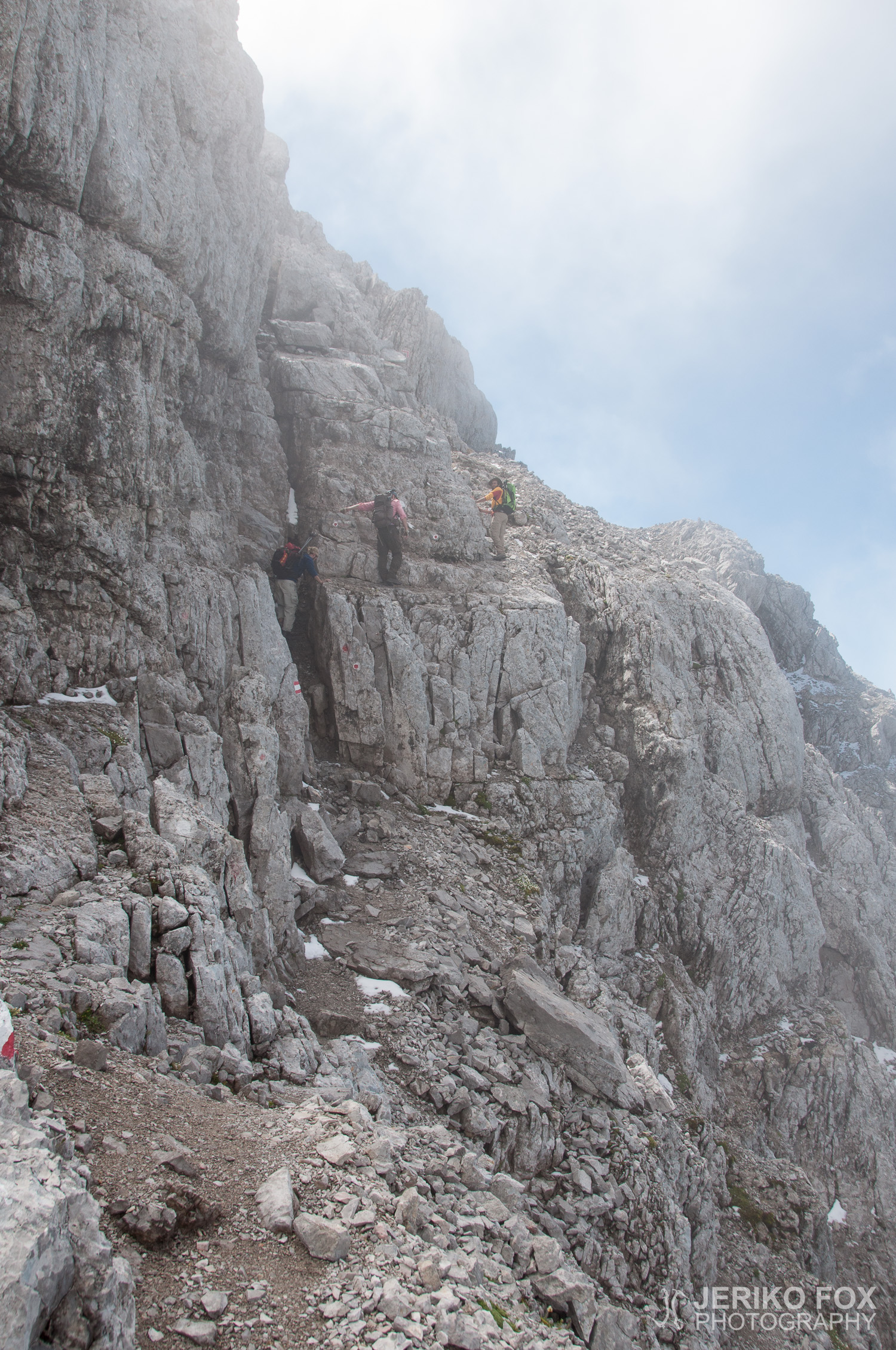
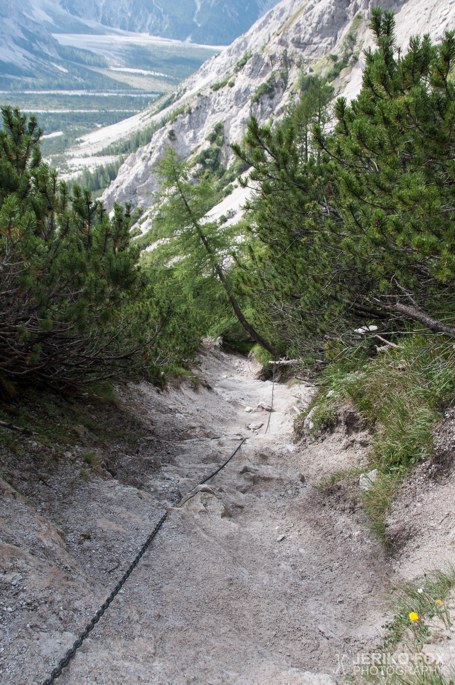
Traverse hiking and via Ferrata climbing
UIAA I-II
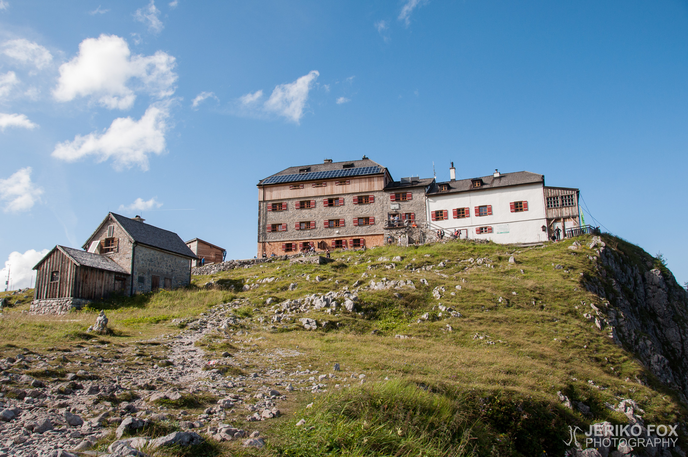
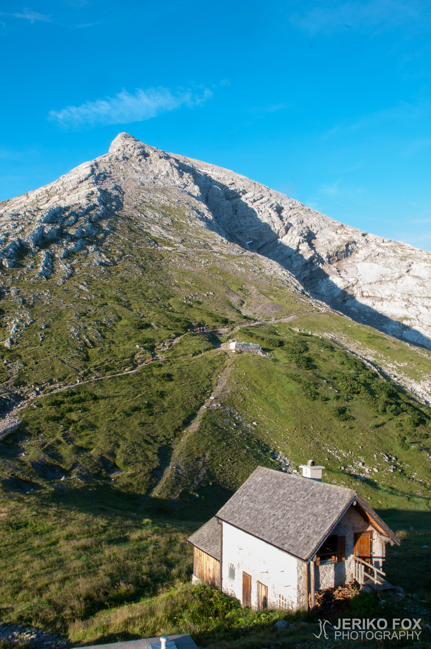
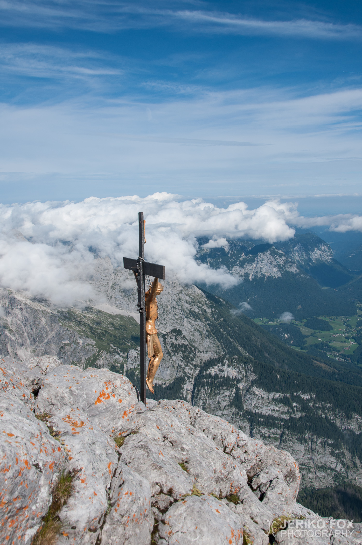
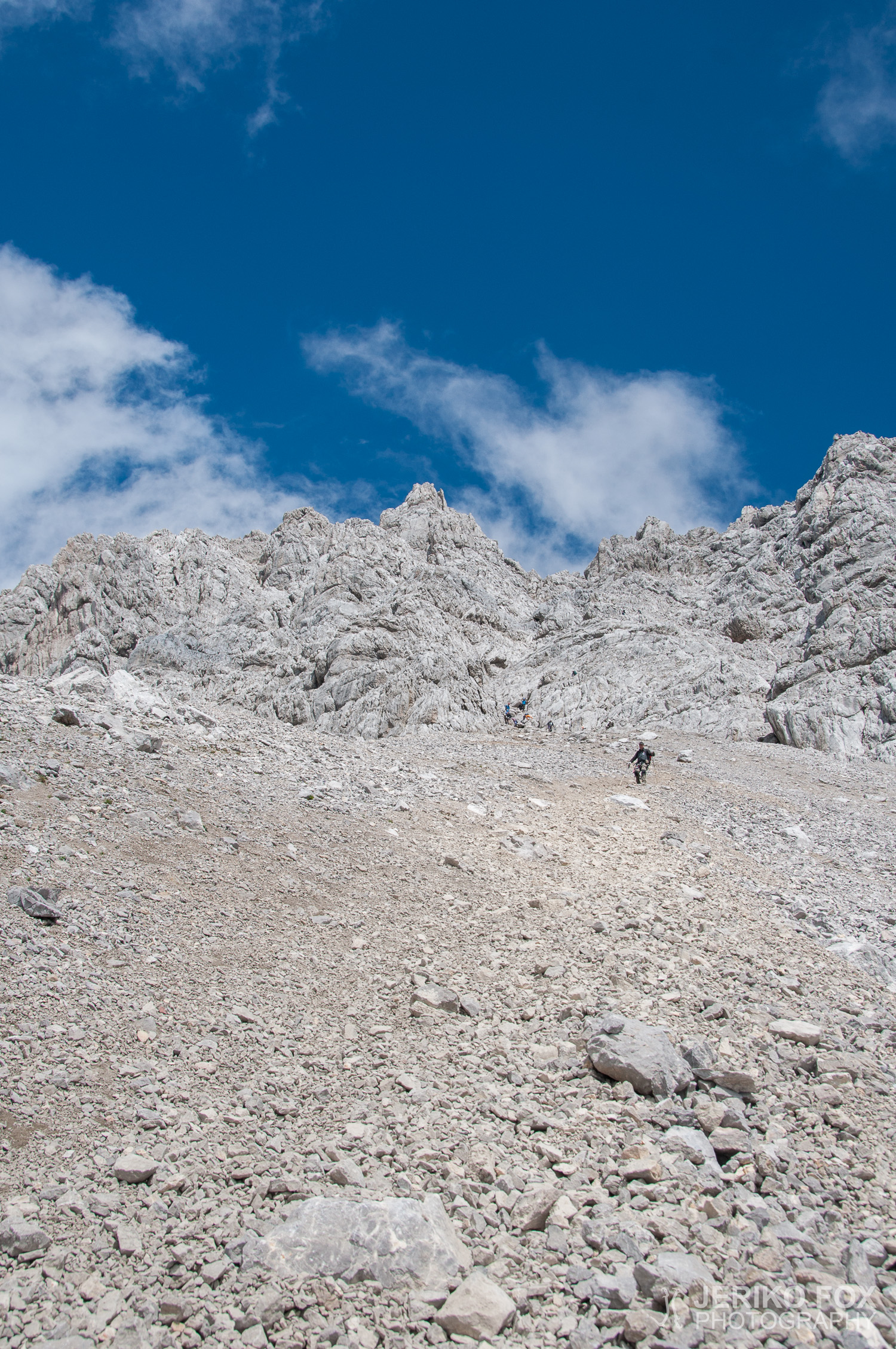
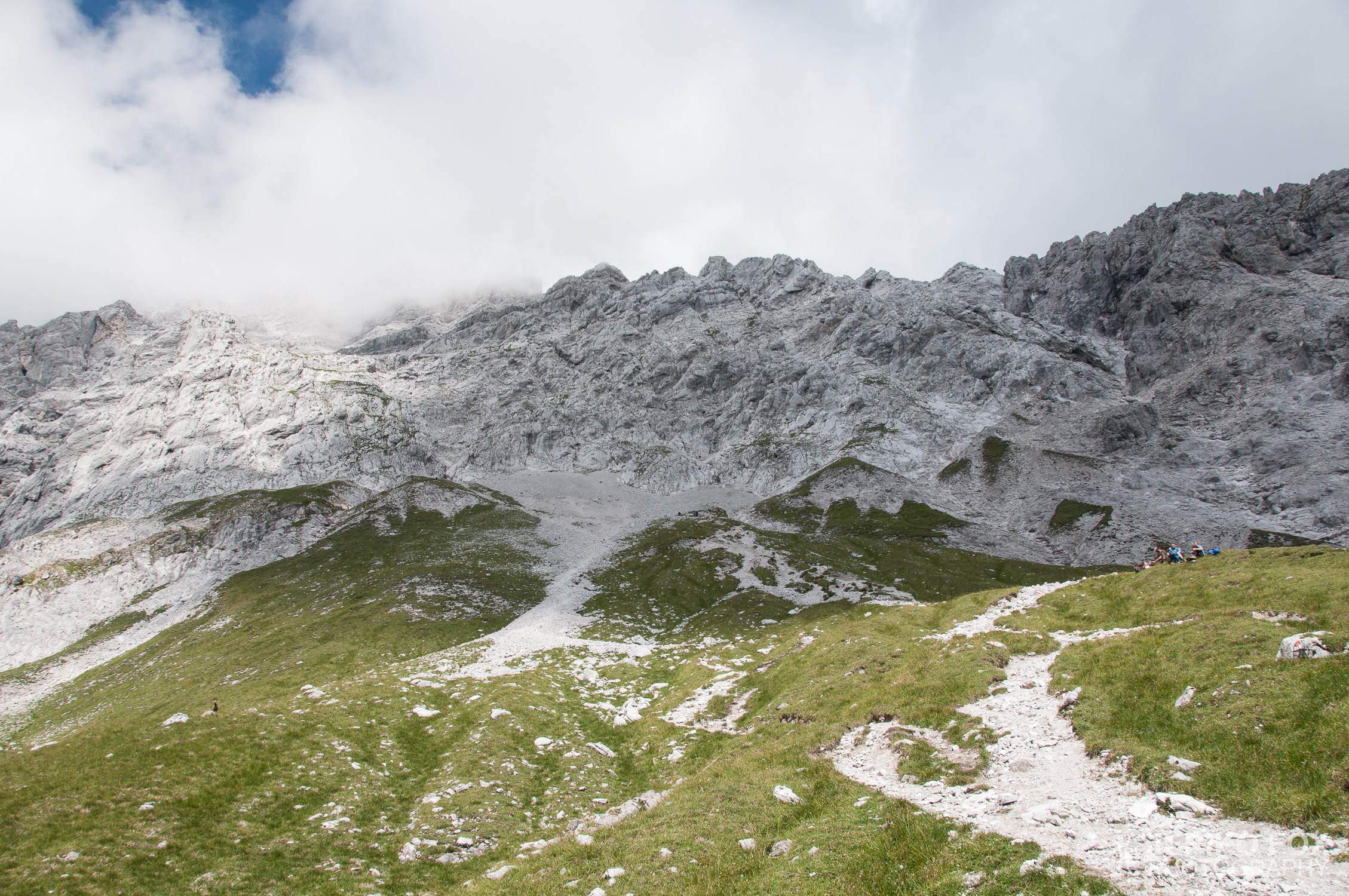
Schönau am Königsee (608 m), Grünsteinhütte (1220 m), Grünstein (1303 m), Grünsteinhütte (1220 m), Kührointhütte (1420 m), Watzmannhaus (1930 m) / Normal route, Hocheck (2651 m), Mittelspitze (2713 m), Südspitze (2712 m)
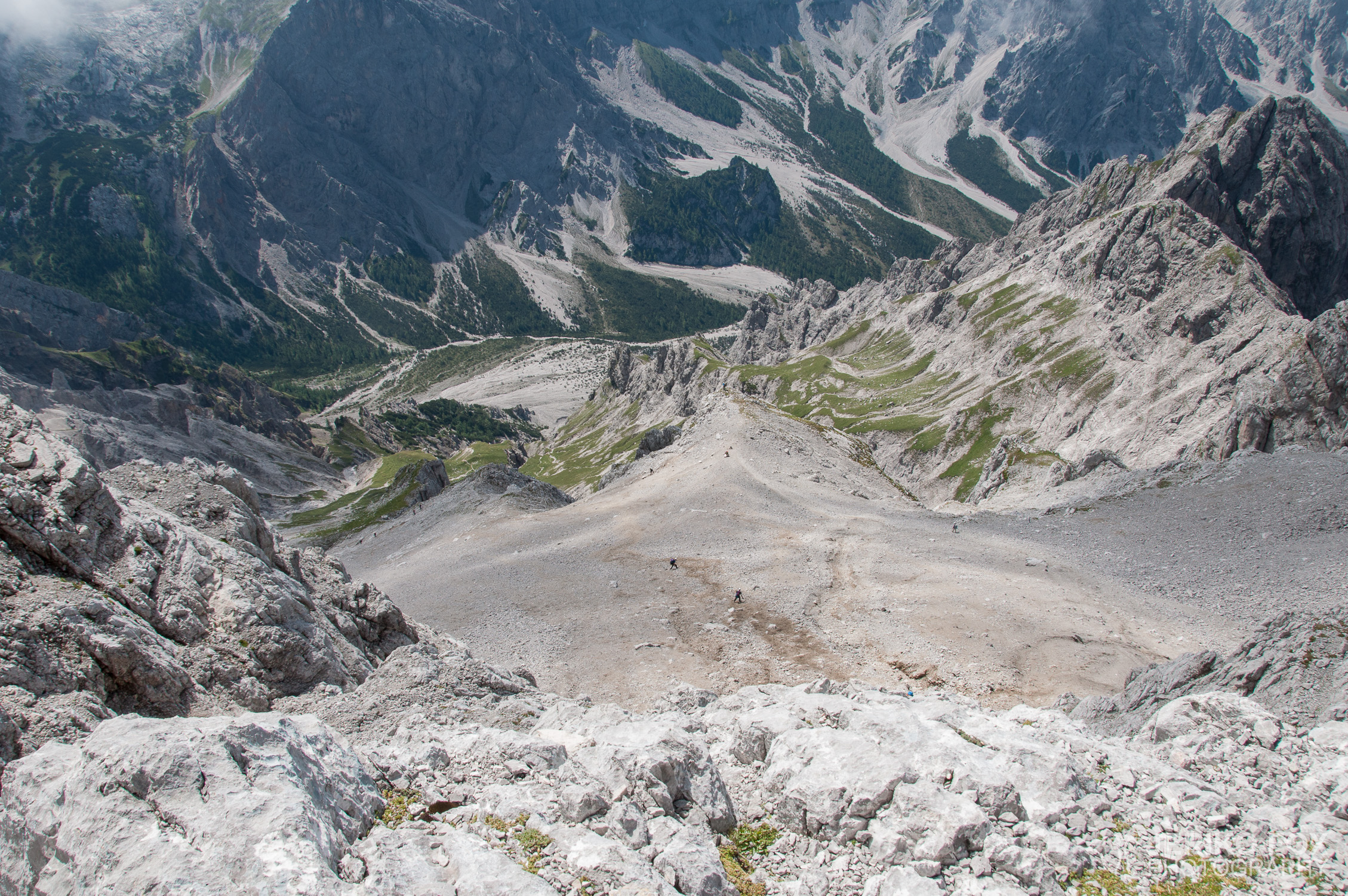
Südspitze (2712 m), south face, Wimbachgrieshütte (1327 m), Wimbachbrücke (700 m)
Kompass – Berchtesgadener Land 794, 1:25 000
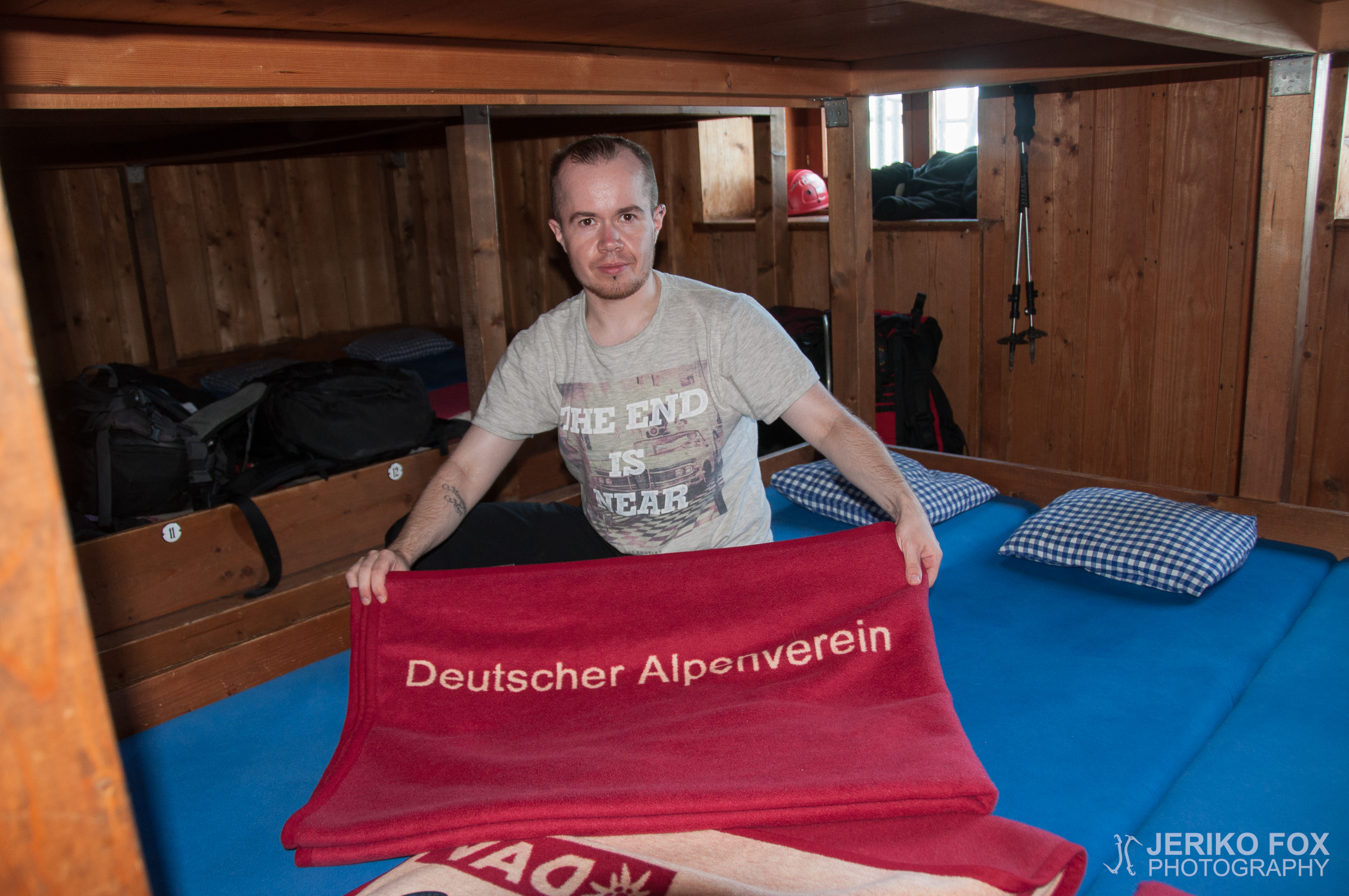
Semi-rigid boots, soft shell, harness, VF-set, helmet, trekking poles, sleeping bag liner
Route map
Day 1 (Schönau am Königsee-Watzmannhaus)
Map of the route “Watzmann Traverse”: 10,714 m, 1,470 m of climbing and 155 m of descent, elevation between 610 m and 1,925 m, time 07:34:15. It starts at 47.59417, 12.98187 and ends at 47.57099, 12.93372 (latitude, longitude).
Max elevation: 1925 m
Total time: 07:34:15
Day 2 (Watzmannhaus-Wimbachbrücke)
Map of the route “Watzmann Traverse”: 20,562 m, 1,065 m of climbing and 2,319 m of descent, elevation between 675 m and 2,708 m, time 12:30:52. It starts at 47.57114, 12.93402 and ends at 47.60220, 12.92456 (latitude, longitude).
Max elevation: 2708 m
Total time: 12:30:52