
Serbia: Belgrade
Although I have been traveling a lot around Europe, Balkans have remained unvisited. My friend...
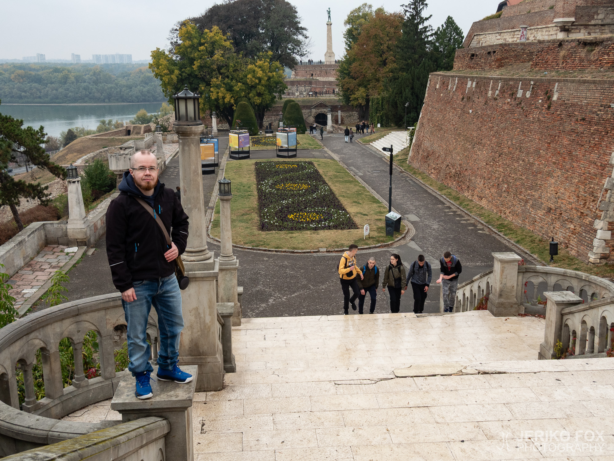
Although I have been traveling a lot around Europe, Balkans have remained unvisited. My friend...
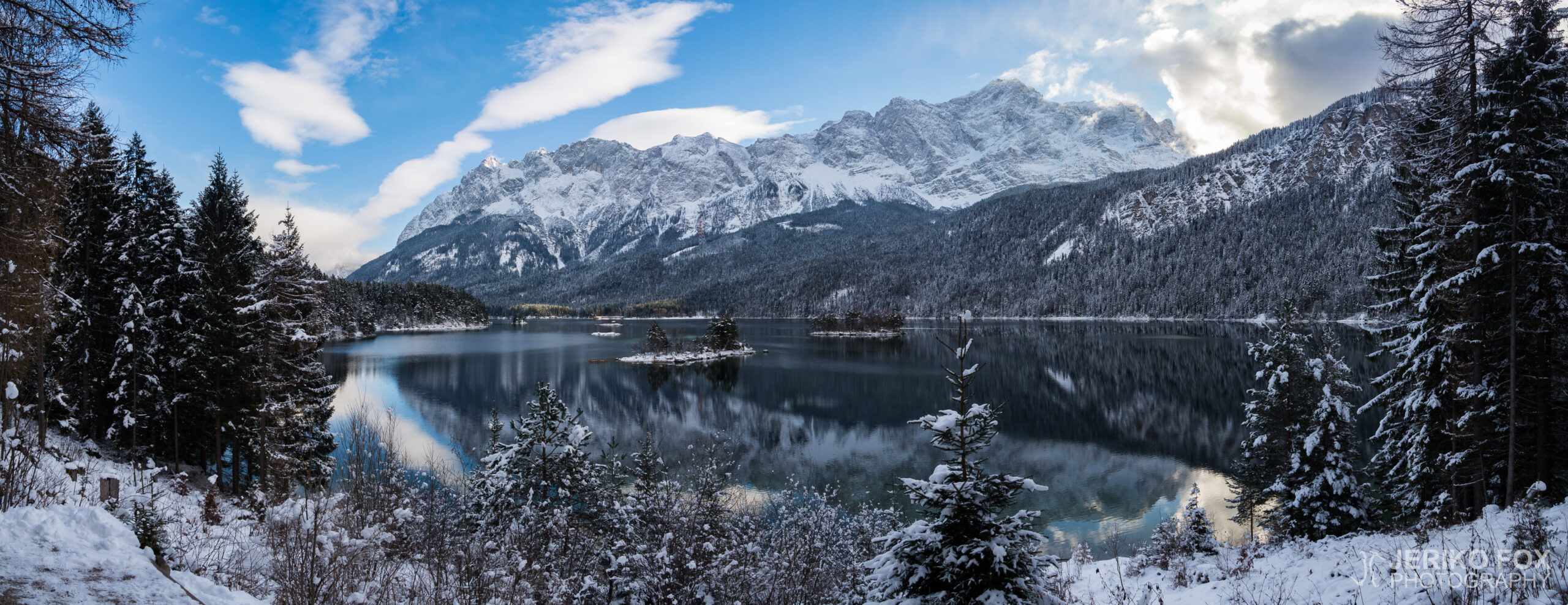
The next Christmas is soon closer than the last one, but I found some too...
In the morning we gathered our belongings and headed to Zermatt’s railway station after a...
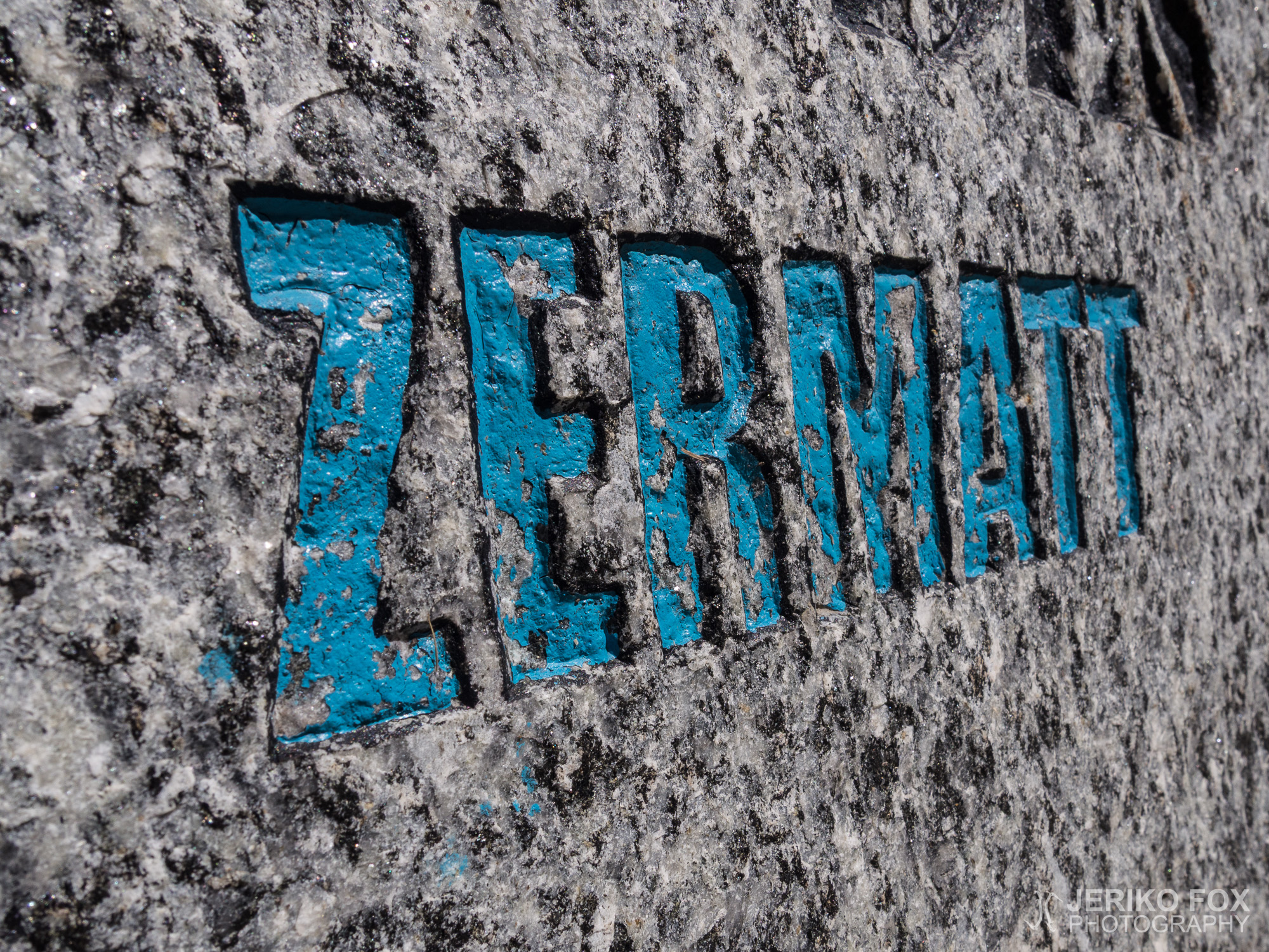
We decided to spend our last day in Zermatt recovering and walking around the town....
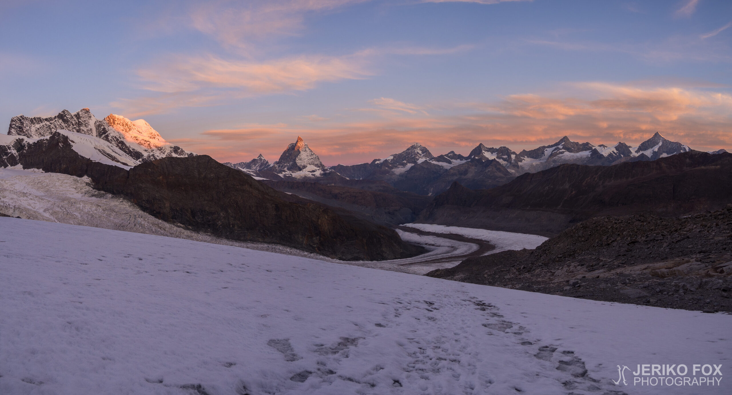
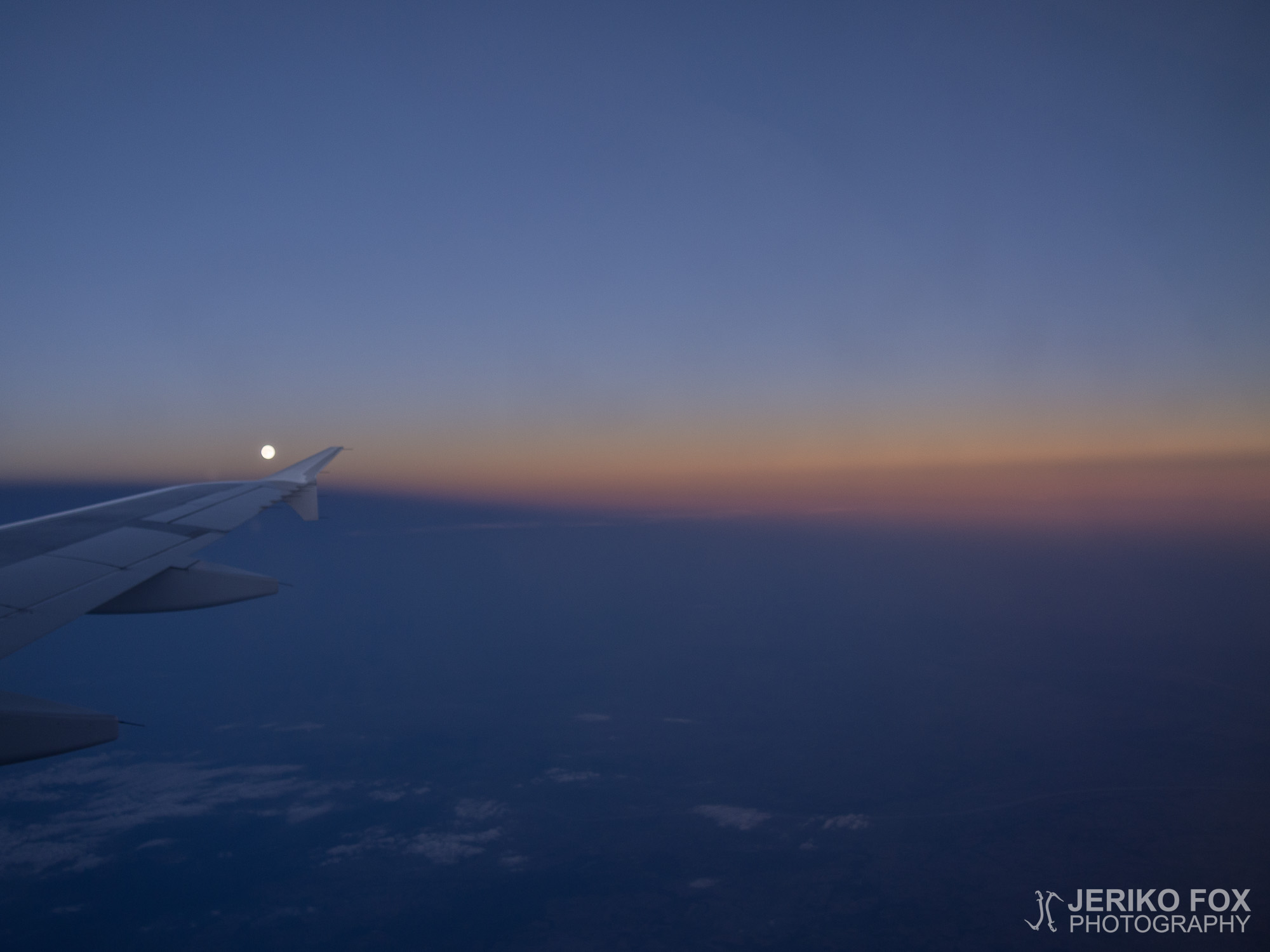
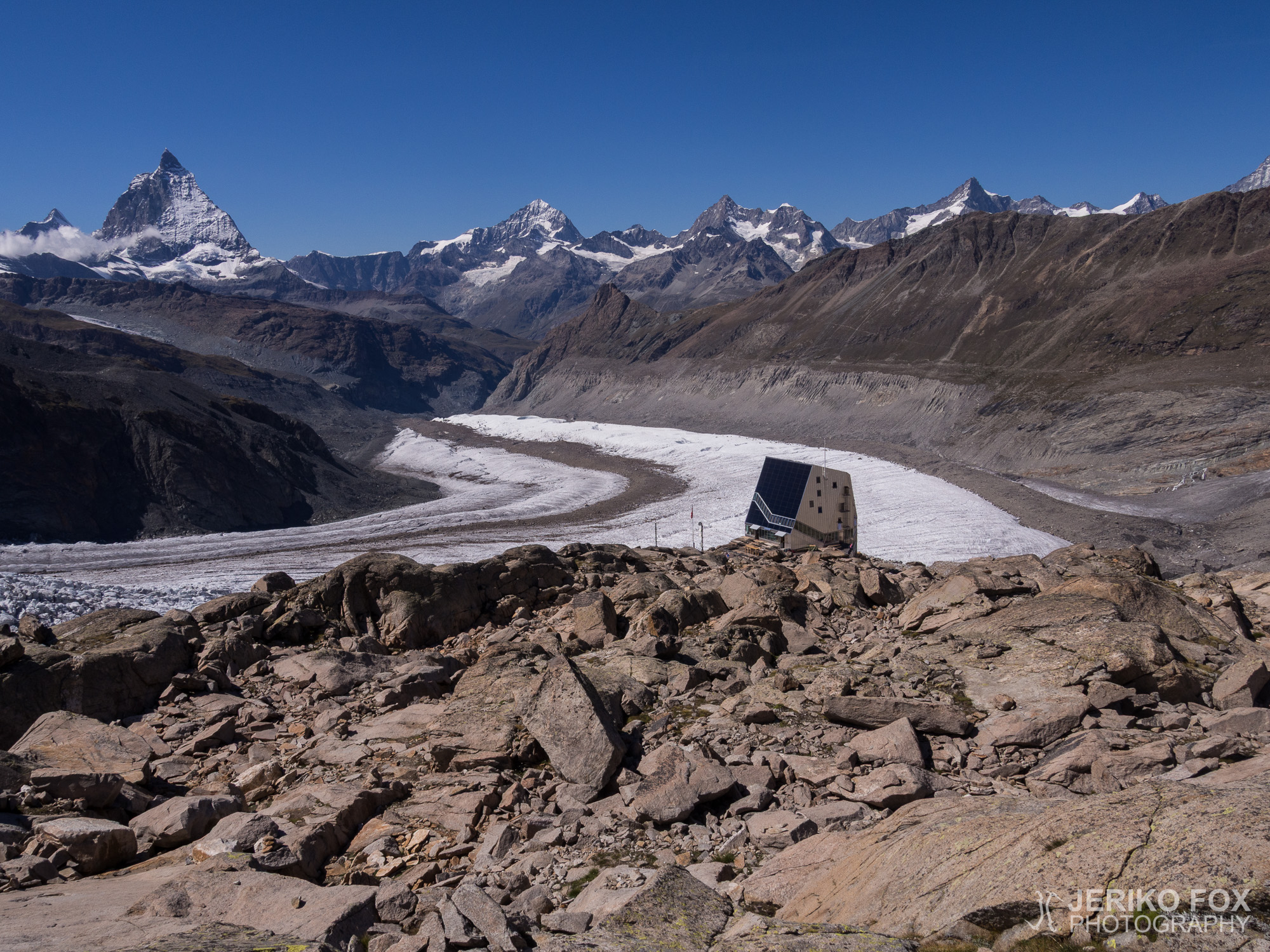
My cell phone woke me up somewhere between 1 am and 2 am. The sleep...
After reaching the summit of Großglockner in 2013, I have been dreaming about my next big...
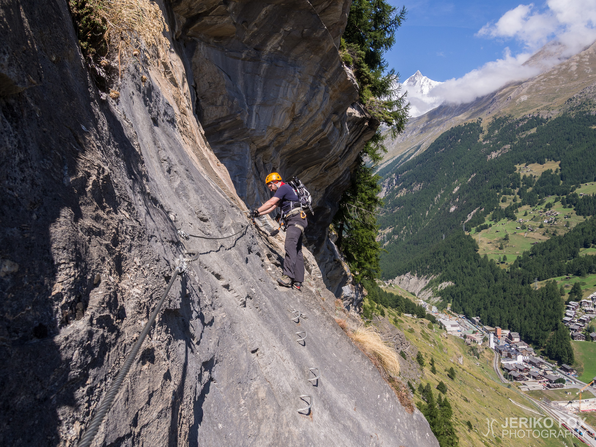
The first sunny day in Zermatt we decided to climb something fun and laid-back, since...