
Naurissaari – The Bunker Island
Naurissaari (lit. Turnip Island) is a small island in Lappeenranta, located off the shores of...
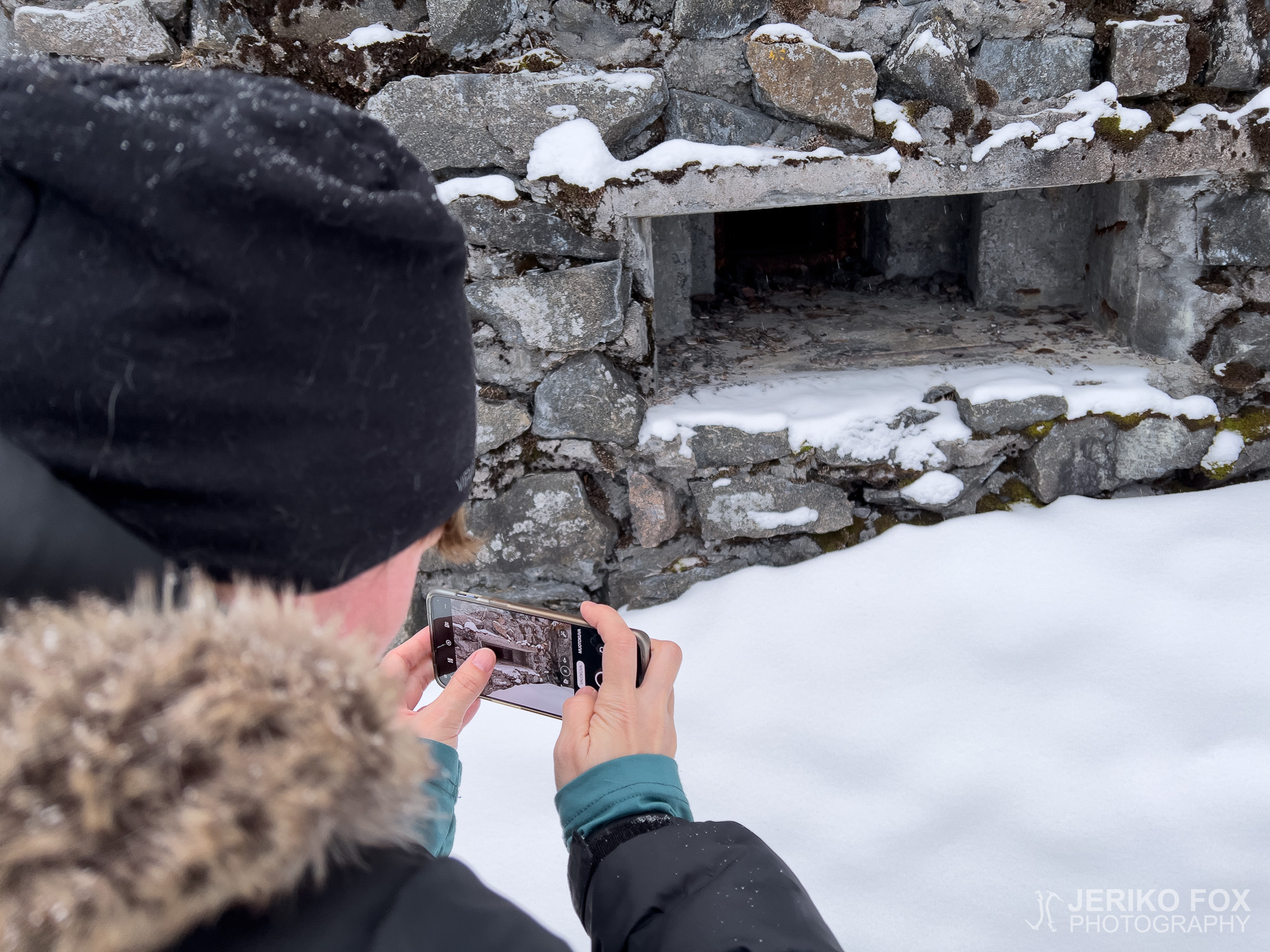
Naurissaari (lit. Turnip Island) is a small island in Lappeenranta, located off the shores of...
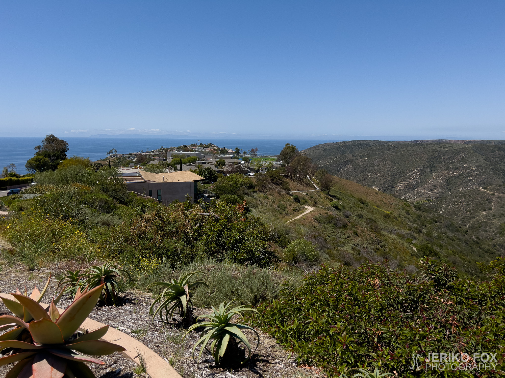
South of Los Angeles, in Orange County, lies a viewpoint grandly named Top of the World,...
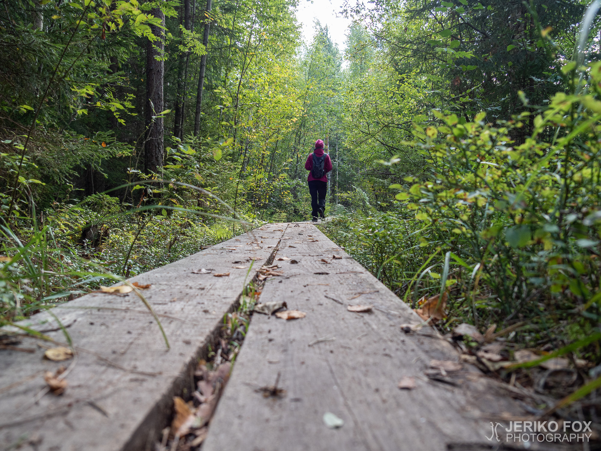
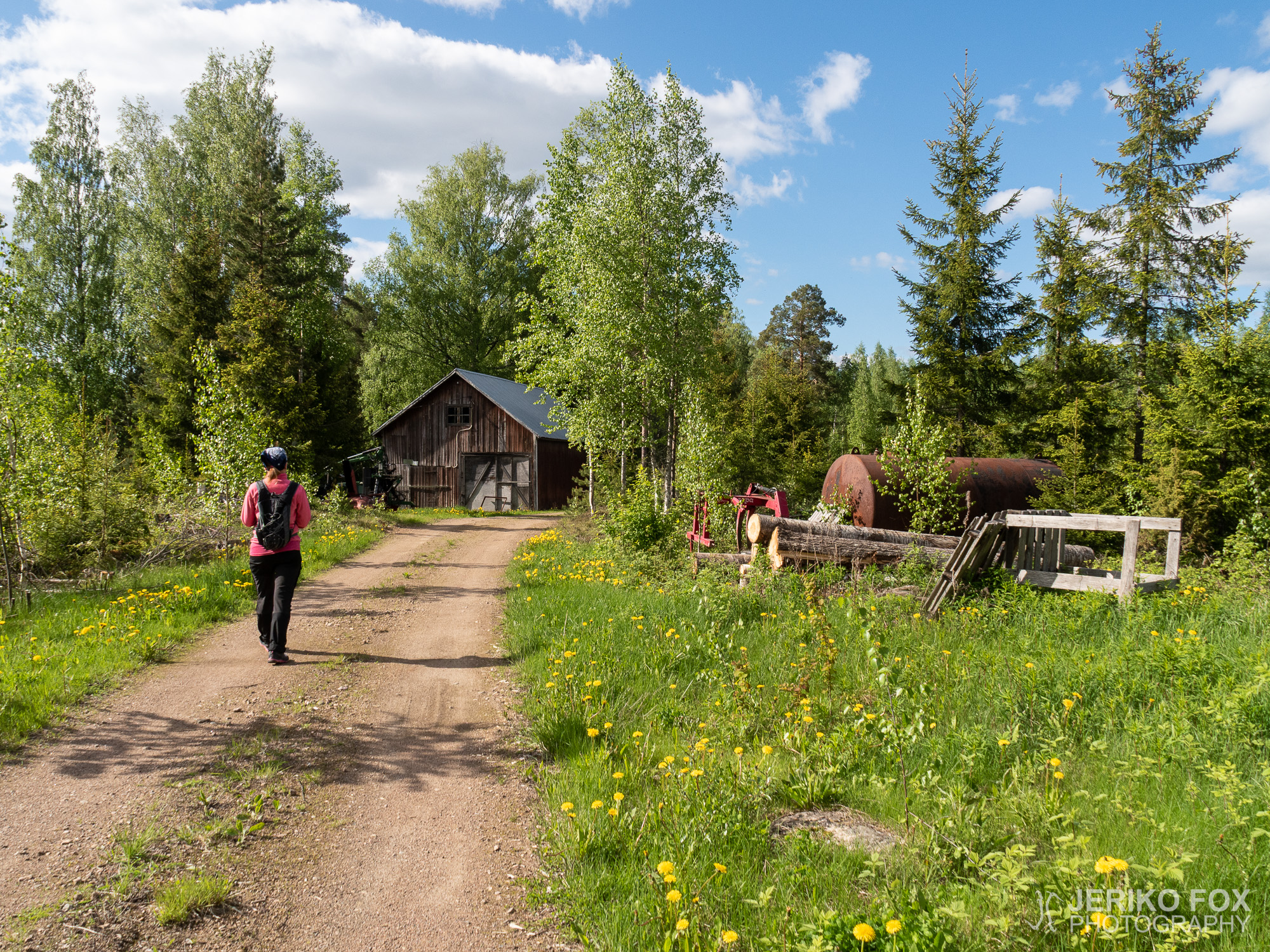
The Orrainpolku Trail in the village of Orrai in Savitaipale is one of the South...
When you drive from Lappeenranta to Mikkeli, a bit before you arrive to your destination...
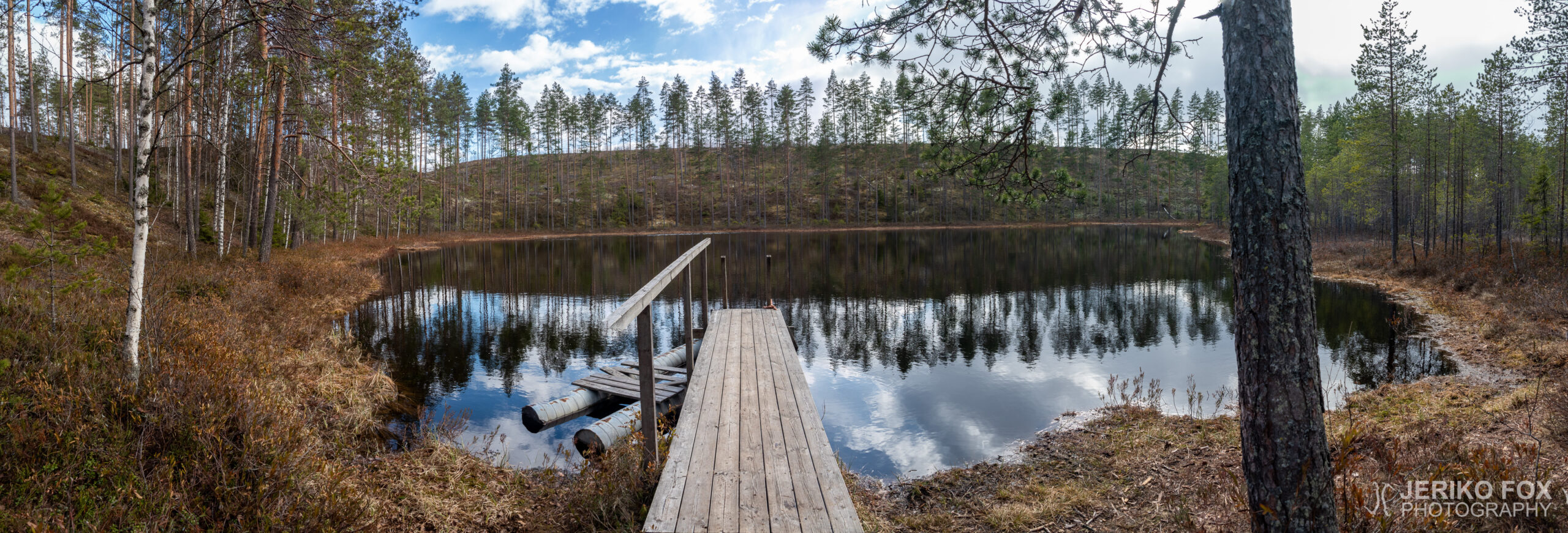
In the village of Peräkylä in Lemi there is a narrow and curved lake called...
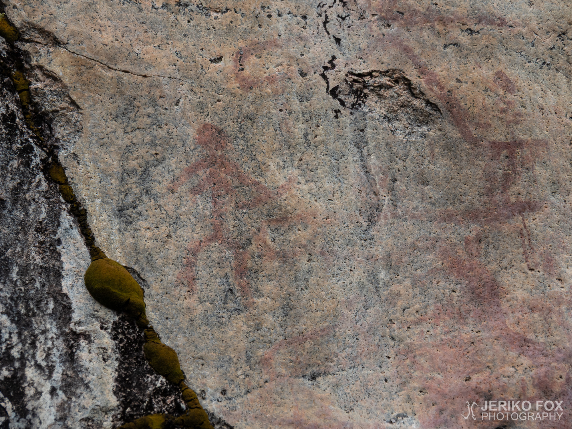
Kuivaketvele Hillfort is a fortress from Viking Age (800-1050) in the island of Kuivaketvele, in...
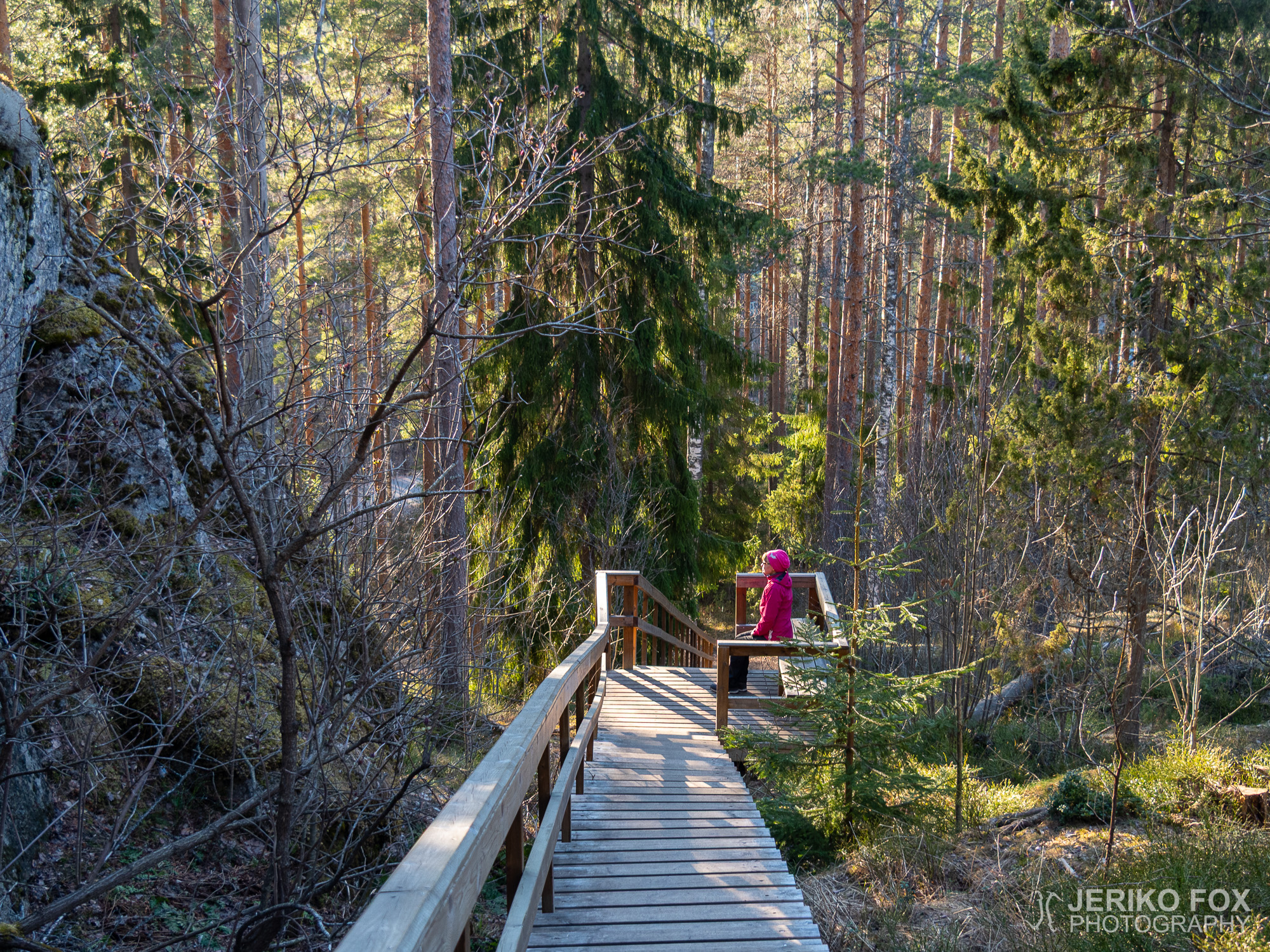
Have you ever passed a place – perhaps more than once – and been thinking...