
Partnachklamm & Eckbauer
There are two stunning gorges near Garmisch-Partenkirchen, both carved by a rushing river – Partnachklamm...
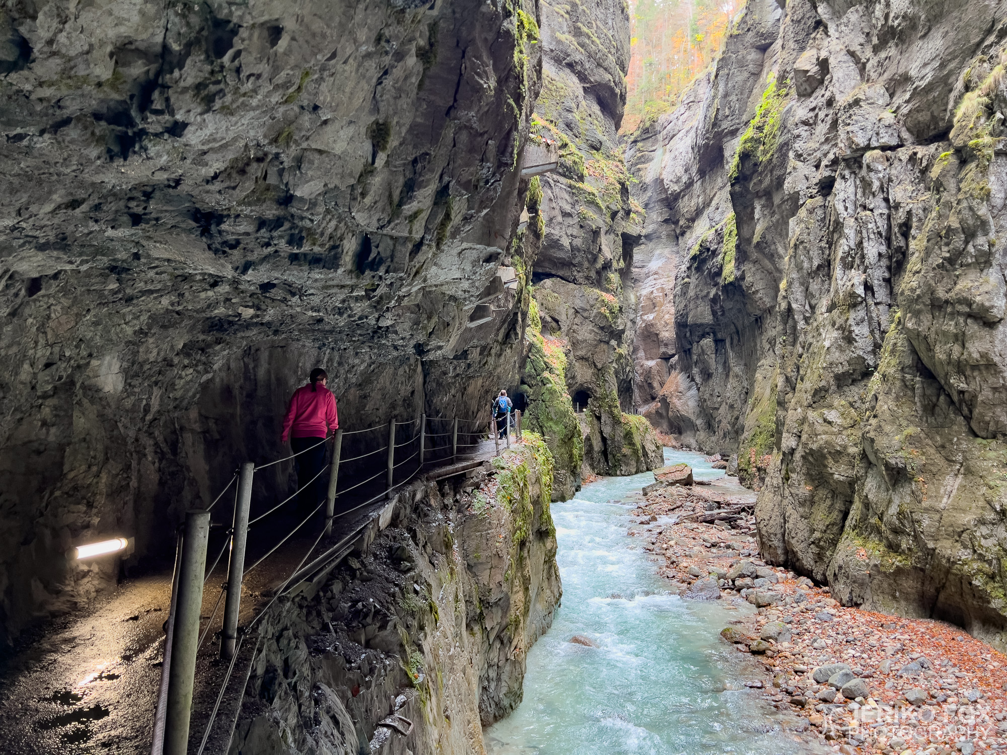
There are two stunning gorges near Garmisch-Partenkirchen, both carved by a rushing river – Partnachklamm...
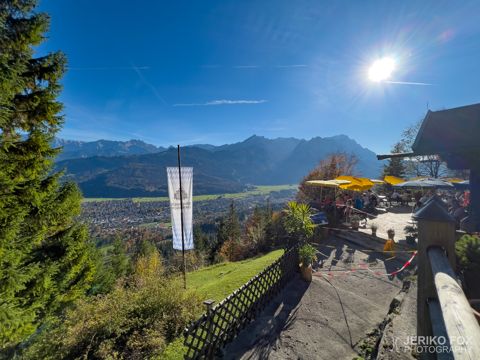
Nina and I set off on an autumn getaway to my home away from home...
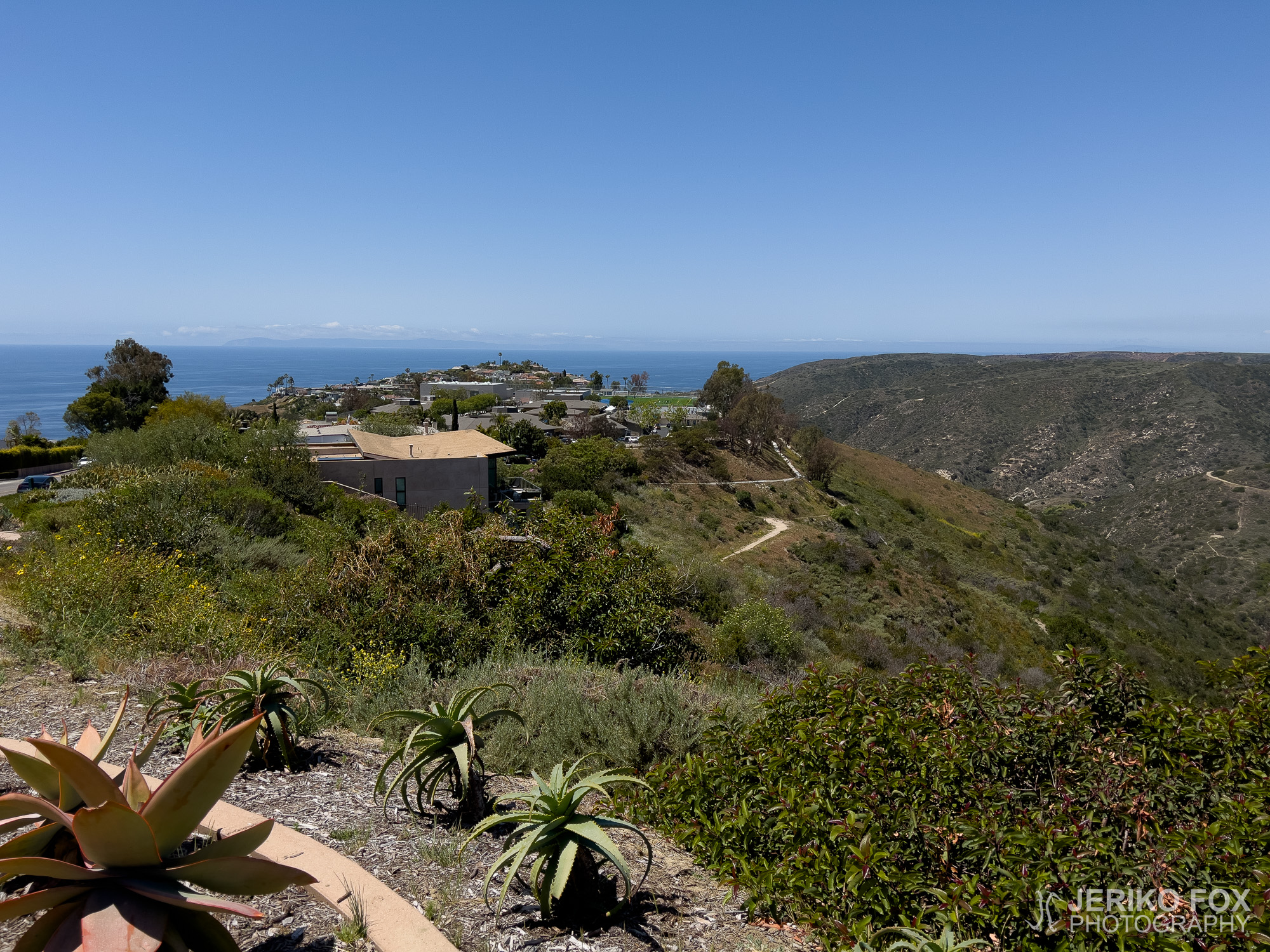
South of Los Angeles, in Orange County, lies a viewpoint grandly named Top of the World,...
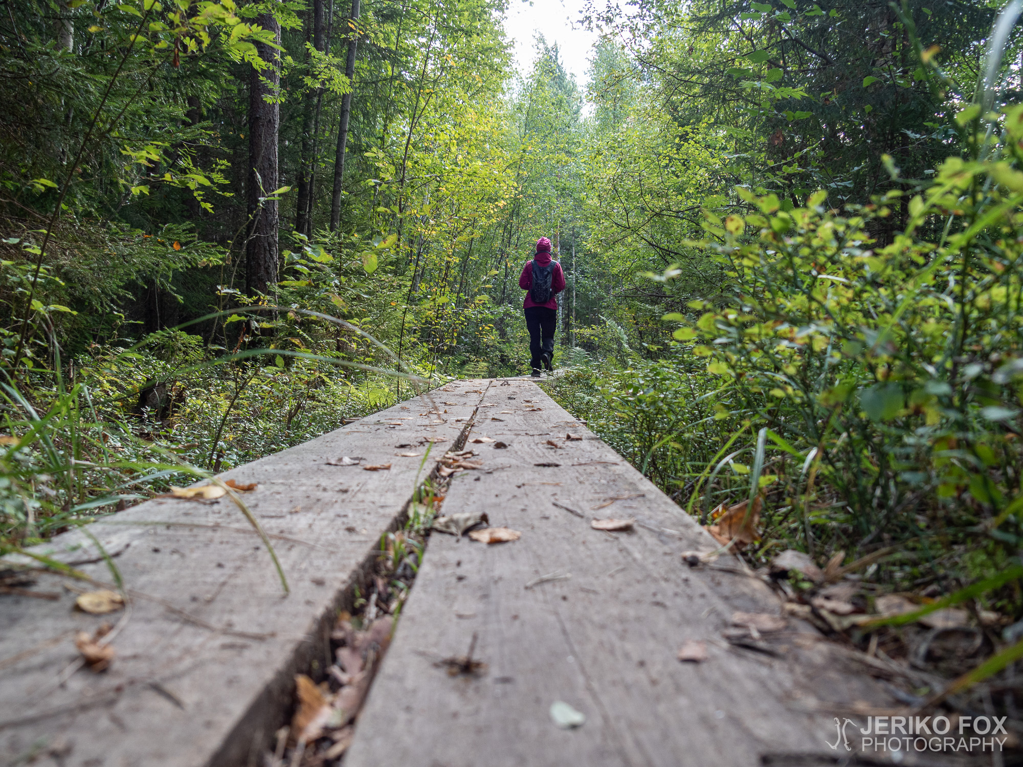
The Orrainpolku Trail in the village of Orrai in Savitaipale is one of the South...
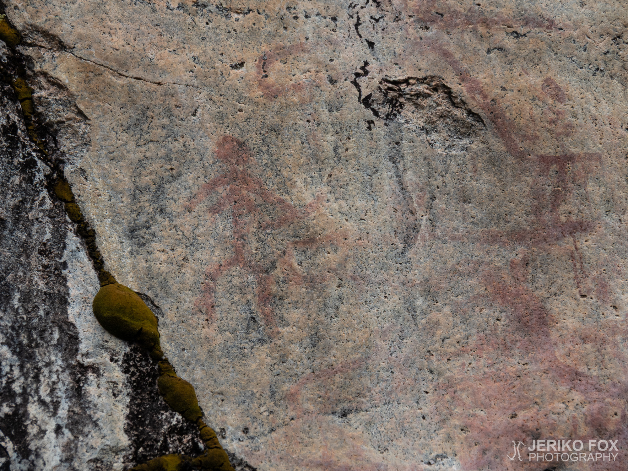
When you drive from Lappeenranta to Mikkeli, a bit before you arrive to your destination...
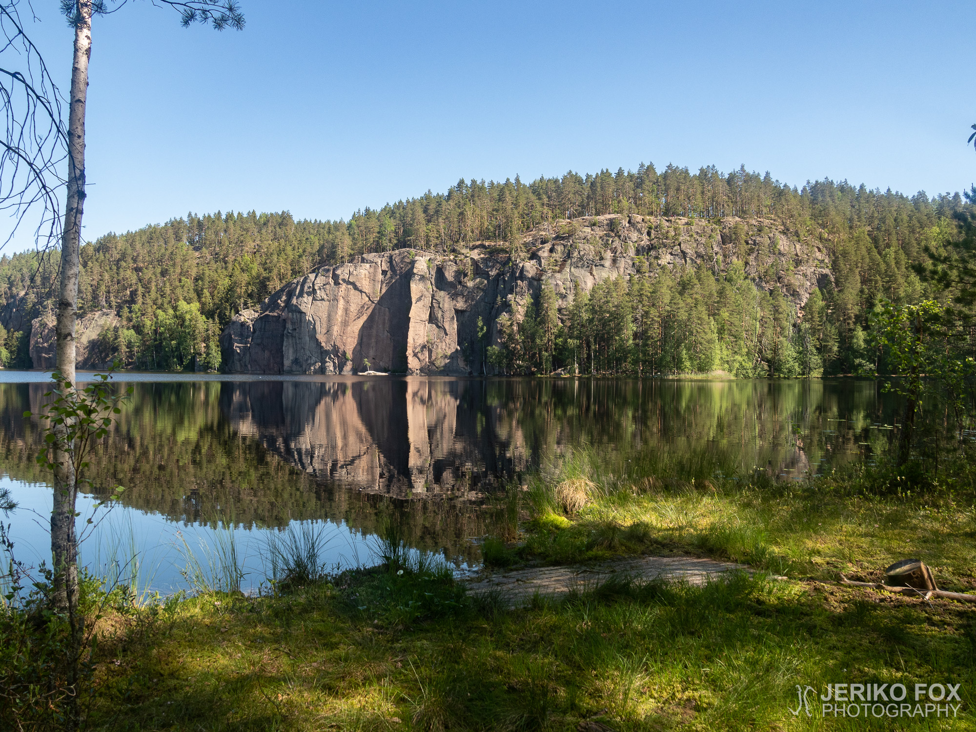
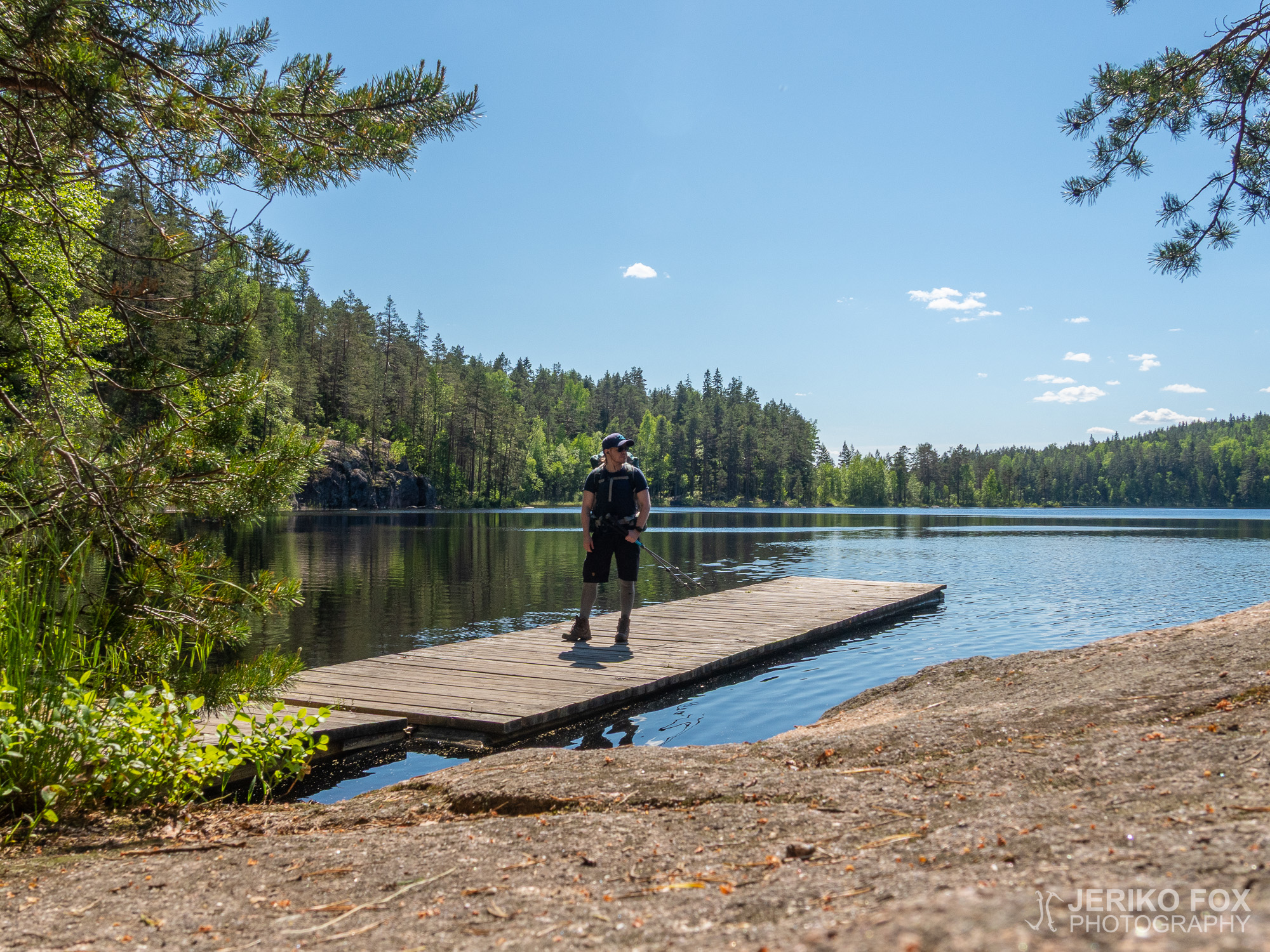
I woke up to a bright morning at Sukeltaniemi. After a while getting used to...
Repovesi National Park is located in Southern Finland, north from Kouvola. There are four marked...