
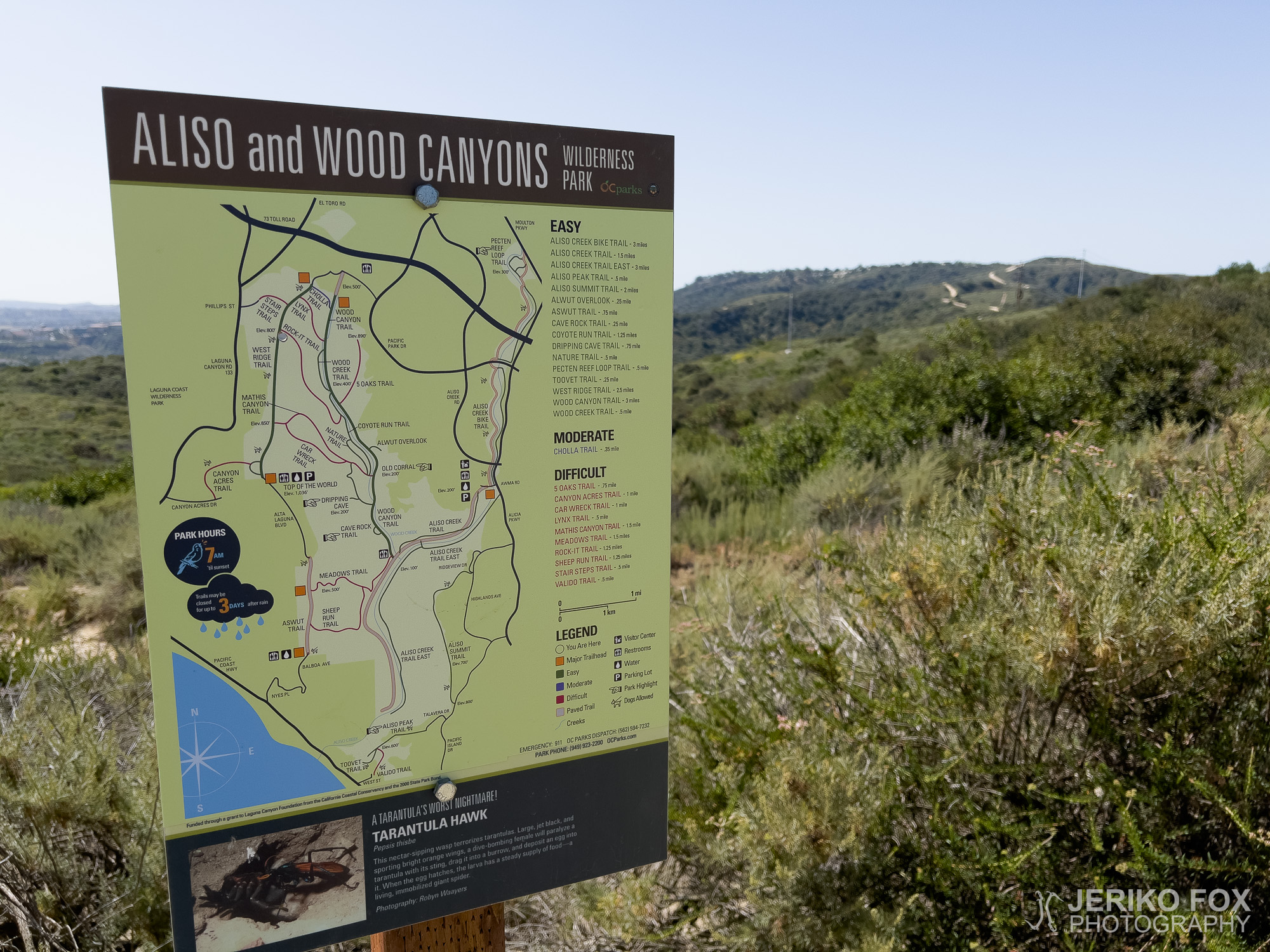
South of Los Angeles, in Orange County, lies a viewpoint grandly named Top of the World, perched directly above Laguna Beach. Given California’s vast and dramatic mountain ranges, this 368 m (1207 ft) “summit” is more of a polite hillock than a world-conquering peak. Still, it seemed like the perfect test walk after returning from the PCT – just to see what my feet would tolerate.
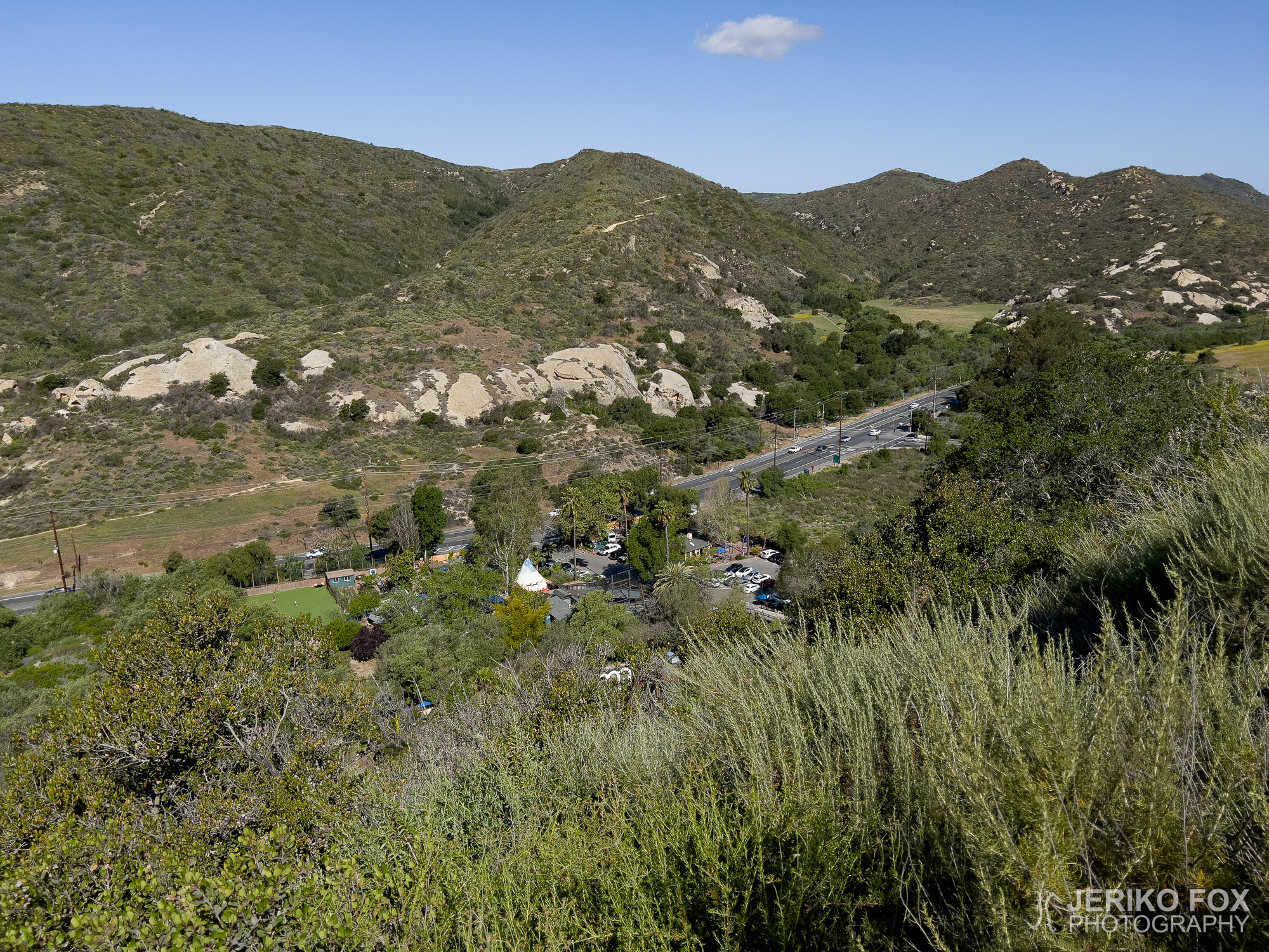
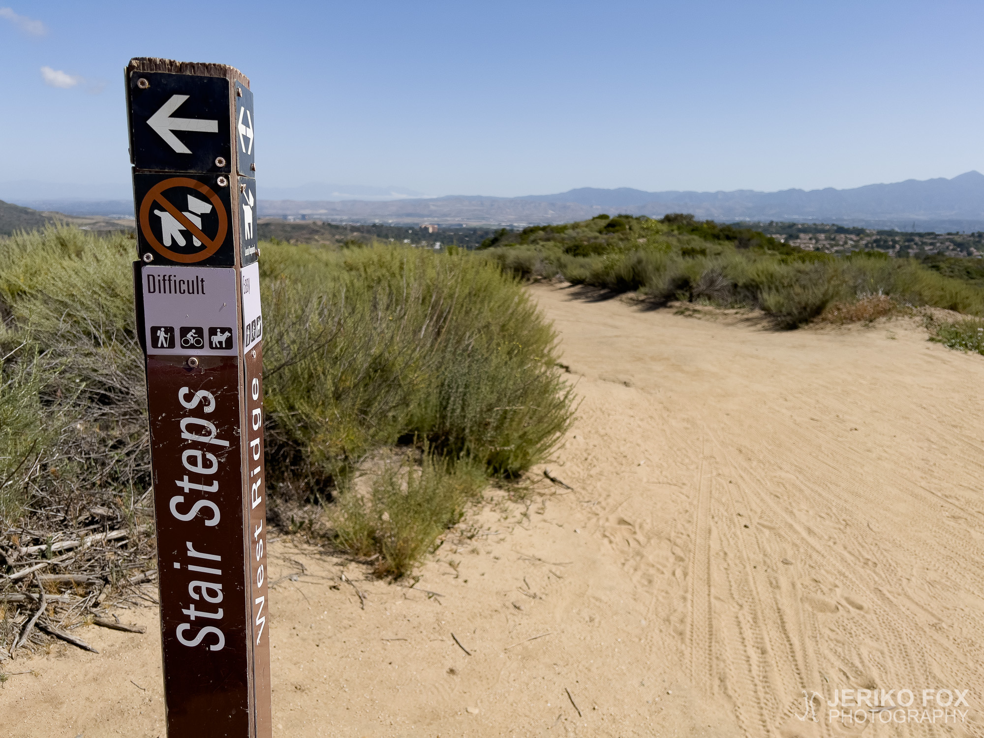
I set off from Anneliese Schools, turning immediately left from Laguna Canyon Road onto Phillips Street and following it to the very end to pick up the Stairsteps Trail. And what a staircase it was. The narrow sandstone gully had been worn down by mountain bikers to the point that even my small feet struggled to find purchase. Perhaps not the wisest route choice, as I soon found myself nearly flattened by a cyclist hurtling downhill at breakneck speed around a blind corner. Fortunately, we managed a peaceful, if slightly startled, passing.
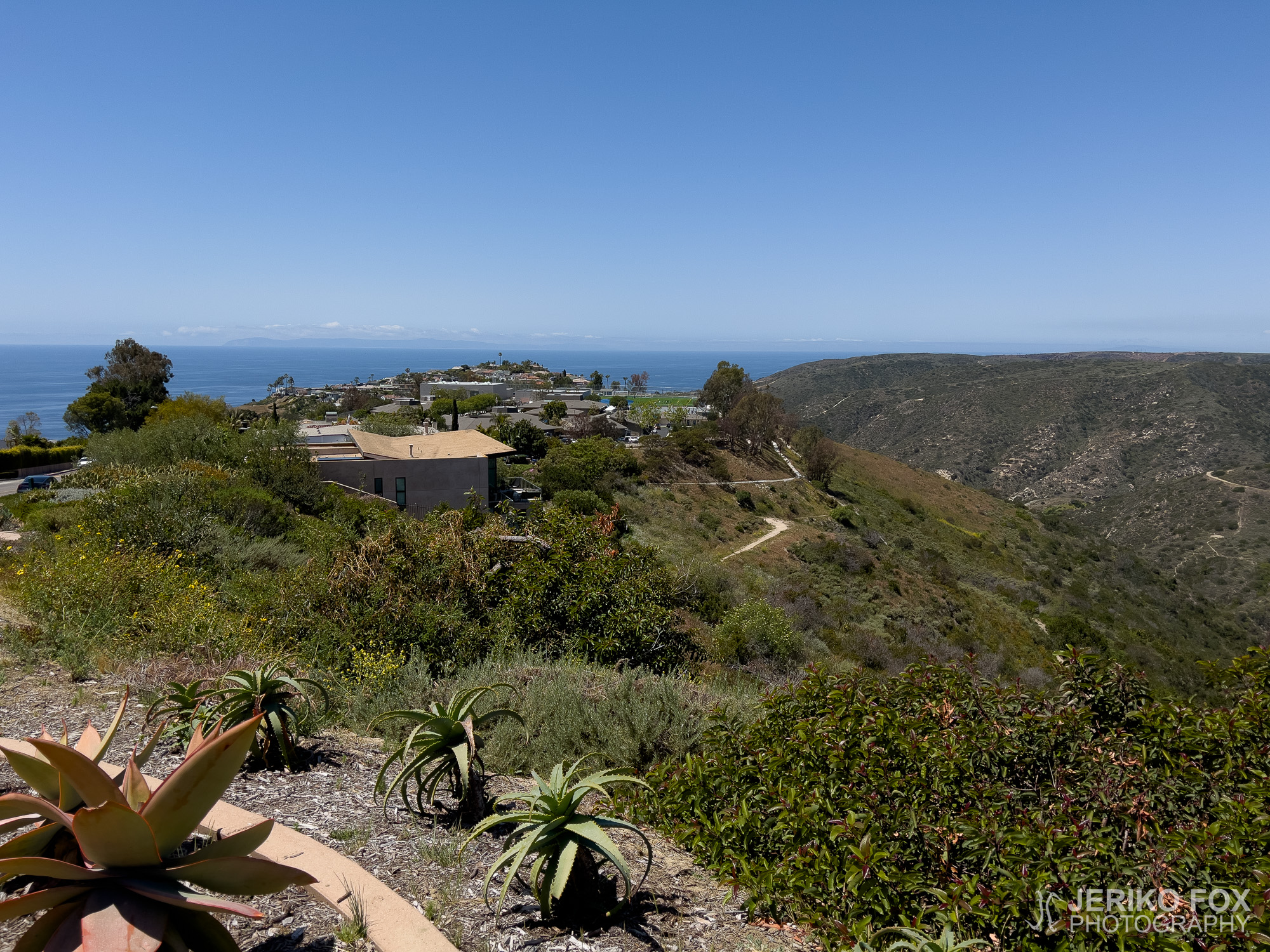
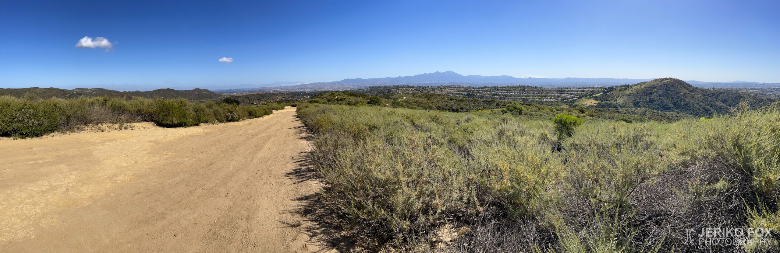
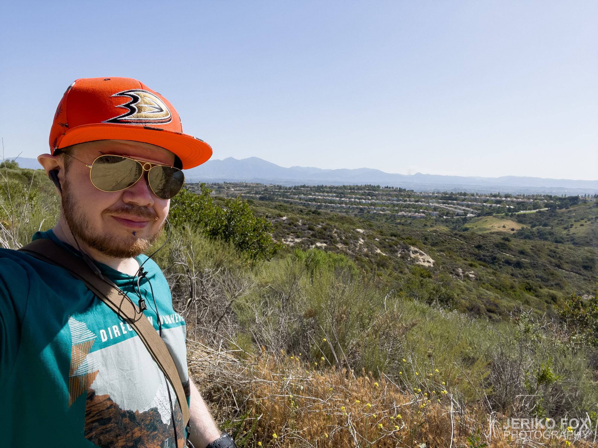
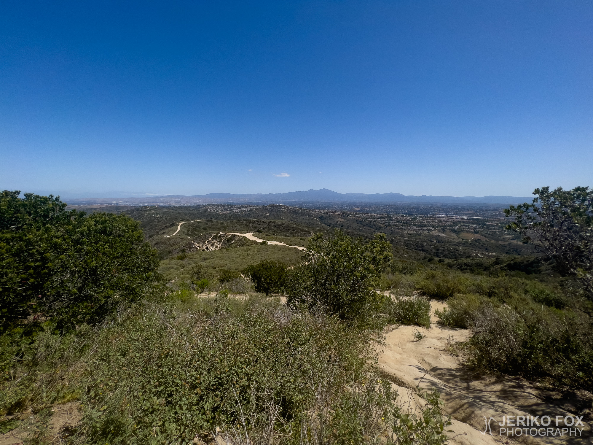
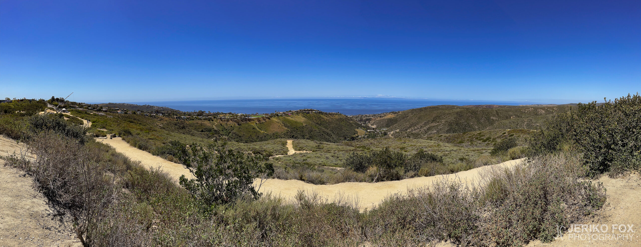
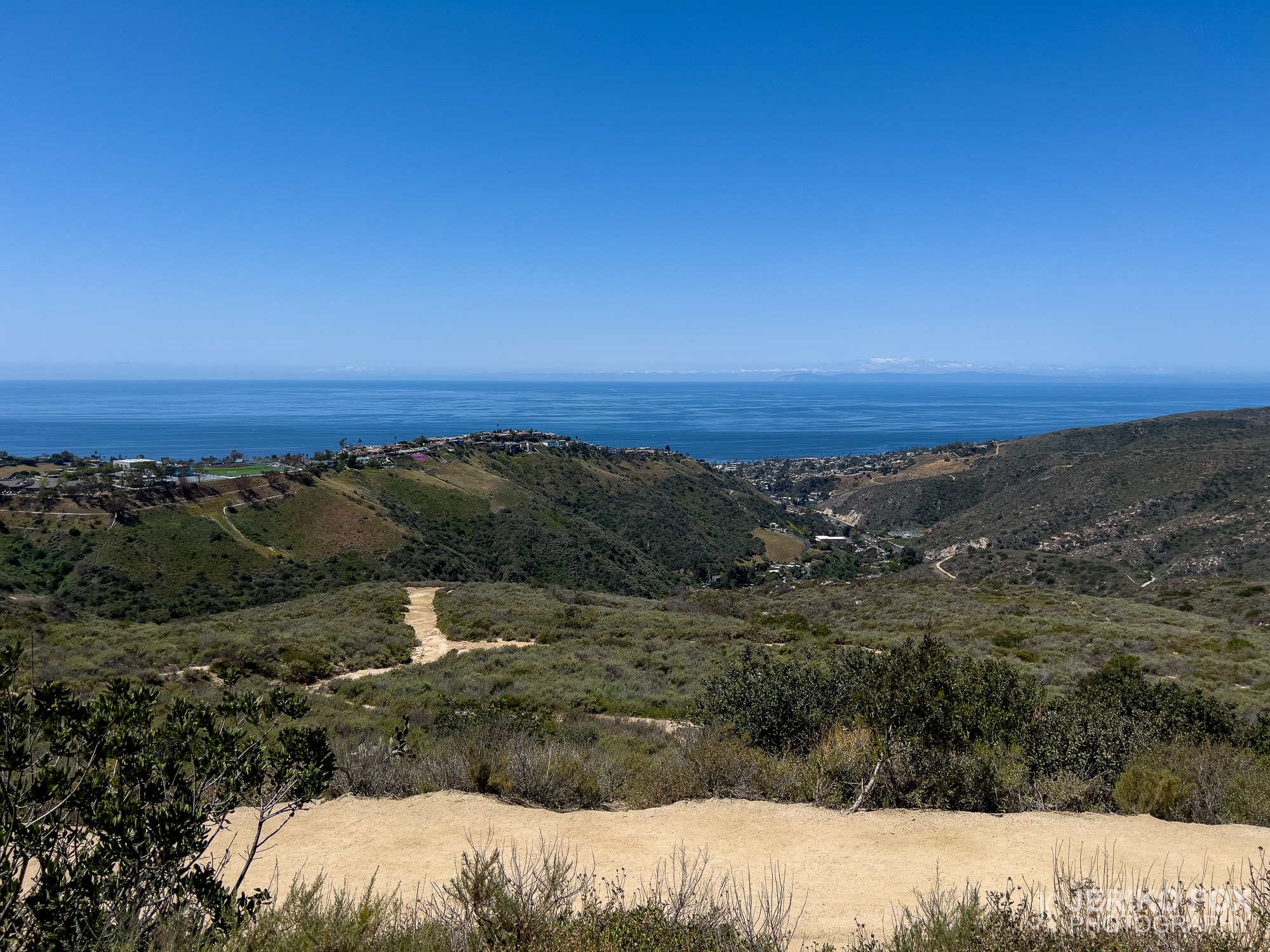
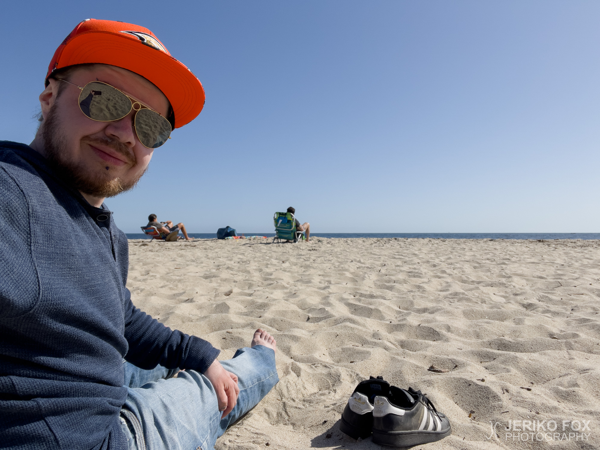
After a short climb, I reached West Ridge Trail and turned right – southward, towards the ocean. I wasn’t alone; plenty of others were out enjoying a stroll along the ridge, basking in the Californian sunshine. Thankfully, my cousin had given me a cap, sparing my head from the full brunt of the sun. The views from the ridge were stunning, and the trail itself was more of a gravel road than a traditional hiking path.
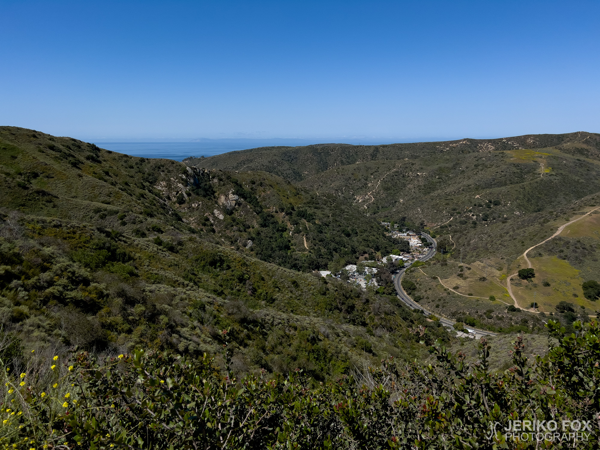
I kept an easy pace towards the viewpoint at the far end of the ridge. As I neared Top of the World, I spotted a gathering – a fully decked-out party, complete with picnic tables and a marquee. The occasion remained a mystery, but the guests were certainly dressed to impress. Luckily, they hadn’t claimed the actual viewpoint, so I was able to slip past without disturbing their celebration.
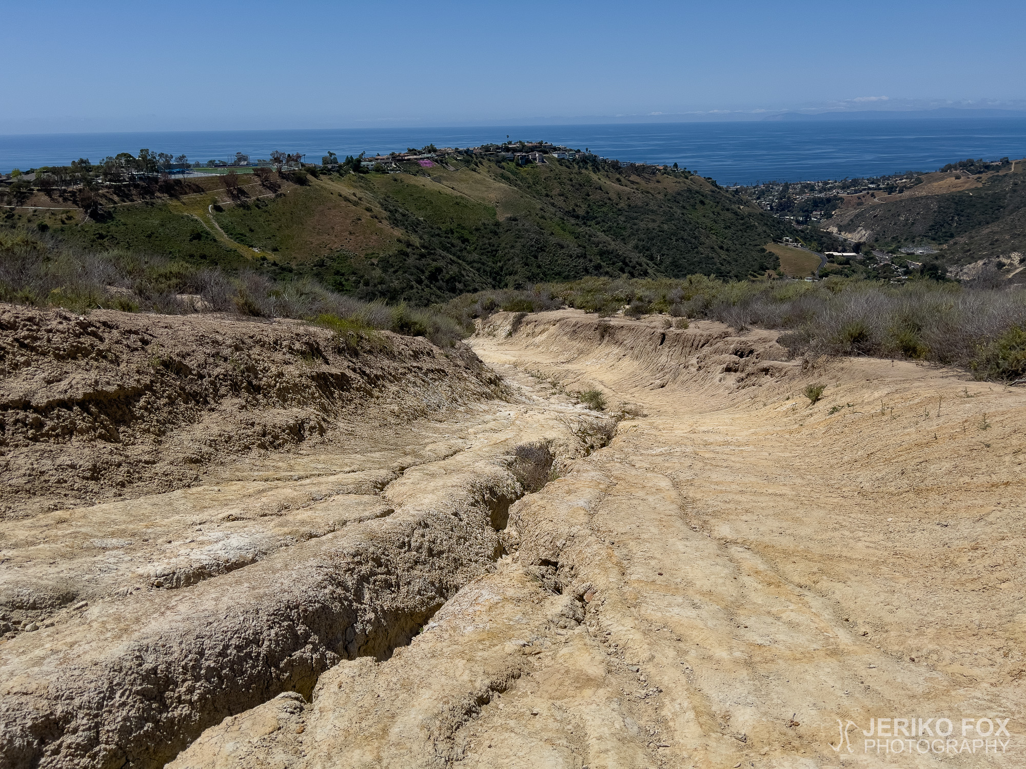
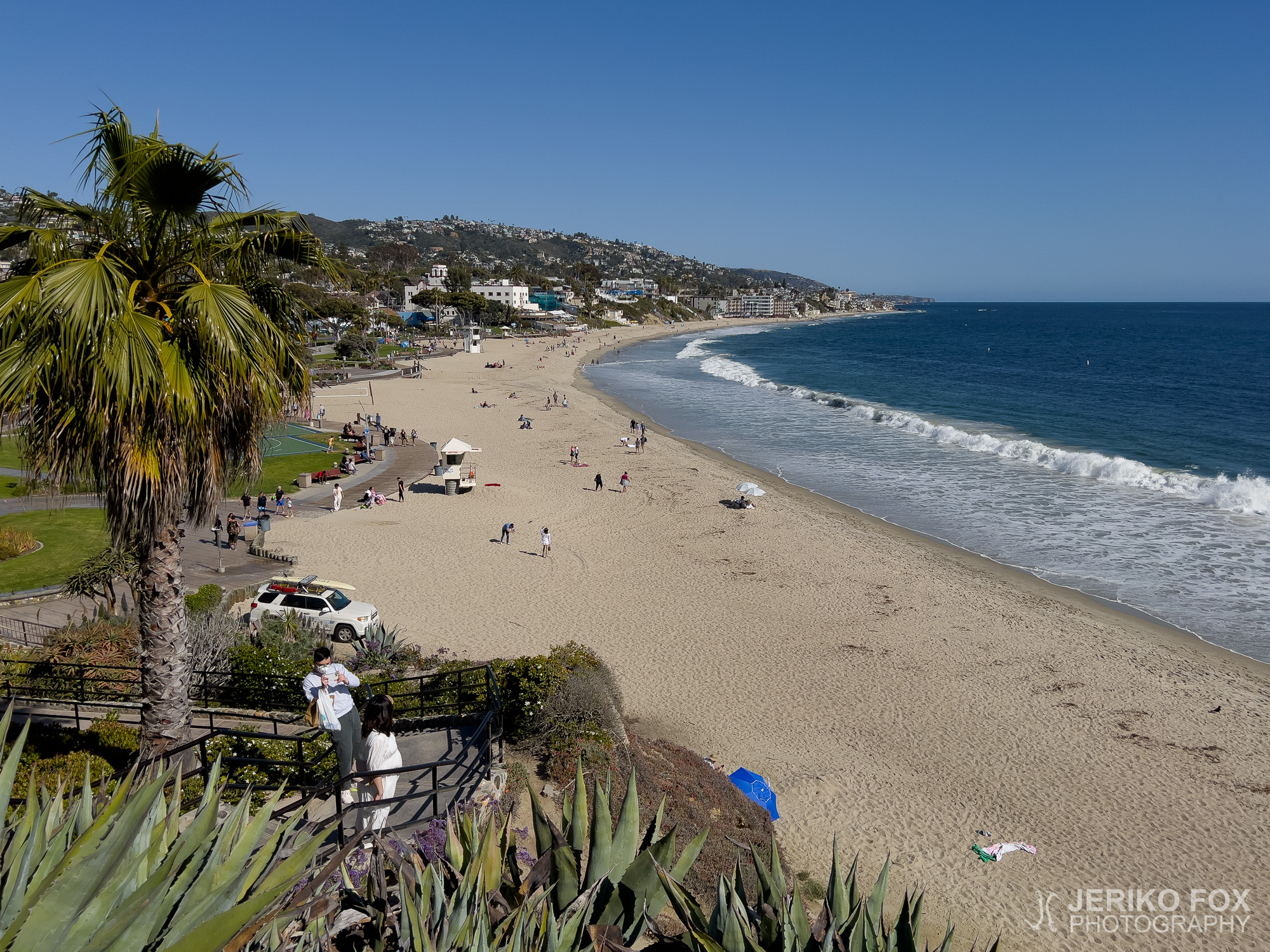
Calling this place Top of the World might be pushing the limits of poetic licence, but the view down to Laguna Beach was undeniably beautiful. For my descent, I tried to stick to trails rather than roads, but the options weren’t great – most were little more than deep, eroded gullies. Some sections were steep, even when I opted to walk alongside the road.
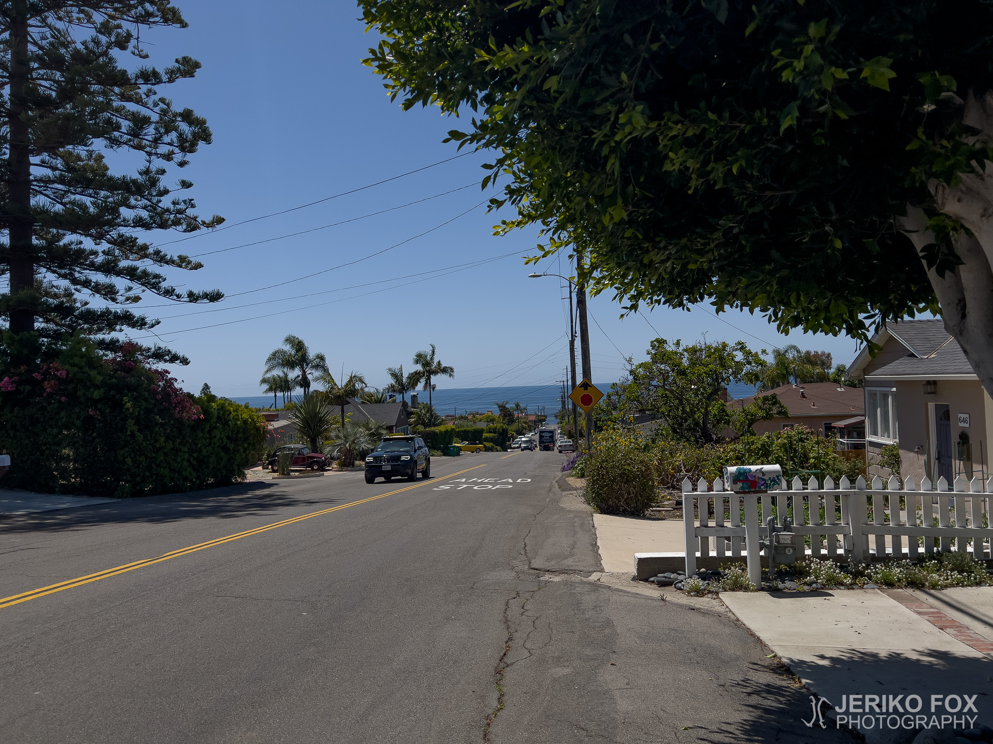
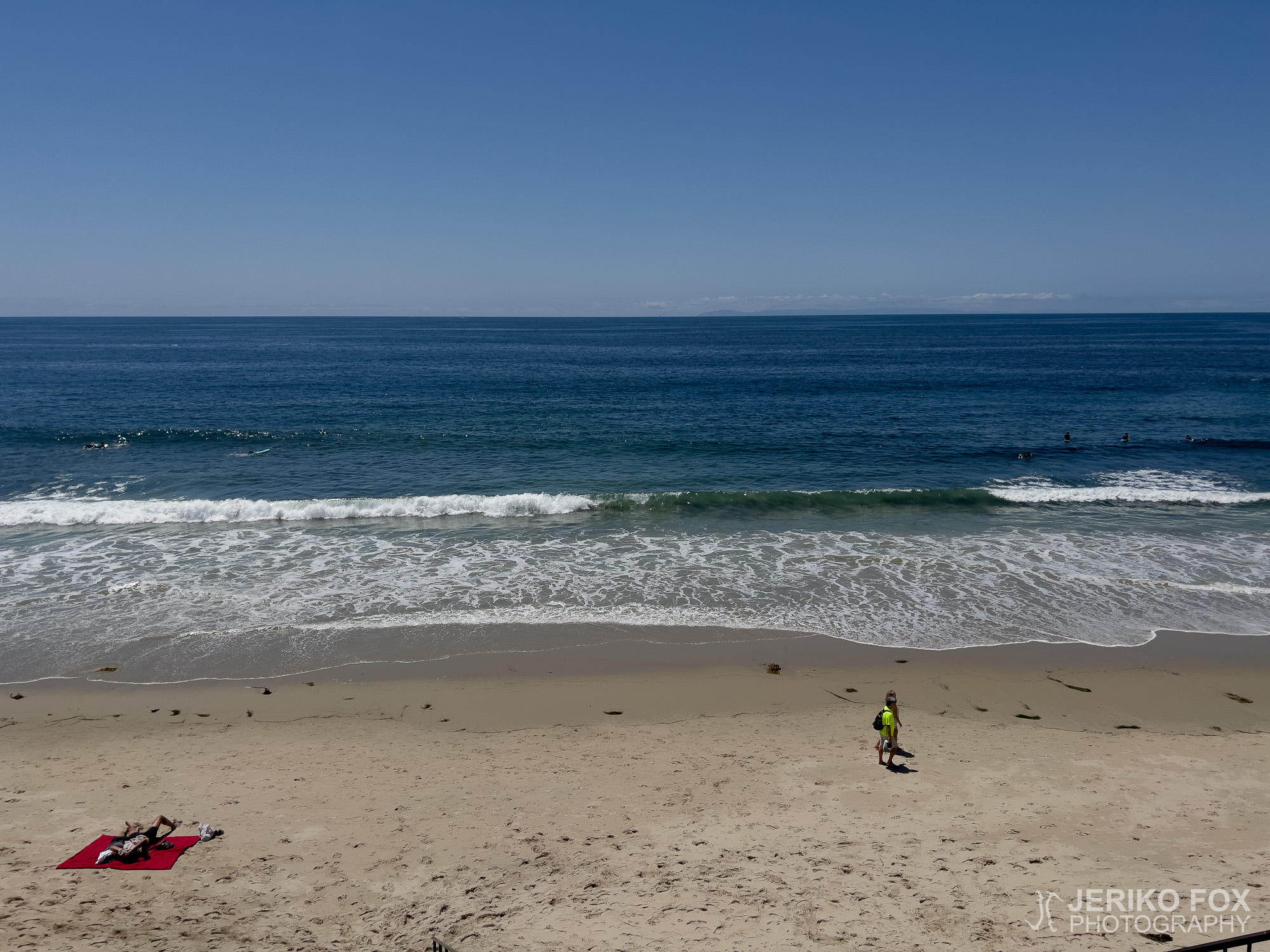
Before long, though, the ocean shimmered ahead of me. After just over nine kilometres (about 6 mi) of walking, I sank into the warm sand, a book in hand. With snacks from a nearby gas station to keep me satisfied, I was quite content to wait for my lift in the glorious weather.


Los Angelesin eteläpuolella, Orange Countyssa, on Top of the World -niminen näköalapaikka suoraan Laguna Beachin yläpuolella. Huomioiden Kalifornian huikeat vuoret, on tämä 368 metrinen maailmanlaki melko mitätön mäki. Se kuulosti kuitenkin sopivalta päiväkävelykohteelta tunnustellessani PCT:ltä palattuani mitä jalkani sietäisivät.
Lähdin liikkeelle Anneliese Schoolsilta kääntyen Laguna Canyon Roadilta heti vasemmalle Phillips Streetille ja kuljin sen päätyyn päästäkseni Stairsteps Trailille. Melkoiset askelmat ne olivatkin, koska hiekkakivinen kapea ränni oli kulunut maastopyöräilijöiden käytössä sellaiseksi, ettei minunkaan pieni jalkani meinannut mahtua mihinkään. Eikä se ehkä paras reittivalinta ollut muutenkaan, kun tiukan mutkan takaa alamäkeä kuolemaa uhmaten syöksynyt pyöräilijä yllätti minut. Ohitus sujui kuitenkin sopuisasti.
Lyhyen nousun jälkeen saavuin West Ridge Trailille, jota suuntasin oikealle eli etelään, kohti merenrantaa. Harjanteella oli muitakin päiväkävelyllä ja Kalifornian aurinko helli siinä määrin, että onnekseni olin saanut serkultani lippiksen pään suojaksi. Näköalat harjanteelta ovat kauniit ja polku enemmänkin hiekkatie.
Kävelin rauhallista vauhtia kohti harjanteen päädyssä olevaa Top of the Worldin näköalapaikkaa. Jo hieman ennen sitä huomasin paikalla olevan jonkinlaisen juhlaseurueen picnic-pöytineen ja telttoineen. Juhlan laatu ei selvinnyt, mutta väki oli pynttääntynyt parhaimpiinsa. Onneksi he eivät olleet sijoittuneet aivan täysin näköalapaikalle, vaan sinne pääsi nousemaan heidän tilaisuuttaan häiritsemättä.
Top of the World on ehkä lievää liioittelua kaikilla mittapuilla, mutta näkymä alas Laguna Beachille on toki kaunis. Yritin valita alasmenoreitikseni mahdollisimman pitkälle polkuja autoteiden sijaan, mutta vaihtoehdot eivät olleet kummoisia. Eroosion syömiä rännejä lähinnä. Alamäki oli varsin jyrkkä – jopa siltä osin, kun kävelin autotien vierustaa.
Ennen pitkää alkoi kuitenkin meri kimmeltää edessäni ja reilun yhdeksän kilometrin kävelyn päätteeksi istahdin rantahiekalle nauttimaan auringosta ja mukanani tuomasta kirjasta. Läheiseltä huoltoasemalta hakemieni eväiden turvin saatoin odotella paluukyytiä mukavassa säässä.
Max elevation: 313 m
Total time: 04:05:13