
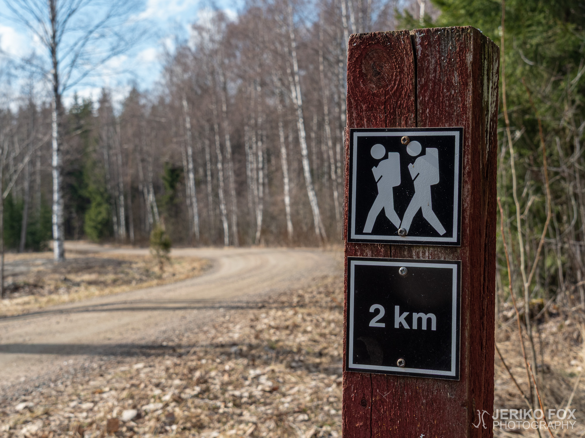
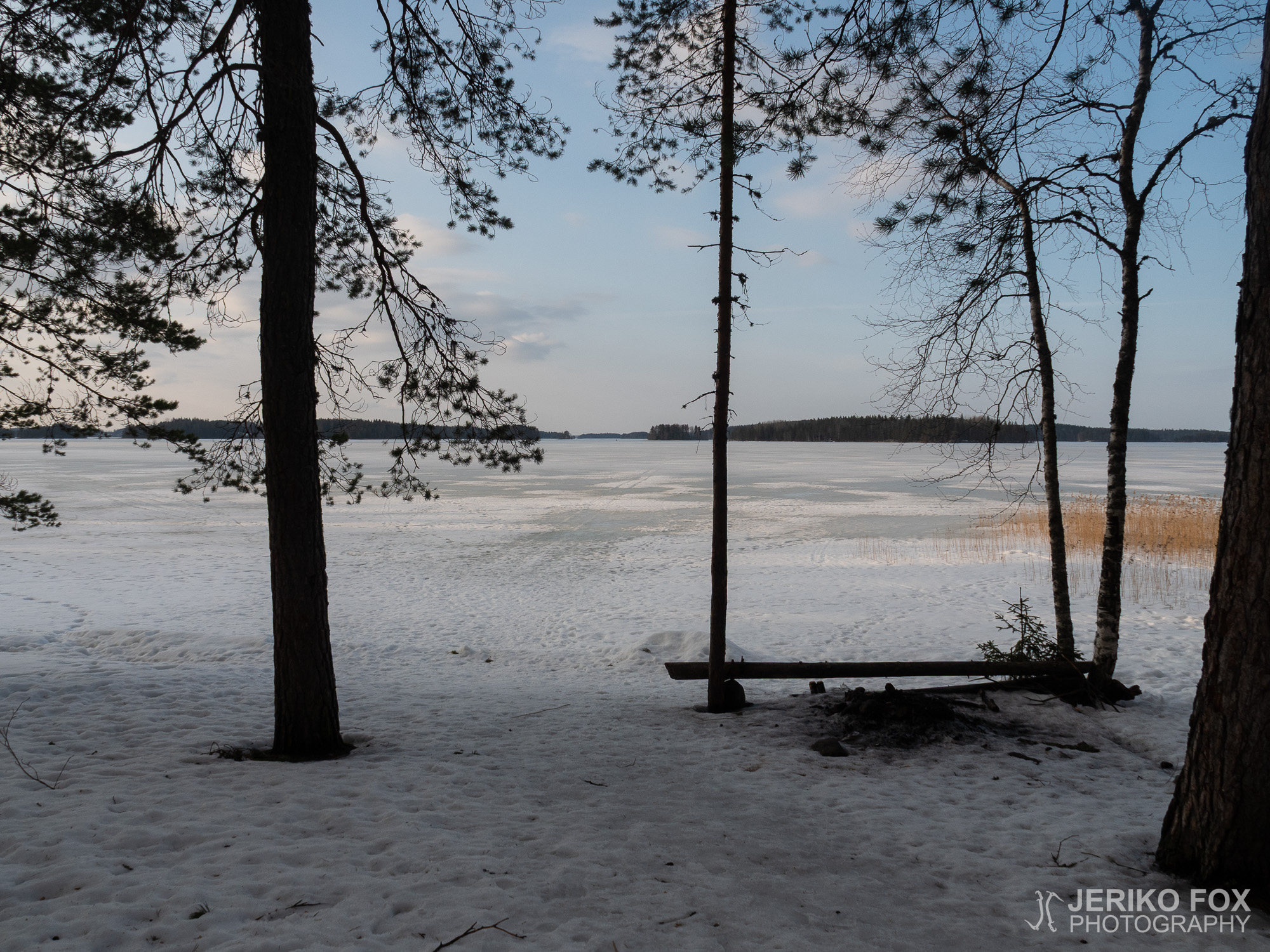
Lahnajärvi Trail
Lemi is located in Southern Karelia, northwest from Lappeenranta, and the main village sits on...
Lemi is located in Southern Karelia, northwest from Lappeenranta, and the main village sits on...
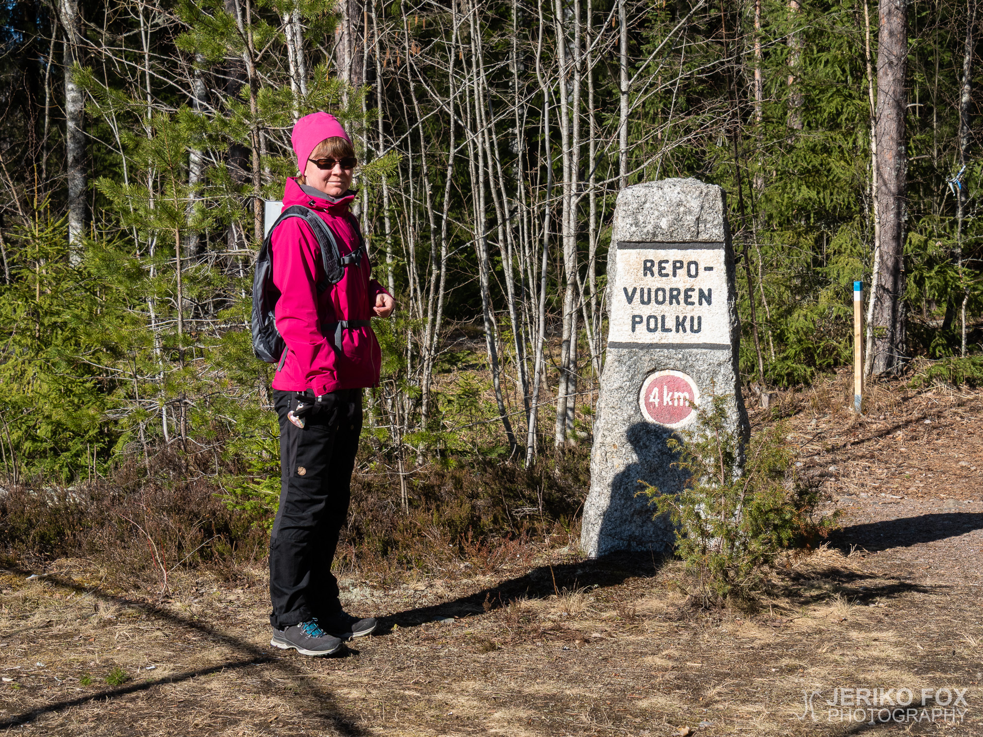
In the Lemi area there are quite a few hiking destinations and two of them...
In Imatra, nearby the River Vuoksi, there are quite a few nature trails of different...
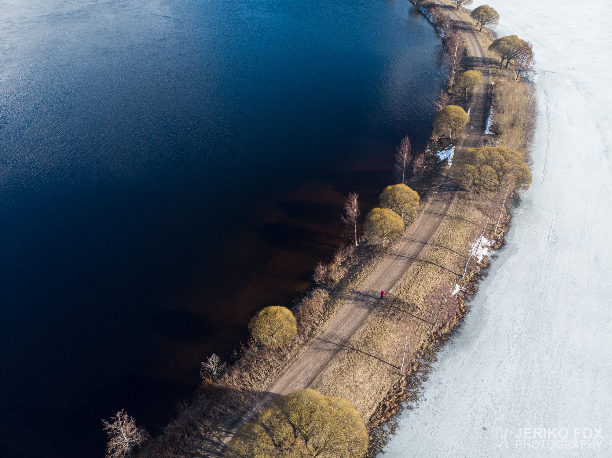
As the number of sunny days keeps increasing, so does my excitement about hiking. Although...
I have on my agenda to roam through the nature trails and hiking trails nearby,...
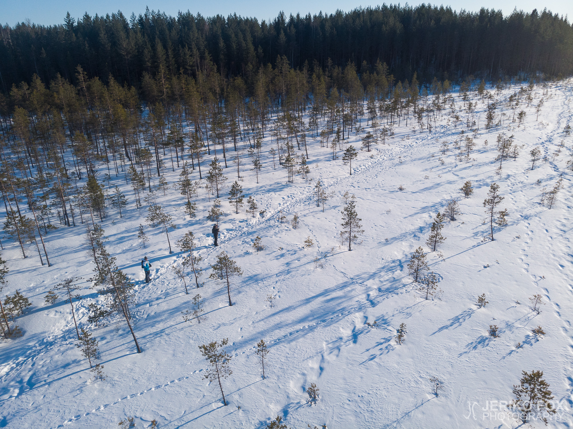
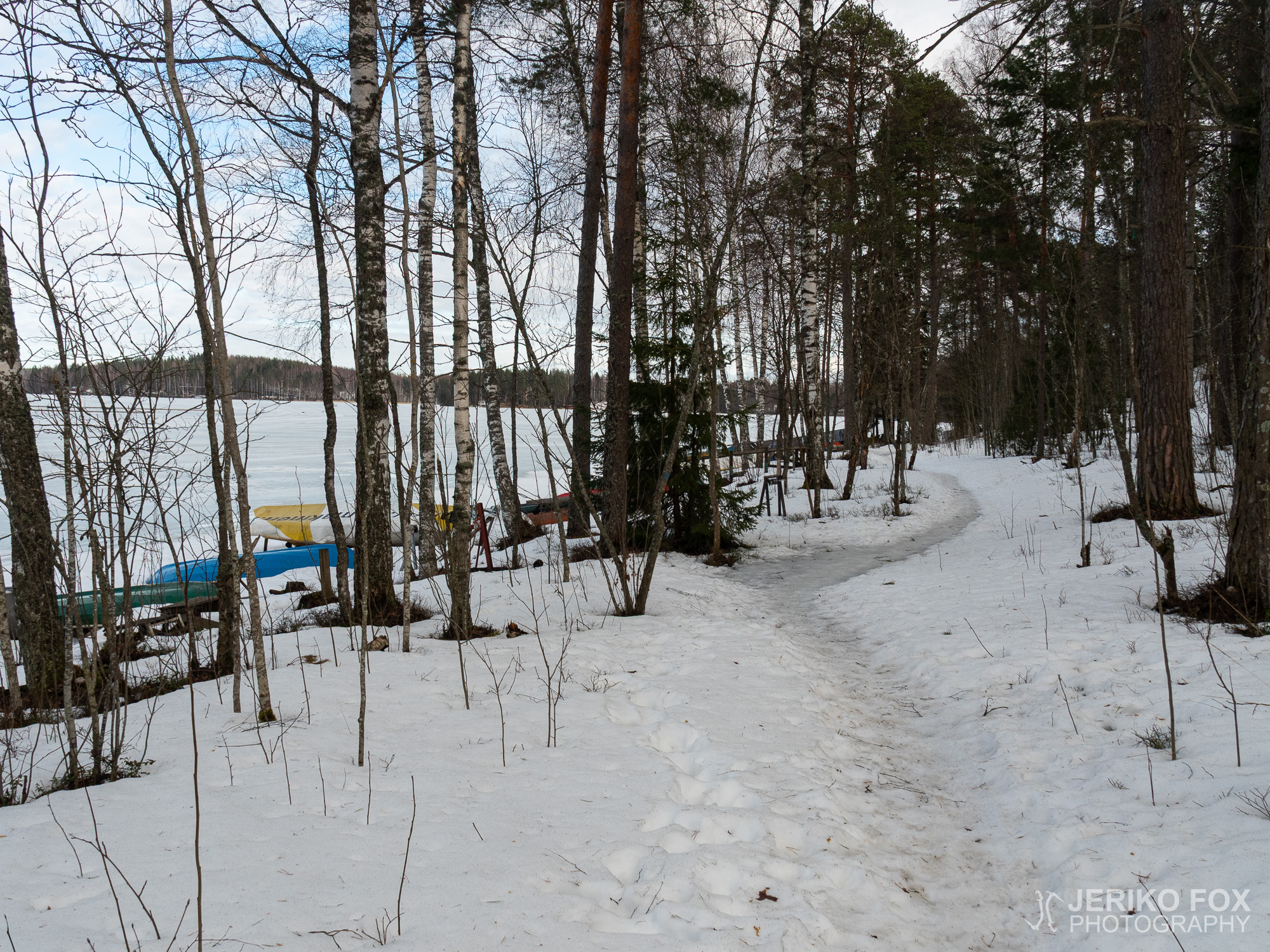
The early spring has offered nice weathers and sunshine this year. Unfortunately I have had...