

Elevation: 2340 m
Prominence: 1233 m
Location: Lermoos, Tyrol, Austria
Range: Ammergau Alps
Climb
Fox and Dima Tsvetkov
23.07.2013
8 h 26 min
Ascent and descent hiking
Ehrwald (1024 m), Tuftlalm (1496 m), Grüner Ups (1852 m), Upsspitze (2332 m), Daniel (2340 m)
Daniel (2340 m), Tuftlalm (1496 m), Lermoos (1062 m)
Kompass – Wanderführer: Rund um die Zugspitze (Garmisch-Partenkirchen)
Semi-rigid boots, casual wear, hard shell jacket, trekking poles
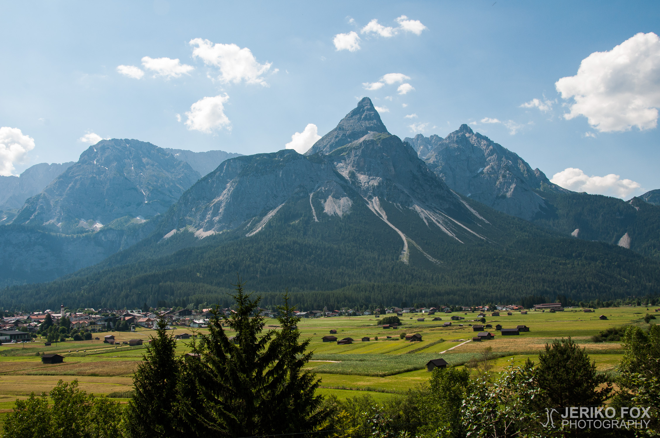
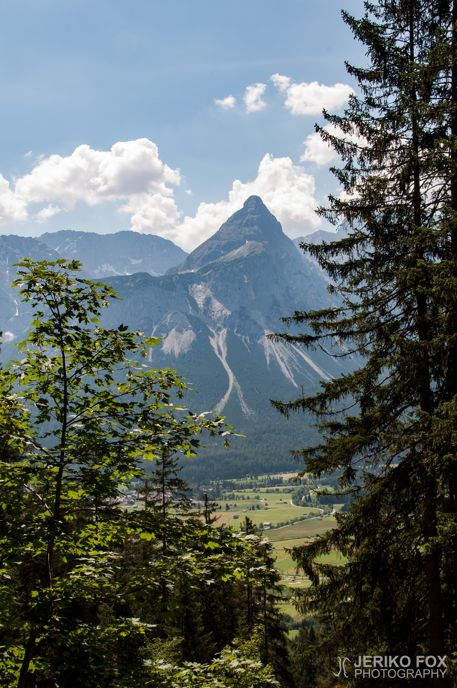
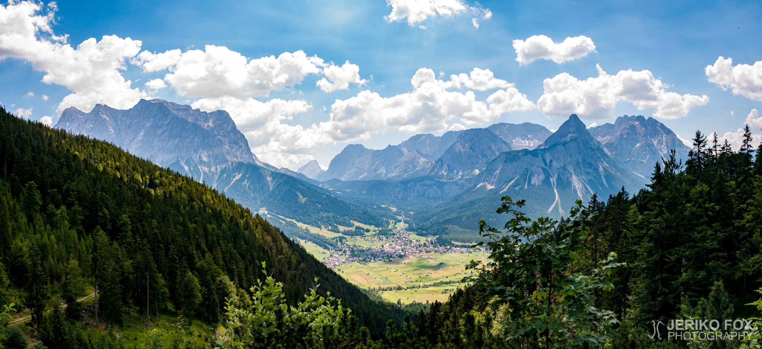
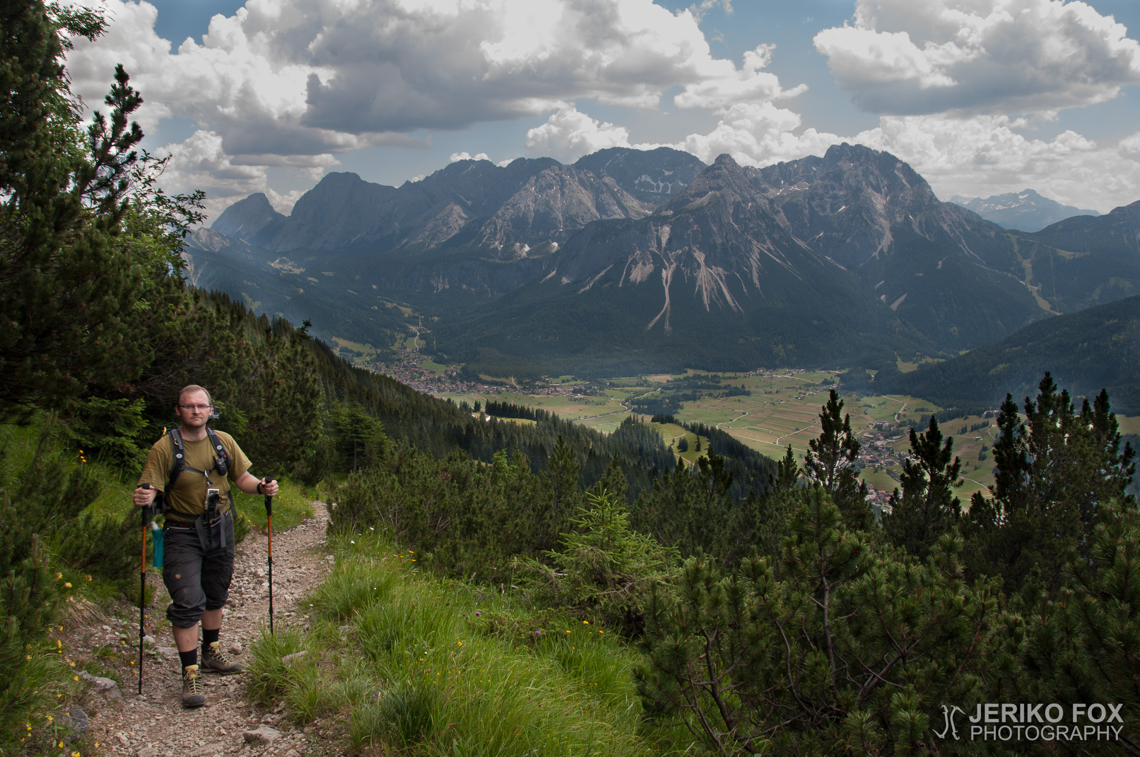
Due to the ever-changing weather forecasts, we had to fine-tune our plans and consider where it would be sensible to hike under a potential thunderstorm threat. We eventually settled on Daniel, a striking peak in Austria that, on a clear day, stands out beautifully from Garmisch-Partenkirchen. It’s more of a hiking mountain than a climbing one, but the terrain is still far from easy.
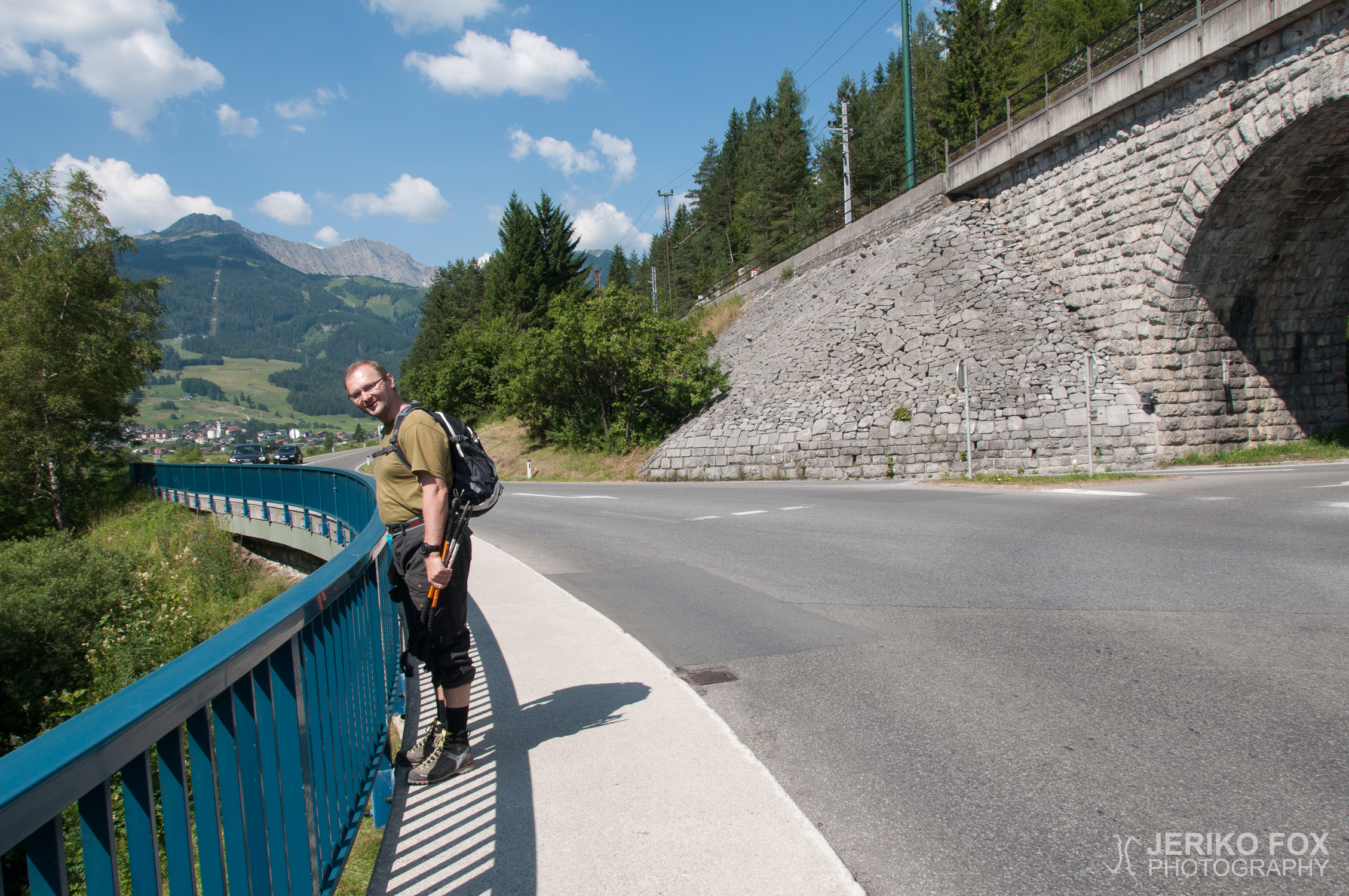
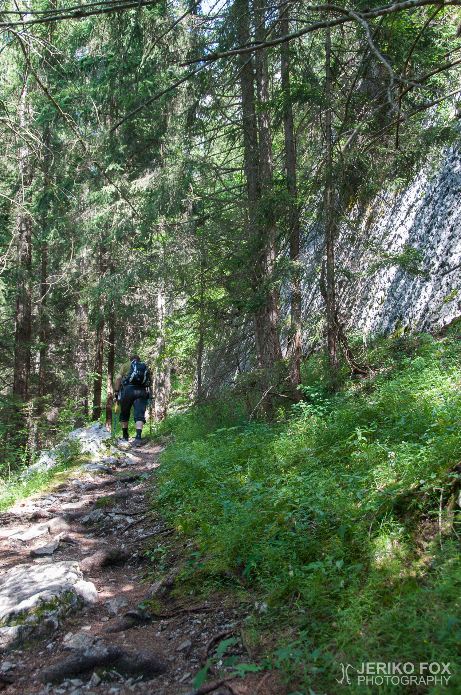
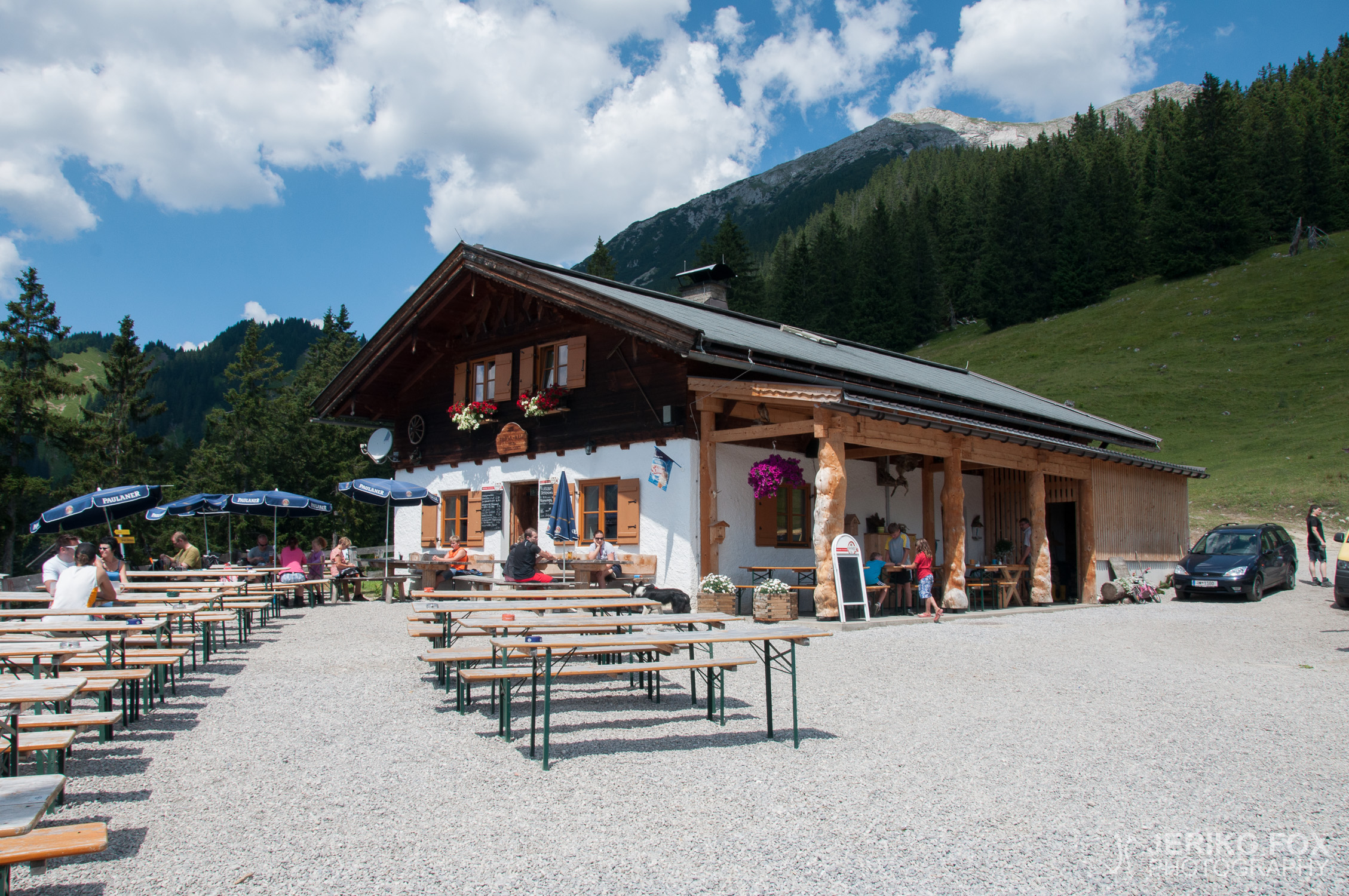
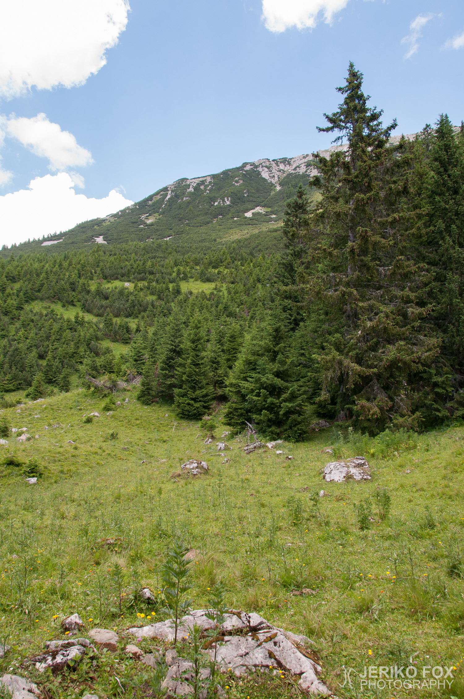
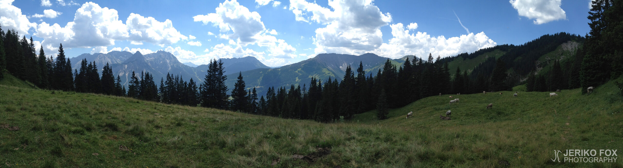
We took a train to Ehrwald in the late morning (a ticket from the machine would have been 5,70 €, but from the reluctant conductor, it cost 7,70 €) and set off at 10:45, following the trails towards our first checkpoint, Tuftlalm (1496 m, 4908 ft). We took a quick water break there and refilled our bottles. From Tuftlalm, there are two routes to the summit, and we opted for the path via Grüner Ups (1852 m, 6076 ft), a grassy ridge before the climb gets rockier. Up to this point, trekking poles had been more of a luxury than a necessity, but as we started ascending a steep, gravel-covered slope, they became invaluable. Every step had to be carefully placed, and walking too close together was out of the question – anyone above was bound to send a cascade of loose rocks down to those below.
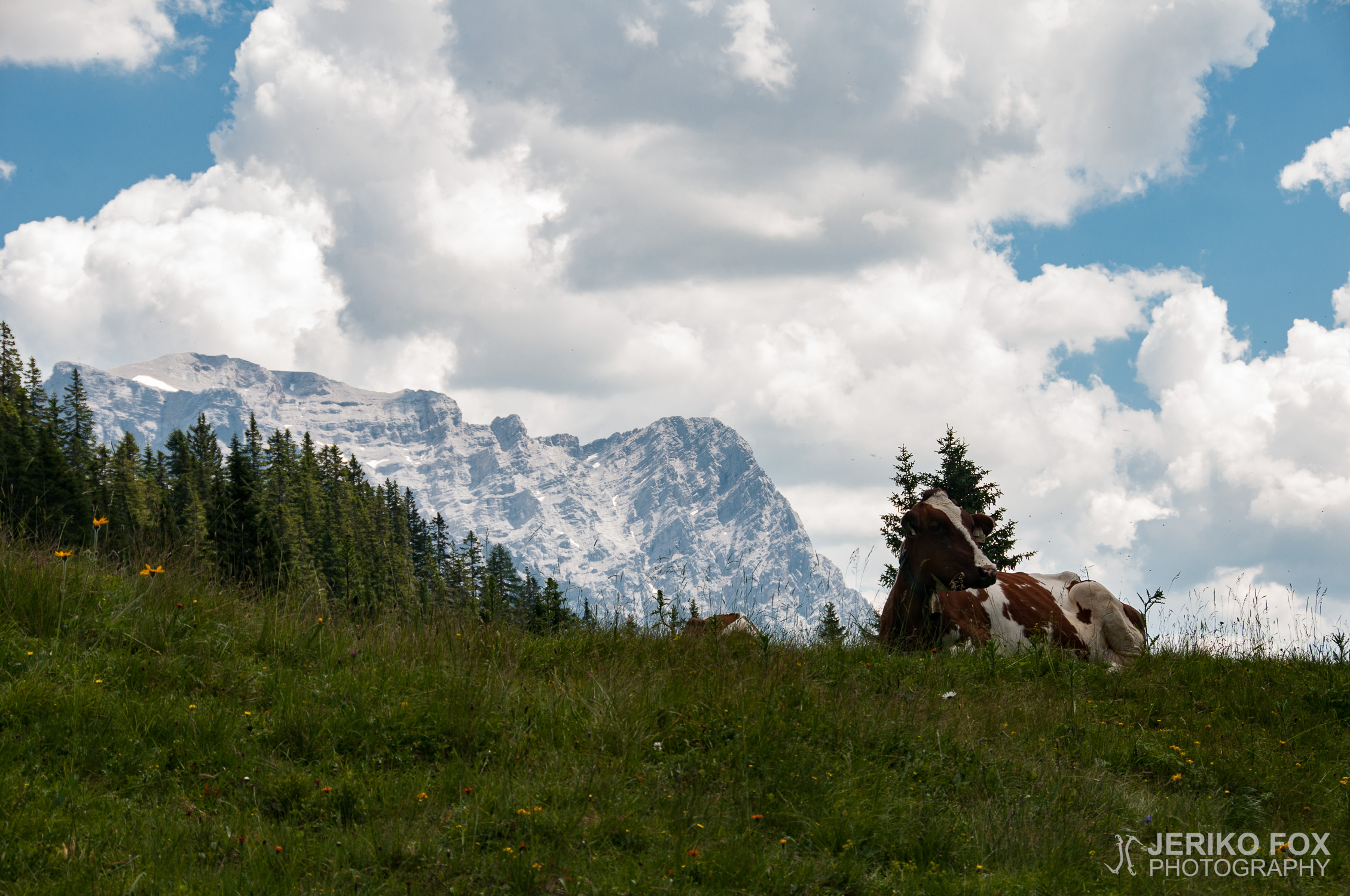
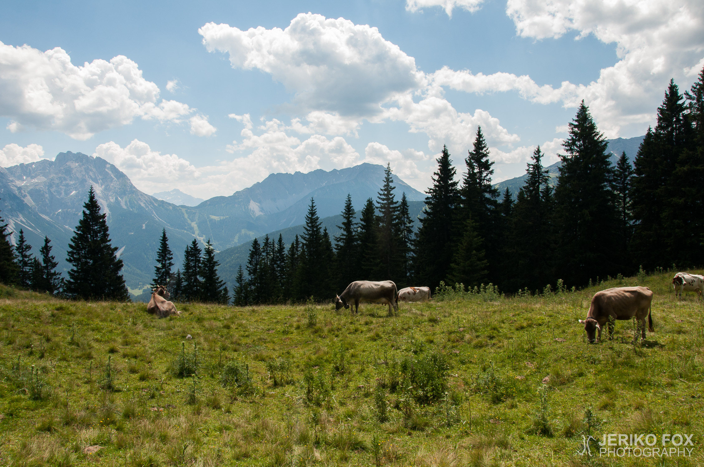
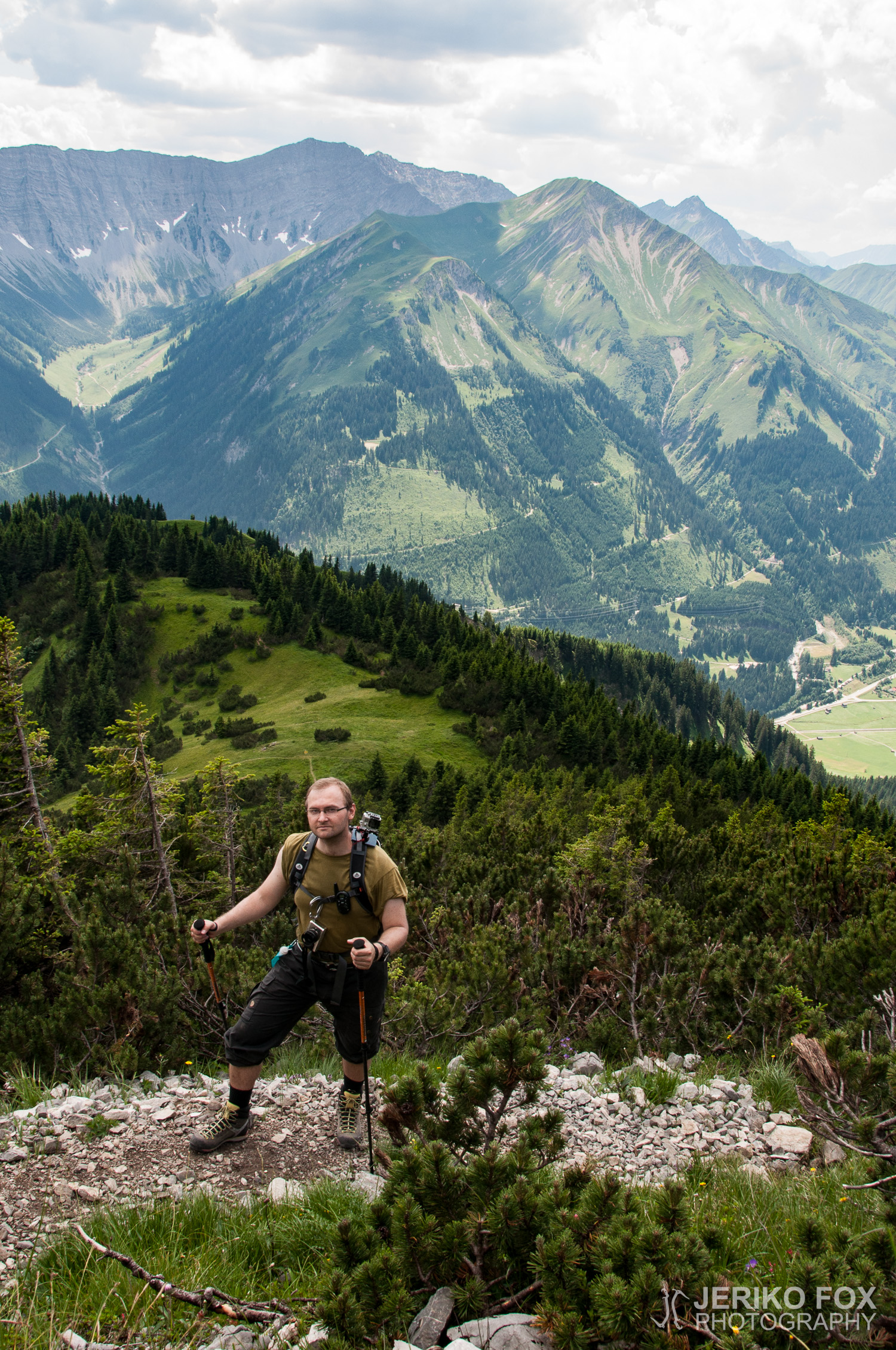
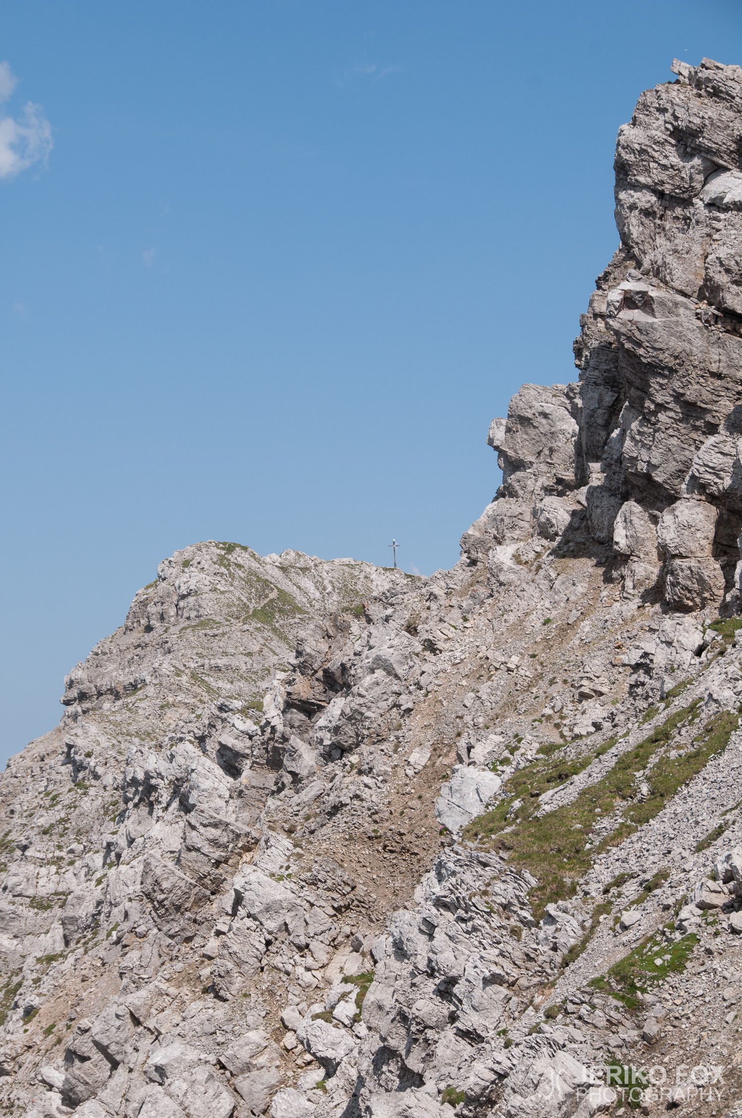
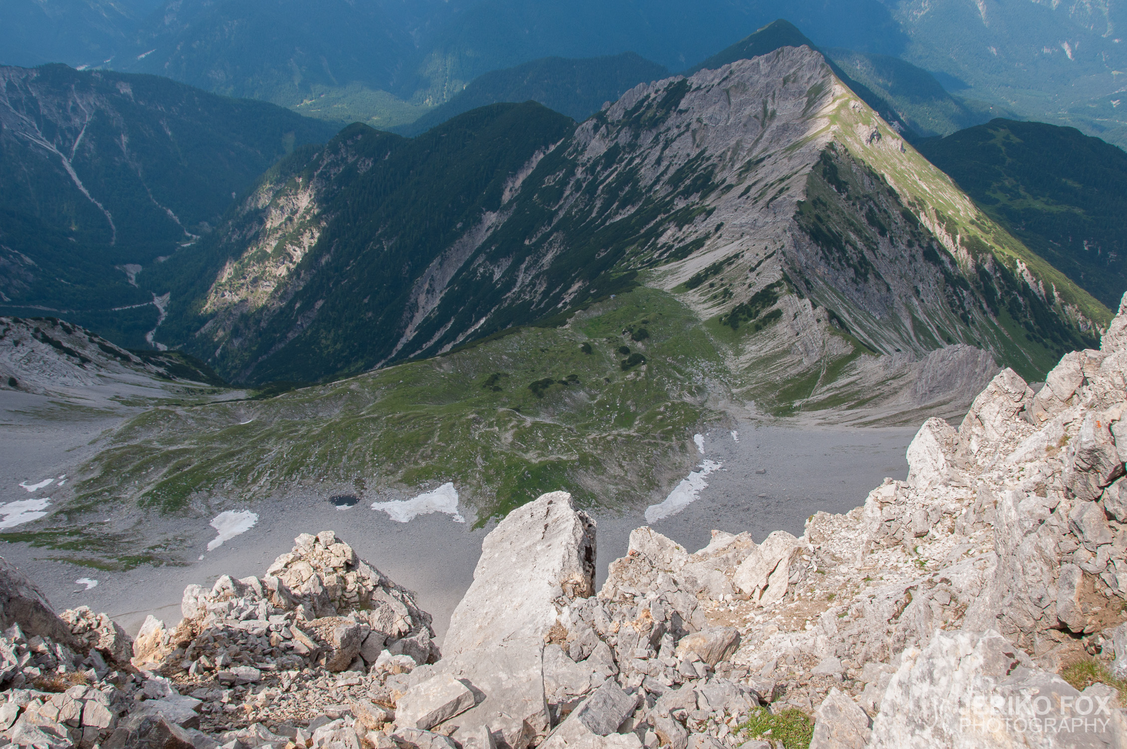
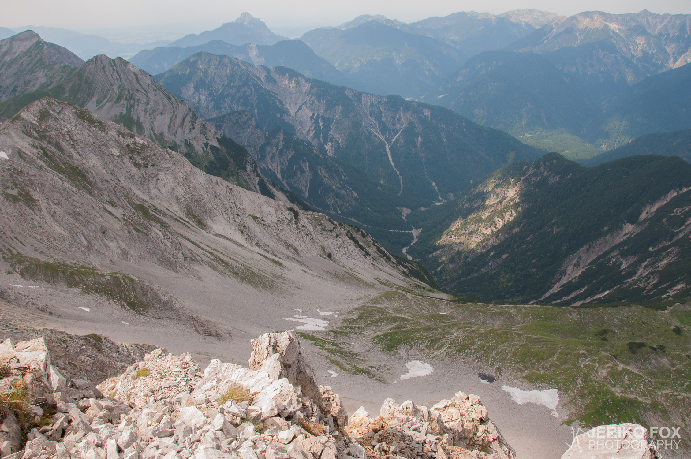
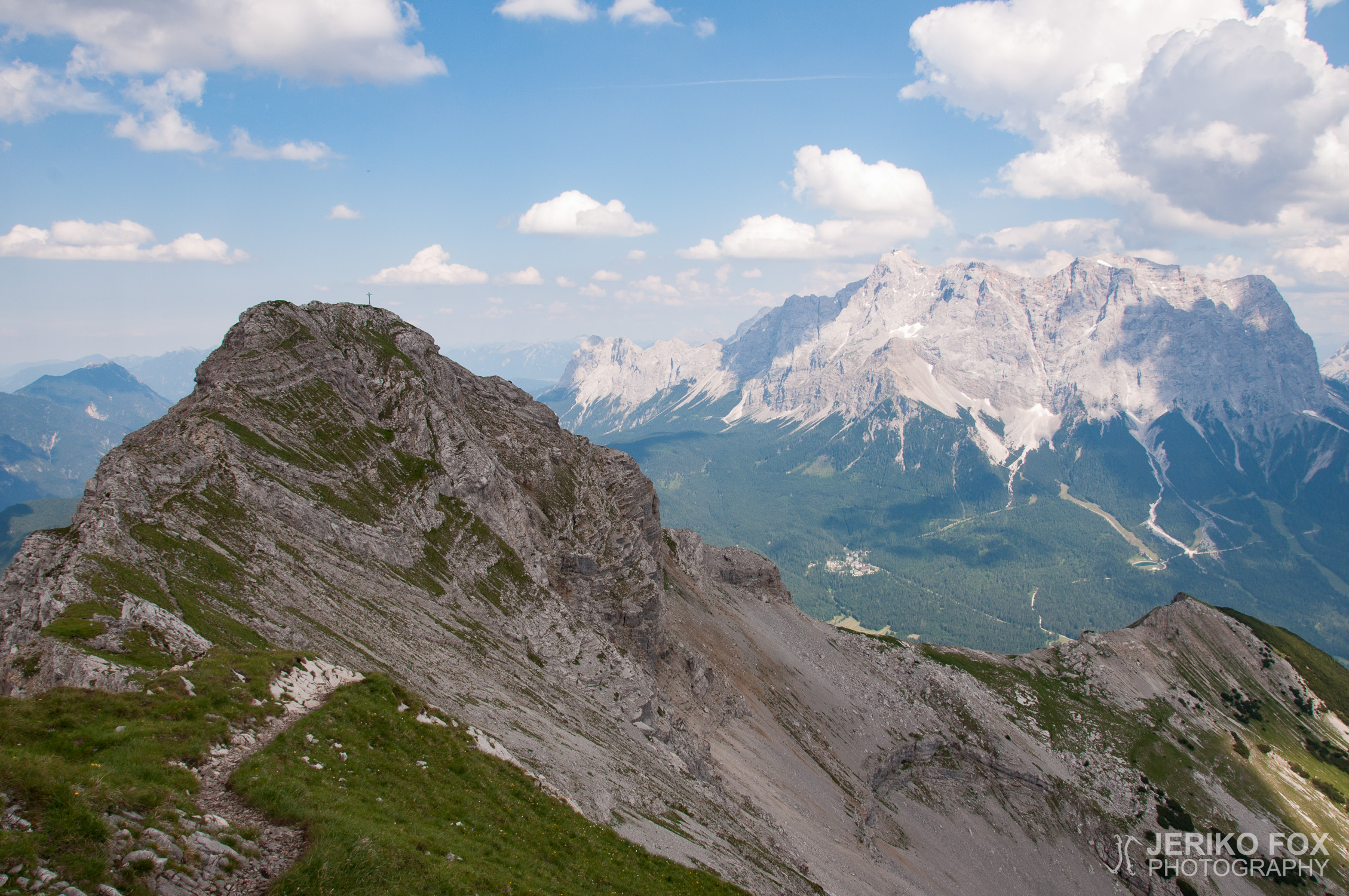
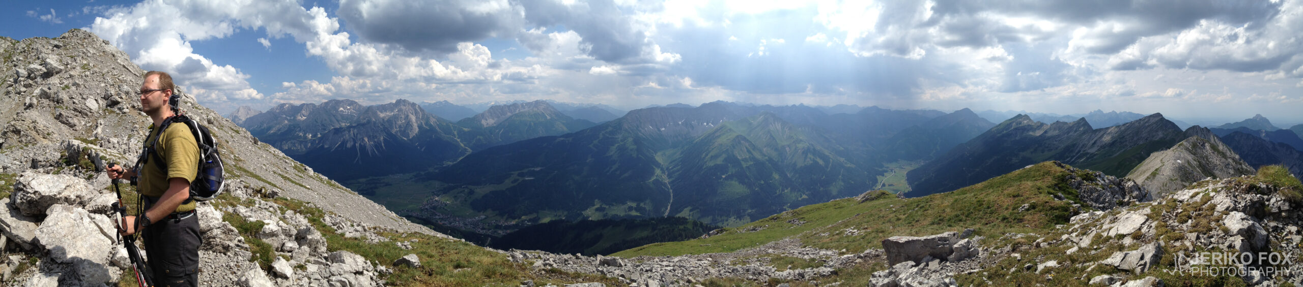
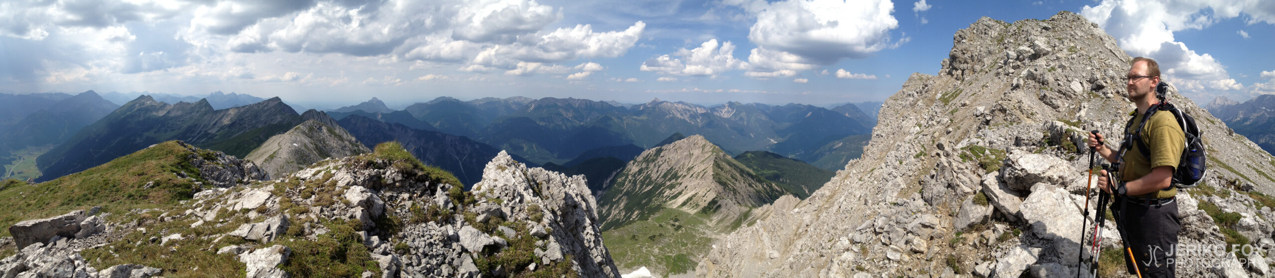
After a strenuous climb, we reached the ridge leading to Upspitze (2332 m, 7650 ft), and the views more than made up for the effort. Even lower down, glimpses of the Zugspitze massif and the Mieminger Kette had been impressive, but once on the ridge, we could finally see north as well. The summit cross loomed beyond Upspitze, making the ridge walk feel all the more rewarding. On both sides, steep drop-offs opened up into breathtaking vistas.
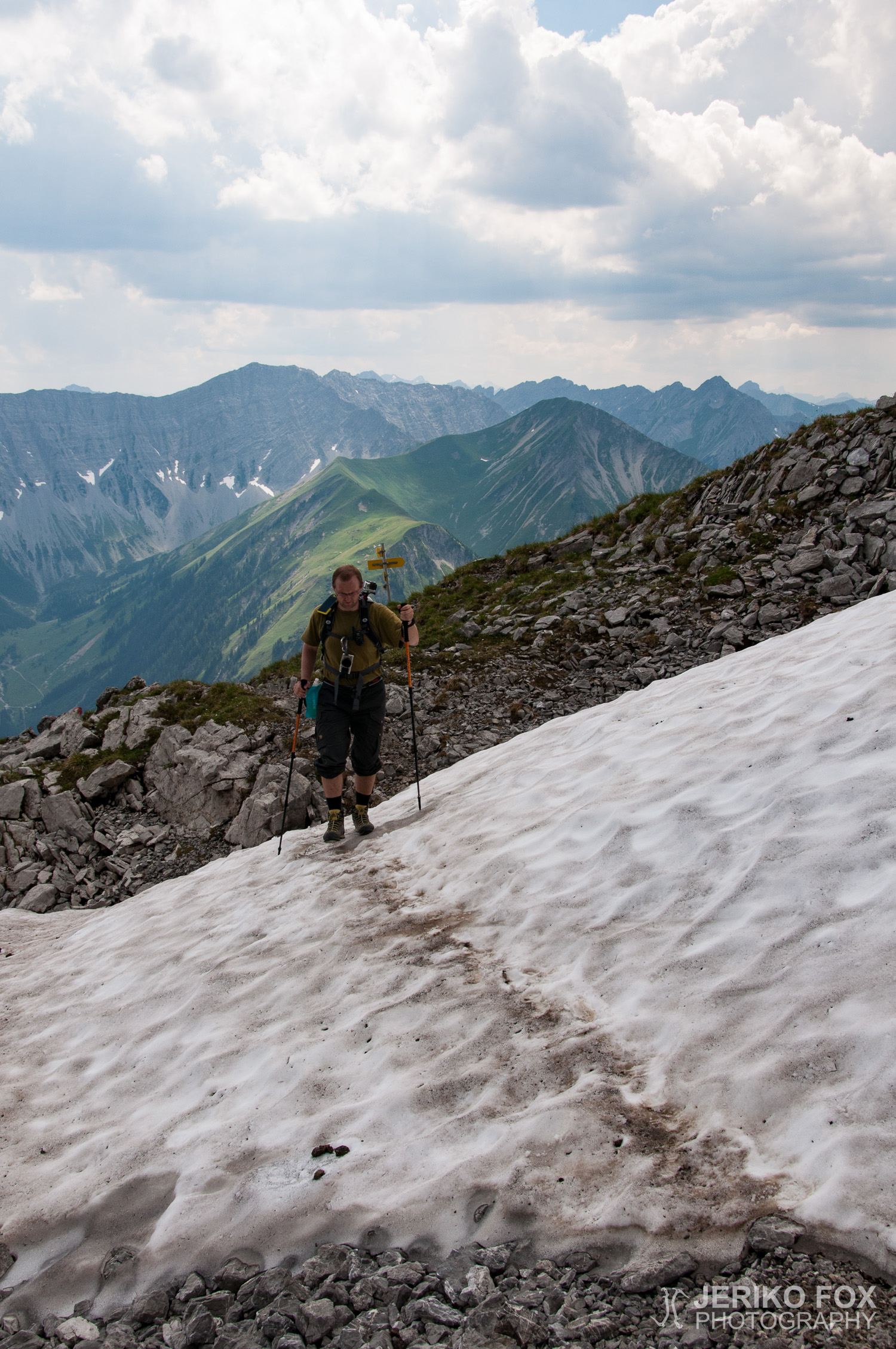
We reached Daniel’s small summit at 16:04. As with Alpspitze and many other peaks, the summit cross is actually positioned slightly lower – essentially on the mountain’s ‘front edge,’ where it’s more visible to the villages below. We managed to snap a few photos before something started pattering down from the cloud swirling above us. Large raindrops and small hailstones. Luckily, the shower was brief and light, because a hailstorm on a mountain summit – or even just rain – would have been more than just uncomfortable; it could have made descending significantly more dangerous.
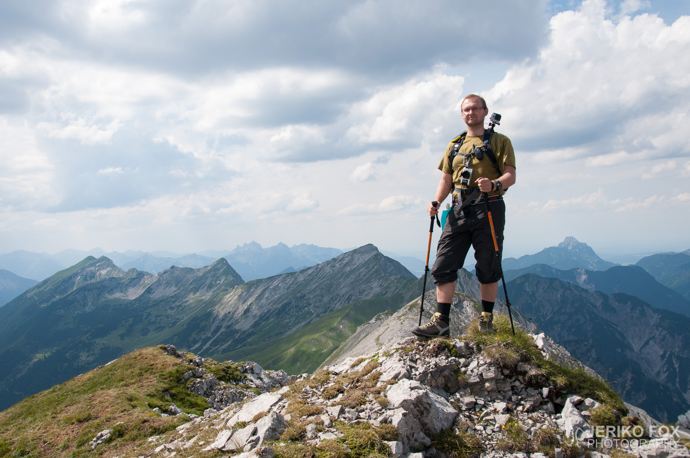
We had already considered descending to Lermoos instead of Ehrwald to mix things up for the return journey. By the time we were at the summit, it was clear that we’d have to keep a brisk pace to catch the last train. We started descending past Upspitze along the ridge, and this route proved to be a far better choice for the way down than the one we had climbed up. There were still some sections with loose rock, but nowhere near as tricky as the ascent. Once we reached firmer ground, we pushed on with steady determination. At Tuftlalm, we turned towards Lermoos, our knees burning as we made our way through the forest.
By just after seven, we emerged by the railway tracks in Lermoos and briefly debated which direction the station might be in. A short walk along the tracks towards Bichlbach led us to the minuscule Lermoos station, where two other men were also waiting for the train.
We had about twenty minutes to sit and unwind before catching the last train of the evening back to our ‘base camp’ in Garmisch-Partenkirchen. The same reluctant conductor was on duty, muttering something unintelligible as he passed by, but this time he didn’t bother selling us tickets at all. So, our return journey ended up being free.

Vaihtelevien sääennusteiden vuoksi jouduimme hienosäätämään suunnitelmiamme ja pohdimme minne olisi järkevä lähteä mahdollisen ukkosuhan alla. Valitsimme lopulta kohteeksi Itävallan puolella sijaitsevan Danielin, jonka komea profiili näkyy hyvällä säällä hienosti Garmisch-Partenkircheniin. Kyseessä on enemmänkin vaeltaen kuin kiipeillen mentävä vuori, mutta maasto on silti haastavaa.
Ajoimme aamupäivällä junalla Ehrwaldiin (lippu olisi maksanut automaatista 5,70 €, vastahakoiselta konnarilta se maksoi 7,70 €) ja lähdimme 10:45 nousemaan polkuja pitkin ensimmäiselle etapille kohti Tuftlalmia (1496 m). Pidimme siellä juomatauon ja täytimme pullot. Huipulle pääsee Tuftlalmilta kahta reittiä ja otimme suunnan kohti Grüner Upsia (1852 m), joka on ruohoinen mäenharjanne ennen nousua kivikkoisemmalle maaperälle. Tähän asti kävelysauvat olivat lähinnä olleet mukava lisä, mutta noustessamme jyrkkää pienten irtokivien peittämää rinnettä, tulivat sauvat todella tarpeeseen. Jokainen askel täytyy ottaa harkiten ja peräkkäin ei voi kulkea, koska yläpuolella menevä tiputtaa kiviä alapuolella olevan päälle.
Työlään nousun jälkeen tullessamme Upspitzelle (2332 m) johtavalle harjanteelle näköalat kuitenkin osoittautuivat todella palkitseviksi. Jo alempaa rinteellä avautui hetkittäin hienoja näkymiä Zugspitzen massiivin ja Mieminger Ketten suuntaan, mutta harjanteelle päästyämme näimme myös pohjoisen puolelle. Huippuristi häämötti jo Upspitzen takana ja se teki harjanteella liikkumisesta mielekästä. Molemmin puolin avautui milloin enemmän tai vähemmän jyrkkä rotko, joten näköala oli upea molempiin suuntiin.
Nousimme Danielin pienelle huipulle 16:04. Kuten Alpspitzellä ja monella muullakin vuorella, huippuristi on itseasiassa hieman matalammalla – tavallaan vuoren etureunalla, josta se näkyy paremmin alhaalla oleviin kyliin. Ehdimme ottaa pari valokuvaa, kun yllämme pyörineestä pilvestä alkoi kopsahdella jotain alas. Isoja vesipisaroita ja pienehköjä rakeita. Onneksi sade oli hyvin harvaa ja sitä kesti vain pienen hetken, koska raekuuro vuoren huipulla ja vesisade ovat epämiellyttävyyden lisäksi merkittäviä vaaratekijöitä laskeutumista ajatellen.
Olimme jo aiemmin suunnitelleet, että voisimme laskeutua Ehrwaldin sijaan Lermoosiin saadaksemme vaihtelua paluumatkalle. Huipulla ollessamme oli selvää, että ehtiäksemme viimeiseen junaan olisi pidettävä yllä hyvää vauhtia. Lähdimme tulemaan Upspitzen ohitse harjannetta alas ja tämä reittivalinta oli varmasti huomattavan paljon parempi laskeutumiseen kuin reitti jota olimme nousseet. Myös harjanteella oli irtiokivialueita, mutta ne eivät olleet yhtä vaikeakulkuisia kuin nousureitillä. Päästyämme kiinteämpään maastoon matka eteni tasaisen tarmokkaasti kohti alamäkeä ja kuljimme lähes pysähtymättä. Tuftlalmilta käännyimme Lermoosin suuntaan ja kuumottelevin polvin jatkoimme metsän keskellä.
Kello oli hieman yli seitsemän kun tulimme radan varteen Lermoosissa ja hetken pohdimme kummassa suunnassa asema olisi. Pienen matkan radan vartta Bichlbachin suuntaan käveltyämme löysimme tunnelin suulla olevan mitättömän kokoisen Lermoosin juna-aseman, jolla kaksi muuta miestä odotteli myös junaa.
Parikymmentä minuuttia ehdimme istuskella odottamassa illan viimeistä junaa, jolla ajoimme takaisin “perusleiriin” Garmisch-Partenkircheniin. Junassa oli sama vastentahtoinen konnari, joka höpisi ohimennessään jotain epäselvää eikä myynyt meille lippuja ollenkaan. Paluumatkasta tuli siten ilmainen.
Route map
Max elevation: 2342 m
Total time: 08:24:55