
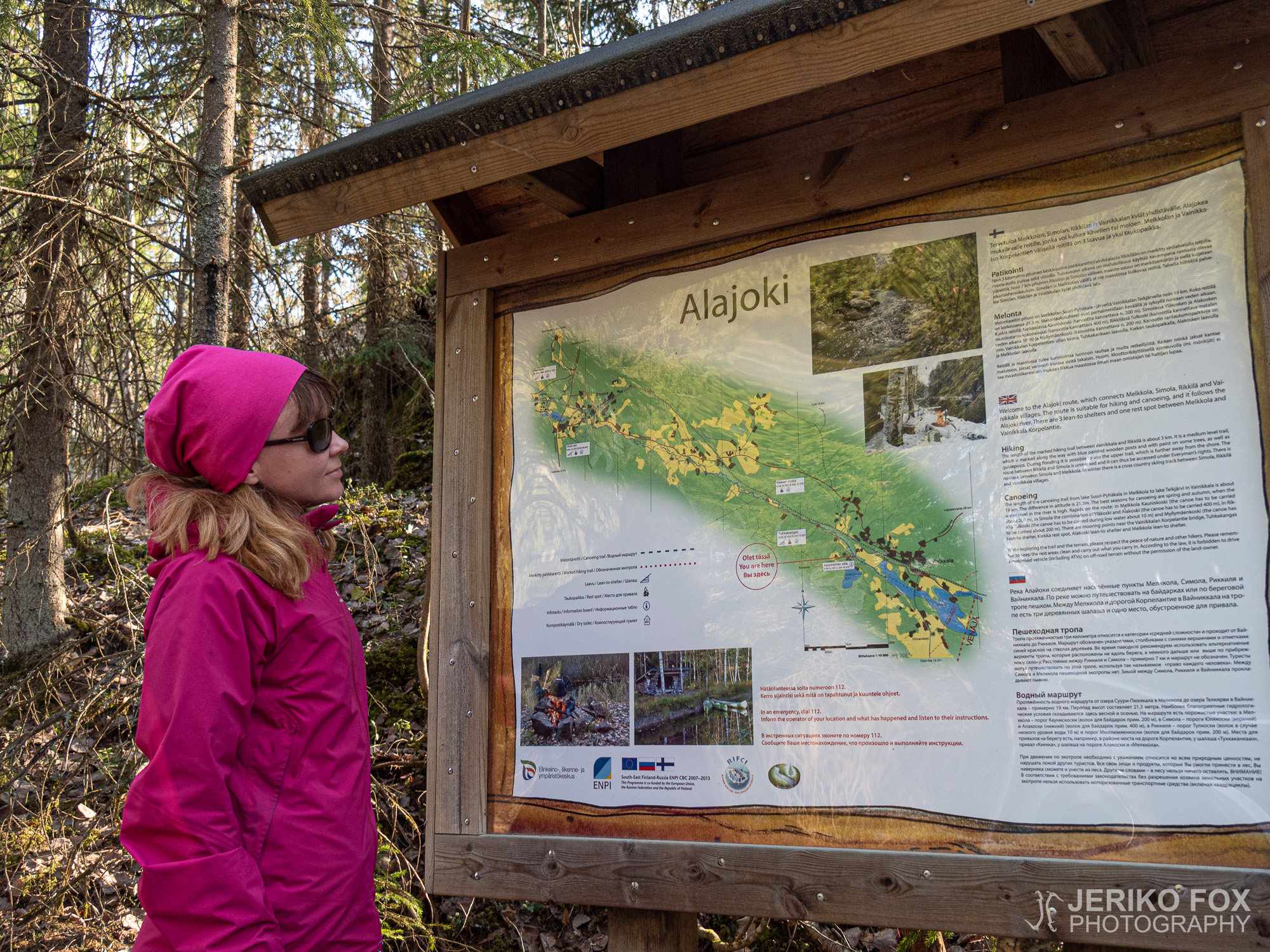
Couple of years ago I had been checking the Alajoki (lit. down river) canoeing route from the map, but wasn’t aware that along the river runs also a hiking trail. Now as I was searching for new less crowded hiking destinations, I happened to find the Alajoki Trail.
The corona virus pandemic started to affect Finland in the end of March and in April there was already significant restrictions set by the government. Outdoor activities in small groups were still allowed and this has made hiking more popular quite fast. In my personal life the dance teaching had gone to distance learning mode and hospital work also its own kind of state of emergency.
The south-east end of the Alajoki Trail is near Vainikkala and that is where you should approach the trail. There is not an actual parking lot at the trail head, but the narrow dirt road (Korpelantie) has a wider section where fits 2-3 cars and few more to the intersection nearby.
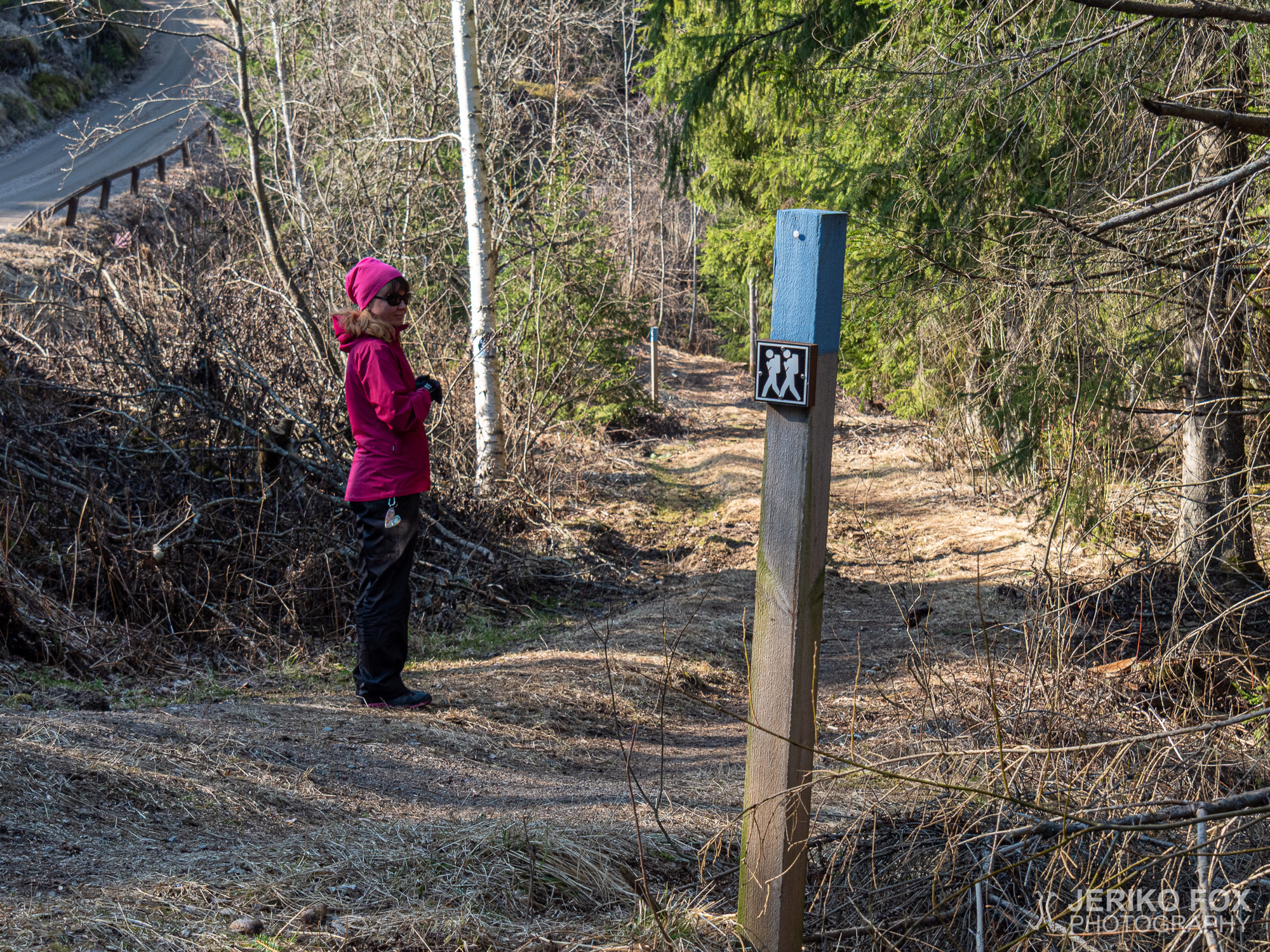
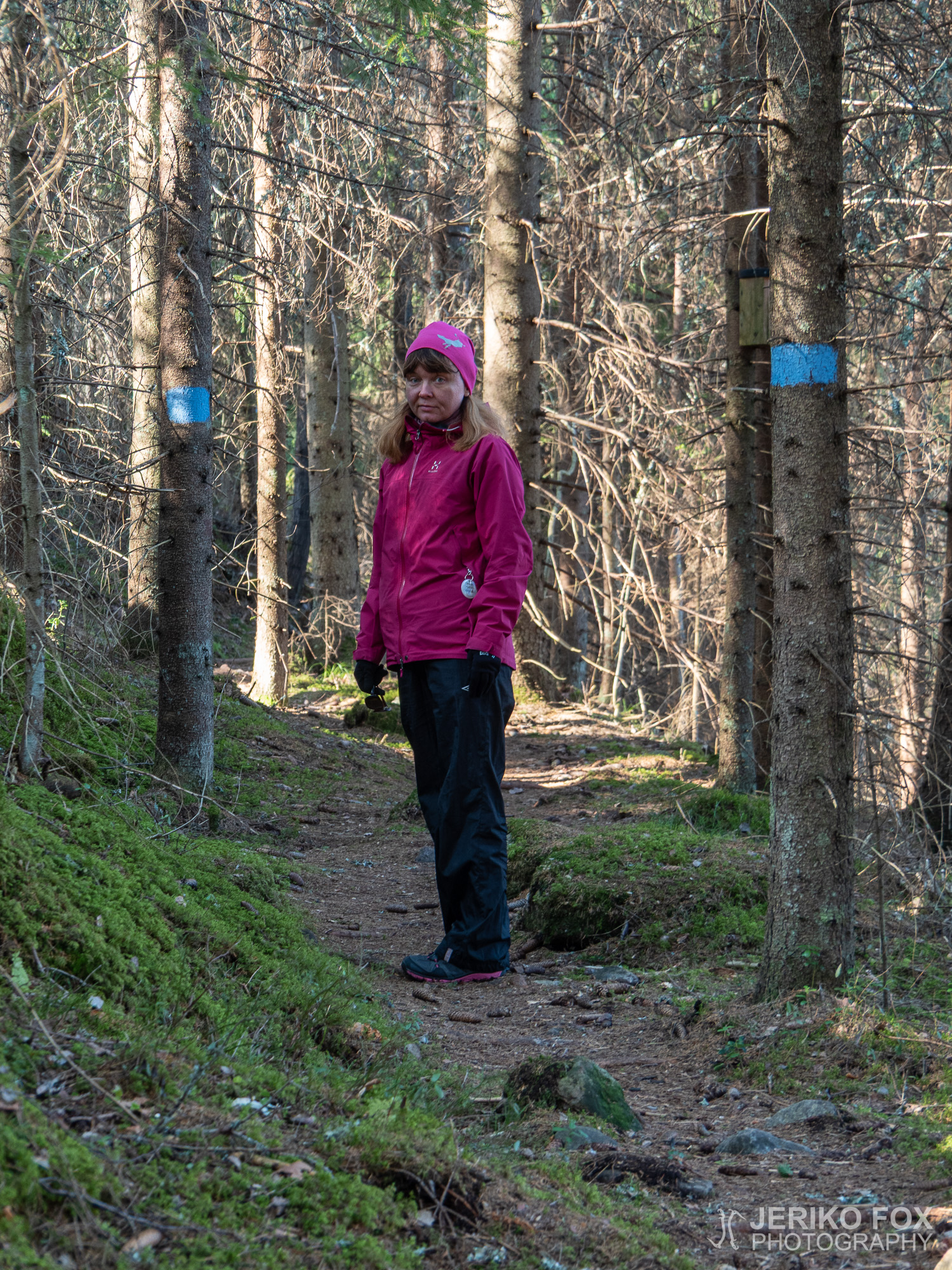
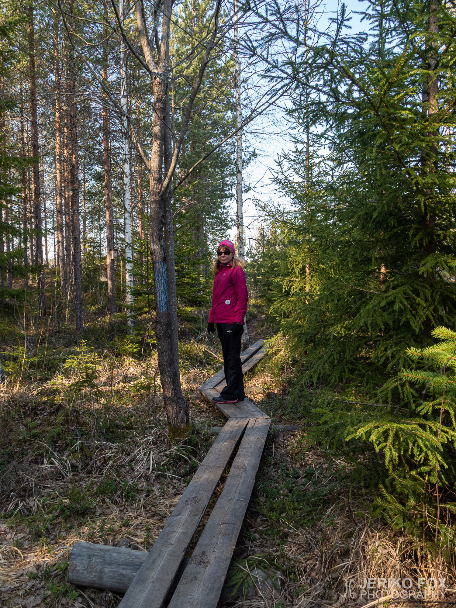
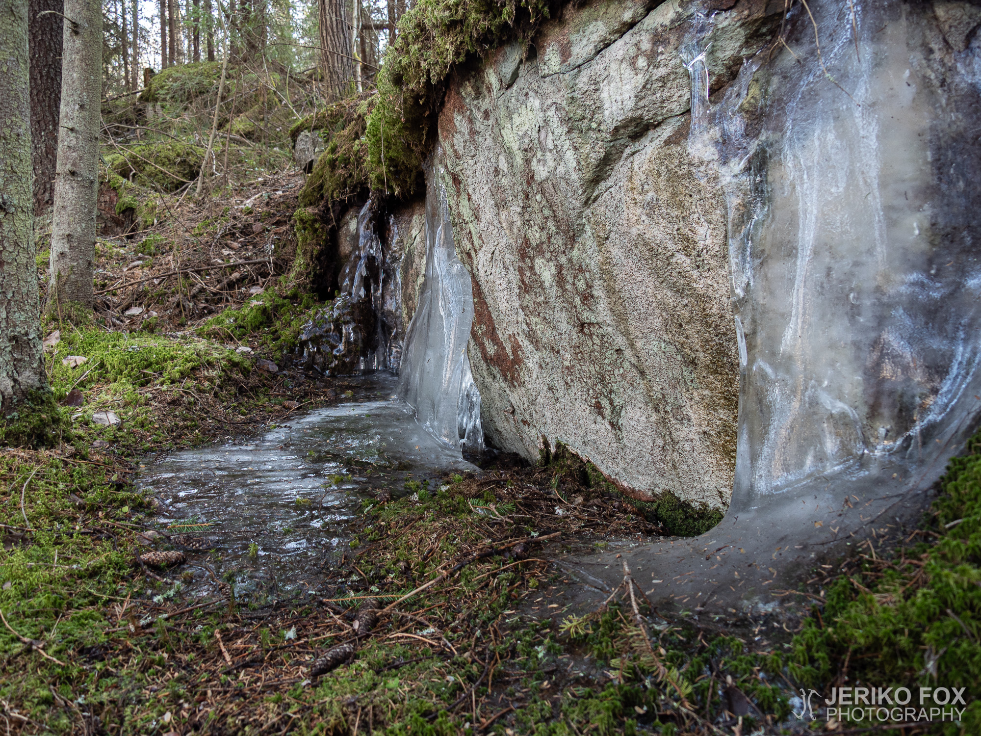
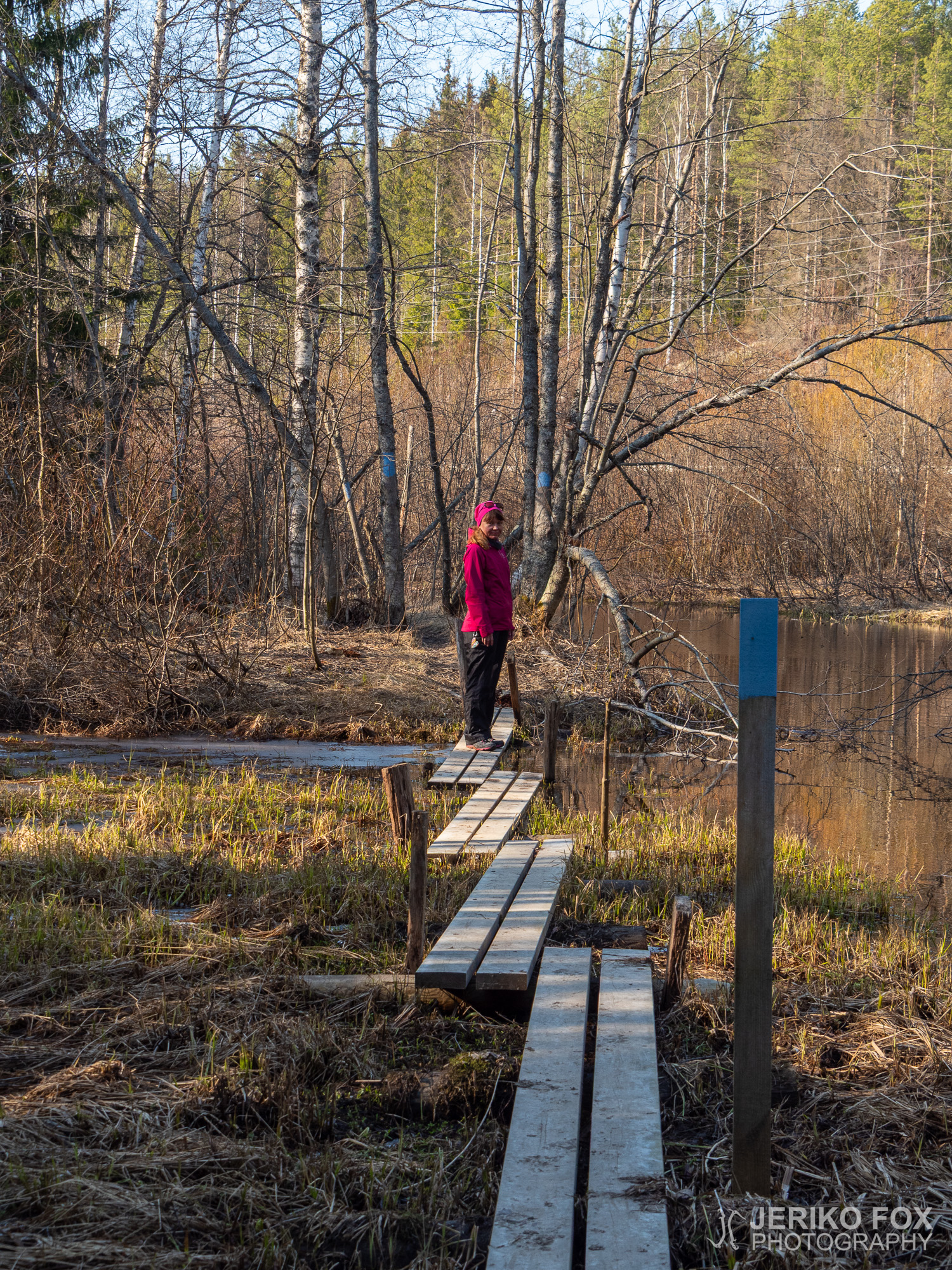
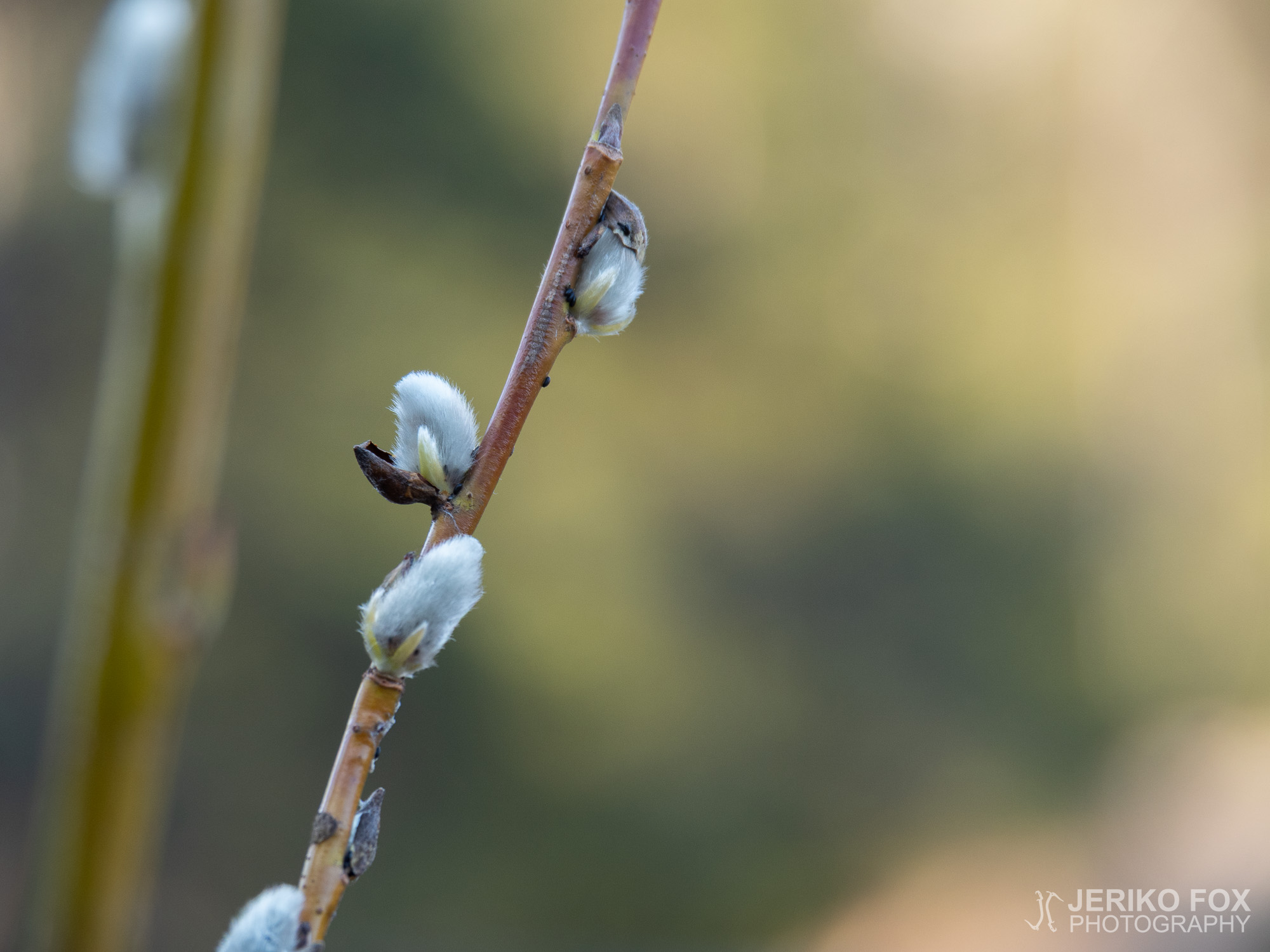
The route is marked with blue blazes and it’s very easy to follow. The terrain is variable, but not exceptionally difficult anywhere. Few sections of the trail are split to upper and lower routes – where the lower one is partially closed early in spring due flooding. The trail is 3 km (1.9 mi) one way and 6 km (3.7 mi) with return.
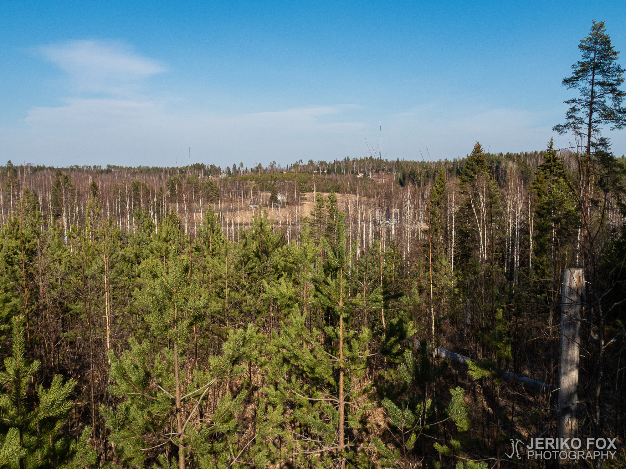
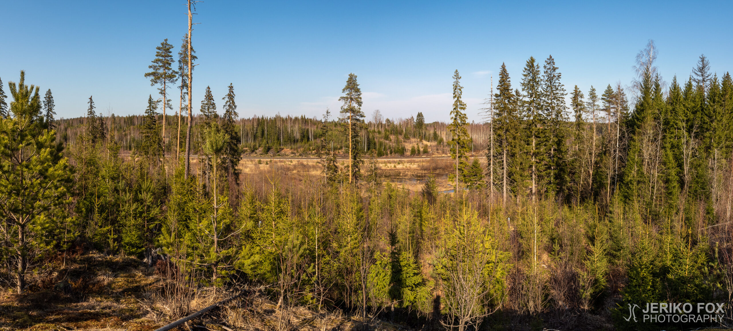
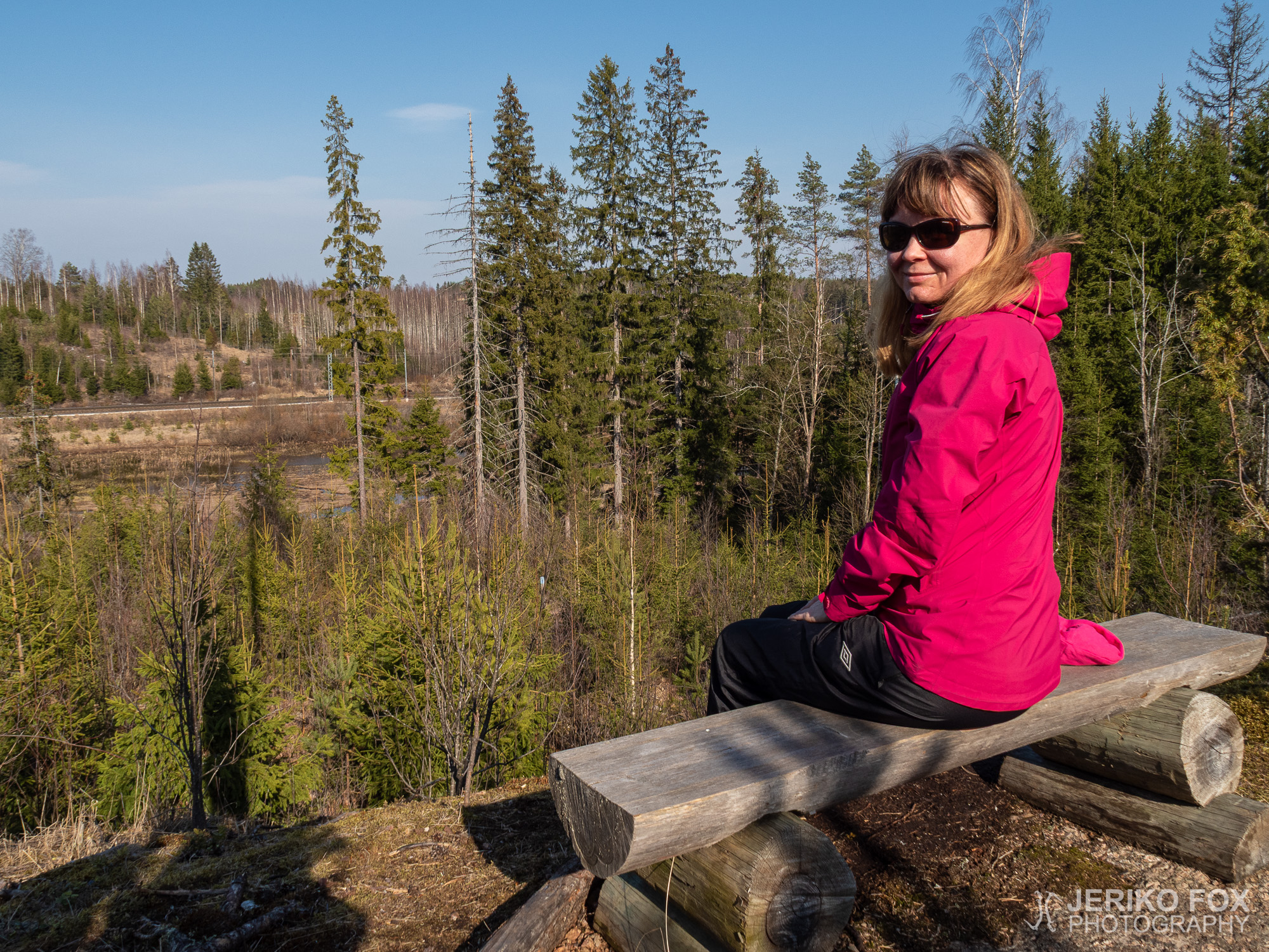
Before the halfway the trail leads up to a small hill from where there is a view over the wetlands and the railroad that leads to Russia. Despite of the pandemic there were trains passing by every now and then. There is also a bench where one can sit trainspotting.
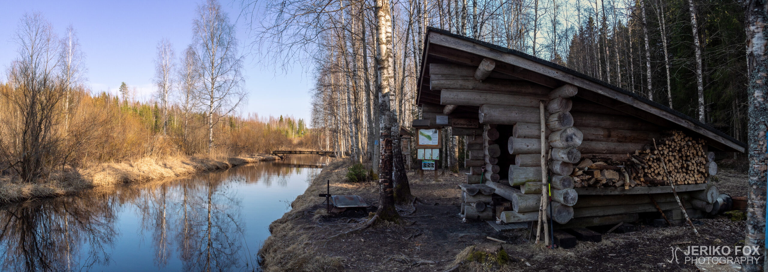
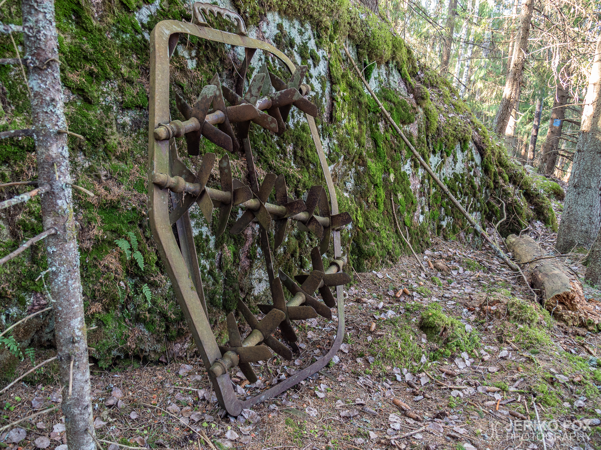
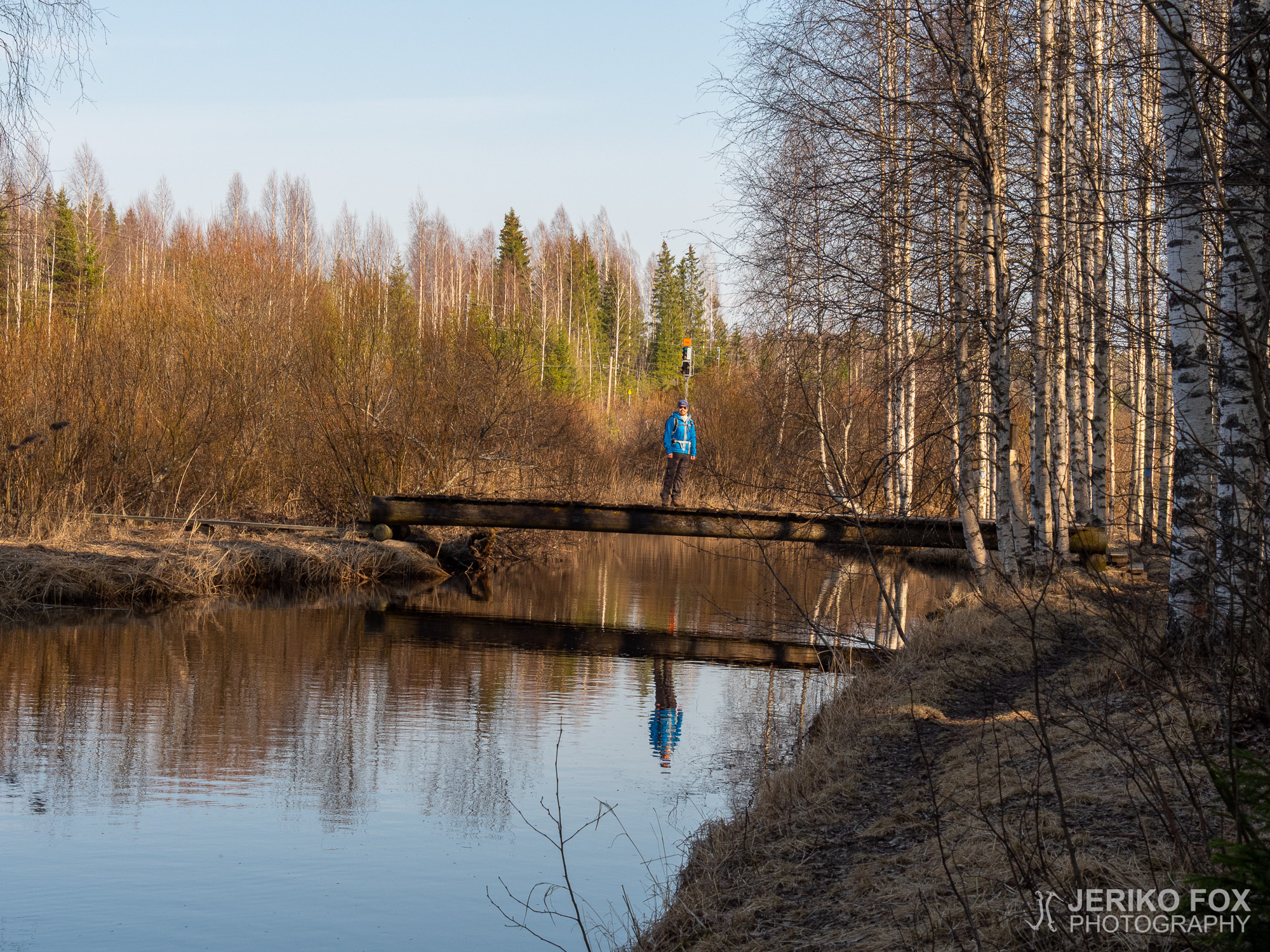
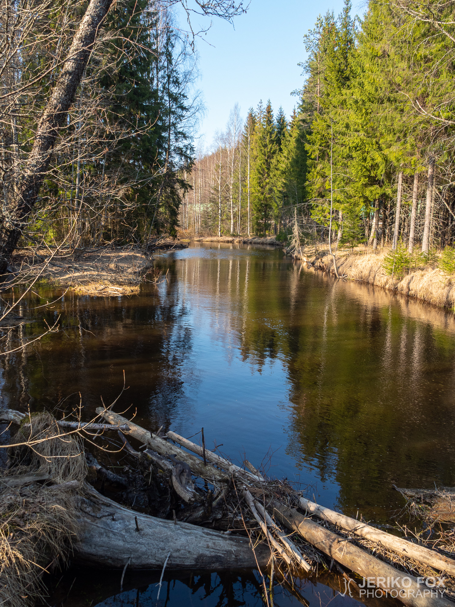
At the halfway there is the Tuhkakangas lean-to, a wood shed and a privy. There is also a bridge crossing the river, but I didn’t really find out why. On the other side is not much more than the railroad.
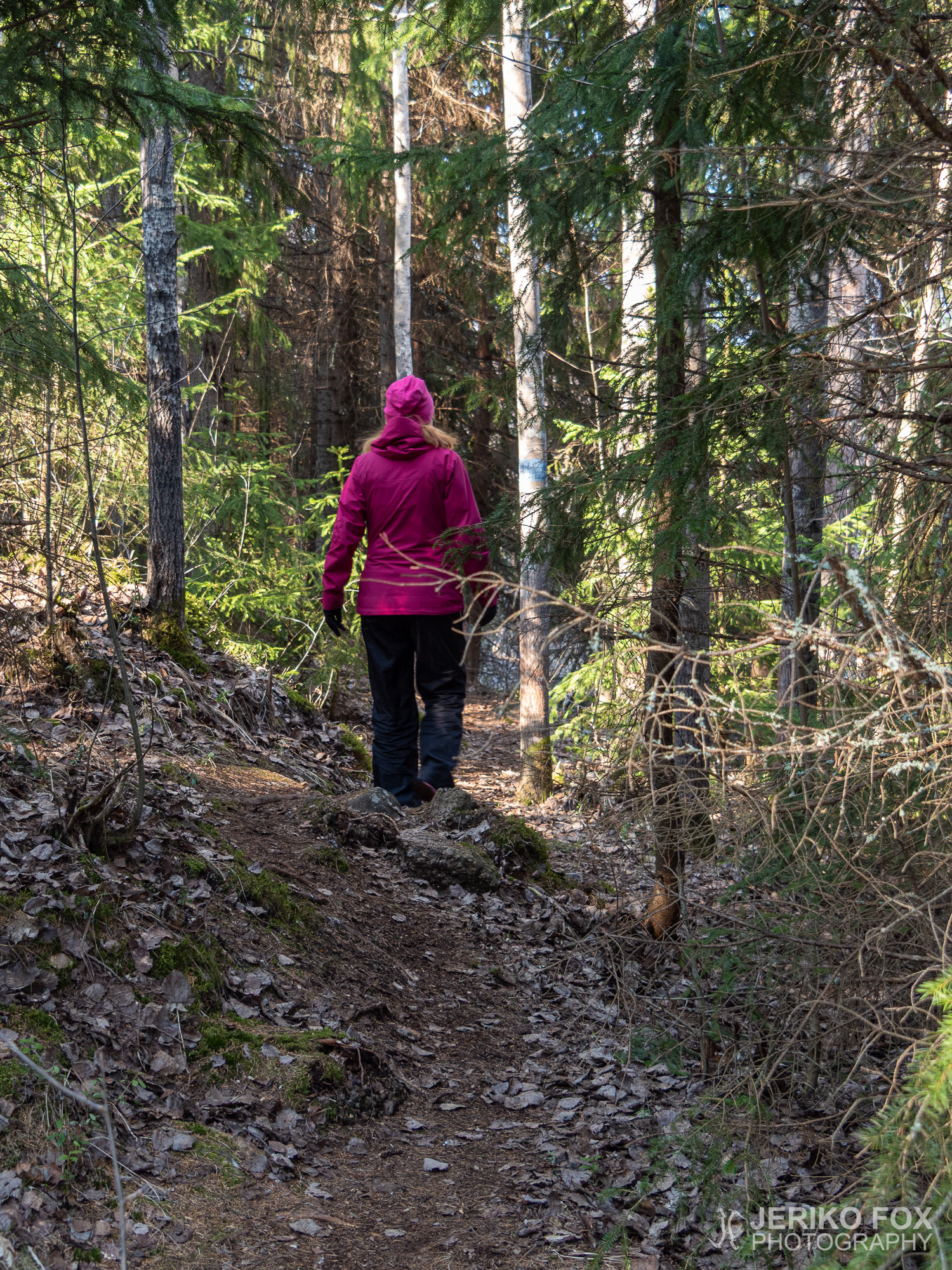
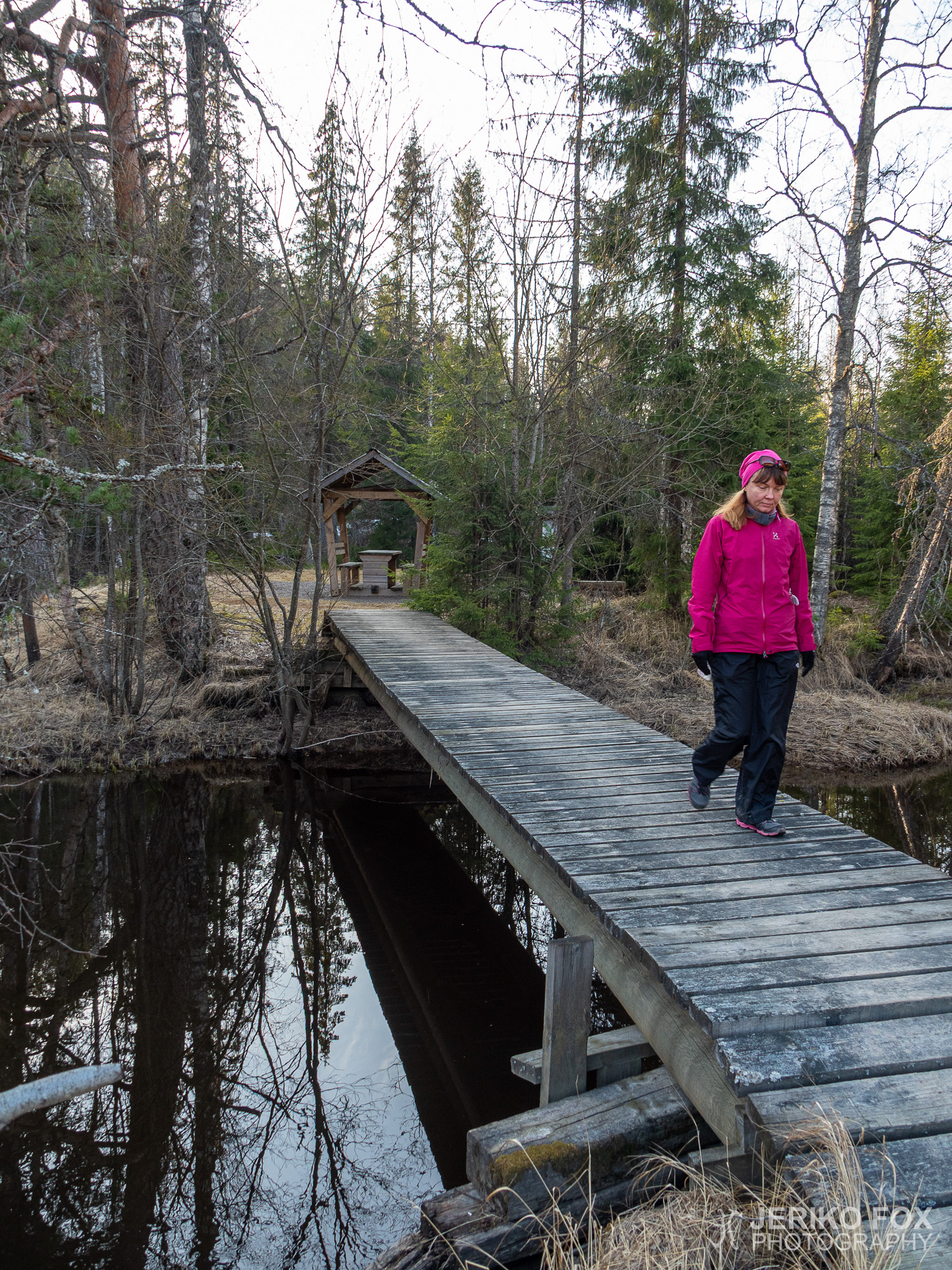
From the lean-to we continued along the river. There had been one car at the parking lot and apparently the owner of the car was walking towards us on the trail. We talked with her for a while and agreed that this is a quite nice trail indeed. What makes it so good is the clarity (good trail signs), good maintenance (no bushwhacking) and versatility. There was flat sections and uphills and downhills and pine trees and wetlands and whatnot. I would call this one of the less known local gems.
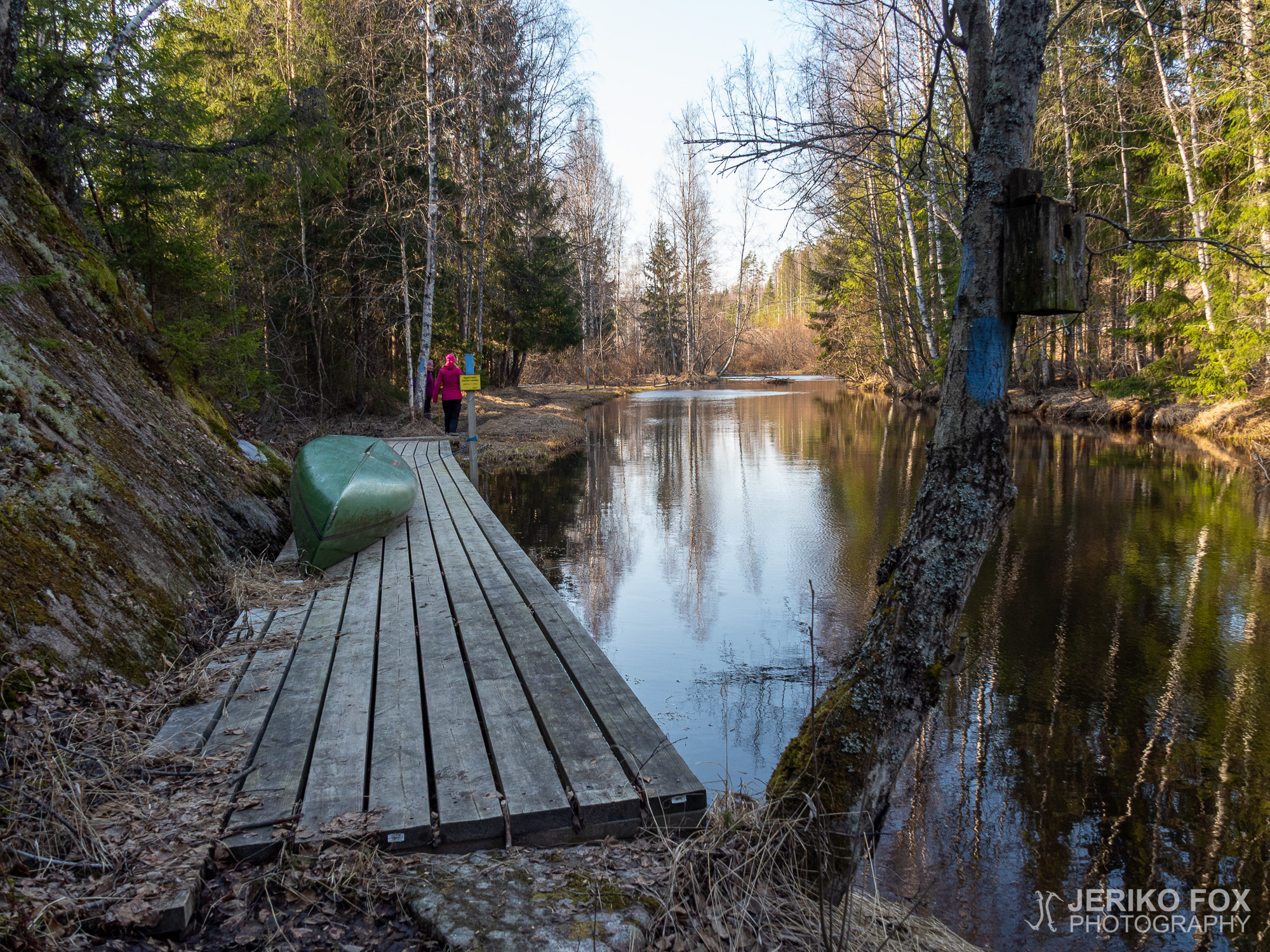
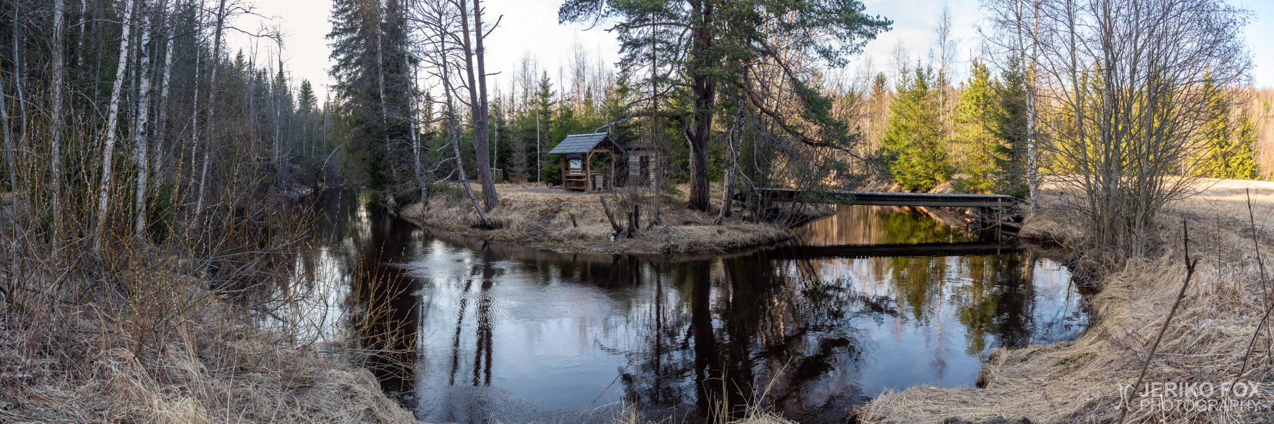
As we arrived to the Kiekan mutka, the end of the trail, there was a field with a privy on its edge and a bridge across the river leading to a rest spot with a covered table. There is some trail going even further, but the official hiking route ends here. We had a short break and then started our return trip. Because the trail has partially these upper and lower alternatives, one can return with a slightly different route.


Olin joskus pari vuotta aiemmin katsellut kartalta Alajoen melontareittiä, mutta en silloin ollut tietoinen, että joen vartta kulkee myös vaelluspolku. Nyt etsiessäni uusia vähemmän ruuhkaisia retkikohteita löysin sattumalta Alajoen retkeilyreitin.
Koronaviruspandemia alkoi vaikuttaa Suomessa maaliskuun lopulla ja huhtikuussa käytössä oli jo merkittäviä rajoitustoimia. Ulkoilua pienissä ryhmissä ei oltu kuitenkaan rajoitettu ja tämä onkin nostanut retkeilyn suosiota varsin nopeasti. Omassa elämässäni tanssinopetustyöt olivat siirtyneet etäaikaan ja sairaalatyöt taas omanlaisiinsa poikkeustoimiin.
Alajoen retkeilyreitin kaakkoispää on lähellä Vainikkalaa ja sieltä reittiä kannattanee lähestyä. Varsinaista parkkipaikkaa ei ole, mutta kapealla hiekkatiellä (Korpelantie) on pieni levennys, johon mahtuu 2-3 autoa ja viereiseen tienristeykseen pari lisää.
Reitti on merkitty sinisillä täplillä puuhun ja sitä on muutenkin helppo seurata. Maasto on vaihtelevaa, mutta ei erityisen vaikeakulkuista. Muutamassa kohdassa reitistä on valittavissa ylempi ja alempi – jälkimmäinen on osittain alkukeväästä suljettu tulvimisen takia. Yhteen suuntaan polku on 3 km eli edestakaisin kulkiessa matkaa tulee 6 km.
Ennen puoltaväliä reitti nousee pienelle mäelle, josta on näköala kosteikolle ja Venäjän puolelle vieville junaraiteille. Korona-ajasta huolimatta junia kulki retkemme aikana jonkin verran. Näköalapaikalla on myös penkki, jos haluaa rauhassa istua alas junabongailemaan.
Noin puolivälissä Tuhkakankaan laavu, jonka tuntumassa on myös puuvaja sekä huussi. Laavun läheltä Alajoen yli menee myös silta, mutta sen merkitys ei täysin avautunut minulle. Toisella puolella pääsee lähinnä junaradan luokse.
Laavulta jatkoimme pitkin jokirantaa. Parkkipaikalla oli ollut yksi auto tullessamme ja ilmeisesti tämän auton omistaja käveli nyt vastaamme. Juttelimme naisen kanssa hetken ja totesimme yhdessä, että tämä on kyllä erittäin mukava vaelluspolku. Miellyttävän reitistä tekee sen selkeys, siisteys (ei puskemista pusikoituneiden osioiden läpi) ja monipuolisuus. Välillä on tasaisempaa, välillä mäkisempää, hetkittäin ollaan havumetsässä ja toisinaan kosteikkoalueella. Sanoisinkin kyseessä olevan yksi paikallisista vähemmän tunnetuista helmistä.
Saapuessamme Kiekan mutkaan, reitin loppuun, tulimme ensin pellolle, jonka laidalla on huussi. Siltaa pitkin pääsee joen yli taukopaikalle, jossa on katettu pöytä. Polkua jatkuu tästä eteenpäinkin, mutta virallinen reitti päättyy tähän. Pidimme lyhyen evästauon ja lähdimme sitten palaamaan takaisinpäin. Koska reitillä on osittain ylempi ja alempi versio, voi halutessaan palata hieman eri polkua pitkin.
Max elevation: 60 m
Total time: 02:45:29