
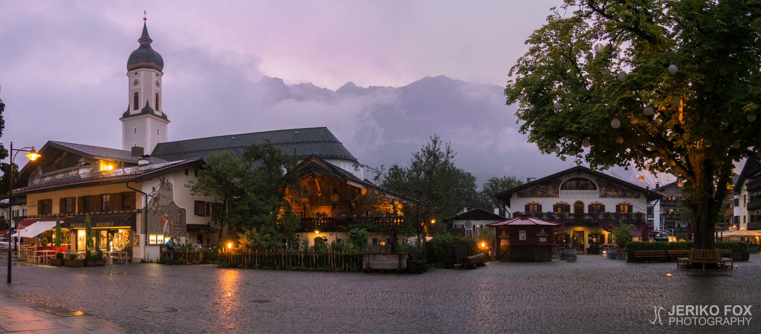
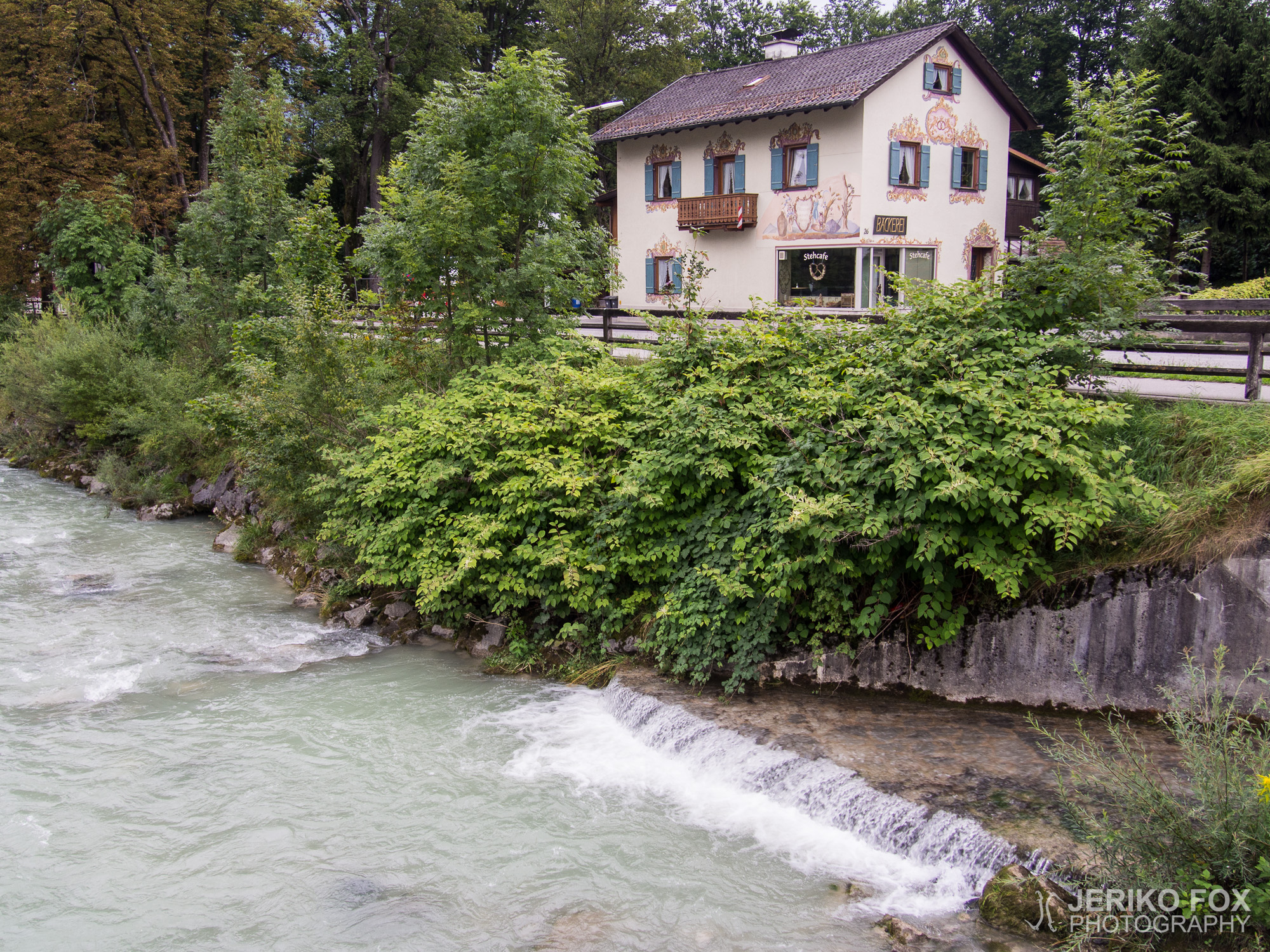
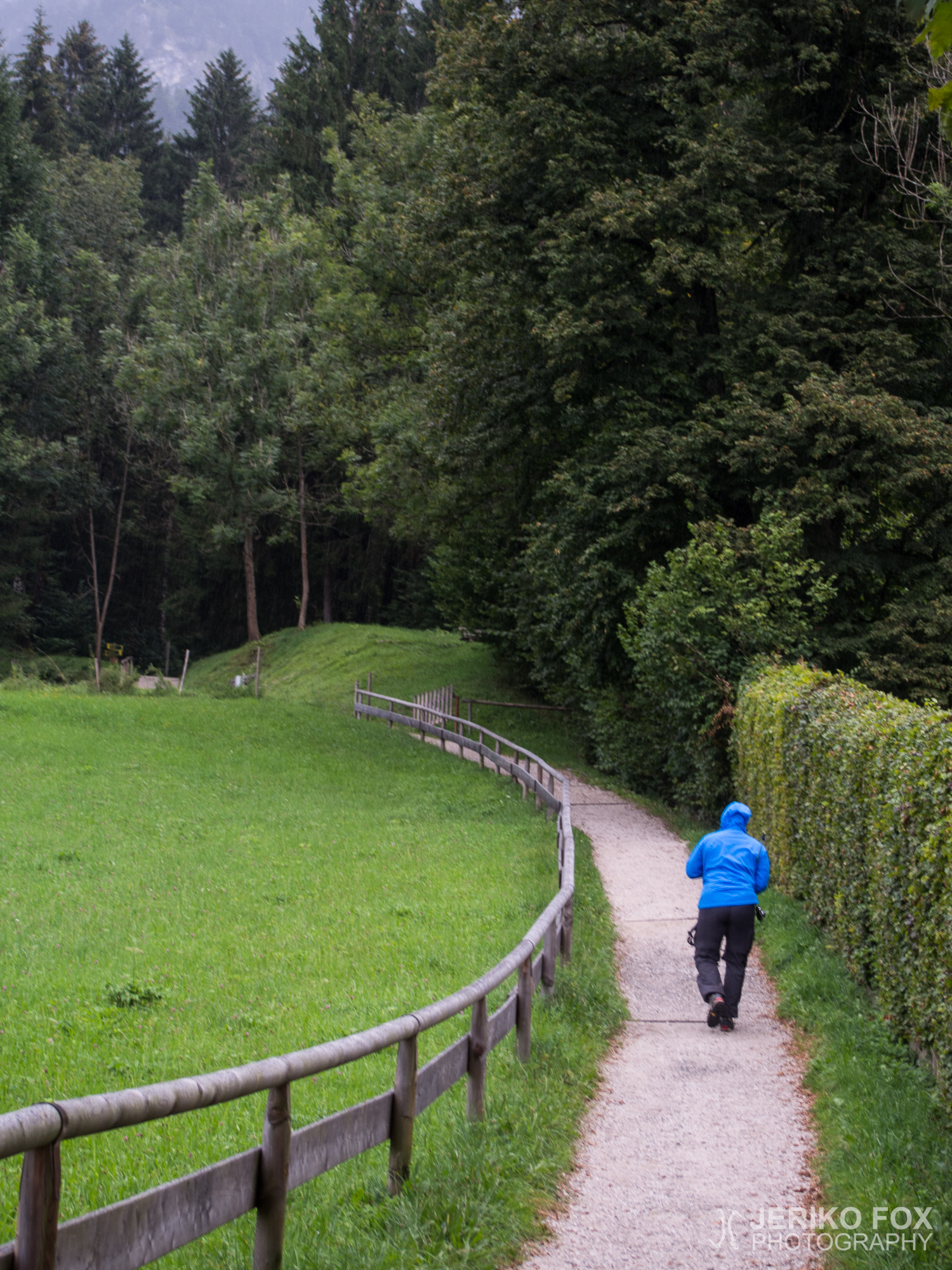
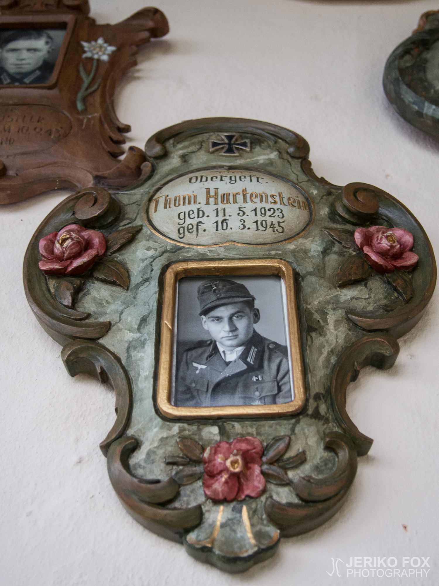
We decided to rest for another day, since the weather wasn’t any better and we haven’t really fully recovered after climbing the Sonnenspitze. During the afternoon we realised that we still wanted to get out for a little while and we agreed to make an easy hike to St. Martins Hütte (1040m / 3412 ft), located on the side of the mountain Kramerspitz (my video of Kramerspitz traverse from 2010). We walked through the village and after half an hour reached the hut. It was already near the closing time, but we had the time to enjoy an apple strudel and a drink. While descending back to Garmisch we stopped at the Kriegergedächtniskapelle. It’s a memorial place for those soldiers from Garmisch-Partenkirchen who’ve perished or lost in World War II. From the chapel we continued our hike to the village in a light rain.


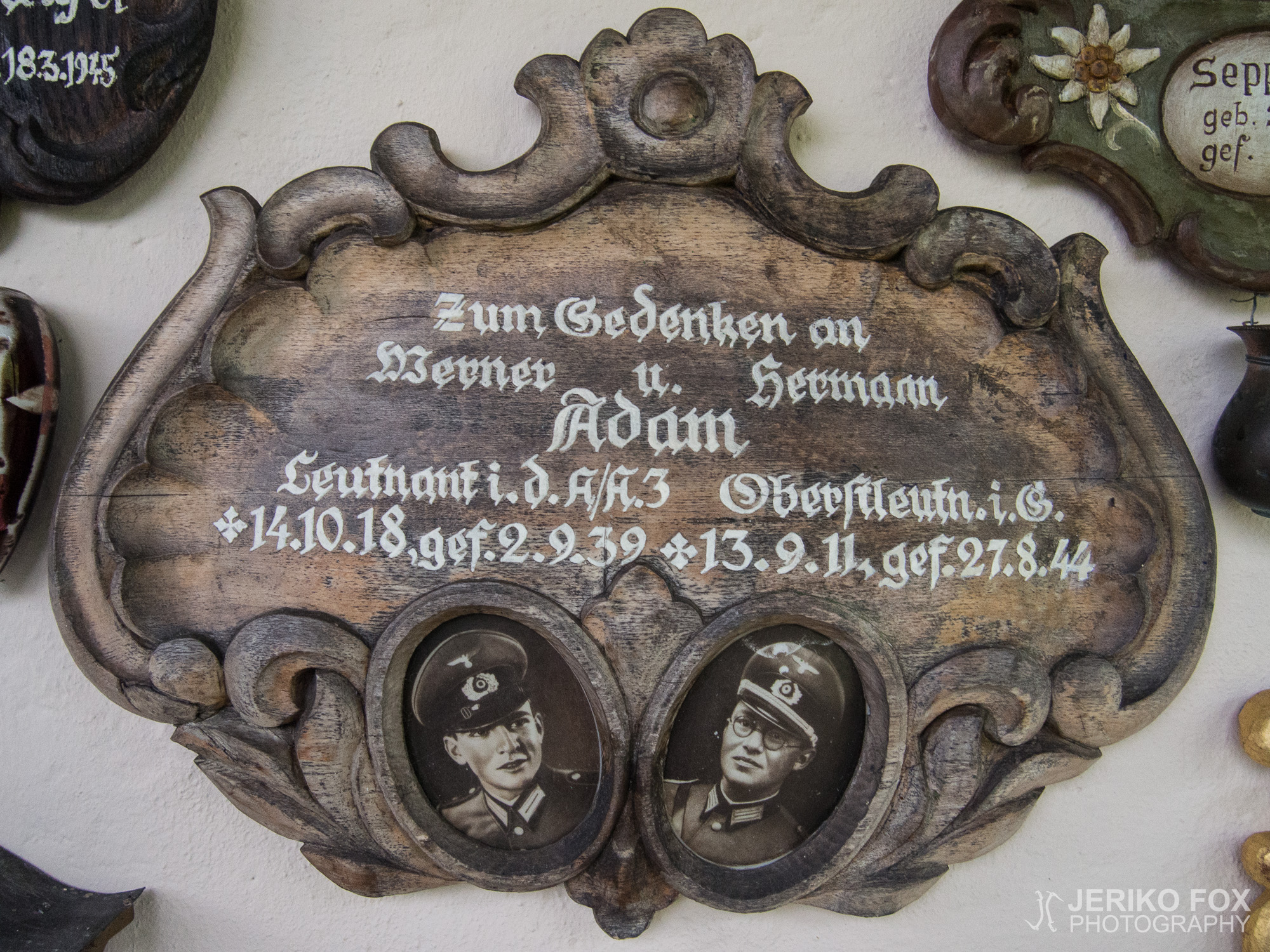
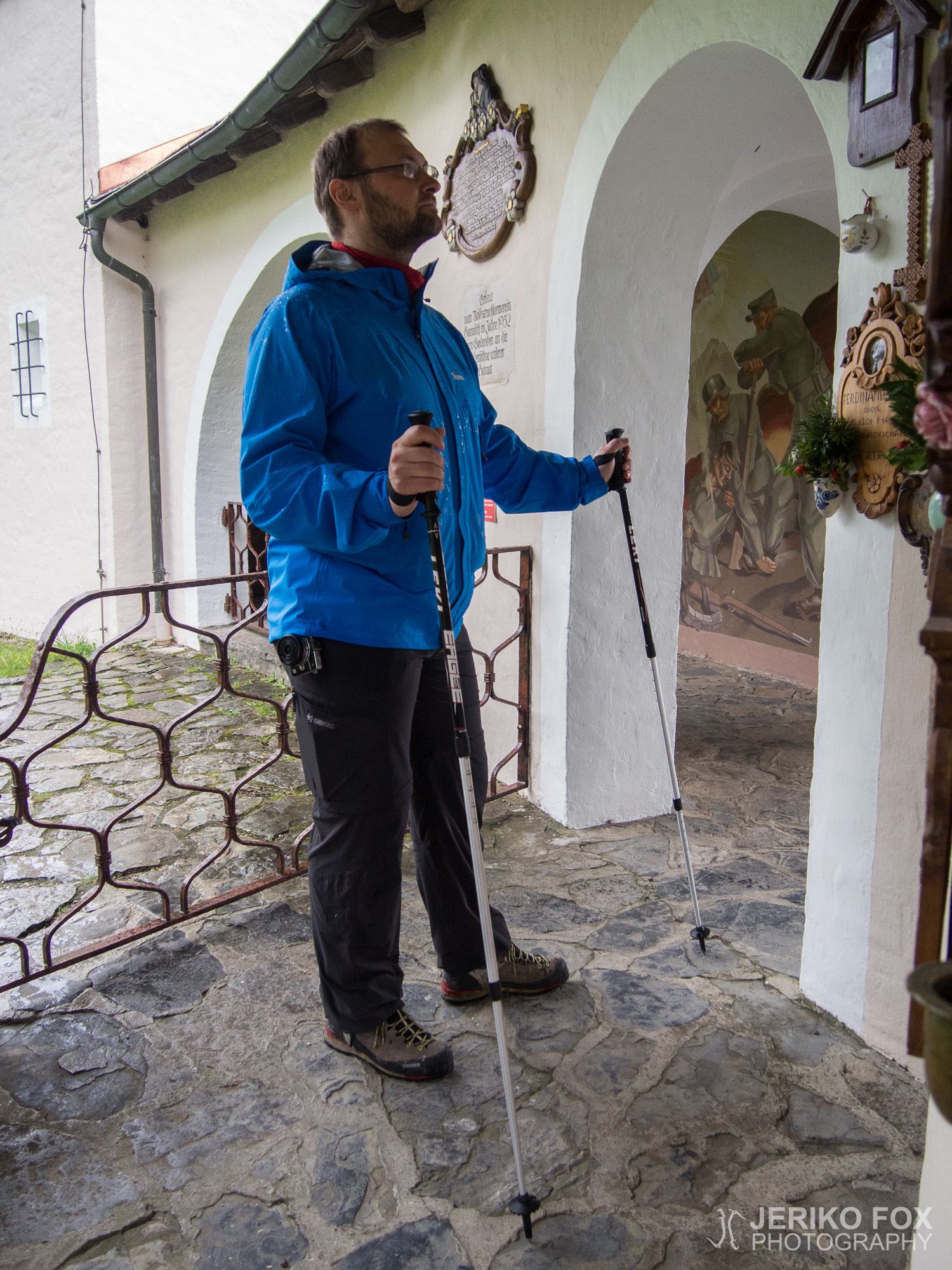


Päätimme pitää toisenkin lepopäivän, koska sää oli hieman epävakaa ja emme olleet aivan palautuneet Sonnenspitzen valloituksesta. Iltapäivällä päätimme kuitenkin, että haluaisimme päästä jonnekin liikkeelle majapaikastamme, joten suunnittelimme tekevämme kevyen vaelluksen St. Martins Hüttelle (1040 m) Kramerspitzen rinteelle (video Kramerspitzen ylityksestä vuodelta 2010). Kävelimme kylän läpi ja nousimme noin puolessa tunnissa majalle. Sulkemisaika oli lähellä, mutta ehdimme vielä saada tuhdin palan omenastrudelia ja juotavaa. Laskeuduimme takaisin Garmischiin Kriegergedächtniskapellen kautta, jossa on toisessa maailmansodassa kuolleiden ja kadonneiden Garmisch-Partenkircheniläisten sotilaiden muistolaattoja. Kappelilta jatkoimme matkaa kylään kevyessä sateessa.
Max elevation: 921 m
Total time: 02:26:07